April 26 , 2020 .
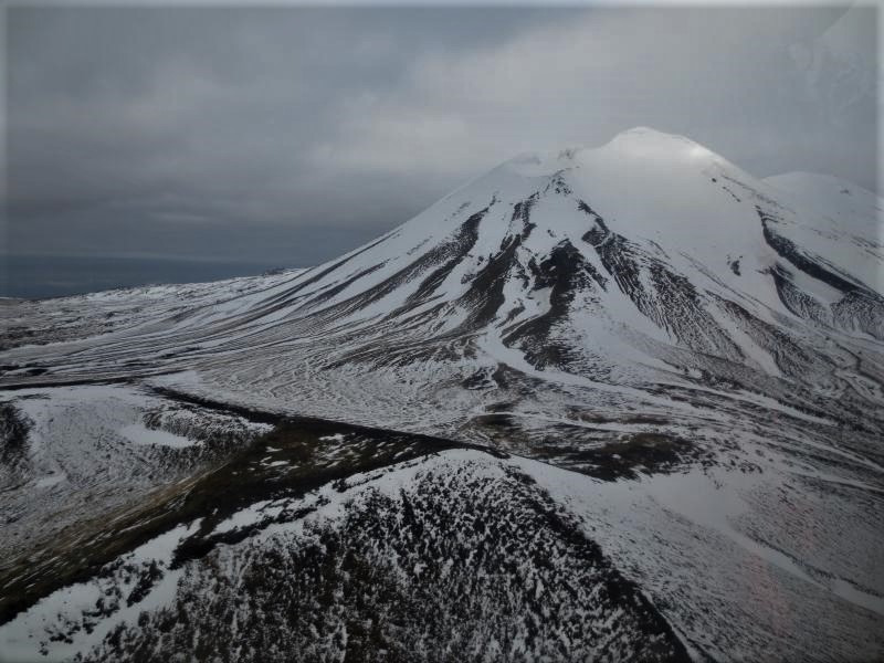
Alaska , Semisopochnoi :
51°55’44 » N 179°35’52 » E,
Summit Elevation 2625 ft (800 m)
Current Volcano Alert Level: ADVISORY
Current Aviation Color Code: YELLOW
Unrest continues with occasional small earthquakes and periods of seismic tremor occurring over the past day. There have been no detections of explosive activity coming from the direction of Semisopochnoi on a regional infrasound array. Minor steaming and possible sulfur dioxide gas emissions were observed in satellite data over the past day, indicative of continued unrest. Observation of the volcano itself was obscured by low clouds.
Semisopochnoi is monitored by local seismic sensors, satellite data, and lightning detection networks. An infrasound array on Adak Island may detect explosive emissions from Semisopochnoi with a slight delay (approximately 13 minutes) if atmospheric conditions permit.
Source : AVO.
Photo : Kaufman max.
Indonesia , Semeru :
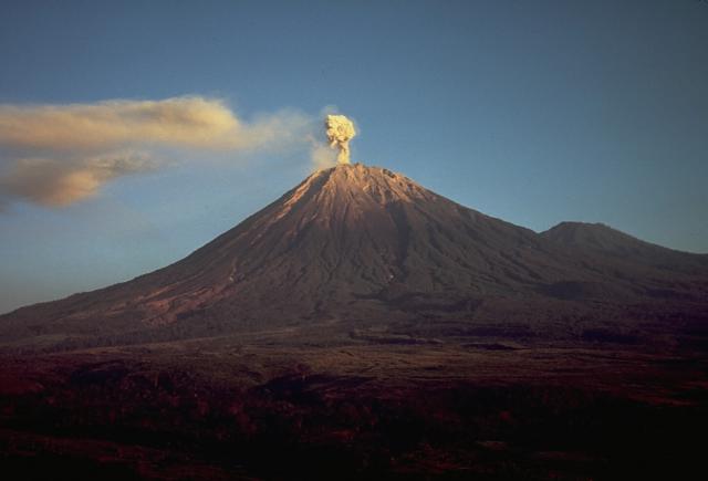
Level of activity at level II (WASPADA). The Semeru volcano (3676 m above sea level) is experiencing a continuous eruption. The last eruption occurred on April 25, 2020.
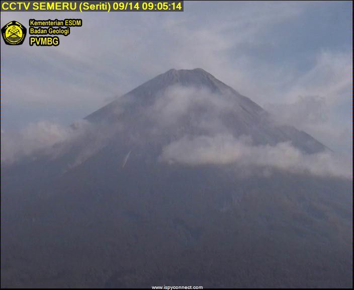
The volcano is clearly visible until it is covered with fog. No smoke from the crater is observed. The weather is sunny to cloudy, the winds are light to moderate to the North, Northeast, East and Southwest. An eruption occurred, resulting in a thick column of gray-white eruption of thick intensity, about 500 meters above the summit.
According to the seismographs of April 25, 2020, it was recorded:
81 eruption / explosion earthquakes
5 avalanche earthquakes
9 emission earthquakes.
Recommendation:
The community must not carry out activities within a radius of 1 km and in the area up to 4 km in the South-South-East slope sector of the active crater which is an opening area of the active crater of G. Semeru (Jongring Seloko) as a channel for sliding warm clouds.
Be aware of the presence of the lava dome in the Seloko Jongring crater.
VOLCANO OBSERVATORY NOTICE FOR AVIATION – VONA.
Issued: April 25 , 2020.
Volcano: Semeru (263300)
Current Aviation Colour Code: ORANGE
Previous Aviation Colour Code: orange
Source: Semeru Volcano Observatory
Notice Number: 2020SMR33
Volcano Location: S 08 deg 06 min 29 sec E 112 deg 55 min 12 sec
Area: East java, Indonesia
Summit Elevation: 11763 FT (3676 M)
Volcanic Activity Summary:
Eruption with volcanic ash cloud at 00h32 UTC (07h32 local).
Volcanic Cloud Height:
Best estimate of ash-cloud top is around 13363 FT (4176 M) above sea level, may be higher than what can be observed clearly. Source of height data: ground observer.
Other Volcanic Cloud Information:
Ash cloud moving to west
Remarks:
Seismic activity is characterized by eruption, avalanche and gas emission earthquakes
Source : PVMBG , Magma Indonésie .
Photo : Thomas J. Casadevall, USGS — Smithsonian – Global Volcanism Program, archive pvmbg.
Guatemala , Santiaguito :
Activity type: Pelean
Morphology: Complex of dacitic domes
Location: 14 ° 44 ’33 ˝ Latitude N; 91 ° 34’13˝ Longitude W
Height: 2500msnm
Atmospheric conditions: Cloudy.
Wind: northeast 5 k / h.
Precipitation: 6.7 mm.
Activity:
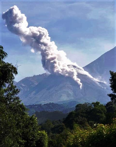
The crater of the Caliente dome, maintains a white fumarole, mainly water vapor at 3200 m altitude. (10492 feet). The network of seismic stations records weak explosions, which eject ash columns at about 3400 meters above sea level (11154 feet) which disperse to the West and Southwest, falling on the villages of Loma Linda and San Marcos. Aircraft turbine type degassing noises are sometimes heard. An incandescence is observed at night in the crater. There are constant avalanches of boulders on the South, East and South-East flanks.
Source : Insivumeh .
Photo : conred.
Philippines , Taal / Mayon :
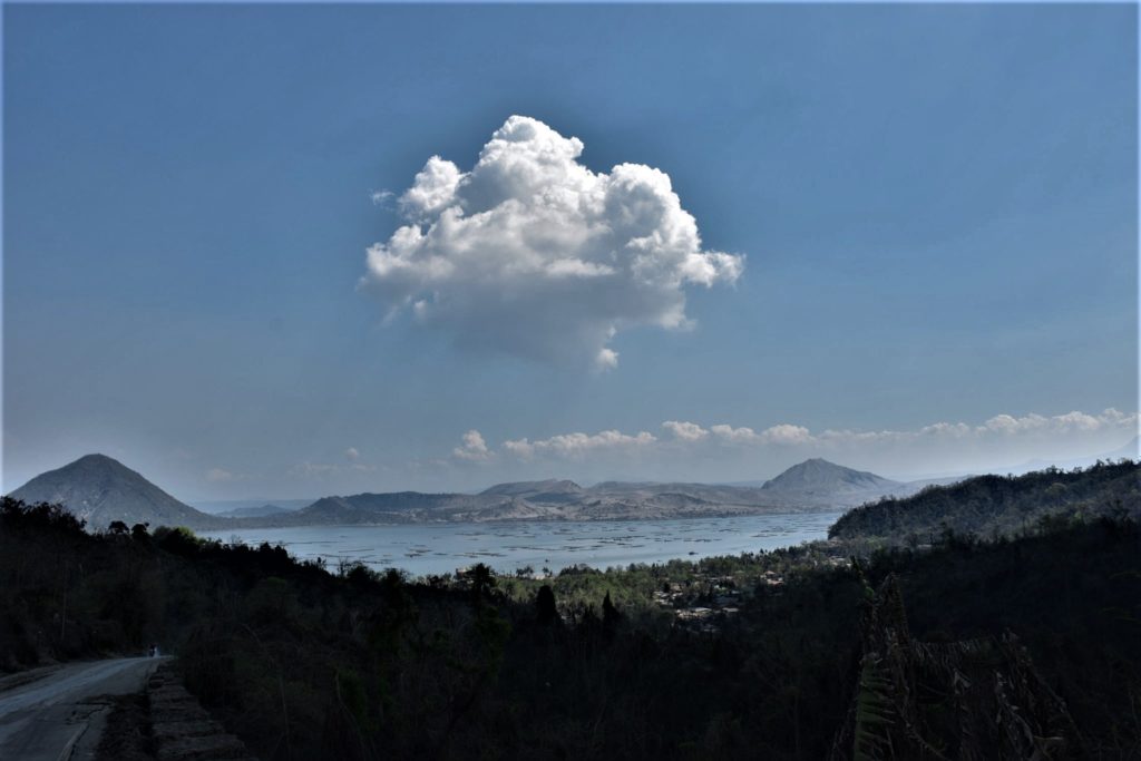
TAAL VOLCANO BULLETIN 26 April 2020 08:00 A.M.
In the past 24-hour period, the Taal Volcano Network recorded ten (10) volcanic earthquakes that are associated mainly with rock-fracturing processes beneath and around the edifice. Weak steaming or fumarolic activity was observed from fissure vents along the Daang Kastila trail.
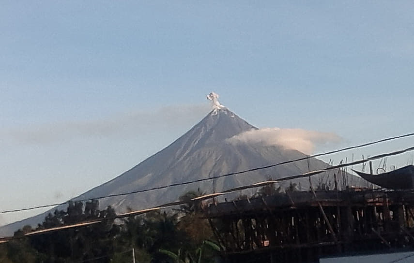
MAYON VOLCANO BULLETIN 26 April 2020 08:00 A.M.
Mayon Volcano’s seismic monitoring network did not detect any volcanic earthquake during the 24-hour observation period. Moderate emission of white steam-laden plumes that crept downslope before drifting west-southwest was observed. Faint crater glow from the summit could be observed at night. Sulfur dioxide (SO2) emission was measured at an average of 293 tonnes/day on 20 April 2020. Recent electronic tilt data showed inflation of the middle to upper portions of the volcanic edifice that began in the last quarter of 2019. This follows an inflationary trend that began in February 2019 as recorded by continuous GPS monitoring.
Source : Phivolcs .
Photos : Julien Monteillet , manilla bulletin .

