April 13 , 2020.
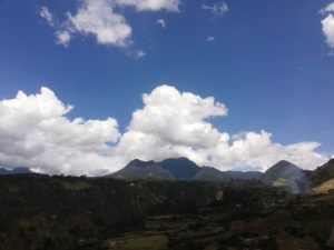
Indonesia , Kerinci :
VOLCANO OBSERVATORY NOTICE FOR AVIATION – VONA.
Issued: April 13 , 2020.
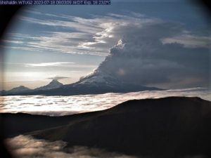
Volcano: Kerinci (261170)
Current Aviation Colour Code: ORANGE
Previous Aviation Colour Code: orange
Source: Kerinci Volcano Observatory
Notice Number: 2020KER18
Volcano Location: S 01 deg 41 min 49 sec E 101 deg 15 min 50 sec
Area: Jambi, West Sumatra, Indonesia
Summit Elevation: 12176 FT (3805 M)
Volcanic Activity Summary:
On 13 April 2020, observed brown ash emission at 06:03 UTC ( 13:03 Local Time ).
Volcanic Cloud Height:
Best estimate of ash-cloud top is around 14736 FT (4605 M) above sea level, may be higher than what can be observed clearly. Source of height data: ground observer.
Other Volcanic Cloud Information:
Ash emission moving East-Northeast
Remarks:
Seismic activity is dominated by gas emission and continuous vulcanic tremor with amplitude 0,5-1 mm (dominan 1mm).
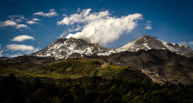
Level II activity level (WASPADA). The Kerinci volcano (3805 m above sea level) is experiencing a continuous eruption. The last eruption occurred on March 30, 2019, causing a column of eruption 600 meters above the summit. The color of the emission column was observed in gray.
The volcano is cleared then covered with fog. The smoke from the crater is medium to strong, observed white and brown in color with a height of 50-100 m above the summit. The weather is sunny, cloudy and rainy. The wind is blowing west.
According to the seismographs of April 12, 2020, it was recorded:
100 earthquakes of explosions
1 deep tectonic earthquake
Continuous tremor (Microtremor) amplitude 0.5 to 1 mm (dominant value 1 mm)
Recommendation:
Communities around Mount Kerinci and visitors / tourists are not allowed to climb to the crater at the top of Kerinci volcano within 3 km of the active crater (people are prohibited from doing activities within the danger radius / KRB III).
We recommend avoiding flight paths around G. Kerinci because at any time there may still be eruptions of ash with an altitude that can disturb the flight path.
Source : Magma Indonésie , PVMBG.
Photo : Auteur Inconnu.
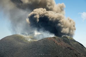
Chile , Nevados of Chillan :
Special volcanic activity report (REAV), region of the Nevados de Chillán volcanic complex, on April 12, 2020 at 3.10 p.m. local time (mainland Chile).
The National Geological and Mining Service of Chile (Sernageomin) discloses the following PRELIMINARY information, obtained thanks to the surveillance equipment of the National Volcanic Surveillance Network (RNVV), processed and analyzed at the South Andes Volcanological Observatory (OVDAS ):
On Sunday April 12, 2020 at 2:07 p.m. local time (6:07 p.m. UTC), the monitoring stations installed near the Nevados de Chillán volcanic complex recorded an explosion with superficial manifestations and emissions of particulate materials.
The characteristics of the earthquake are as follows:
TIME OF ORIGIN: 2:07 p.m. local time (6:07 p.m. UTC).
LATITUDE: 36 871 ° S
LONGITUDE: 71.373 ° W
DEPTH: 0.4 km
REDUCED DISPLACEMENT: 15 cm2
The characteristics of surface activity are as follows:
MAXIMUM HEIGHT OF THE TRANSMISSION COLUMN: 2300 m above the emission point.
DIRECTION OF DISPERSION: South East
OBSERVATIONS:
The volcanic technical alert is maintained at the YELLOW level.
Source : Sernageomin .
Photo : agence uno , biobiochiles
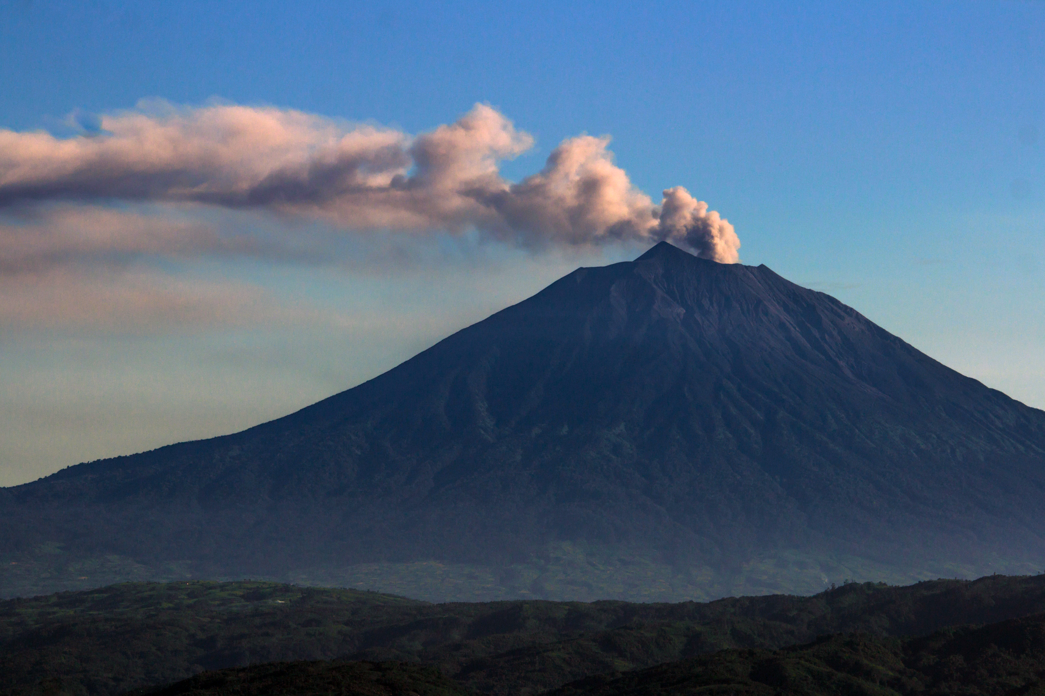
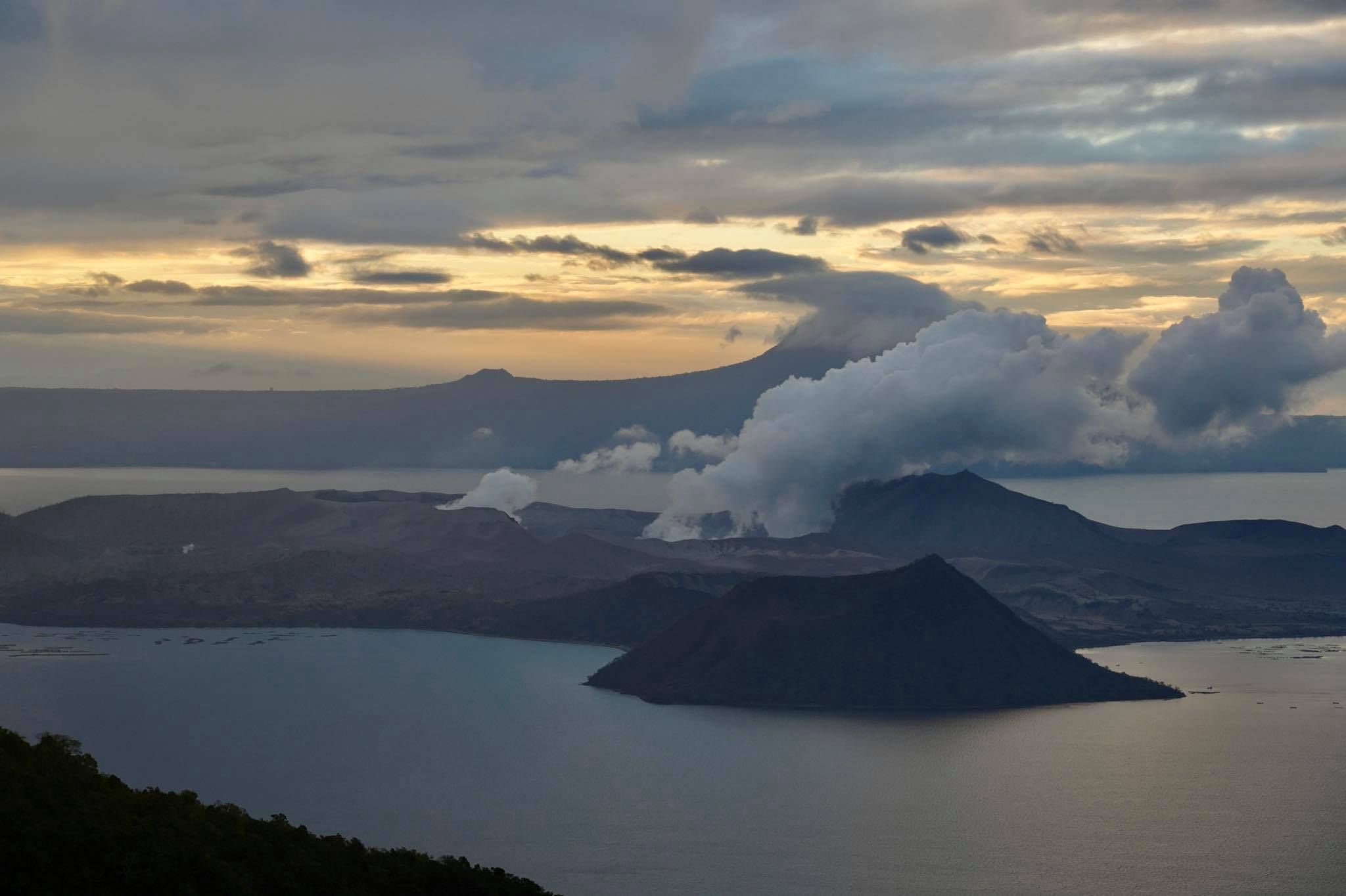
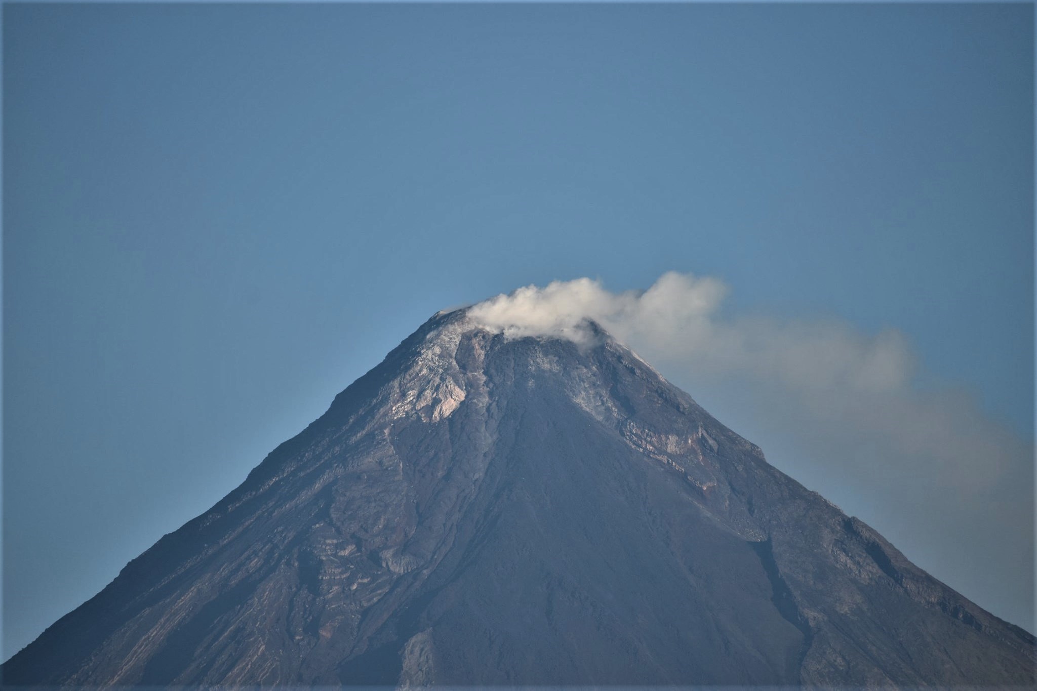
Philippines , Taal / Mayon / Kanlaon :
TAAL VOLCANO BULLETIN: 13 April 2020 08:00 A.M.
In the past 24-hour period, the Taal Volcano Network recorded twenty (20) volcanic earthquakes that are mainly associated with rock-fracturing processes beneath and around the edifice. Weak fumarolic activity was observed from fissure vents along the Daang Kastila trail.
MAYON VOLCANO BULLETIN: 13 April 2020 08:00 A.M.
Mayon Volcano’s seismic monitoring network recorded two (2) volcanic earthquakes during the 24-hour observation period. Faint crater glow from the summit could be observed at night. Sulfur dioxide (SO2) emission was measured at an average of 339 tonnes/day on 07 April 2020. Recent electronic tilt data showed inflation of the middle to upper portions of the volcanic edifice that began in the last quarter of 2019. This follows an inflationary trend that began in February 2019 as recorded by continuous GPS monitoring.
KANLAON VOLCANO BULLETIN: 13 April 2020 08:00 A.M.
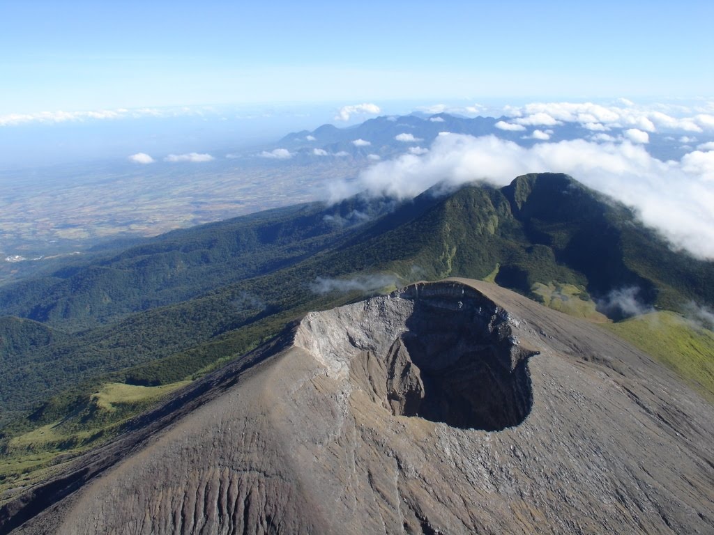
Kanlaon Volcano’s seismic monitoring network did not detect any volcanic earthquake during the 24-hour observation period. Ground deformation data from continuous GPS measurements indicate a period of long-term slow inflation of the edifice since 2017, while short-term electronic tilt monitoring on the southeastern flanks recorded slow inflation of the lower slopes since May 2019 and pronounced inflation of the upper slopes at the end of January 2020. These parameters indicate that hydrothermal or magmatic activity is occurring deep beneath the edifice.
Source : Phivolcs.
Photos : Raffy Tima , Julien Monteillet , canlaon-negros-travelling .
Hawaii , Kilauea :
An earthquake was felt on Hawaiʻi island on Easter Sunday.
Preliminary measurements indicate that the earthquake was a Magnitude 3.7, centered 4.7 miles east northeast of Pāhala, about 20 miles deep below the surface.
The earthquake appears to fit the profile of a deep Pāhala earthquake. The USGS Hawaiian Volcano Observatory recently issued a Kīlauea Information Statement on the ongoing swarm occurring below the Pāhala-area of Kaʻū under the volcano’s Southwest Rift Zone.
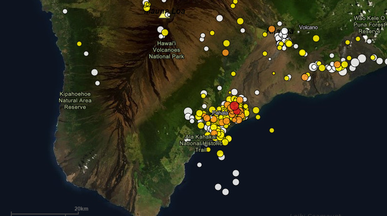
“Clustering of deep earthquakes in this region does not mean an eruption is imminent,” scientists wrote. “HVO has recorded earthquakes in this area for many decades across several eruptive cycles at both Kīlauea and Mauna Loa volcanoes. No correlation between seismic activity in this zone and volcanic activity at the surface has been established, although this is an important topic for future research.”
“The HVO monitoring network has recorded a high rate of seismicity in this region, typically between 20-40 earthquakes per day, since August 2019,” the April 8 statement reads. “A peak rate of more than 80 per day was recorded in February 2020. These rates are the highest ever measured for the area in the 60 years of instrumental observation.”
Source : bigislandvideonews.com.
Read the article : https://www.bigislandvideonews.com/2020/04/12/earthquake-shakes-hawaii-on-easter-sunday/?fbclid=IwAR1rvT0ijWYLtMcNj_UQrkNGHTEzaqViwiwRSI0gPl02Oxd3F1bt8w1v94o
Photos : USGS.