December 27 , 2019
Alaska , Shishaldin :
54°45’19 » N 163°58’16 » W,
Summit Elevation 9373 ft (2857 m)
Current Volcano Alert Level: WATCH
Current Aviation Color Code: ORANGE
The low-level eruption at Shishaldin Volcano continues. Seismicity has remained elevated over the past day. Strongly elevated surface temperatures were detected at the summit overnight. An active lava flow extending 0.5-1 km northeast of the summit was observed in satellite imagery. No ash emissions have been detected. Web camera views were obscured by clouds and snow over the past 24 hours.
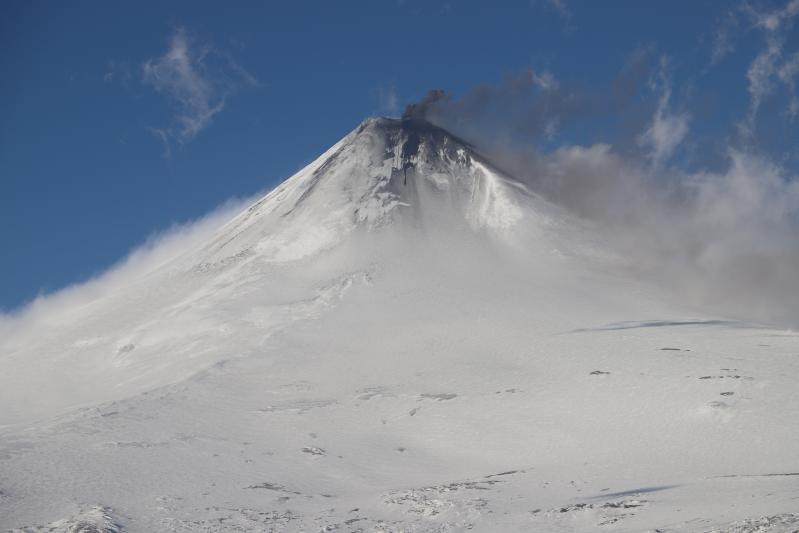
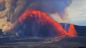
Ash bursts at Shishaldin volcano as viewed from the southeast flank.
Episodic explosions and lava flow front collapses resulting in low-level ash plumes can occur with little warning.
Shishaldin is monitored by local seismic and infrasound sensors, satellite data, web cameras, a telemetered geodetic network, and distant infrasound and lightning networks.
Source : AVO.
Photo : Schaefer, Janet , December 20, 2019, 3:31 PM.
Kamchatka , Klyuchevskoy :
56.06 N, 160.64 E;
Elevation 15580 ft (4750 m)
Aviation Colour Code is ORANGE
A moderate activity of the volcano continues. Ash explosions up to 16,400-23,000 ft (5-7 km) a.s.l. could occur at any time. Ongoing activity could affect low-flying aircraft.
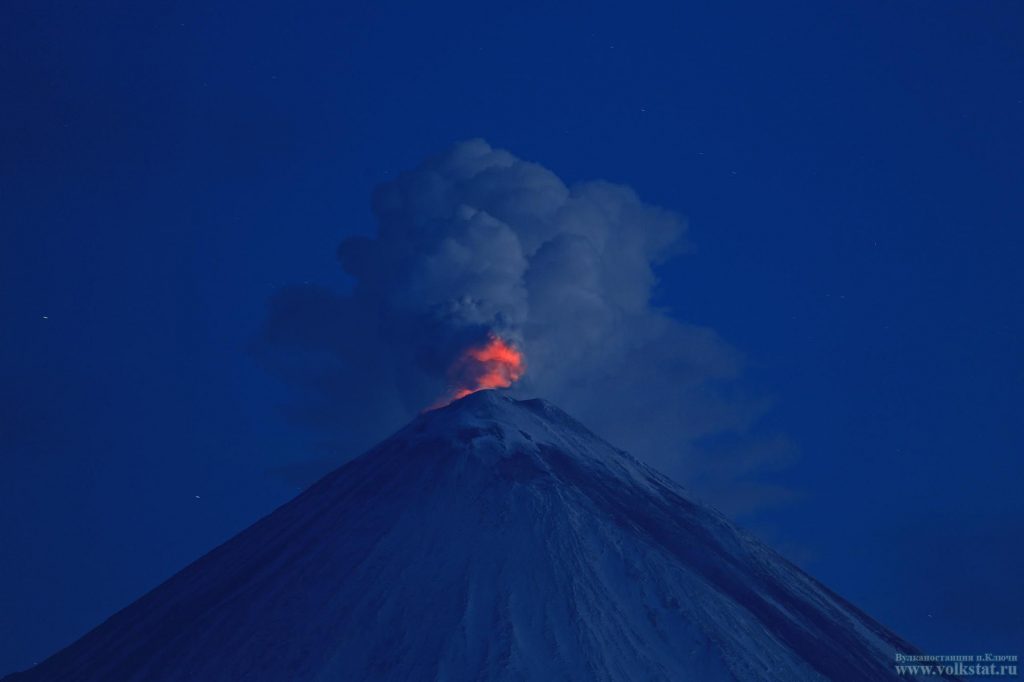
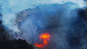
A moderate gas-steam activity of the volcano continues. Moderate Strombolian activity of the volcano was observed all week. Satellite data showed a weak thermal anomaly above the crater all week, gas-steam plume extended for 16 km to the northeast of the volcano on 22 December.
Source : Kvert.
Photo : Volkstat ru. ( 2016 ).
Mexico , Popocatepetl :
December 26, 11:00 a.m. (December 26, 5:00 p.m. GMT)
According to the Popocatepetl volcano monitoring systems, 202 exhalations have been identified accompanied by water vapor, volcanic gases and a low ash content. In addition, a volcano-tectonic earthquake was recorded yesterday at 5:23 pm with a magnitude of 2.6 and 10 minutes of tremor.
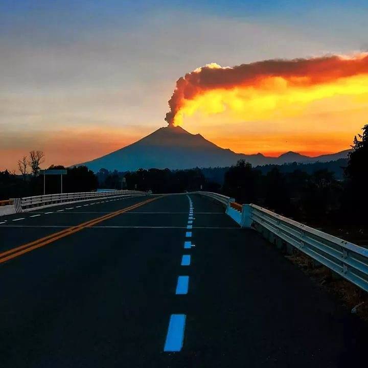
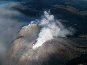
From the early hours of the morning, a constant and slight emission of volcanic gases and water vapor was observed, which are preferentially dispersed towards the Northeast.
CENAPRED urges NOT to APPROACH the volcano and especially the crater, because of the danger of falling ballistic fragments, and in case of heavy rain, to stay far from the bottom of the ravines because of the danger of mudslides and debris .
The Popocatépetl volcanic signaling light is in YELLOW PHASE 2.
Source : Cenapred .
Photo : Marco Antonio Nuñez.
Hawaii , Mauna Loa :
19°28’30 » N 155°36’29 » W,
Summit Elevation 13681 ft (4170 m)
Current Volcano Alert Level: ADVISORY
Current Aviation Color Code: YELLOW
Activity Summary:
Mauna Loa Volcano is not erupting. Rates of deformation and seismicity have not changed significantly over the past week and remain above long-term background levels.
Observations:
During the past week, approximately 106 small-magnitude earthquakes (less than M2.0) were detected beneath the upper elevations of Mauna Loa. Another 12 earthquakes slightly larger than M2.0 were detected, which is normal for the volcano at this time. Two of these events, both M3.2 earthquakes, were felt by several island residents. Most of the earthquakes occurred at shallow depths of less than 6 km (~4 miles) below sea level.
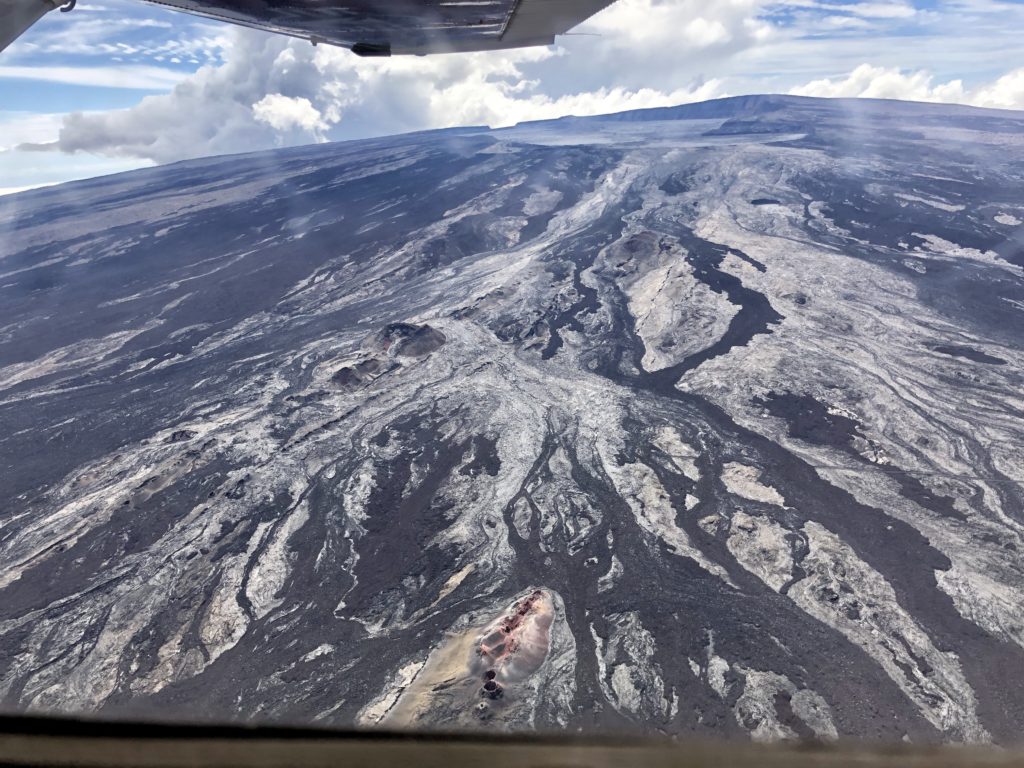
Cones, flows, and fissures mark the uppermost portions of Mauna Loa’s northeast rift zone in the foreground of this aerial image taken by Civil Air Patrol on Sunday, October 20, 2019. In the background, Moku‘āweoweo, Mauna Loa’s summit caldera, is visible. The highest point on Mauna Loa, the true summit, is in the upper right hand corner of the image.
Global Positioning System (GPS) and Interferometric Synthetic Aperture Radar (InSAR) measurements show continued summit inflation, consistent with magma supply to the volcano’s shallow storage system.
Gas concentrations at the Sulphur Cone monitoring site on the Southwest Rift Zone remain stable. Fumarole temperatures as measured at both Sulphur Cone and the summit have not changed.
Source : HVO.

