August 20 , 2019.
Peru , Ubinas / Sabancaya :
- Ubinas Volcano:
Analysis period: August 13 to 19, 2019, Arequipa, August 19, 2019
Alert level: ORANGE
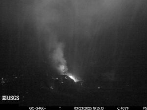
The Geophysical Institute of Peru (IGP) reports that the Ubinas volcano continues its eruptive process. To date, a decrease in seismic activity that would be related to the rise of the magma is recorded; however, bluish gas (magmatic gas) and water vapor emissions observed by surveillance cameras continue to record. In addition, after the analysis of the satellite images, thermal anomalies were detected which indicate the proximity of the magma to the surface of the crater. According to this scenario, one would expect a future explosive activity.
The IGP recorded and analyzed a total of 1,716 seismic events occurring on the Ubinas volcano between August 13 and 19, 2019, all with magnitudes less than M2.4. During this period of analysis, a smaller number of seismic signals were recorded, which would be related to the rise of the magma (LP and hybrid), that is 152 events per day during the past week. During this period, there were no volcanic explosions.
Ubinas volcano surveillance cameras recorded blue gas (magmatic gas) emissions of less than 1,500 meters above the base of the crater. Satellite monitoring, using information from the MIROVA system, identifies the presence of 7 thermal anomalies with a maximum power of 4 MW, indicating the proximity of the magma to the crater surface. The monitoring of the deformation of the volcanic structure, using GNSS data (processed with fast orbits), presents no anomalies.
- Sabancaya Volcano:
Analysis period: August 12-18, 2019 Arequipa, August 19, 2019
Alert level: ORANGE
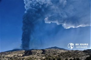
The Geophysical Institute of Peru (IGP) reports that the eruptive activity of the Sabancaya volcano has remained at moderate levels; that is, recording continuous explosions and resulting ash emissions. Therefore, for the following days, no significant change is expected.
The analysis of records obtained by the seismic network of the Sabancaya volcano for the period from 12 to 18 August 2019 has identified the occurrence of about 1989 earthquakes of volcanic origin, the highest percentage of which is associated to the movements of magmatic fluids. During this week, an average of 25 explosions per day of medium to low intensity were observed. On the other hand, there were 5 seismic swarms, whose events were located 13 km east of the volcano (Patapampa region).
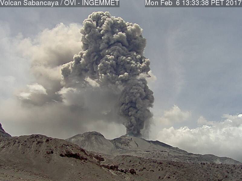
The monitoring of the deformation of the volcanic structure, using GNSS data (processed with fast orbits), does not show significant anomalies, but the presence of a slight inflation in the North sector of the volcano maintained, observed deformation since the beginning of the eruptive process . Visual surveillance, using surveillance cameras, identified the emission of gas and ash columns up to a height of 3 km above the summit of the volcano, which dispersed in the direction South, South-East and South-West taking Sabancaya volcano as a reference. Satellite monitoring identified 8 volcanic anomalies on the volcano from 8 MW to 22 MW, associated with the presence of a hot body near the surface and the continued occurrence of explosions.
Source : IGP Peru.
Photos : Auteur inconnu , Ingemmet ( archives).
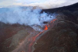
Chile , Nevados de Chillan :
Special report of volcanic activity (REAV).
Nuble Region, Volcano Nevados of Chillan, August 18, 2019, 13:55 local time (mainland Chile).
The National Geological and Mining Service of Chile (Sernageomin) publishes the following PRELIMINARY information, obtained from monitoring equipment of the National Volcanic Monitoring Network (RNVV), processed and analyzed at the Volcanological Observatory of the Southern Andes (OVDAS) :
On Sunday, August 18, 2019 at 13:43 local time (17:43 UTC), monitoring stations near the Nevados volcano of Chillan recorded an explosive event associated with the occurrence of a long-period type earthquake (Type LP) which was in relation to the dynamics of the fluids inside the volcano.
The location of the earthquake after its analysis is:
TIME OF ORIGIN: 13:43 Local time (17:43 UTC – 18 August)
LATITUDE: 36,867 ° S
LONGITUDE: 71.375 ° W
DEPTH: 0.6 KM
REDUCED MOVEMENT: 508 cm2
ACOUSTIC SIGNAL: 0.5 Pa reduced to 1 km
OBSERVATIONS:
The explosion was associated with the recording of a seismic signal with a reduced displacement value (average of seismic energy) of 508 cm2, considered high. Also, it was recorded greyish degassing, which reached a height of 400m above the active crater.
The level of volcanic technical alert remains at the level: ORANGE.
Sernageomin continues online monitoring and will inform in a timely manner about any changes observed.
Source : Sernageomin.
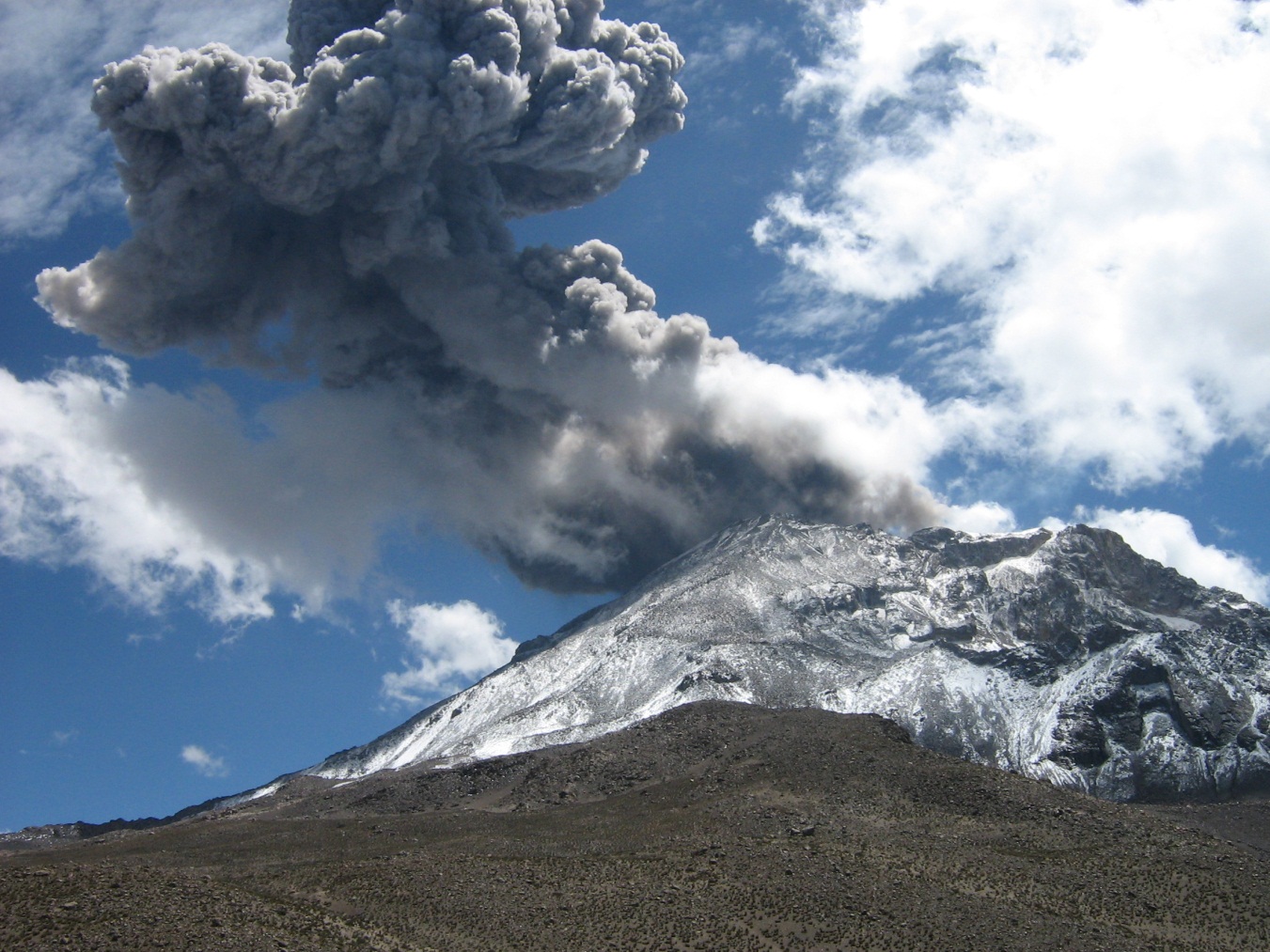
Indonesia , Slamet :
Level of activity at level II (Waspada) of G. Slamet (3,432 m.dpl) since 9 August 2019 at 09:00 WIB. Seismic and deformation records increased in June 2019
Since yesterday and until this morning, visually, the volcano was clearly visible until it was covered with fog. The smoke from the main crater had a height of 50 meters from the top of the peak with a white color and low intensity.
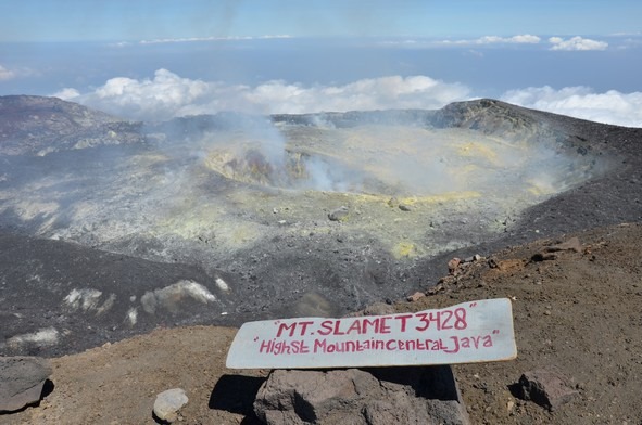
Through the seismographic recording of August 19, 2019, it was noted:
940 bursts of earthquake
1 local tectonic earthquake
Continuous tremor with a dominant amplitude of 4 mm
Recommendation:
The community and visitors / tourists should not be / be active within a radius of 2 km around the crater at the top of G. Slamet.
Regional governments, provincial and regency BPBDs should always coordinate with Slamet’s PGA missions in Gambuhan village, Pulosari district, Pemalang district or Bandung Volcanology and Disaster Prevention Center in Bandung .
VONA:
The last VONA color code was sent in YELLOW color, published on August 10, 2019 at 14:02 WIB, related to increased seismic activity.
Source : PVMBG
Photo : Nath Duverlie.
Philippines , Taal :
TAAL VOLCANO BULLETIN 20 August 2019 8:00 A.M.
Taal Volcano’s seismic monitoring network recorded fifteen (15) volcanic earthquakes during the 24-hour observation period. Field measurements on 15 August 2019 at the eastern sector of the Main Crater Lake yielded a decrease in water temperature from 33.5°C to 32.6°C, an increase in water level from 0.28 meters to 0.42 meters, and an increase in acidity from a pH of 2.84 to 2.78. Ground deformation measurements through precise leveling surveys from 15 – 24 June 2019 indicated slight inflation of the edifice consistent with recent results from continuous GPS data.

Alert Level 1 remains in effect over Taal Volcano. This means that hazardous eruption is not imminent. The public, however, is reminded that the Main Crater should be strictly off-limits because sudden steam explosions may occur and high concentrations of toxic gases may accumulate. The northern portion of the Main Crater rim, in the vicinity of Daang Kastila Trail, may also become hazardous when steam emission along existing fissures suddenly increases. Furthermore, the public is also reminded that the entire Volcano Island is a Permanent Danger Zone (PDZ), and permanent settlement in the island is strongly not recommended.
Source : Phivolcs.
Photo : Arnold Capuloy.