January 08 , 2019.
Indonesia , Merapi :
MERAPI ACTIVITY REPORT, December 28, 2018 – January 3, 2019
I. RESULTS OF OBSERVATION
Visual
The weather is sunny in the morning and afternoon, the evening is foggy . The emitted smoke observed is white, thick, with low gas pressure. The maximum height of 50 m is observed from the Merapi Volcano observation post at Kaliurang on December 28, 2018.
Dome of lava and morphology of the peak:
Morphological analysis based on photos of the Southeast sector showed morphological changes in the form of dome growth. Annex 1.a presents morphological analysis of the peak via the Deles camera station.
The volume of the lava dome on January 3, 2019 was 415,000 m3 with an average growth rate of 3,800 m3 / day, which was higher than the previous week. Currently, the lava domes are still stable with a low growth rate (<20,000 m3 / day). Appendix 1.b presents an analysis of the lava domes from the Puncak camera stations.
Seismicity:
This week, the earthquakes on Mount Merapi recorded: 10 emission earthquakes (DGs), 6 superficial volcanic earthquakes (VTB), 10 multiple-phase earthquakes (MPs), 221 avalanche earthquakes ( RF), 6 Bassa frequency earthquakes (LF), and 11 tectonic earthquakes (TT). The VTB and MP earthquakes this week were larger than the previous week.
Deformation:
The deformation of G. Merapi, which was monitored by EDM and GPS this week, showed no significant change.
SO2 emissions:
During this week, the DOAS (Differential Optical Absorption Spectroscopy) measurement gave an average value of maximum SO2 emissions from Mount Merapi at 76.78 tonnes / day, still within normal limits.
Rain and lahars:
This week, there was rain at the Mount Merapi observation post, with a rainfall intensity of 85 mm / hour for 12 minutes at Babadan Station on December 30, 2018. No cases of lahars or increased flow in the rivers downstream from Mount Merapi has been reported.
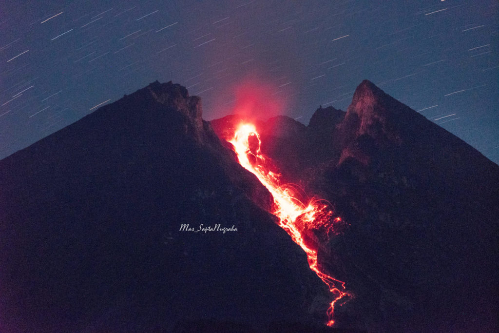
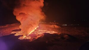
Visual on the incandescent lava of Mount Merapi this Sunday morning January 6, 2019 to 2.51 WIB. The distance from Klangon Hill to the Merapi Peak is only 3.8 km
II. CONCLUSION AND ADVICE
Conclusion
Based on the results of the visual and instrumental observations, it was concluded that:
1. The lava dome is currently in a stable state with a relatively low growth rate.
2. The volcanic activity of Mount Merapi is still quite high and is at the activity level « WASPADA ».
Suggestion:
With Mount Merapi’s Waspada activity level, it is recommended to the Mount Merapi disaster management stakeholders as follows:
• A radius of 3 km around the summit of Mount Merapi must be prohibited from population and climbing activities.
• If there is a significant change in Mount Merapi activity, Mount Merapi activity status will be re-examined.
• When entering the rainy season, people who move around the rivers below Mount Merapi should be aware of the danger of lahars.
• It is recommended that local authorities socialize the current state of Mount Merapi.
Source : Chef du centre de volcanologie et d’atténuation , BPPTKG .
Photo : Sapta Nugraha.
Archipel du Vanuatu , Ambrym :
AMBRYM VOLCANO ALERT BULLETIN No1 issued by the Vanuatu Meteorology and Geohazards Department on 7th January 2019 at 11:12 AM:
Eruptive activity at Ambrym is continuing in the minor eruption state. The Volcanic Alert Level remains at Level 3.
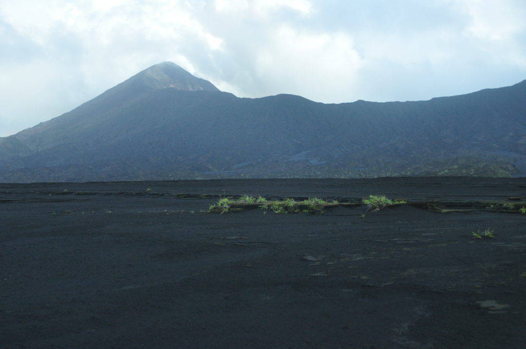
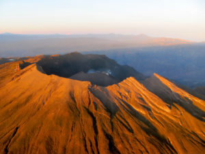
Ambrym volcano is continuing in the minor eruption state. The Danger Zone for life safety remains at the Danger Zone B which is about 2 km around Benbow and 4 km around Marum craters (including Maben-Mbwelesu, Niri-Mbwelesu and Mbwelesu) (See Safety Map below). The additional area of risk is within 3 km from major cracks in the South East of Ambrym.
Though people are not feeling strong earthquakes compare to the past few days in December 2018, current observations and analysis of seismic data recorded from the monitoring network confirm an ongoing seismicity. This is related to the current volcano eruption. This seismicity may continue to affect the existing cracks, especially in the South East Ambrym area. Latest satellite imagery analysis confirm ongoing remarquable land deformation on Ambrym island, therefore people from Ambrym and neighboring islands may continue to expect earthquakes, volcanic gases and ashes at any time.
The Alert Level for Ambrym volcano has been at the Level 2 since 7 December 2017. The volcanic activity on 15th December 2018 show that Ambrym volcano is undergoing a small scale eruption. This is consistent with the Alert Level 3 activity. Level 3 indicates ‘Minor eruption; Danger is now at 2 km around Benbow and 4 km around Marum with major cracked areas in the south eastern part of Ambrym’. The possibility that the Ambrym volcano activity escalate to the level of moderate eruption (Level 4) is low for now.
Source : Geohazard Vanuatu.
Italy , Stromboli :
CHRONICLE: Stromboli now begins to scare.
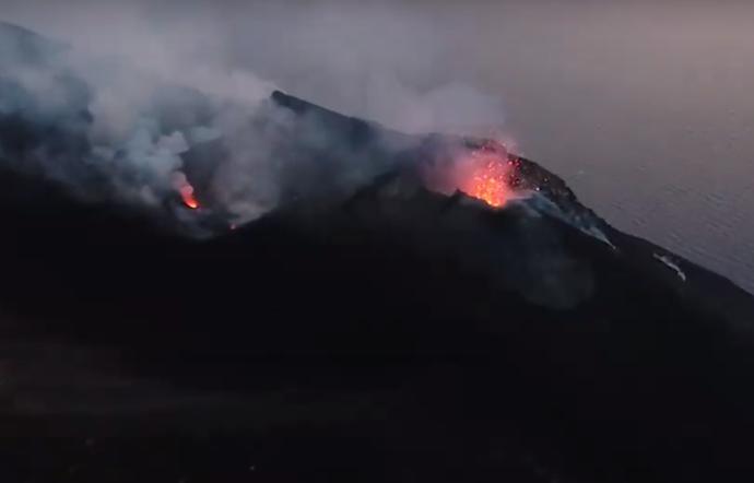
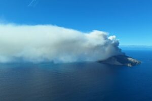
The crater on the island of Stromboli begins to scare due to the intensification of eruptive activity. On the night of January 5 to 6, an earthquake of magnitude M3.6 was also felt on the Tyrrhenian coast, between Stromboli and the Calabrian coast. Stromboli is in an explosive volcanic activity based on lapilli and ash.
On the snow and lapilli of Stromboli: the volcano continues to « crack » 01/06/2019 – 17:04
The eruption of the Aeolian crater is still underway and, due to the ban of the mayor, one must stay out of bounds, below 400 meters.
STROMBOLI (MESSINA) – Continuation of the « Strombolian » activity of the crater, with explosions of incandescent lapilli and even snowflakes. The volcano is guarded by the Ingv of Catania and by the Civil Defense. It is precisely because of the activity that remains intense that the mayor Marco Giorgianni has banned excursions to the top of the crater. Groups can not exceed 400 meters in height. In the night, at 03:54, a magnitude 3.6 earthquake affected the lower Tyrrhenian between Stromboli and Calabria. The hypocenter had a depth of 98.6 km.
Source : Sicily Press. Lasicilia . ( https://www.lasicilia.it/news/messina/213472/sullo-stromboli-neve-e-lapilli-vulcano-continua-a-scoppiettare.html ).
Papua New Guinea , Manam :
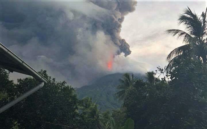
Manam Volcano, Madang Province, continues to erupt.
The Rabaul Volcanological Observatory (RVO) notes that activity increased to 1:55 pm.
The real-time seismic amplitude measurement (RSAM), which indicates the strength and number of earthquakes in a specific period, has passed above 300 / hour. The normal value is around 50 to 100 units / hour. If it passes above 300, an alert is triggered by the automatic registration system and a message is sent to the staff of the RVO. If the value rises above 1000 units, it usually means that the volcano erupts.
In an update issued this morning, the RVO reports that seismicity, consisting of multiple and continuous volcanic tremors has remained at a high level since 4am. « The recorded values remain high, above 1500 to 1600 units.
Reports from Warisi on Manam Island at 7:55 AM confirm the ongoing eruption from the main crater. The lava flows into the Northeast Valley since 4am. Intermittent falls of ashes are recorded since Warisi and Abaria since 06h AM.
The RVO continues to monitor the situation.
Source : LOOP PNG
Photo : Scott Waide.
Peru , Sabancaya :
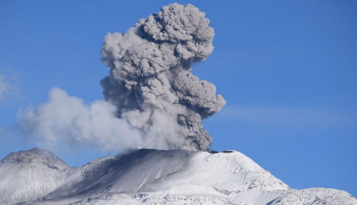
An average of 27 EXP / day was recorded. The activity associated with fluid movement (long period type) continues to predominate. Earthquakes associated with the rise of magma (hybrid types) remain very few and low energy.
The gas columns and eruptive ash reached a maximum height of 3700 m above the crater. The dispersion of these materials occurred within a radius of about 30 km, mainly to the southwest, northwest and west.
The deformation of the surface of the volcanic building does not show any significant changes.
The MIROVA satellite system recorded 2 thermal anomalies, with values between 4 and 7 MW VRP (Radiated Volcano Energy).
In general, eruptive activity maintains moderate levels. No significant changes are expected in the coming days.
Source : IGP.
Photo : Ingemmet.

