November 10 , 2018.
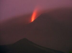
Alaska , Veniaminof :
56°11’52 » N 159°23’35 » W,
Summit Elevation 8225 ft (2507 m)
Current Volcano Alert Level: WATCH
Current Aviation Color Code: ORANGE
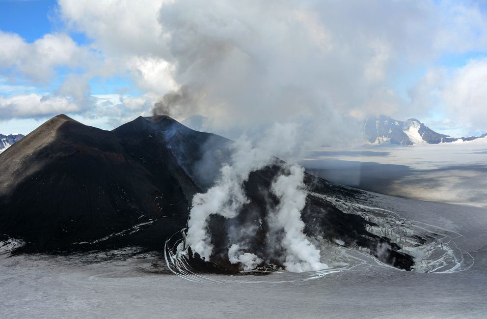
Low-level eruptive activity occurred at the intracaldera cone of Veniaminof volcano throughout the past week, indicated by relatively continuous seismic tremor, as well as by elevated surface temperatures and an eruption plume observed in satellite and web camera images. The eruption is characterized by low-level lava spattering, a lava flow, and variable emissions of steam and volcanic ash up to altitudes of 14,000 ft. Recent satellite observations show that the lava flow extends about 1.2 km (0.75 miles) from the vent. Fractures in the summit ice sheet adjacent to the lava flow are caused by melting. The production of volcanic ash varies over time and is rarely accompanied by a discernible change in seismic activity. Trace ash fallout in local communities is possible under strong wind conditions and increased ash emissions.
Mount Veniaminof volcano is an andesitic stratovolcano with an ice-filled 10-km diameter summit caldera located on the Alaska Peninsula, 775 km (480 mi) southwest of Anchorage and 35 km (22 mi) north of Perryville. Veniaminof is one of the largest (~300 cubic km; 77 cubic mi) and most active volcanic centers in the Aleutian Arc and has erupted at least 13 times in the past 200 years. Recent significant eruptions of the volcano occurred in 1993-95, 2005, and 2013. These were Strombolian eruptions that produced lava fountains and minor emissions of ash and gas from the main intracaldera cone. During the 1993-95 activity, a small lava flow was extruded, and in 2013, five small lava flows effused from the intracaldera cone over about five months. Minor ash-producing explosions occurred nearly annually between 2002 and 2010. Previous historical eruptions have produced ash plumes that reached 20,000 ft above sea level (1939 and 1956) and ash fallout that blanketed areas within about 40 km (25 mi) of the volcano (1939).
Source : AVO
Photo : Waythomas, C. F.
Colombia , Cumbal :
Weekly activity of the volcano Cumbal
The level of activity of the volcano is maintained at the level: LEVEL YELLOW ■ (III): CHANGES IN THE BEHAVIOR OF THE VOLCANIC ACTIVITY
Following the activity of the CUMBAL VOLCANIC COMPLEX, the COLOMBIAN GEOLOGICAL SERVICE (SGC) reports that:
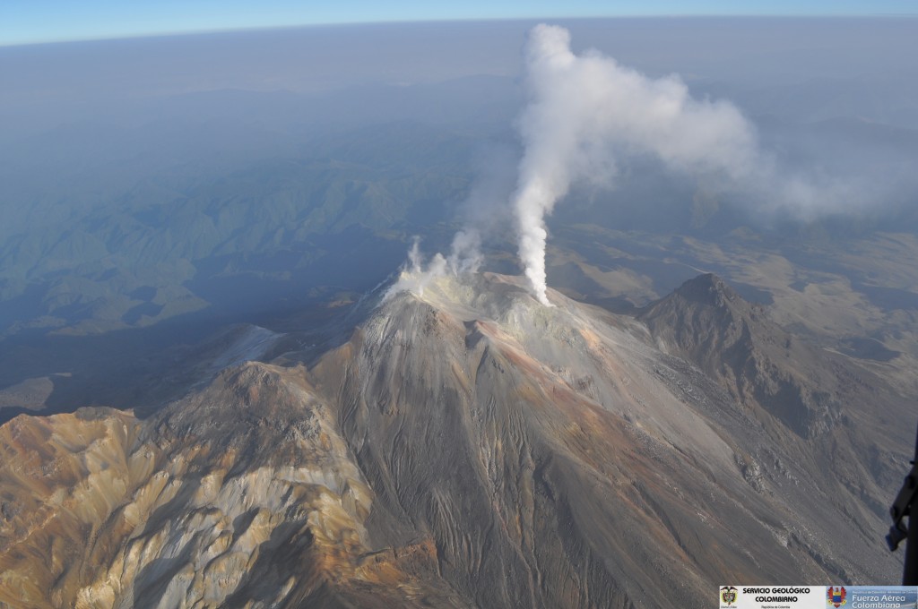
For the period from October 30 to November 5, 2018, the seismic activity maintains low levels of released energy, recording an increase in its occurrence compared to the previous period with the predominance of earthquakes related to the fracturing of rocks at the same time. interior of the volcanic building. These are located near the crater of La Plazuela (north-east of the volcanic complex Cumbal), with depths less than 2 km under the summit (4700 m altitude) and local magnitudes up to 0, 6 on the Richter scale.
It was possible to observe gas emission columns from the El Verde fumarole field (north-east of the Cumbal volcanic complex), white in color, at low pressure and at low height, directed in a dispersed manner according to the direction of the winds.
The COLOMBIAN GEOLOGICAL SERVICE is attentive to the evolution of the volcanic phenomenon and will continue to inform in a timely manner of the detected changes.
Source : SGC
Photo : SGC
Indonésie , Anak Krakatau :
VOLCANO OBSERVATORY NOTICE FOR AVIATION – VONA.
Issued: November 09 , 2018.
Volcano: Anak Krakatau (262000)
Current Aviation Colour Code: ORANGE
Previous Aviation Colour Code: orange
Source: Anak Krakatau Volcano Observatory
Notice Number: 2018KRA49
Volcano Location: S 06 deg 06 min 07 sec E 105 deg 25 min 23 sec
Area: Lampung, Indonesia
Summit Elevation: 1082 FT (338 M)
Volcanic Activity Summary:
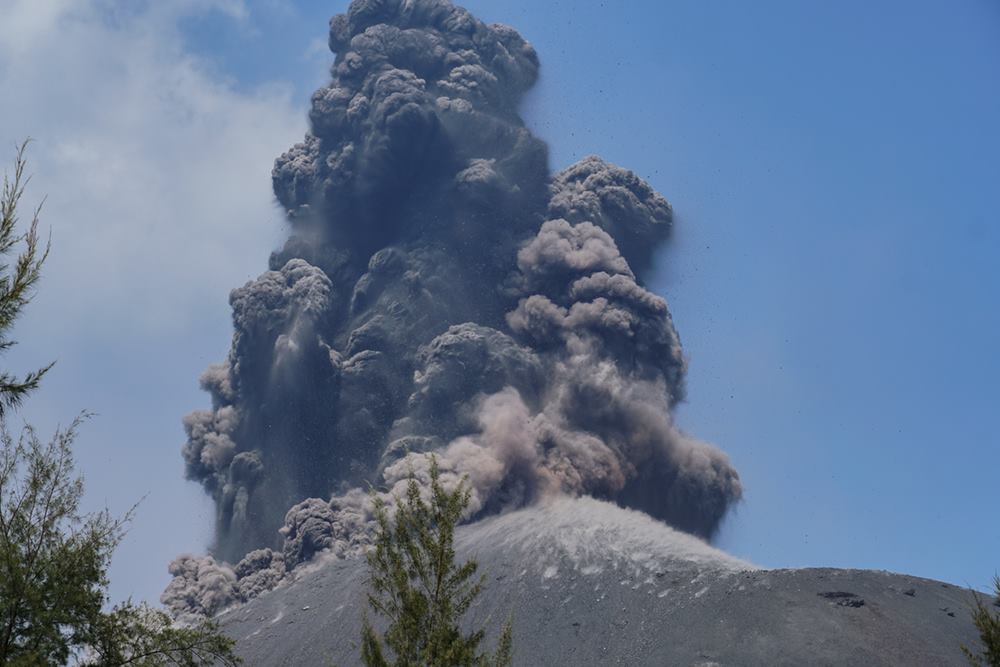
Eruption with ash clouds at 10:17 UTC (17:10 local time). The eruption lasted for 51 seconds. Eruption and ash emission is continuing.
Volcanic Cloud Height:
Best estimate of ash-cloud top is around 2042 FT (638 M) above sea level, may be higher than what can be observed clearly. Source of height data: ground observer.
Other Volcanic Cloud Information:
Ash-cloud moving to north.
Remarks:
Eruption recorded on seismogram with maximum amplitude 58 mm and maximum duration 51 second.
Level II Activity Level (WASPADA). G. Anak Krakatau (338 m altitude) has increased its volcanic activity since June 18, 2018.
Since yesterday and until this morning, the volcano was covered with fog. The smoke from the crater was white, thin and 25 m above the summit. The eruption was observed up to 300-500 m above the peak, gray in color. The wind was blowing weakly to the northeast.
By the recording of seismographs, on November 9, 2018, it was noted:
201 earthquakes of eruption
43 shallow volcanic earthquakes.
3 deep volcanic earthquakes
39 earthquake emission
1 harmonic earthquake
A tremor is recorded continuously with an amplitude between 1 and 32 mm (5 mm dominant value)
Recommendation: People / tourists are not allowed to approach the crater within 2 km.
VONA: The last VONA code, ORANGE, was sent, published November 9, 2018 at 5:15 pm WIB, relating to an eruption with ash column height of approximately 638 m above sea level. sea or about 300 m above the summit. The column of ashes was moving north.
Source : Magma Indonésie , PVMBG.
Photo : Martin Rietze ( www.mrietze.com/ )
Costa Rica , Poas , Rincon de la Vieja , Turrialba :
Daily report on the state of volcanoes. OVSICORI-UNA, Date: 2018-11-09
Updated at: 11:05:00.
Poas Volcano:
No eruptions are reported.
The seismic activity is similar to that of yesterday.
At the time of this report, winds are blowing from the south.
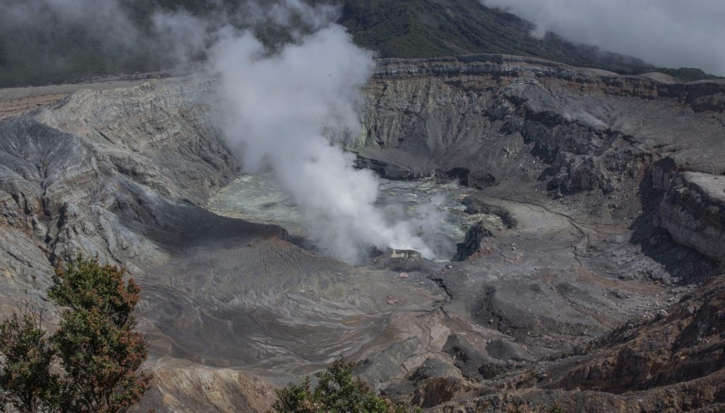
Activity on the Poás volcano remains similar to that of previous days, with the presence of short tremors. From time to time, a little more degassing is observed through the Boca A.
Rincón de la Vieja Volcano:
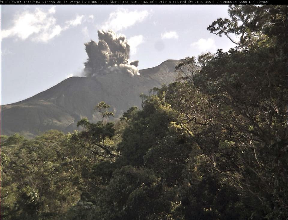
On November 9, 2018, at 17:03, local time, there is an eruption on the volcano Rincon de la Vieja. The height reached by the column is unknown because of the visibility conditions of the site.
Duration of the activity: 2 minutes.
The seismic activity is similar to that of yesterday.
The wind direction is unknown at the moment.
The behavior of the Rincón de la Vieja is similar to that of previous days, where there were small eruptions that were sometimes observed thanks to the webcams located nearby. They are also recorded in the OVSICORI and ICE seismic stations.
Turrialba Volcano:
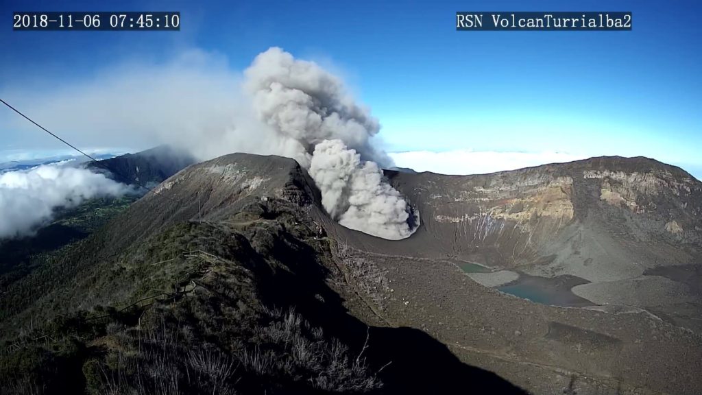
On November 9, 2018, at 00:00 local time, there is an eruption on the Turrialba volcano, with a column that rose 500 meters above the crater height and at 3840 m. (meters above sea level, 12595.2 ft).
Duration of the activity: minutes.
The seismic activity is similar to that of yesterday.
At the time of this report, the winds blow from the northwest.
The eruptions on the Turrialba volcano are continuously maintained, although they are intermittent pulses and generally at low energy. From time to time, more vigorous explosions are also observed which raise the column about 500 meters above the crater. The wind according to the information from the IMN is oriented West-North-West, so the area of the Central Valley continues to receive these ashes. Ash falls are reported in Moravia, Heredia, Coronado, Ip, among others.
Source : Ovsicori
Photos : RSN , Ovsicori ( Rincon , archive ovsicori)

