October 01 , 2018.
La Réunion , Piton de la Fournaise :
Activity Bulletin from Sunday, September 30, 2018 at 3:00 pm (local time).
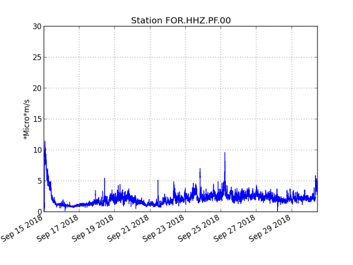
The eruption started on September 15th at 4:25 am local time continues. With the exception of a slight increase over the last two hours, the intensity of the volcanic tremor (an indicator of surface eruptive intensity) has remained relatively stable over the past 24 hours (Figure 1).
Figure 1: Evolution of the RSAM (indicator of the volcanic tremor and the intensity of the eruption) between 04h00 (00h UTC) on September 15th and 15h00 (11h00 UTC) on September 30th on the seismic station FOR, located near the crater Chateau Fort (2000 m altitude on the southeast flank of the terminal cone). (© OVPF / IPGP)
– No volcano-tectonic earthquake was recorded during the day of 29 September or during the current day.
– A subtle rebound in inflation (swelling) of the building, witnessing the influence of a source of pressure at the base of the volcano seems to be emerging, this parameter will be followed in the next few days..
– The surface flows estimated from the satellite data, via the HOTVOLC platform (OPGC – Clermont Auvergne University) were <2 m3 / s over the last 24 hours. Note that the eruptive activity now taking place mainly in lava tunnels, detection of anomalous hot spots are increasingly difficult and therefore these values of underrated flows. In the same way the cloud cover this day on the volcano disrupts the acquisition of these data.
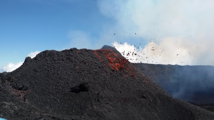
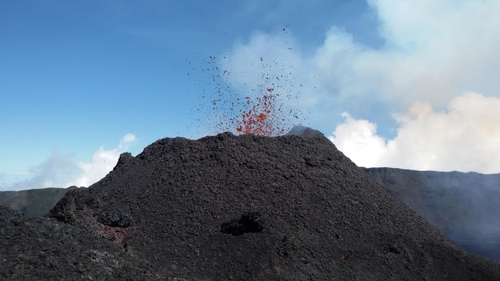
– A team of the OVPF present on the eruptive site yesterday reported low projections (both in intensity and frequency) within the cone (Figures 2 and 3). Most of the flows flow directly from the cone via a main lava tunnel and emerge in resurgences several hundred meters downstream of the cone. Yesterday morning, during the mission of the team of the OVPF, a small flow was also visible at the foot of the cone, but too dangerous access, so only a collection of volcanic bombs could be achieved by the team.
Figure 2: Shooting of the eruptive site on September 29, 2018, around 11:00 local time (© OVPF / IPGP). (© OVPF / IPGP)
Figure 3: Shooting of the eruptive site on September 29, 2018, around 11:00 local time (© OVPF / IPGP). (© OVPF / IPGP)
Alert level: Alert 2-2 – Eruption in the Enclos.
Source : OVPF.
Kamchatka , Karymsky :
VOLCANO OBSERVATORY NOTICE FOR AVIATION (VONA).
Issued: September 30 , 2018.
Volcano:Karymsky (CAVW #300130)
Current aviation colour code: ORANGE
Previous aviation colour code:orange
Source:KVERT
Notice Number:2018-98
Volcano Location:N 54 deg 2 min E 159 deg 26 min
Area:Kamchatka, Russia
Summit Elevation:4874.08 ft (1486 m)
Volcanic Activity Summary:
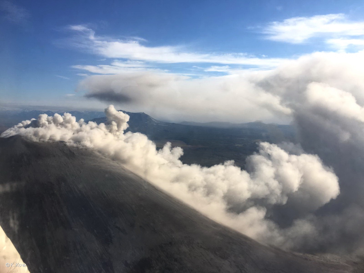
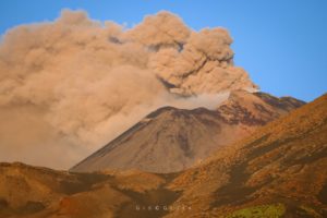
According to satellite data explosions send ash up to 3 km a.s.l., ash plume is drifting to the east-south-east from the volcano.
A moderate eruptive activity of the volcano continues. Ash explosions up to 13,100-19,700 ft (4-6 km) a.s.l. could occur at any time. Ongoing activity could affect low-flying aircrafts.
Ash emission from Karymsky volcano crater continues after explosions which send ash up to 5-6 km a.s.l. at 21:05 UTC on 10 September, 2018.
Volcanic cloud height:
8200-9840 ft (2500-3000 m) AMSL Time and method of ash plume/cloud height determination: 20180930/0054Z – Suomi NPP (14m15)
Other volcanic cloud information:
Distance of ash plume/cloud of the volcano: 72 mi (116 km)
Direction of drift of ash plume/cloud of the volcano: ESE / azimuth 106 deg
Source : Kvert.
Photo : K. Kochi / Kvert
Indonesia , Anak Krakatau :
Level of activity at Level II (WASPADA). G. Krakatau (305 m above sea level) has experienced an increase in volcanic activity since 18 June 2018.
Since yesterday and until this morning, the volcano was visually covered with fog. The winds were weak and oriented towards North and West. The smoke from the crater was not observed.
Thanks to the seismographs of September 30, 2018, it was noted:
11 earthquakes of eruption
A continuous tremor with a maximum amplitude of 10 to 53 mm (dominant value 47 mm).
Recommendations:
People / tourists are not allowed to approach the volcano within a radius of 2 km around the crater.
VONA:
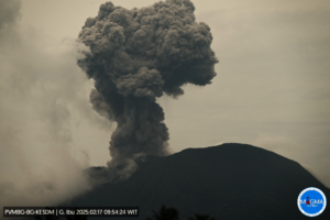
The last VONA bulletin was given the color code ORANGE, published on September 22, 2018 at 6:56, in connection with an eruption with a height of the ash column at about 538 m above sea level or about 200 m at above the peak. The column of ashes was moving South.
Source : PVMBG
Vidéo :Yohannes Tyas Galih Jati.
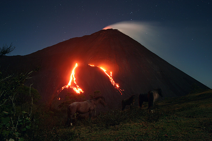
Guatemala , Pacaya :
SPECIAL VOLCANOLOGICAL BULLETIN, Guatemala 29 September 2018, 22.30 (local time)
FLOW OF VOLVO VOLVA PACAYA (1402-11)
Type of activity: Strombolian.
Morphology: Composite stratovolcan
Location: 14 ° 22’50˝ Latitude N; 90 ° 36’00˝ Longitude W.
Height: 2,552msnm.
Today, the Pacaya volcano continues to present two lava flows, normal activities for volcanoes like Strombolian volcano Pacaya. These lava flows reach distances between 300 and 700 meters in length and disperse to Cerro Chino on the southwest flank of the Mackenney cone. They are occasionally accompanied by explosions up to 50 meters above the crater and avalanches near the flows. So far, no rumble or sensitive noise has been reported in the volcanic area or ash in the environment.
The Pacaya during this year manifested the same activity in the same direction, as well as the construction and destruction of the intrac cratic cone that continues to form in the Mackenney crater.
Due to the presence of this activity, the possibility of generating more frequent and recurrent lava flows is not excluded, as well as a new eruptive phase that could start in the next days or months.
Source : Insivumeh
Photo : Inconnu .

