September 07 , 2018.
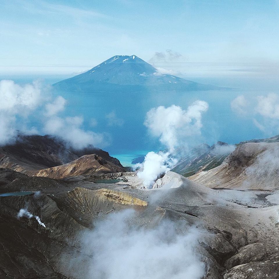
Kamchatka , Ebeko :
50.69 N, 156.01 E;
Elevation 3792 ft (1156 m)
Aviation Colour Code is ORANGE
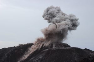
A moderate gas-steam with some amount of ash activity of the volcano continues. Ash explosions up to 19,700 ft (6 km) a.s.l. could occur at any time. Ongoing activity could affect low-flying aircraft and airport of Severo-Kurilsk.
Ebeko volcano, Alaid volcano in the distance
A moderate explosive activity of the volcano continues. According to visual data by volcanologists from Severo-Kurilsk, explosions sent ash up to 4.5 km a.s.l. all week; sometimes an incandescence over the volcano was noting. Satellite data by KVERT showed a thermal anomaly over the volcano on 04-05 September; ash clouds drifted for about 75 km to the northern and southern directions from the volcano on 31 August and 04 September.
Source : Kvert.
Photo : Darin Khokhlova / Sherine France.
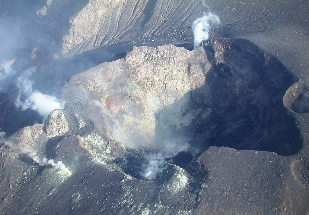
Colombia , Galeras :
The level of activity of the volcano continues at the level: LEVEL YELLOW ■ (III): CHANGES IN THE BEHAVIOR OF THE VOLCANIC ACTIVITY.
Following the activity of the GALERAS volcano, the COLOMBIAN GEOLOGICAL SERVICE informs that:
Between August 28th and September 3rd, 2018, there was an increase in the number and energy of volcanic earthquakes, from 15 to 28 events, with the predominance of earthquakes associated with the fracturing of the volcano rocks. dispersed within the zone of volcanic influence, at distances between 0.2 and 12 km, with depths between 0.6 and 7.7 km from the summit (4200 m) and a maximum local magnitude of M 1.3 on the Richter scale.
With the exception of August 28th and 29th, the weather conditions made it possible to observe gas emissions from the main crater and fumaroles of Las Chavas in the west and Paisita in the north of the active cone with columns of smoke. of white color, low height, low pressure and direction of dispersion variable by the action of the wind.
The other parameters of the geophysical and geochemical type of volcanic monitoring of the Galeras do not record any variations showing a change in the activity level of the volcano.
The COLOMBIAN GEOLOGICAL SERVICE is attentive to the evolution of the volcanic phenomenon and will continue to inform in a timely manner of the observed changes.
Source : SGC.
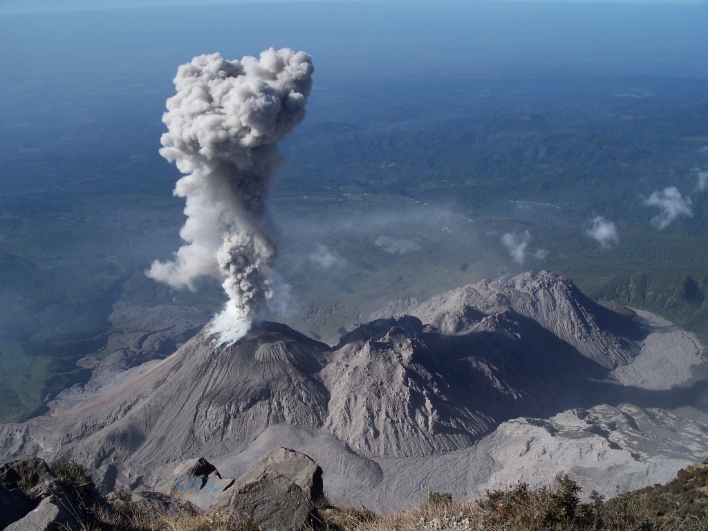
Guatemala , Santiaguito :
Attraction type: Pelean
Morphology: Complex of dacitic domes
Geographical location: 14 ° 44 ’33 ˝ Latitude N; 91 ° 34’13˝ Longitude W.
Height: 2.500msnm
Weather Conditions: Partly Cloudy
Wind: West 4 km / h
Precipitation: 17.5 mm,
Activity:
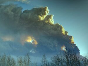
Presence of white degassing fumaroles at an approximate height of 2,900 meters (9514 feet) is dispersed in a southwesterly direction by the action of the winds. Low explosions are reported, generating ash columns at an approximate height of 3,100 meters, moving south-west. Slight and constant avalanches are noted on the South-East dome, in which reddish and gray coloring is observed.
Source : Insivumeh.
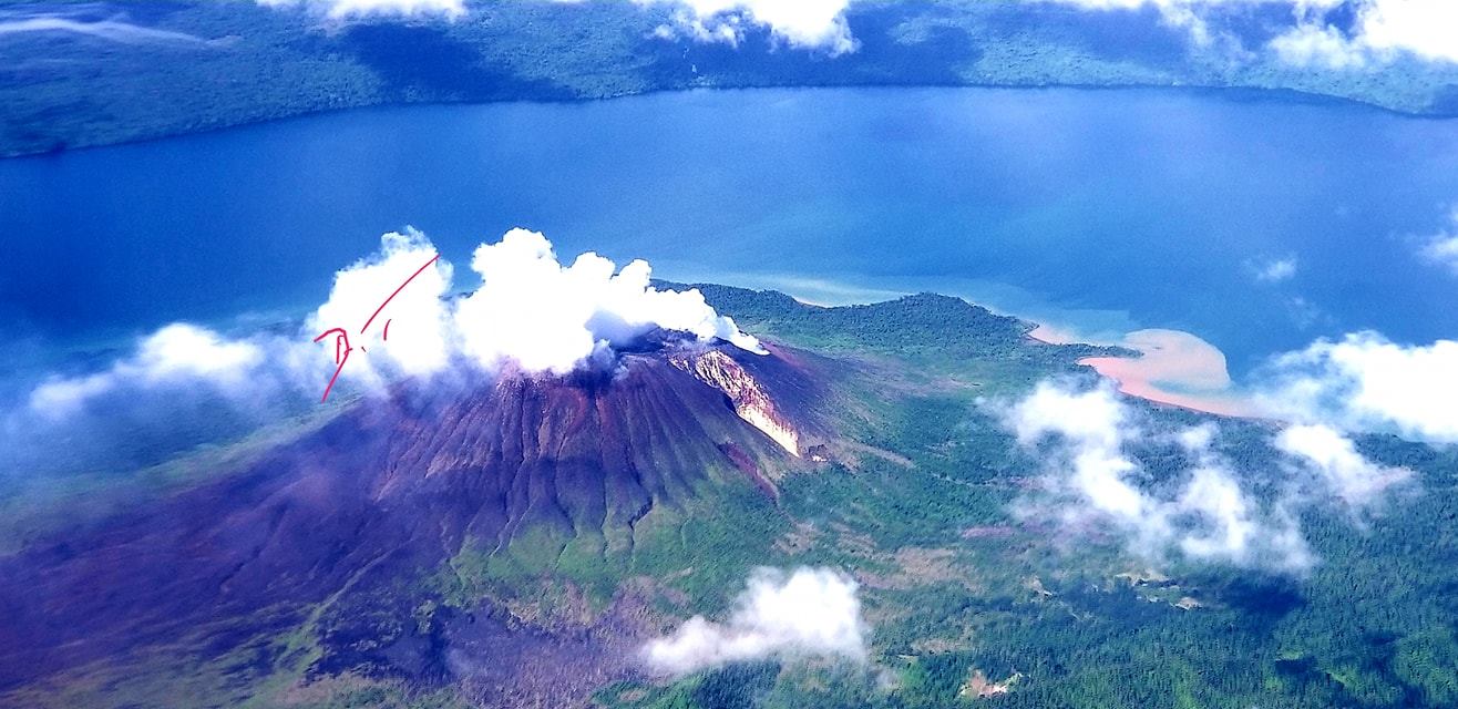
Vanuatu / Gaua Island , Mount Garet :
14°16’0”S 167°30’0”E
Summit 2615ft (797m)
Current Vanuatu Volcano Alert Level: Level 2
Gaua volcano is continuing in the major unrest state. The Volcanic Alert Level remains at Level 2 .
The volcanic unrest continues at Gaua. The volcanic activity is likely to continue at similar levels, consistent with the Volcanic Alert Level 2. The Danger Zone for life safety is limited to on the volcanic cone.
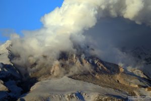
Observations and satellite data in August 2018 confirm a continuous volcanic activity in the level of major unrest state. The activity consists of ongoing volcanic steam cloud which may content volcanic gases. Gas will be continue to be smelt while approaching the volcanic cone.
Alert Level for Gaua volcano has been at Level 2 since 31st January 2018. The current observations are consistent with the Alert Level 2 activity. Level 2 indicates ‘Major Unrest;Danger is around the volcanic cone’ .
Gaua volcano is one of the active volcano in Vanuatu. Construction of the historically active cone of Mount Garet and other small cinder cones in the SW part of the caldera has left a crescent-shaped caldera lake, Lake Letas. The symmetrical, flat-topped Mount Garet cone is topped by three active craters.
All tourism agencies, local authorities, people of Gaua and the general public are reminded not to access the Gaua volcanic cone. In this area volcanic gases will always be expected and other volcano risks could occur at any time in such major unrest state .
The Vanuatu Meteorology and Geohazards Department will continue to closely monitor this volcano activity. More information will be provided when necessary.
Source : Geohazard Vanuatu.
Photo : Dikinson Tevi / Sherine France.
Hawai , Kilauea :
19°25’16 » N 155°17’13 » W,
Summit Elevation 4091 ft (1247 m)
Current Volcano Alert Level: WATCH
Current Aviation Color Code: ORANGE
Kīlauea summit and lower East Rift Zone
On Kīlauea Volcano’s lower East Rift Zone (LERZ), a small amount of incandescence was visible from the fissure 8 cone for a brief period overnight. Small lava flows have been observed within the fissure 8 cone, however none extend outside the walls of the cone. There is no change in overall activity from observations over the past several days.
Seismicity and ground deformation remain low at the summit of Kīlauea Volcano. Earthquakes activity continues on faults located on Kīlauea’s South Flank; these are aftershocks of the magnitude-6.9 earthquake in early May.
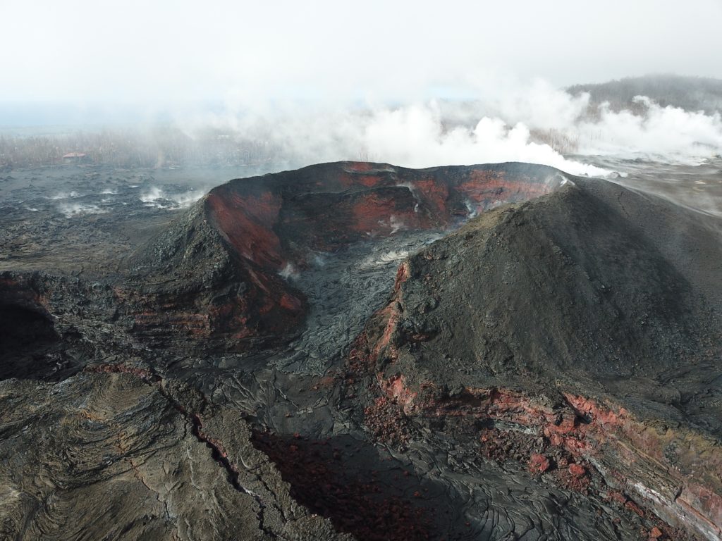
Incandescence from fissure 8 was noted a couple of times overnight, but no spattering or glow was visible during the Unmanned Aircraft Systems overflight around 8:00 a.m. this morning, as shown here. Lava within the fissure 8 crater looked much the same as yesterday, except that the new cone appeared less prominent. Steam in background is due to recent rainfall.
Tiltmeters in Kīlauea’s middle East Rift Zone have recorded small amounts of inflationary tilt, which may be a sign of refilling of the rift zone. The current rates are much smaller than those measured during the period of major eruptive activity and are not changing rapidly.
Sulfur dioxide emission rates at the summit, Puʻu ʻŌʻō, and LERZ are drastically reduced; the combined rate (< 1,000 tonnes/day) is lower than at any time since late 2007. SO2 emission rate measurements from LERZ vents measured on September 5 were below 20 tonnes/day, close to the detection threshold of the measurement technique.
The Hawaiian Volcano Observatory (HVO) continues to closely monitor Kīlauea’s seismicity, deformation, and gas emissions for any sign of reactivation, and maintains visual surveillance of the summit and LERZ. HVO will continue to issue daily updates and additional messages as needed.
Source : HVO

