September 08 , 2024 .
Indonesia , Dukono :
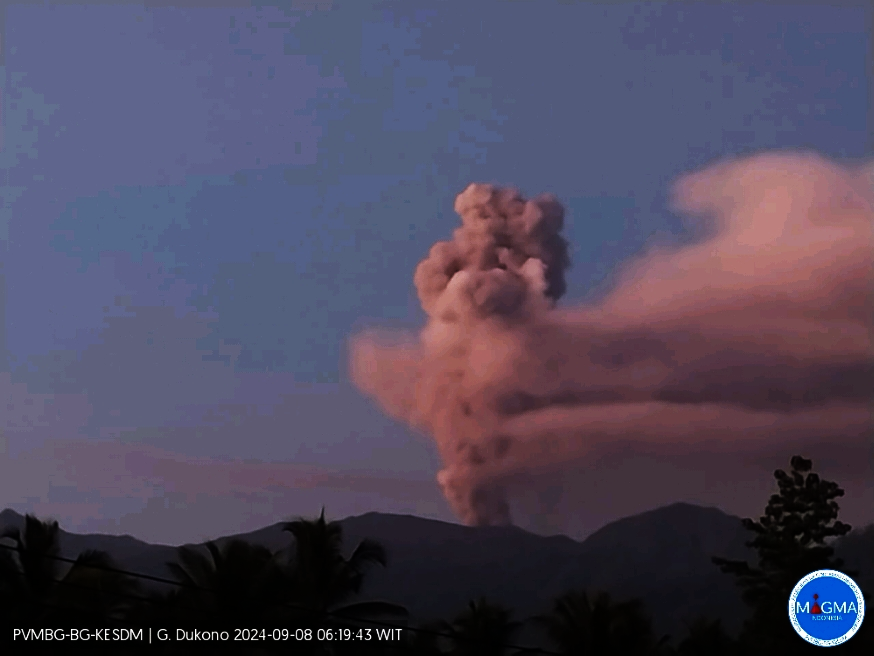
An eruption of Dukono occurred on Sunday, 8 September 2024 at 06:05 WIT with the height of the ash column observed at ±1,200 m above the summit (±2,287 m above sea level). The ash column was observed to be white to grey in colour with a thick intensity, oriented towards the West. At the time of writing, the eruption was still ongoing.
Seismicity Observation:
179 eruption/explosion earthquakes with an amplitude of 7 to 34 mm and a seismic duration of 30.21 to 52.93 seconds.
1 Deep volcanic earthquake with an amplitude of 15 mm, and an earthquake duration of 12.76 seconds.
82 deep tectonic earthquakes with an amplitude of 7 to 34 mm, and an earthquake duration of 60.04 to 104.47 seconds.
1 Continuous tremor with an amplitude of 1 to 6 mm, dominant 2 mm.
Recommendation
(1) People around Mt. Dukono and visitors/tourists are advised not to do any activities, climb or approach the Malupang Warirang Crater within a radius of 3 km.
(2) Since eruptions with volcanic ash occur periodically and the distribution of ash follows the direction and speed of the wind, so the landing area of the ash is not fixed, it is recommended that people around Mount Dukono always carry masks/nose and mouth covers to use when needed to avoid the threat of volcanic ash on the respiratory system.
Source et photo : Magma Indonésie.
Ecuador , Sangay :
DAILY STATE REPORT OF SANGAY VOLCANO , Saturday, September 07, 2024 .
Information Geophysical Institute – EPN.
Surface activity level: High , Surface trend: Descending
Internal activity level: High , Internal trend: No change
Seismicity: From September 06, 2024, 11:00 a.m. to September 07, 2024, 11:00 a.m. :
Seismicity:
Below is the count of seismic events recorded at the reference station
Explosion (EXP): 275
Rainfall / Lahars:
Yesterday afternoon, rain was recorded in the volcano area without generating mud or debris flows. **Heavy rains could remobilize the accumulated materials, generating mud and debris flows that would descend the sides of the volcano and flow into adjacent rivers**.
Emissions / Ash Column:
Due to weather conditions, it was not possible to observe emissions via the surveillance camera system. Furthermore, during this morning, thanks to the GOES-16 satellite system, some discrete emissions were recorded in a Westerly direction and at heights below 600 meters above the crater level. Associated with this activity, the VAAC agency in Washington issued three reports of ash clouds in the West and West-Northwest directions with heights of 600 meters above the crater level.
Gas:
The Mounts satellite system has not recorded any sulfur dioxide (SO2) values in the last 24 hours.
Other monitoring parameters:
The MIROVA-MODIS satellite system has recorded 1 thermal anomaly in the last 24 hours.
Observation:
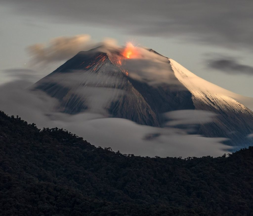
Despite the cloud cover in the area, several episodes of incandescence on the volcano were observed last night thanks to the surveillance cameras. At the time of closing this
report, the volcano remains completely cloudy.
Alert level: yellow
Source : IGEPN
Photo : Robinsky
Kamchatka , Klyuchevskoy :
VOLCANO OBSERVATORY NOTICE FOR AVIATION (VONA)
Issued: September 07 , 2024
Volcano: Klyuchevskoy (CAVW #300260)
Current aviation colour code: GREEN
Previous aviation colour code: yellow
Source: KVERT
Notice Number: 2024-71
Volcano Location: N 56 deg 3 min E 160 deg 38 min
Area: Kamchatka, Russia
Summit Elevation: 4750 m (15580 ft)
Volcanic Activity Summary:
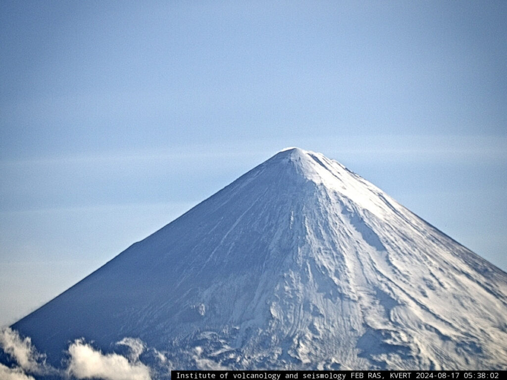
According to visual and satellite data, the Klyuchevskoy volcano is quiet. The seismicity of the volcano is typical for its inter-eruptive activity. KVERT continues monitoring the volcano.
A gas-steam activity of the volcano continues. Ongoing activity could affect low-flying aircraft.
Volcanic cloud height:
NO ASH CLOUD PRODUSED
Other volcanic cloud information:
NO ASH CLOUD PRODUSED
Source : Kvert
Photo : Données vidéo de IVS FEB RAS, KVERT et Weathernews Inc. Date : 17/08/2024
Guatemala , Santiaguito :
Atmospheric conditions: Partly cloudy.
Wind: Southeast.
Precipitation: 94.4.
Activity:
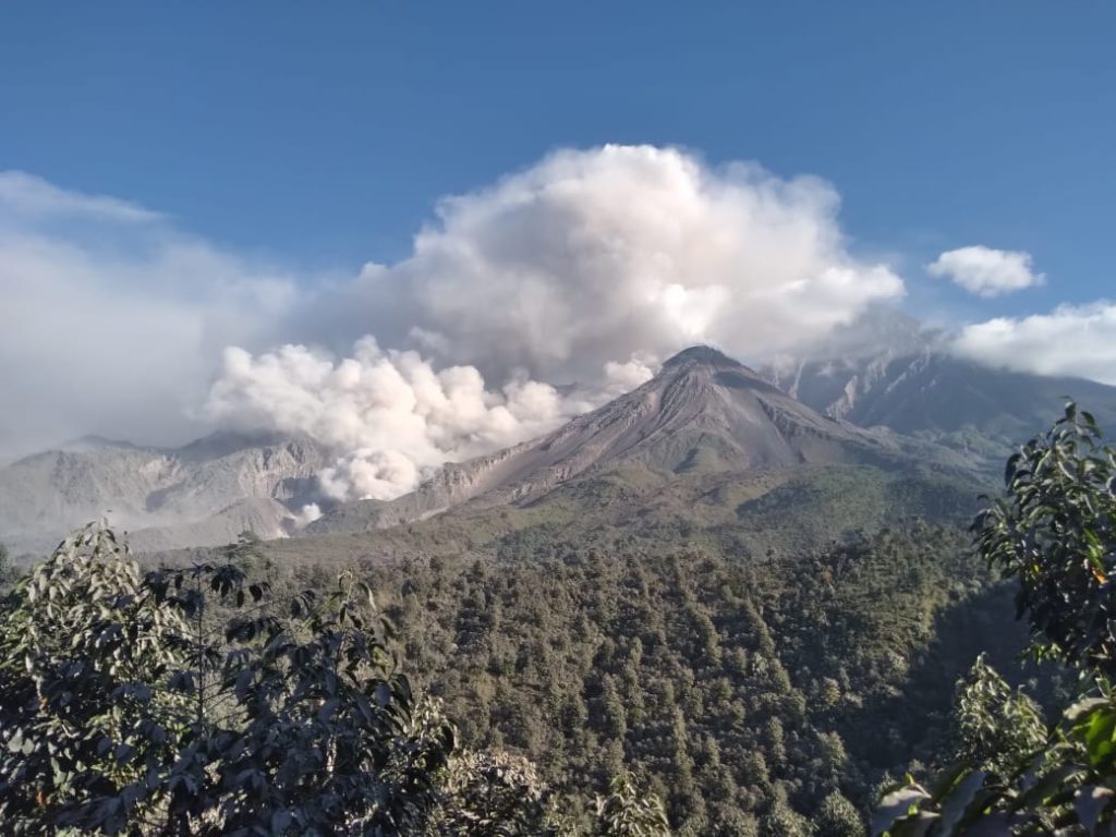
The Santa María-Santiaguito Volcanic Complex Observatory reports volcanic activity on the Caliente Dome. During the night and early morning, the weather was generally cloudy, among the clouds some moderate explosions were observed that raised columns of gas and ash up to 800 meters above the dome, as well as the incandescence of lava extrusion, block avalanches and pyroclastic flows of short distances towards the west, southwest and south flanks, from the dome to the base of the dome.
The stacking of this pyroclastic material on these flanks forms a promontory above the 2022 lava flow that occupies the Zanjón Seco and San Isidro channels. Degassing is constant, with weak to moderate columns of water vapor and other magmatic gases rising 300 to 500 meters above the dome, mixed with cloud cover and moving northwest. In the afternoon and night, rains could cause lahars to descend into the channels that descend from the Caliente dome. Activity remains at a high level, so it is possible that with the explosions or under the effect of gravity, part of the accumulated material will collapse and pyroclastic flows over long distances will be generated towards the southwest, south and southeast.
Source : Insivumeh
Photo : Noticias la Red GT San José del Golfo ( 02/2022).
Costa Rica , Rincon de la Vieja / Poas :
OVSICORI-UNA Weekly Volcanic Monitoring Bulletin, September 6, 2024
Rincón de la Vieja Volcano
Latitude: 10.83°N;
Longitude: 85.34°W;
Altitude: 1916 m
Current activity level: Warning
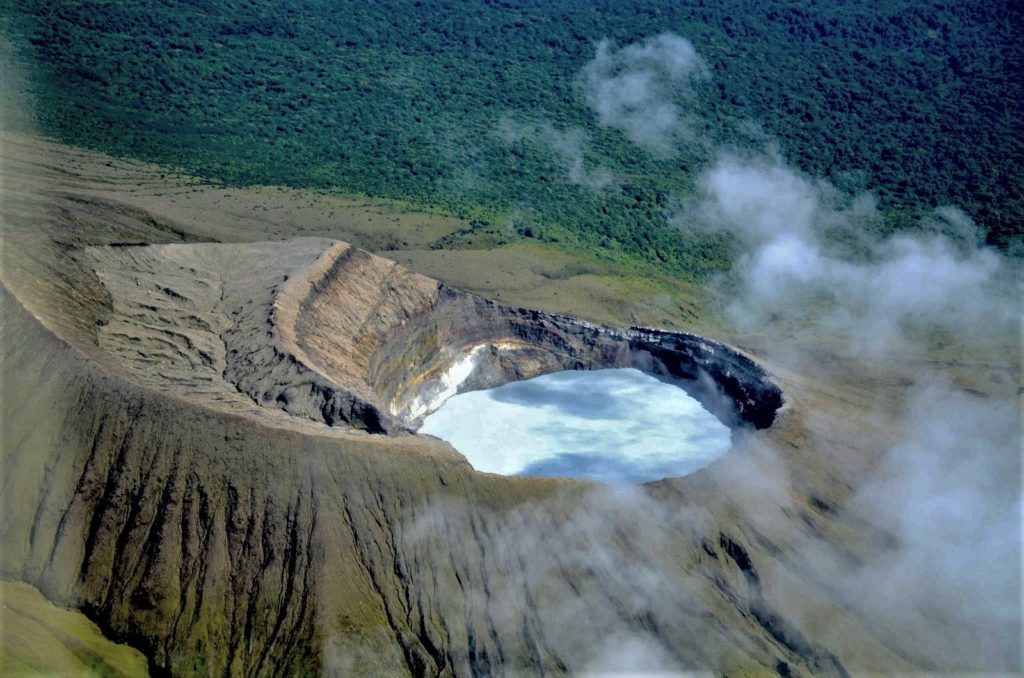
This week, 5 exhalations rich in water vapor, aerosols and volcanic gases were recorded. None of these generated lahars or ash descent. Background tremor showed a slight increase compared to last week, notably on August 31 and September 3. The banded tremor sequence that began on July 25 was intermittent. Yesterday, the most recent banded tremor sequence was observed. These tremors occur mainly when background tremor levels are lower. The sporadic appearance of long-period signals such as « tornillos » type signals persists. The dominant frequency of « tornillos » showed a slight increase in frequency content during this week. When visibility is available, degassing from the crater is quite regular and constant. In recent weeks, no significant deformation of the base of the volcanic edifice has been detected, but a slight subsidence of the summit has been detected. The SO2 plume in the atmosphere has not been detected by the Sentinel-5P satellite since June 29. However, during the previous week, the NOVAC station recorded an increase in the SO2 flow (336 ± 164 t/d) compared to the previous week (260 ± 161 t/d).
Poas Volcano
Latitude: 10.20°N;
Longitude: 84.23°W;
Altitude: 2,687 m
Current activity level: Warning
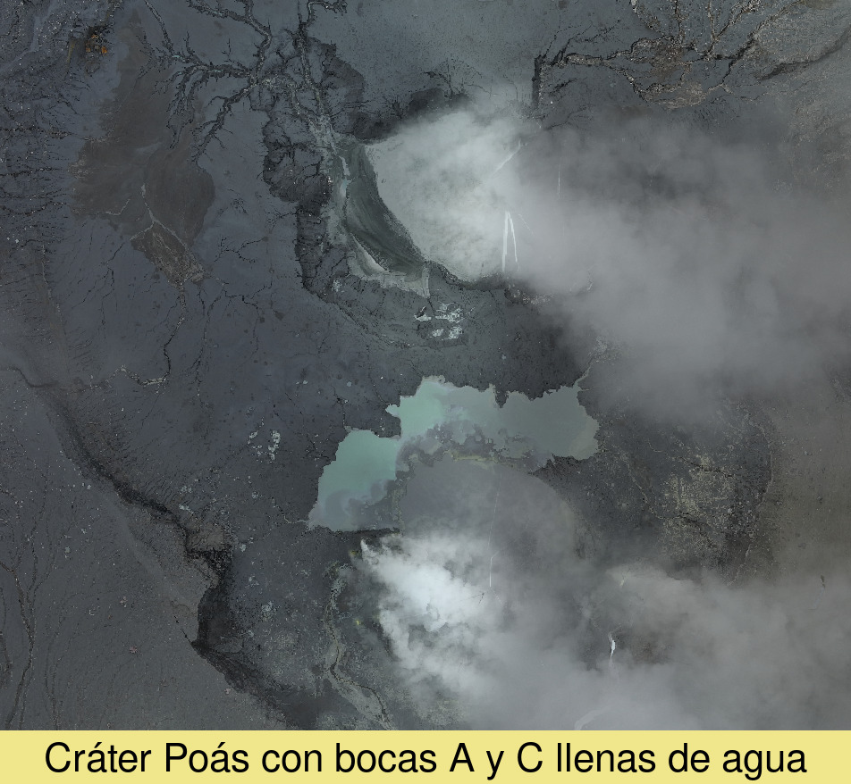
The seismic tremor remains of moderate amplitude. There is slightly more acoustic tremor than in recent weeks. This process is probably related to the degassing of the crater fumaroles. Low-frequency, low-amplitude LP-type seismic events are also recorded. Short, broad-spectrum tremors are recorded, but to a lesser extent than in the previous week. No significant deformation of the volcano is observed. The NOVAC station recorded a decrease in the SO2 flow (158 ± 83 t/d) compared to the previous week (263 ± 90 t/d). The SO2 plume in the atmosphere was detected by the Sentinel-5P satellite on September 5, for the first time since June 20. The 2 lagoons were not connected during the week, in the mouth A the level remained stable with an increase of approx. 0.2 m. In mouth C, the level shows much more significant variations but ends at a level similar to last week (-0.2 m).
Since the end of July, sulfur combustions continue to be observed at night.
Source : Ovsicori
Photos : Federico Chavarría-Kopper – Ovsicori ( 2019 ) , Ovsicori ( 07/2024)

