December 13 , 2024.
Indonesia , Ibu :
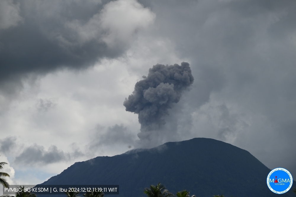
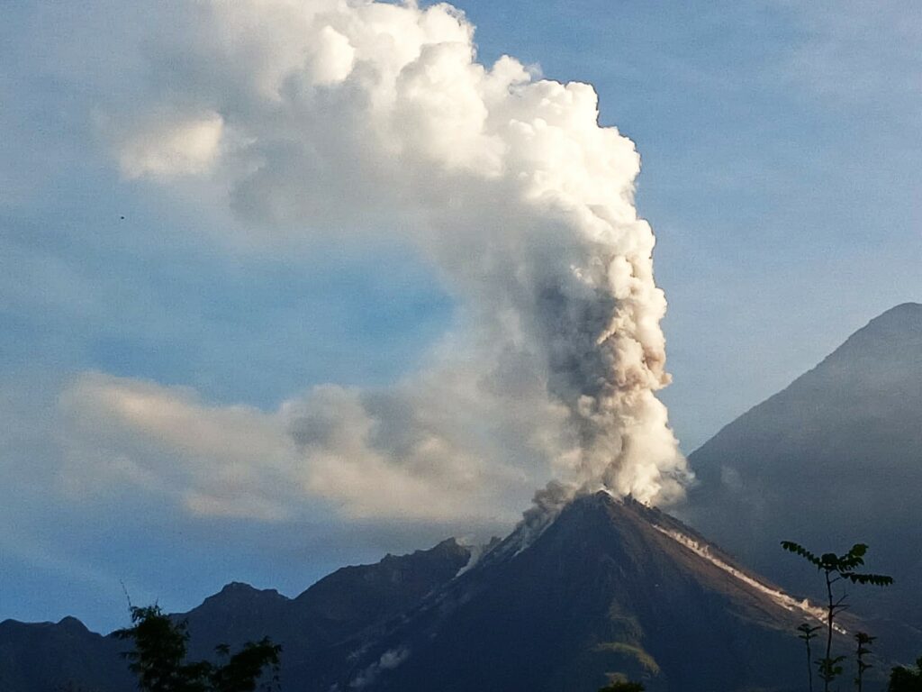
An eruption of Mount Ibu occurred on Thursday, 12 December 2024 at 11:18 WIT with the height of the ash column observed at ± 500 m above the summit (± 1825 m above sea level). The ash column was observed to be grey in colour with a thick intensity, oriented towards the South-West. This eruption was recorded on a seismograph with a maximum amplitude of 28 mm and a duration of 96 seconds.
Seismicity observation:
23 eruption/explosion earthquakes with an amplitude of 21 to 28 mm and a seismic duration of 57 to 85 seconds.
58 emission earthquakes with an amplitude of 2 to 14 mm and an earthquake duration of 20 to 50 seconds.
4 harmonic tremors with an amplitude of 2 to 4 mm and an earthquake duration of 30 to 58 seconds.
109 shallow volcanic earthquakes with an amplitude of 2 to 12 mm and a seismic duration of 4 to 19 seconds.
2 deep volcanic earthquakes with an amplitude of 3-20 mm, and an earthquake duration of 12-22 seconds.
1 Distant tectonic earthquake with an amplitude of 11 mm, and the earthquake lasted for 46 seconds.
Recommendation
1. Communities around Mount Ibu and visitors/tourists are advised not to carry out activities within a radius of 4 km, with a sectoral extension of 5.5 km towards the crater opening in the northern part of the active crater of Mount Ibu.
2. In the event of ashfall, people carrying out activities outside the house are advised to protect their nose, mouth (mask) and eyes (goggles).
Source et photo : Magma indonésie.
Chile , Hudson :
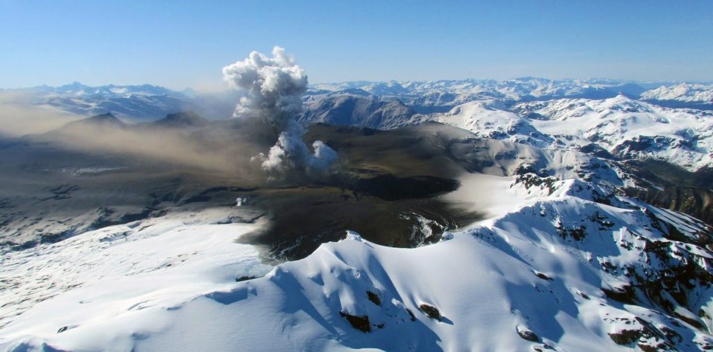
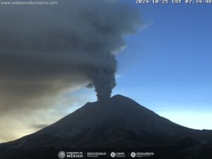
Special Report on Volcanic Activity (REAV), Aysen Del General Carlos Ibanez Del Campo region, Hudson Volcano, December 12, 2024, 03:40 local time (continental Chile).
The National Geology and Mining Service of Chile (Sernageomin) publishes the following PRELIMINARY information, obtained through the monitoring equipment of the National Volcanic Monitoring Network (RNVV), processed and analyzed at the Southern Andean Volcanological Observatory (Ovdas):
On Thursday, December 12, 2024, at 03:14 local time (06:14 UTC), the monitoring stations installed in the vicinity of the Hudson Volcano recorded an earthquake associated with both rock fracturing and fluid dynamics within the volcanic system (hybrid type).
The characteristics of this earthquake after its analysis are as follows:
TIME OF ORIGIN: 03:14 local time (06:14 UTC)
LATITUDE: 45.907° S
LONGITUDE: 72.952° West
DEPTH: 7.5 km
LOCAL MAGNITUDE: 2.8 ML
REDUCED DISPLACEMENT: 987.6 cm2
OBSERVATIONS:
Both before and after this event, other earthquakes of fracture of rigid materials (VT) have been recorded, all of low energy.
The volcanic technical alert remains at the Green level.
Sources : Sernageomin.
Photo : Clarin ( 02/2023)
Colombia , Chiles / Cerro Negro :
San Juan de Pasto, December 10, 2024, 5:00 p.m.
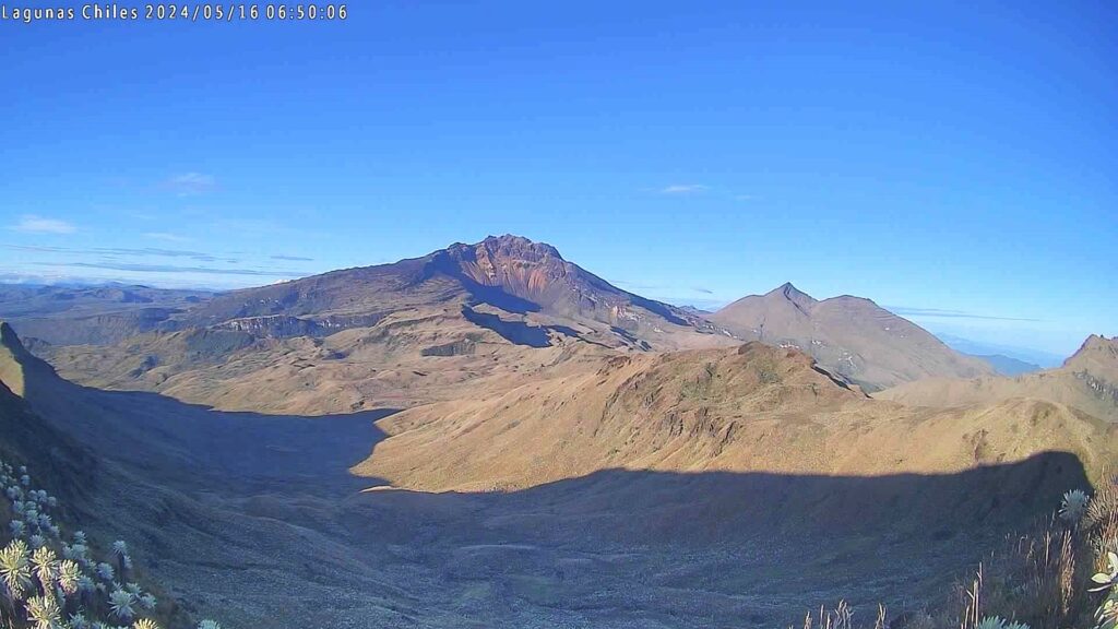
From the monitoring of the activity of the Chiles and Cerro Negro volcanoes, the Colombian Geological Survey (SGC), an entity attached to the Ministry of Mines and Energy, reports that:
During the week of December 3 to 9, 2024, the activity of the volcanoes showed stable behavior. Compared to the previous week, the main variations in the monitored parameters were:
• The frequency of earthquakes remained at similar levels, although the seismic energy released showed a slight decrease.
• The predominance of seismicity due to the fracturing of rocks inside the volcanic edifice was maintained, although the recording of earthquakes associated with the movement of fluids inside the volcano was also maintained.
• Regarding the locations of the earthquakes, seismicity predominated in the area of the collapse of the Chiles volcano, which extends from its summit to approximately 2 km in a northerly direction. In this area, earthquakes with a maximum magnitude of 0.3 and a depth of between 2 and 4 km from the summit (4,700 m above sea level) were located. Other events were located to the south-southeast of the Chiles volcano with distances between 0.6 and 1.3 km and depths between 4 and 6 km, with a maximum magnitude of 1.1. The highest magnitude event this week was 1.6 and was located approximately 11 km from the Chiles volcano, at a depth of 9.5 km.
• Instruments that record cortical deformation and remote satellite sensors continue to show changes related to an inflationary process in the volcanic area.
Based on the above, the SGC recommends to closely monitor the evolution through the weekly bulletins and other information published through our official channels, as well as the instructions of the local and departmental authorities and the National Unit for Disaster Risk Management (UNGRD).
Volcanic activity remains in yellow alert status: active volcano with changes in the behavior of the base level of the monitored parameters and other manifestations.
Source et photo : SGC
Peru , Sabancaya :
Analysis period: from December 2, 2024 to December 9, 2024, Arequipa, December 10, 2024
Alert level: ORANGE
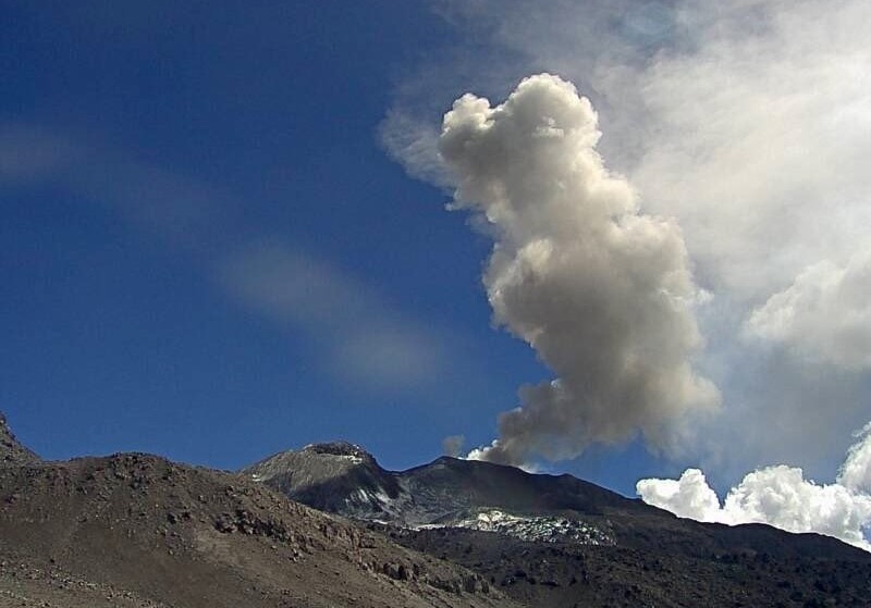
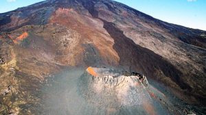
The Geophysical Institute of Peru (IGP) reports that the eruptive activity of the Sabancaya volcano continues. During this period, an average of 7 explosions per day have been recorded, with columns of ash and gas up to 1600 m above sea level above the summit of the volcano. Therefore, the volcanic alert level remains at ORANGE
The IGP has recorded and analyzed the occurrence of 270 earthquakes of volcanic origin, associated with the circulation of magmatic fluids inside the Sabancaya volcano, as well as earthquakes related to rock fracturing. An average of 7 explosions per day have been recorded.
Columns of ash and gas were observed up to 1600 m above sea level above the summit of the volcano. The predominant direction of these emissions was towards the West and North-West sector of the volcano over a distance of less than 10 KM.
No significant inflation process was detected in the volcano sector.
Satellite recordings identified the presence of 3 thermal anomalies, with a maximum value of 1 MW, associated with the presence of a lava body on the surface of the volcano crater.
Moderate emissions (379 tons/day) of sulfur dioxide (SO2) were observed
RECOMMENDATIONS
• Keep the orange volcanic alert level.
• Do not approach within a radius of less than 12 km of the crater.
Source : Cenvul
Photo : Ingemmet .
Guatemala , Santiaguito :
Atmospheric conditions: Cloudy.
Wind: Northeast.
Precipitation: 0.0 mm.
Activity:
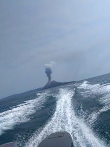
The Santa María-Santiaguito Volcanic Complex Observatory reports cloudy conditions that, since last night, prevent the observation of volcanic activity on the Caliente Dome, which consists of weak degassing, as well as weak to moderate explosions that occur at a rate of 1 to 4 per hour. These raise columns of gas and ash up to 700 meters high above the Caliente Dome. In the early morning, the noises produced by the descent of avalanches of lava blocks were heard, mainly on the southwest flank towards the base of the dome.
The stacking of these materials on the west and southwest flanks has formed a promontory above the 2022 lava flow that occupies the Zanjón Seco and San Isidro channels. The wind is expected to be westerly during the day, so a small ash fall could occur on communities such as Loma Linda, Nuevo Colón, San Marcos Palajunoj and San Antonio Buena Vista, all located in the municipality of El Palmar, Quetzaltenango. The activity remains at a high level, so there remains the possibility that with the explosions or under the effect of gravity, part of the accumulated material will collapse and pyroclastic flows over long distances will be generated towards the southwest, south and southeast.
Source : Insivumeh.
Photo : Conred ( 10/2024).

