November 29 , 2024 .
Iceland : Rekjanes Peninsula :
Steady Activity from the Eruption Over the Last 24 Hours
Calm Weather is Expected Tonight; Gas Pollution May be Noticed Across Reykjanes
Updated 28. November at 15:50 UTC
Lava is flowing mostly east and southeast
Activity remains steady, with the eruption continuing from a single vent
A significant decrease in the rate of subsidence around Svartsengi has been observed
Gas pollution is drifting southwest towards Grindavík.
Eruptive activity has been steady over the last 24 hours, with lava now flowing predominantly east and southeast, towards and along the base of Fagradalsfjall. The lava field near Fagradalsfjall has expanded slightly but continues to thicken. Volcanic tremor has remained stable alongside eruptive activity in the vent. The rate of subsidence around Svartsengi has significantly reduced. However, because daily changes are minor, the trend of deformation measurements must be monitored over the next several days to determine whether uplift has resumed.
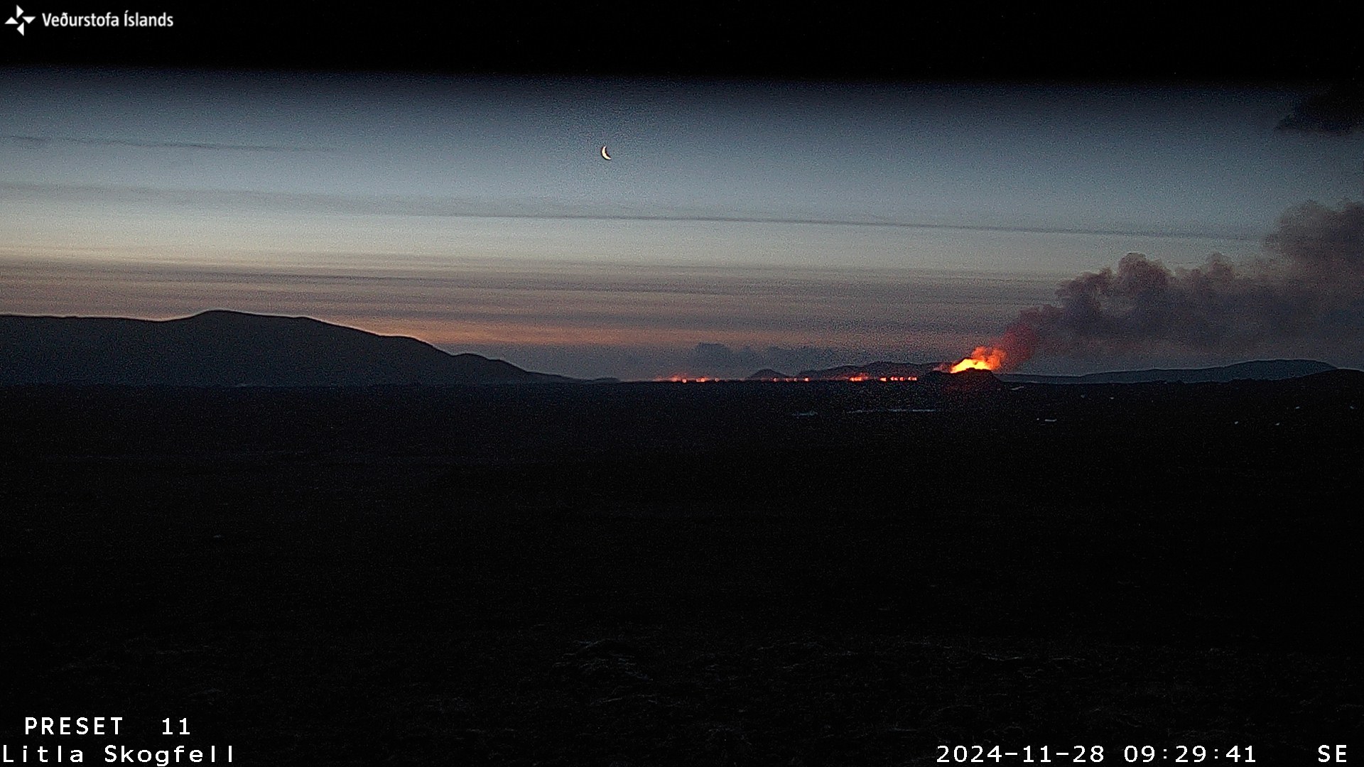
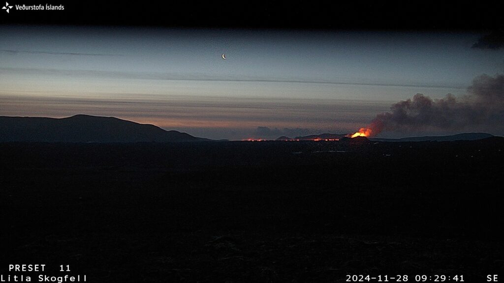
Photo captured this morning by a webcam at Litla-Skógfell. The camera faces southeast, showing the active vent on the right and the lava flow moving toward Fagradalsfjall on the left.
Northeasterly winds of 10-15 m/s are expected in Reykjanes today (Thursday), directing gas pollution southwest toward Grindavík. Winds are expected to calm this evening, increasing the likelihood of pollution being noticed widely across Reykjanes. Northeasterly winds will strengthen again tomorrow (Friday), with gas once more drifting toward Grindavík. No wildfires are anticipated in the eruption area.
Source et photo : IMO
Indonesia , Ibu :
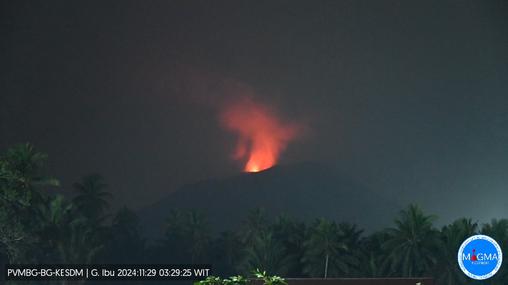
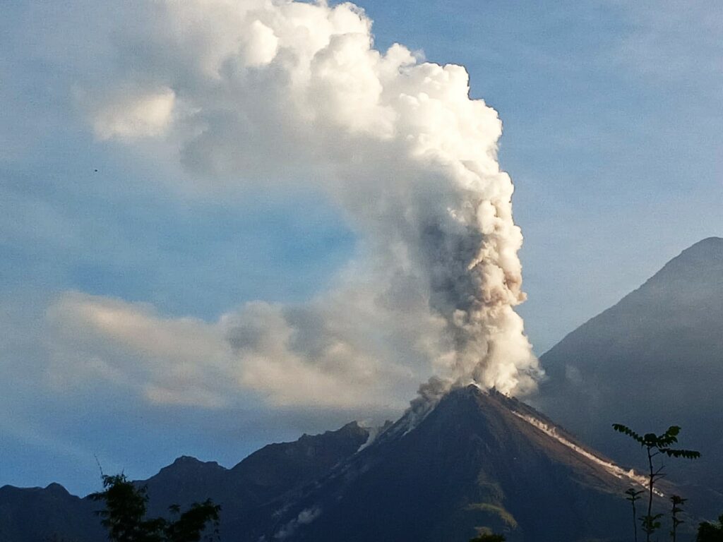
An eruption of Mount Ibu occurred on Friday, 29 November 2024 at 03:25 WIT with the height of the ash column observed at ±800 m above the summit (±2,125 m above sea level). The ash column was observed to be grey with a thick intensity, oriented towards the North. This eruption was recorded on a seismograph with a maximum amplitude of 28 mm and a duration of 60 seconds.
VOLCANO OBSERVATORY NOTICE FOR AVIATION – VONA
Issued : November 29 , 2024
Volcano : Ibu (268030)
Current Aviation Colour Code : ORANGE
Previous Aviation Colour Code : orange
Source : Ibu Volcano Observatory
Notice Number : 2024IBU1206
Volcano Location : N 01 deg 29 min 17 sec E 127 deg 37 min 48 sec
Area : North Maluku, Indonesia
Summit Elevation : 4240 FT (1325 M)
Volcanic Activity Summary :
Eruption with volcanic ash cloud at 18h25 UTC (03h25 local).
Volcanic Cloud Height :
Best estimate of ash-cloud top is around 6800 FT (2125 M) above sea level or 2560 FT (800 M) above summit. May be higher than what can be observed clearly. Source of height data: ground observer.
Other Volcanic Cloud Information :
Ash cloud moving to north. Volcanic ash is observed to be gray. The intensity of volcanic ash is observed to be thick.
Remarks :
Eruption recorded on seismogram with maximum amplitude 28 mm and maximum duration 60 second.
Source et photo : Magma Indonésie
Colombia , Puracé – Los Coconucos volcanic Chain :
Popayán, November 26, 2024, 4:00 p.m.
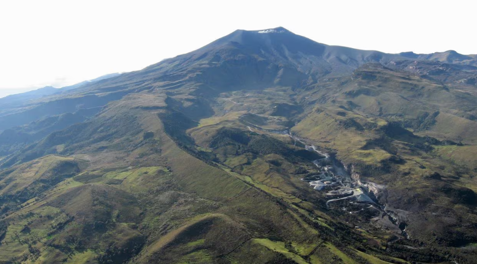
From the monitoring of the activity of the Puracé volcano – Los Coconucos volcanic chain, the Colombian Geological Survey (SGC), an entity attached to the Ministry of Mines and Energy, reports that:
During the week of November 19 to 25, 2024, seismic activity showed a significant decrease in the number of events, mainly those related to the transit of fluids in the volcano. This seismicity presented low energy levels, similar to those observed in previous weeks, and was located mainly under the formation of the Puracé volcano, at depths of less than 2 km, and to a lesser extent under the Curiquinga volcano, at a depth of 6 km. Most of the seismicity related to rock fracturing (VT type) was concentrated near the crater of the Puracé volcano and towards the northeast of it, with depths of up to 3 km.
Regarding deformations, volcanic gas monitoring, electromagnetic fields and acoustic sensors, no significant variations were observed. For its part, in the images captured by the installed webcams, it was observed that high degassing was maintained in the fumarole fields.
Based on the above, the SGC recommends carefully monitoring the evolution of volcanic activity through weekly bulletins and other information published in the
official channels, as well as complying with the instructions of local and departmental authorities and the National Disaster Risk Management Unit (UNGRD).
The alert status for volcanic activity remains in yellow alert status: active volcano with changes in the behavior of the base level of the monitored parameters and other manifestations.
Source et photo : SGC
Guatemala , Santiaguito :
Atmospheric conditions: Clear
Wind: Northeast.
Precipitation: 0.0 mm.
Activity:
Weak and sparse degassing is observed over the Caliente dome, with increasing pulses that form a gas column up to 400 meters high. Weak to moderate explosions are also recorded, causing incandescence, a gas and ash column up to 3,500 meters above sea level (10,498 feet) as well as avalanches in southeast and southwest directions. This activity produces ash clouds that can be dispersed 30 to 50 km to the west and southwest, which can generate fine ashfall on farms and communities near the volcano, such as El Palmar and Loma Linda.
Strong avalanches and audible noises are possible several kilometers from the volcanic edifice. The occurrence of moderate to strong block and ash flows is not excluded, as well as possible pyroclastic flows over long distances in different directions. In this case, the recommendations of the special bulletin BESAN-004-2024 should be followed.
Source : Insivumeh.
Photo : Conred ( 10/2024).
Mexico , Popocatepetl :
November 28, 11:00 (November 28, 17:00 GMT)
Activity of the last 24 hours
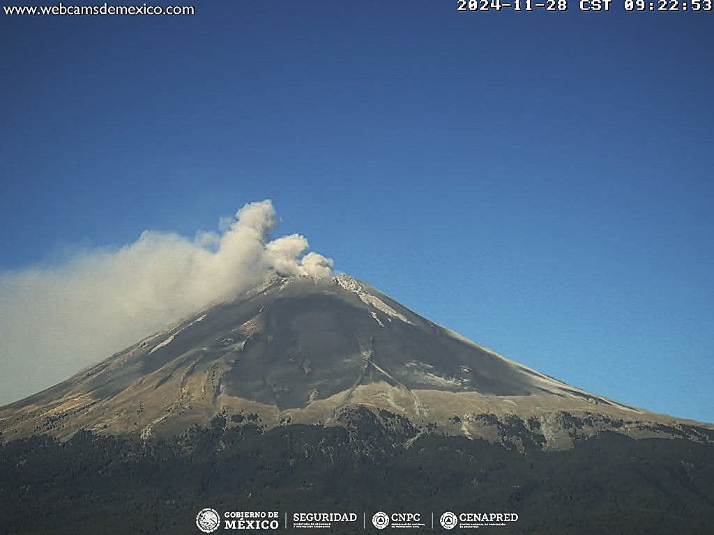
16 exhalations were detected, accompanied by water vapor, volcanic gases and light amounts of ash, as well as 535 minutes of high-frequency, low-amplitude tremors.
Yesterday, the National Center for Communication and Civil Protection Operations (CENACOM) reported light ash falls in the municipalities of Hueyapan, Xochitlán, Tetela del Volcán and Ayala, belonging to the state of Morelos.
During the morning and at the time of this report, a continuous emission of water vapor, volcanic gases and ash was observed, with dispersion towards the Southwest.
Sulfur dioxide emissions:
2,603.0 tons per day. Last reading: October 10, 2024. Maximum recorded value: 70200.0 [t/day]
Maximum (December 2000)
The Popocatépetl volcanic fire alert is in yellow phase 2.
The scenarios predicted for this phase are:
A few small to moderate explosions
Occurrence of tremors of varying amplitude
Light to moderate ash rains in the surrounding towns and in some more distant towns
Ejection of incandescent fragments within the 12-kilometer exclusion radius
The occurrence of lahars can be expected to descend into the ravines, due to the accumulation of ash on the slopes and its interaction with the rains expected in the coming weeks.
Possibility of pyroclastic flows not reaching the populations
Source et photo : Cemapred.

