February 18 , 2019 .
La Réunion , Piton de la Fournaise :
Activity bulletin from Monday, February 18, 2019 to 09:30 (local time).
Since 09:16 local time, a new seismic crisis is recorded on the instruments of the Volcanological Observatory of Piton de la Fournaise. This seismic crisis is accompanied by rapid deformation. This indicates that the magma is leaving the magma reservoir and is spreading to the surface. An eruption is likely in the near future in the next minutes or hours. Further information will follow regarding the area impacted by this magmatic spread to the surface.
Alert level: Alert 1.
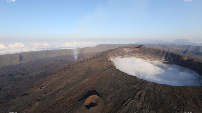
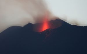
It is done ! According to our information, the Piton de la Fournaise erupted in the middle of the morning Monday, February 18, 2019. Since 09h16, the apparatus of the volcanological observatory of the Piton de la Fournaise (OVPF) began to record a new major seismic crisis . « This seismic crisis is always accompanied by rapid deformation, which indicates that the magma is leaving the magma reservoir and is spreading to the surface, » say the volcanologists. « An eruption is likely in the near future in the next few minutes or hours, and further information will follow regarding the area impacted by this magmatic spread to the surface ». the scientists added. The volcano woke up a few minutes later. This is the first eruption of the year.
In 2018 the Piton de la Fournaise erupted four times. The last occurred on Saturday, September 15, 2018. It lasted until November 1, 2018.
Activity Bulletin from Monday, February 18, 2019 at 10:00 am (local time)
Following the seismic crisis started at 9:16 am local time, the volcanic tremor synonymous with the arrival of magma close to the surface is recorded since 09:48 local time. Data analysis and plume observations from our cameras show that eruptive fissure (s) opened in the crater area of Dolomieu, North North-East at a high altitude for now.
Alert level: Eruption in progress
Source : OVPF , IPreunion
Kamchatka , Karymsky :
VOLCANO OBSERVATORY NOTICE FOR AVIATION (VONA).
Issued: February 18 , 2019
Volcano:Karymsky (CAVW #300130)
Current aviation colour code:ORANGE
Previous aviation colour code:orange
Source:KVERT
Notice Number:2019-36
Volcano Location:N 54 deg 2 min E 159 deg 26 min
Area:Kamchatka, Russia
Summit Elevation:
4874.08 ft (1486 m)
Volcanic Activity Summary:
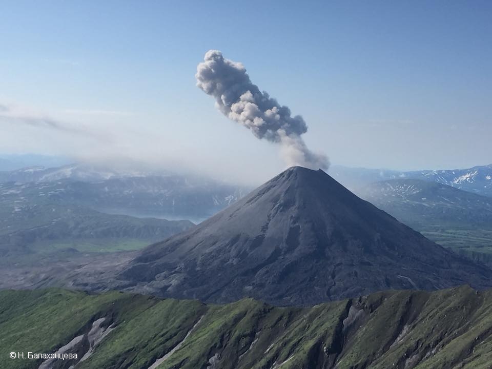
Satellite data shows a weak ash plume extending about 117 km to the east-south-east from Karymsky volcano.
A moderate eruptive activity of the volcano continues. Ash explosions up to 13,100-19,700 ft (4-6 km) a.s.l. could occur at any time. Ongoing activity could affect low-flying aircrafts.
Volcanic cloud height:
8200-9840 ft (2500-3000 m) AMSL Time and method of ash plume/cloud height determination: 20190218/0059Z – MODIS TERRA (31m32)
Other volcanic cloud information:
Distance of ash plume/cloud of the volcano: 73 mi (117 km)
Direction of drift of ash plume/cloud of the volcano: ESE / azimuth 102 deg
Time and method of ash plume/cloud determination: 20190218/0059Z – MODIS TERRA (31m32)
Source : Kvert
Photo : N. Balakhontseva , 28/7/2018.
Mexico , Popocatepetl :
February 17, 11:00 am (February 17, 17:00 GMT)
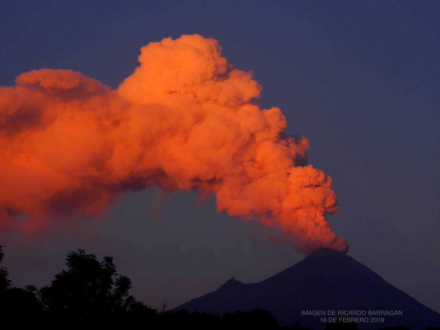
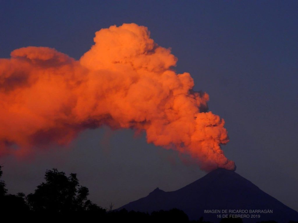
During the last 24 hours, thanks to the surveillance systems of the Popocatépetl volcano, 33 exhalations have been identified, accompanied by steam and gas. In addition, there were 11 explosions, the most important of which occurred today at 04:38, 04:57, 07:19, 08:21 and 09:56. In all cases, the height of the column was maintained between 1.5 and 2 km, preferably in a north-north-east direction.
At 22:30, a VT type event (volcano-tectonics) of a preliminary magnitude of M2 occurred.
In addition, starting at 16:00, an episode of harmonic tremor accompanied by emission of water vapor and other gases that dispersed in a north-east direction began, the height of the column was at least 1.5 km. At approximately 18:30, in addition to the constant emission of gas, incandescent fragments fell on the flanks of the volcano, at a close distance, about 400 m. The height of the column reached at least 2 km, which was dispersed in the direction North-North-East. This episode ended at 10 pm
Finally, during the morning, another episode of harmonic tremor of average amplitude began at 02:00 and persists until now. In total, 700 minutes were counted. It is also accompanied by a constant emission of water vapor and other gases preferably dispersed in a north-north-east direction, the height of the column was maintained between 1 and 1.5 km.
This type of activity is considered in phase 2 of the Yellow Volcanic Warning Level. Any changes will be reported as soon as possible.
CENAPRED urges NOT to approach the volcano and in particular the crater, because of the risk of falling ballistic fragments, and in case of heavy rains to stay away from gully bottoms due to the risk of landslides and mudslides mud.
The Popocatepetl warning light is located at Amarillo Phase 2.
Source : Cenapred .
Photo : Ricardo Barragan
Alaska , Cleveland :
52°49’20 » N 169°56’42 » W,
Summit Elevation 5676 ft (1730 m)
Current Volcano Alert Level: WATCH
Current Aviation Color Code: ORANGE
Elevated surface temperatures observed in one satellite image of Cleveland Volcano over the past day, but observations were limited by cloud cover. No activity was detected in regional seismic or infrasound data.
The most recent explosion of Cleveland Volcano occurred on January 9, 2019. Cleveland explosions are normally short duration and only present a hazard to aviation in the immediate vicinity of the volcano. Larger explosions that present a more widespread hazard to aviation are possible, but are less likely and occur less frequently.
Local seismic and infrasound data at Cleveland have been unavailable since January 26, 2019. This restricts AVO’s ability to rapidly detect an explosive eruption. AVO is able to monitor the volcano for signs of eruptive activity with satellite, lightning, and regional seismic and infrasound data.
Source : AVO
Photo : AVO

