September 20 , 2018.
La Réunion , Piton de la Fournaise :
Activity Bulletin from Wednesday 19 September 2018 at 16:30 (local time)
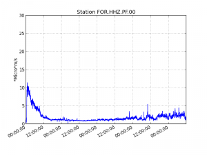
The eruption that began September 15 at 4:25 am local time continues. The volcanic tremor (indicator of eruptive intensity at the surface), has remained at a relatively stable and low level since 18:00 on September 15 (14:00 UTC), despite some variations in recent days.
Figure 1: Evolution of the RSAM (indicator of the volcanic tremor and the intensity of the eruption) between 04:00 (00h UTC) September 15 and 16:00 (12:00 UTC) September 19 on the seismic station of FOR, located near the Château-fort crater (2000 m altitude to the southeast of the summit).
– Four volcano-tectonic earthquakes were recorded under the summit craters during the day of 18 September, as well as an additional one during the current day.
– The SO2 emissions recorded by the OVPF’s permanent sensors are much higher than the atmospheric background (linked to the volcanic gas plume), and are today mostly dispersed towards the west.
https://www.facebook.com/La1ere/videos/283162852407532/
– No deformation is noticeable since the beginning of the eruption.
– The surface flows were estimated from the satellite data, via the platform MIROVA (University of Turin) and HOTVOLC (OPGC – University of Auvergne), and between 5 and 14 m3 / s on the day of 18 September.
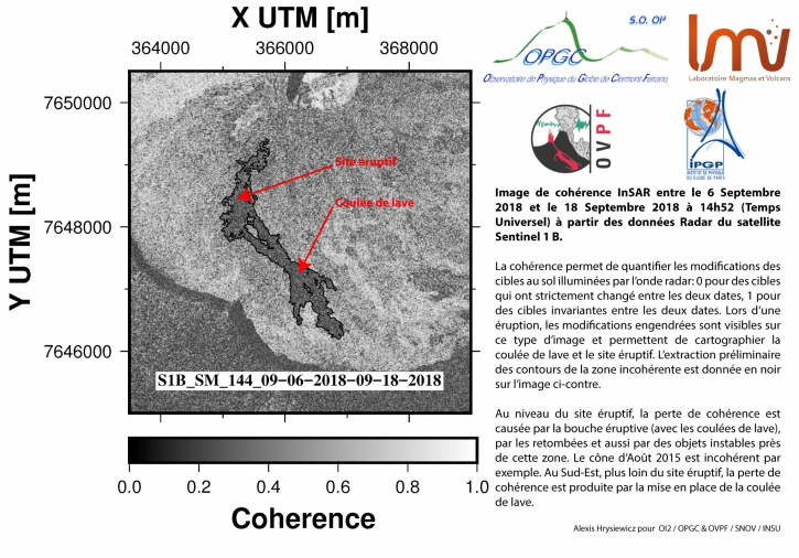
– An outline of the flow could be determined by the OI2 platform (OPGC – University of Auvergne) from the Sentinel satellite data acquired yesterday around 18h52 (local time). These observations confirm the position of the different flow fronts observed yesterday. The flow had traveled about 2.8 km and was 500m from the southern wall of Enclos Fouqué. The maximum width of the flow was 660 m.
Figure 2: Mapping of the lava flow at 19:00 on 19 September carried out by the OI2 service of OPGC-University of Auvergne.
Source : OVPF
Video : La 1ere / Vincent Gougeau Pap S
Colombia , Chiles / Cerro Negro :
The activity level of the volcanoes is maintained at level : YELLOW LEVEL ■ (III): CHANGES IN THE BEHAVIOR OF THE VOLCANIC ACTIVITY
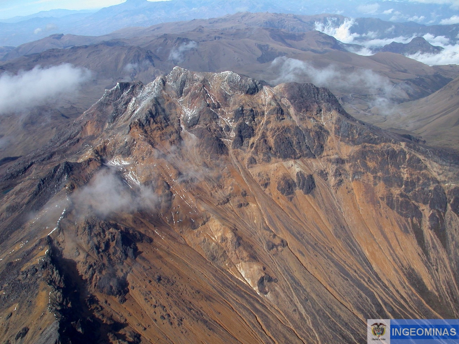
Following the activity of the volcanoes CHILES and CERRO NEGRO, the COLOMBIAN GEOLOGICAL SERVICE (SGC) reports that:
During the period between 11 and 17 September 2018, registered earthquakes remain mostly associated with rock fractures in the volcanic system, highlighting a significant increase in seismicity, from 954 to 4991 events, with a downward trend over the last two days of the evaluated period.
The earthquakes are preferably located southwest of the Chiles volcano at distances up to 3.6 km and depths between 3 and 6 km from the top of Chiles volcano (4700 m). Other earthquakes were located southeast of the volcano up to a distance of 15 km and depths of less than 10 km. The greatest local magnitude of recorded earthquakes was 2.3 on the Richter scale, none of the earthquakes that occurred during the evaluated period were reported as felt.
The Colombian Geological Service and the Institute of Geophysics of the National Polytechnic School of Ecuador closely monitor the evolution of this seismic and volcanic activity and will report without delay on the changes detected.
Source : SGC
Italy , Campi Flegrei :
« After two months of break, the caldera has started to rise again. »
POZZUOLI – « After two months of stagnation, the phenomenon of bradyseism of the Campi Flegrei caldera has begun to increase again by 0.7 centimeters per month in the maximum uplift zone where our Gps Rete station at Rione Terra is located, » he said. Francesca Bianco, director of the observatory of Vesuvius.
From 2011 to the present, the Campi Flegrei uplift was 46 centimeters in the maximum climb zone, which is 30 centimeters from 2014 to today and 10 centimeters from 2017 to today. « But there is absolutely nothing to fear because the period of stagnation and the recovery of the phenomenon of bradyseism are part of the evolution of the volcano – says Bianco.In early 2017, for example, there was a pause that lasted six months, our systems constantly monitor the Phlegraean Fields and, in recent times, there have been no significant geochemical or geophysical changes. »
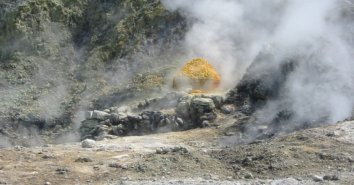
In fact, the carbon dioxide fluxes from the soil, measured during the last week, did not show significant variations. The temperature of the main fumarole of Pisciarelli showed an average value of about 113 degrees.
Source :Pasquale Guardascione , ilmattino.it/napoli/citta/caldera_campi_flegrei_sale-3973439.html
Indonesia , Anak Krakatau :
6.102°S, 105.423°E
Elevation 813 m
Based on satellite data, the Darwin VAAC reported that during 11-13 and 17-18 September ash plumes from Anak Krakatau rose to altitudes of 1.5-1.8 km (5,000-6,000 ft) a.s.l. and drifted NW, W, and SW. The Alert Level remained at 2 (on a scale of 1-4); residents and visitors were warned not to approach the volcano within 2 km of the crater.
Level of Activity at Level II (WASPADA). G. Anak Krakatau (305 m above sea level) has experienced an increase in volcanic activity since 18 June 2018.
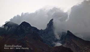
Since yesterday and until this morning, the volcano has been covered with fog. The weak winds are oriented north and west. The smoke from the crater is not observed above the peak because the mountain is covered with fog.
Through the seismographs dated 19 September 2018, it was recorded: a continuous tremor with a maximum amplitude of 3 to 52 mm (dominant value of 45 mm)
Recommendation: People / tourists are not allowed to approach within a radius of 2 km around the crater.
Source : GVP , PVMBG
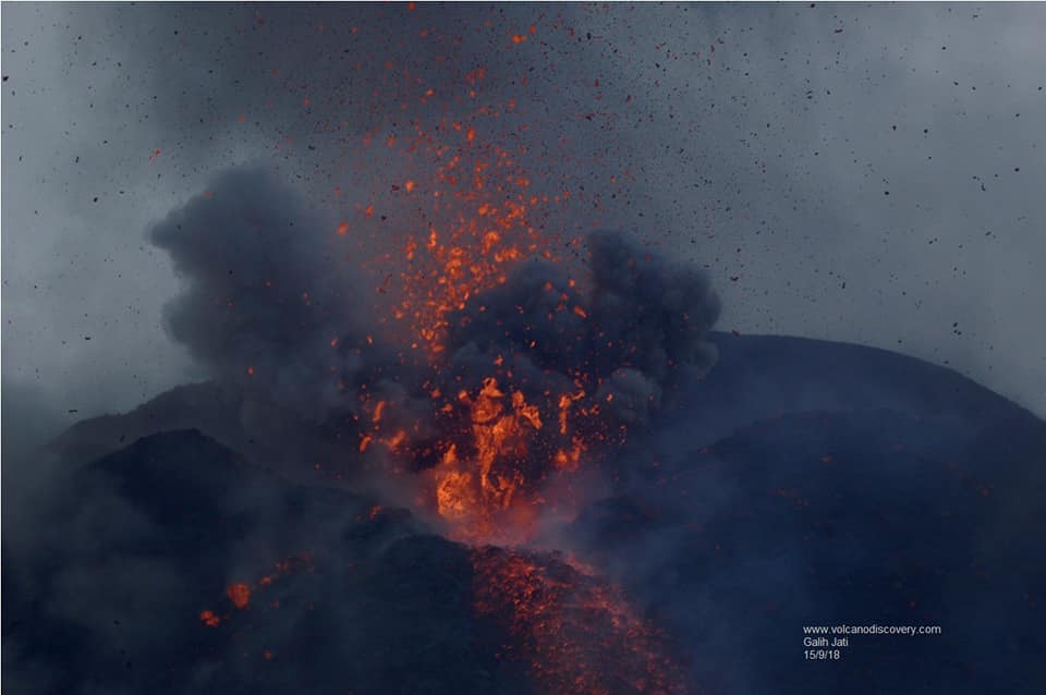
Photo : Yohannes Tyas Galih Jati / Volcanodiscovery

