January 20 , 2025 .
Hawaii , Kilauea :
Sunday, January 19, 2025, 9:10 AM HST (Sunday, January 19, 2025, 19:10 UTC)
19°25’16 » N 155°17’13 » W,
Summit Elevation 4091 ft (1247 m)
Current Volcano Alert Level: WATCH
Current Aviation Color Code: ORANGE
Activity Summary:
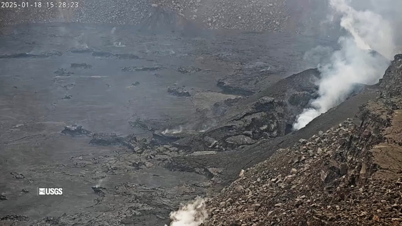
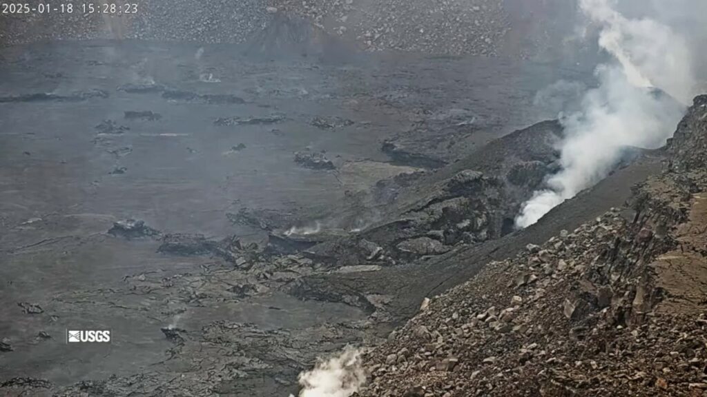
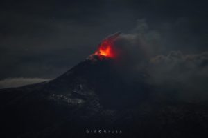
The summit eruption at Kīlauea volcano that began on December 23 ended its fourth eruptive phase around 10:10 a.m. H.S.T. yesterday January 18. Glow from the vents and the crater floor has been persistent since as breakouts and overturning crustal plates expose molten lava. This indicates that lava remains close to the surface of Halemaʻumaʻu within Kaluapele (the summit caldera). No unusual activity has been noted along Kīlauea’s East Rift Zone or Southwest Rift Zone.
Summit Eruption Observations:
The summit eruption at Kīlauea volcano that began on December 23 ended its fourth eruptive phase around 10:10 a.m. H.S.T. yesterday January 18. Activity greatly decreased at approximately 9:45 a.m. when the north vent fountain and associated lava flow stopped erupting, and south vent activity greatly diminished at the same time. Lava continued to flow from south vent for another 20 minutes at a much reduced rate, and stopped erupting by 10:10 a.m. Since then, there has been glow from both vents, and from the crater flow as breakouts and overturning crustal plates expose molten lava. This indicates that lava remains close to the surface. Pele’s hair formed in earlier stages of Episode 4 may continue to be remobilized by winds within the National Park and in nearby communities over the next few days .
Summit Instrumental Observations:
Seismic tremor remains elevated during Episode 4, and abruptly ceased around 10:09 a.m. yesterday morning, returning to background levels within an hour. Seismicity in the summit region remains low, with only 2 small earthquakes (below M2.0) detected in the past 24 hours. Summit tiltmeters began recording inflation at about 9:50 a.m. yesterday, soon after fountaining activity ceased at the north vent, and have been steadily inflating since. The most recently measured sulfur dioxide (SO2) emission rate was approximately 560 tonnes per day Monday, January 14, before the start of Episode 4, and could be analogous to current conditions. Though significantly lower than rates measured during eruptive Episodes 1, 2, and 3 (Kona winds precluded emission rate measurements during Episode 4), this value still represents above-background SO2 emissions, and the resulting hazard will be affected by wind conditions .
Rift Zone Observations:
Seismicity remains low in both the East Rift Zone and Southwest Rift Zone, with counts of shallow earthquakes at background levels. The ESC tiltmeter in the upper East Rift Zone has recorded minor inflation since the start of Episode 4 at the summit. Deformation rates remain low in the middle and lower East Rift Zone and in the Southwest Rift Zone, as recorded by GPS instruments and tiltmeters.
Source et photo : HVO
Indonesia , Ibu :
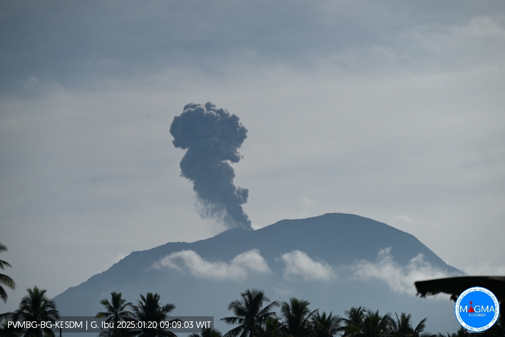
An eruption of Mount Ibu occurred on Monday, 20 January 2025 at 09:08 WIT with an observed ash column height of ± 600 m above the peak (± 1925 m above sea level). The ash column was observed to be white to grey in colour with a thick intensity, oriented towards the West. This eruption was recorded on a seismograph with a maximum amplitude of 28 mm and a duration of 56 seconds.
Explosions also occurred at 09:53, 10:53, 11:05, 11:45, 13:51, etc…
VOLCANO OBSERVATORY NOTICE FOR AVIATION – VONA
Issued : January 20 , 2025
Volcano : Ibu (268030)
Current Aviation Colour Code : ORANGE
Previous Aviation Colour Code : orange
Source : Ibu Volcano Observatory
Notice Number : 2025IBU121
Volcano Location : N 01 deg 29 min 17 sec E 127 deg 37 min 48 sec
Area : North Maluku, Indonesia
Summit Elevation : 4240 FT (1325 M)
Volcanic Activity Summary :
Eruption with volcanic ash cloud at 00h08 UTC (09h08 local).
Volcanic Cloud Height :
Best estimate of ash-cloud top is around 6160 FT (1925 M) above sea level or 1920 FT (600 M) above summit. May be higher than what can be observed clearly. Source of height data: ground observer.
Other Volcanic Cloud Information :
Ash cloud moving to west. Volcanic ash is observed to be white to gray. The intensity of volcanic ash is observed to be thick.
Remarks :
Eruption recorded on seismogram with maximum amplitude 28 mm and maximum duration 56 second.
Source et photo : Magma Indonésie.
Ecuador , El Reventador :
DAILY REPORT ON THE STATE OF THE REVENTADOR VOLCANO, Sunday, January 19, 2025.
Information Geophysical Institute – EPN.
Surface Activity Level: High, Surface Trend: No Change
Internal Activity Level: Moderate, Internal Trend: No Change
From January 18, 2025, 11:00 a.m. to January 19, 2025, 11:00 a.m.:
Seismicity:
The count of seismic events recorded at the station is detailed below.
Explosion (EXP) 71
Long Period (LP) 13
Emission Tremor (TREMI) 8
Harmonic Tremor (TRARM) 11
Rainfall/Lahars:
No rain has been recorded in the areas surrounding the volcano. **In the event of heavy rain, it could remobilize the accumulated materials, generating mud and debris flows that would descend the flanks of the volcano and flow into adjacent rivers.
Emission/Ash Column:
Since yesterday afternoon at the time of writing this report, the surveillance camera system and satellite images have recorded several emissions of gas and ash with heights between 600 and 1000 meters above the crater level in a westerly direction. In connection with this activity, the Washington VAAC agency has generated three emission reports with heights below 1,100 meters above the crater level in the west and southwest directions.
Gas:
The Mounts satellite system reported 6.3 tons of sulfur dioxide (SO2) recorded on 18/01/2025 at 14:09 TL.
Other monitoring parameters:
The FIRMS satellite system recorded 5 thermal anomalies and the MIROVA-VIIRS satellite system recorded 1 thermal anomaly in the last 24 hours.
Observation:
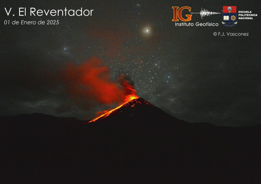
Since yesterday evening, several episodes of incandescence and descent of material up to 900 meters below the crater level have been observed thanks to the surveillance camera system. At the time of writing, the volcano remains completely cloudy.
Source : IGEPN
Photo : F. J. Vasconez/IG-EPN / Volcanes Ecuador / FB.
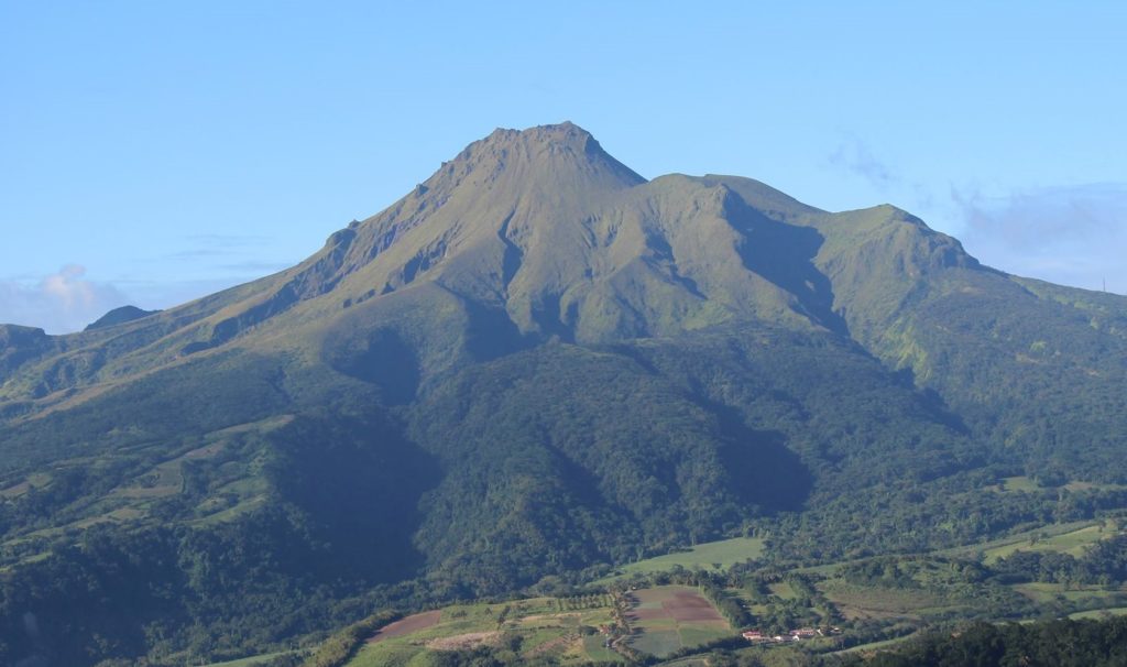
la Martinique Island , Mount Pelée :
Weekly report, Institut de physique du globe de Paris / Observatoire volcanologique et seismologique de Martinique .
Saint-Pierre, January 17, 2025 at 16:45 local time (GMT-4)
Volcanic activity is decreasing this week with 13 earthquakes of volcanic origin observed.
Between January 10, 2025 at 16:00 (UT) and January 17, 2025 at 16:00 (UT), the OVSM recorded 13 low-energy earthquakes of the volcano-tectonic type. These earthquakes were clearly identified as coming from one of the well-known seismically active zones at Mount Pelée, located between 1.0 and 1.4 km deep below the summit of the volcano. The superficial seismicity of the volcano-tectonic type is associated with micro-fracturing in the volcanic edifice in connection with the global reactivation of the volcano observed since the end of 2018.
No earthquake was felt by the population.
The previous week, the OVSM had recorded 45 earthquakes of volcanic origin. As of January 17, 2025 and over the past 4 weeks, the OVSM has therefore observed a total of 74 volcanic earthquakes, or an average of 18 to 19 earthquakes per week.
During the volcanic reactivation phases of volcanoes similar to Mount Pelée, it is common to observe seismic activity that varies in intensity and frequency.
For more details on observations and interpretations of volcanic activity over the longer term, refer to the OVSM monthly bulletins.
The alert level is currently YELLOW: vigilance.
Source : Direction de l’OVSM-IPGP.
Photo : OVSM
Costa Rica , Rincon de la Vieja / Poas :
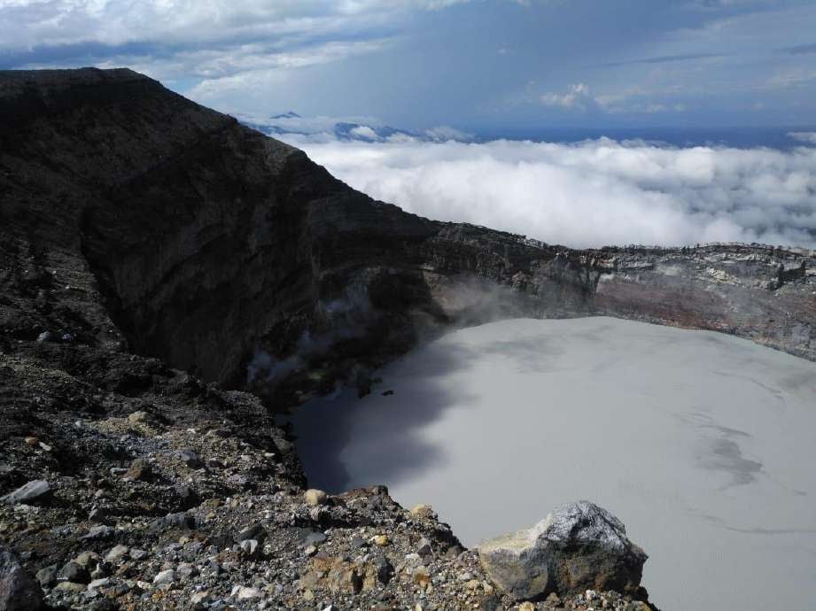
Rincón de la Vieja Volcano
Latitude: 10.83°N;
Longitude: 85.34°W;
Altitude: 1916 m.
Current Activity Level: Warning
Eruptive activity remains low with the occurrence of 2 low-energy exhalations rich in water vapor, aerosols and volcanic gases during this week. Background seismic tremor remains stable, with a slight increase since January 16, with a dominant frequency of 4 Hz. The occurrence of long-period « Tornillos » signals continues. Distal VTd volcano-tectonic earthquakes have been recorded, mainly on January 11 and 12.
The dominant frequency of « Tornillos » shows a slight downward trend in recent weeks. The gas compositions recorded by MultiGAS remain relatively stable during the last month with CO2/SO2 values between 1 and 5 and H2S/SO2 below 0.1. During the last week, the average SO2 flux was 379 ± 202 t/d. The weather conditions prevailing in the country between mid-2024 and today, have prevented the obtaining of satellite data, however, on December 26, 2024, the OMI instruments of the SENTINEL satellite managed to detect a mass of SO2 of 19 tons emitted by the Rincón.
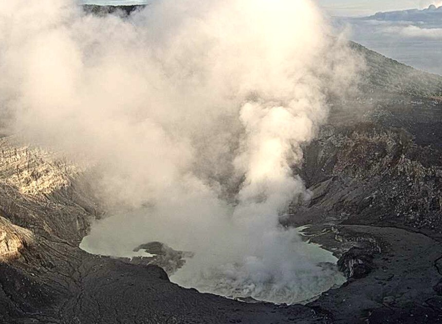
Poas Volcano
Latitude: 10.20°N;
Longitude: 84.23°W;
Altitude: 2687 m
Current activity level: Warning
This week, following the eruptive bubbling event at Boca A on 5 January, no other similar activity was recorded, except for a brief small bubble event (< 10 minutes) on 12 January. Both eruptive events were detected by seismic and acoustic sensors, ground-level gas detectors and by the SENTINEL satellite. However, the eruption of 12 January could not be directly observed, probably due to the low altitude of the eruption and partly cloudy conditions in the crater area. This week, the amplitude of the volcanic tremor seismic signal has been highly variable, with episodes of greater intensity and a general increasing trend. The number of long-period (LP) seismic events continues to decrease.
High frequency (HF) events continue to be recorded. Regarding the proximal volcano-tectonic (VTp) seismicity, only 3 events were recorded this week on 15 January, in contrast to last week, when at least 20 events occurred before, during and after the eruption on 5 January. Gas monitoring showed significant changes over the past month, with a significant increase in SO2 degassing and variations in gas compositions. The MultiGAS station recorded elevated SO2 concentrations (weekly average of 20 ppm, with a discrete value of 90 ppm SO2 recorded on 5 January) and an increase in SO2/CO2 from values close to 0.5 in December 2024 to an average of 1.3 ± 0.4 this week. The H2S/SO2 ratio remains low with values below 0.1. During the last week, the average SO2 flux was 456 ± 218 t/d, similar to that of the previous week (441 ± 189 t/d). The OMI instruments of the SENTINEL satellite recorded the maximum values of SO2 gas on 5 and 12 January (600 and 179 tonnes, respectively), exactly the 2 days when the water-gas-sediment bubbles occurred in the southern sector of the hyperacid lake.
Source : Ovsicori
Photos : Waldo Taylor / ICE , Ovsicori .

