September 25 , 2018 .
La Réunion , Piton de la Fournaise :
Activity Bulletin of Monday, September 24, 2018 at 16:00 (local time).
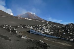
The eruption started on September 15th at 4:25 am local time continues. After a slight increase observed during the day yesterday, the intensity of the volcanic tremor (indicator of the eruptive intensity at the surface) returned to a relatively stable level despite some subtle fluctuations (Figure 1).
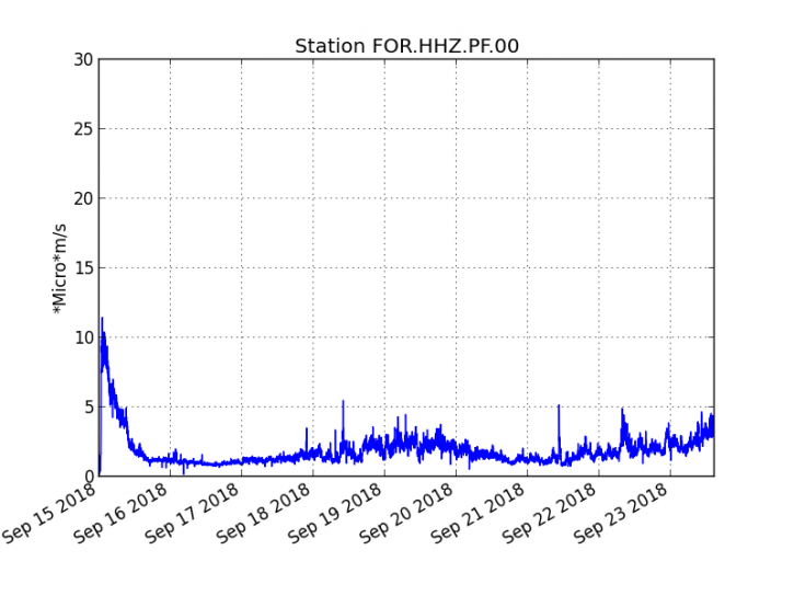
Figure 1: Evolution of the RSAM (indicator of the volcanic tremor and the intensity of the eruption) between 04h00 (00h UTC) on September 15th and 16h00 (12h00 UTC) on September 24th on the FOR seismic station, located near the crater Chateau Fort (2000 m altitude on the southeast flank of the terminal cone). (© OVPF / IPGP)
– No volcano-tectonic earthquake was recorded during the day of 23 September or during the current day.
– No significant deformation is noticeable.
– The surface flows estimated from the satellite data, via the HOTVOLC platform (OPGC – Clermont Auvergne University) are maintained and are always between 1 m3 / s and 3 m3 / s over the last 24 hours.
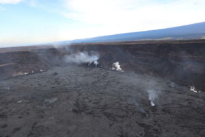
– The cone continues its edification (Figure 2) and remains still south, leaving behind a main channel much channeled towards the south, then heading south-east.
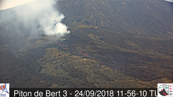
Figure 2: Shooting on the eruptive site from Piton Bert at 15:56 local time (11:56 UTC) from the OVPF / IRT webcam. (© OVPF / IPGP)
Alert level: Alert 2-2 – Eruption in the Enclos.
Source : OVPF
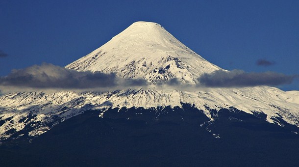
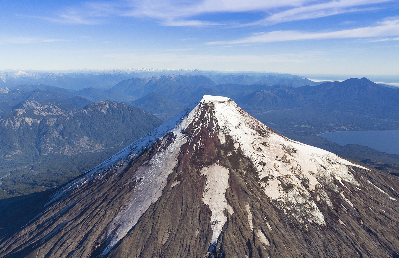
Chile , Osorno :
During this period, 94 seismic events were recorded, of which 83 were classified as long period type (LP) events in relation to fluid dynamics within the volcano and / or glacial dynamics. The larger magnitude event had reduced displacement values (DRC) equal to 5.8 cm2. In addition, 11 volcano_tectonic (VT) type events, associated with the fracturing of rigid materials, have been classified. The larger energy event had a local magnitude (ML) equal to M 1.9 and was located 1.6 km north – northwest of the crater at a depth of 4.7 km.
A seismic signal typical of an avalanche process comes off, recorded on August 29 at 11:49 GMT, with a duration of 10 minutes and a reduced displacement value of about 20 cm2, which was located in the South-East. of the volcano, near the glacial limits. The photos taken by CONAF personnel in the area of Petrohue, August 30, show five ice avalanche languages southeast of the volcano, which coincide with the location of the seismic signal mentioned, as well as a fracture of the upper part of the glacier. The Planet images confirm the occurrence of this phenomenon between August 20th and 29th.
Surveillance camera images did not show any superficial activity when weather conditions allowed observation.
The indications of the electronic inclinometers did not reveal any changes in relation to changes in the internal dynamics of the volcano.
No emissions of sulfur dioxide (SO2) to the atmosphere in the volcano area have been reported, according to data published by the Ozone Monitoring Instrument (OMI) Sulfur Dioxide Group (http: / /so2.gsfc.nasa.gov/) and the National Satellite Environment and Information Data (NESDIS) (http: // satepsanoine nesdis.noaa.gov) ..
No thermal warnings have been reported in the volcano-associated area, according to data processed by Infrared, a means of observing volcanic activity (Mirova) (http://www.mirovaweb.it/) and MODVOLC (http : //modis.higp.hawaii.edu/).
Although the seismicity is maintained in similar values compared to the previous fortnight, volcano-tectonic seismic activity located north of the volcanic structure persists, a process that may lead to a greater possibility of instability of the volcanic system. Also, it is important to evaluate the state of stability of the ice zone in the avalanche area by overflight.
For the above, the volcanic alert is maintained at the level:
YELLOW LEVEL: Changes in the behavior of volcanic activity – Probable time for an eruption: WEEKS / MONTH.
Source : Sernageomin .
Photo : La Angostura
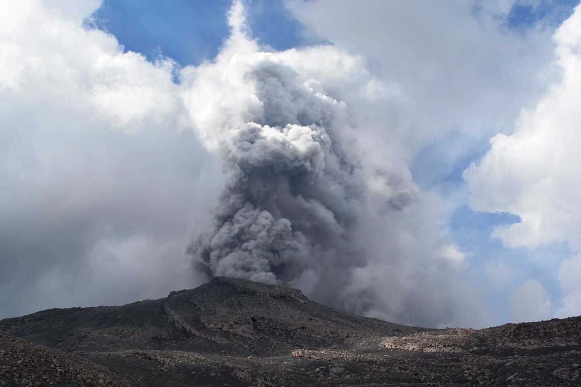
Peru , Sabancaya :
An average of 16 Explosions / day was recorded. Earthquakes associated with the rise of magma (hybrid types) remain very few and low energy.
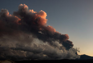
Eruptive columns of gas and ash reached a maximum height of 3,500 m above the crater. The dispersion of these materials occurred within a radius of about 40 km, mainly in the north-east and north-west directions.
The volcanic gas flow (SO2) recorded on September 17 a maximum value of 1600 tons / day, a value considered important.
The deformation of the surface of the volcanic edifice showed variations.
The MIROVA satellite system recorded 8 thermal anomalies with values between 1 MW and 25 MW VRP (Radiated Volcano Power).
In general, eruptive activity maintains moderate levels. No significant changes are expected in the following days.
Source : IGP.
Indonesia , Anak Krakatau :
Flights not yet affected by Mt. Anak Krakatau eruption, authorities say.
Authorities say flights have not been affected by the eruption of Mount Anak Karakatau in the Sunda Strait, South Lampung regency, Lampung.
The Meteorology, Climatology and Geophysics Agency (BMKG) reported that the volcano erupted over 44 times over the weekend, with thick smoke billowing from the volcano’s crater at a height of 200 meters from the crater’s peak.
The agency also recorded 253 incidences of seismic activity, prompting local authorities to warn tourists and residents to steer clear of the volcano and its surrounding areas.
BMKG spokesperson Hary Djatmiko told The Jakarta Post that as of Monday morning, the volcano was still spewing volcanic ash into the air.
“Based on satellite imagery, the volcanic ash has reached 7,000 feet and is moving west to Sumatra island,” he said on Monday.
However, he has yet to receive reports of potential disruptions to flights.
https://www.facebook.com/galihadventure/videos/10212820015355591/
Airlines have confirmed the statement.
Garuda Indonesia spokesperson Ikhsan Rosan said the airline’s flights, especially those bound for Sumatra, were operating normally.
AirAsia Indonesia spokesman Baskoro Adiwiyono said the airline’s flights had also been operating normally, while the operator was monitoring Mount Anak Krakatau’s latest situation.
Lion Air Group spokesman Danang Mandala Prihantoro also ensured that all Lion Air flights on the Java-Sumatra route would fly on schedule.
“To ensure the safety of flights, we will obey the airport authority’s decision,” Danang said. (ris/swd)
Level of activity at Level II (WASPADA). Anak Krakatau (305 m above sea level) has experienced an increase in volcanic activity since 18 June 2018.
Since yesterday and until this morning, the volcano was visually covered with fog. The winds were weak and oriented east and south-east. The smoke from the crater is not observed. At night, it was observed an incandescence. There was a thud and a low vibration well heard at the PGA Post.
Thanks to the seismographs of September 24, 2018, it was recorded:
69 earthquakes of eruption
Continuous tremor with a maximum amplitude of 5 to 55 mm (dominant value of 45 mm)
Recommendations:
People / tourists are not allowed to approach the crater within 2 km.
Source : Jakarta Post , PVMBG.
Vidéo : Yohannes Tyas Galih Jati.
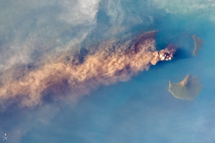
Photo : earthobservatory.nasa.gov