March 29, 2022. EN. Colombia : Nevado del Ruiz , Peru : Sabancaya , Azores : São Jorge , Philippines : Taal , Indonesia : Anak Krakatau , Iceland : Reykjanes Peninsula .
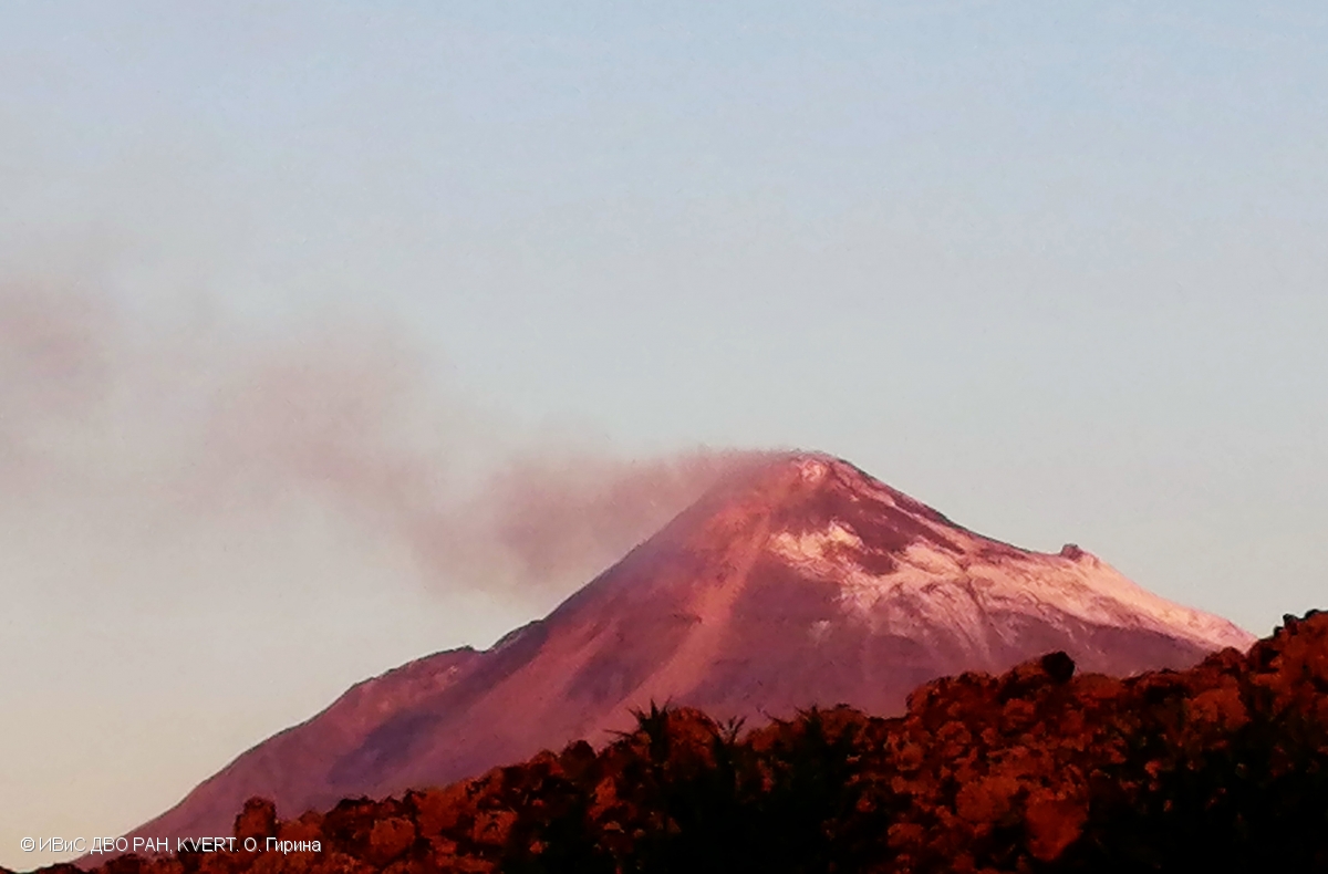
March 29 , 2022. Colombia , Nevado del Ruiz : Subject: Activity of the Nevado del Ruiz volcano. The level of activity is maintained at the Yellow level…