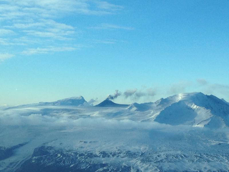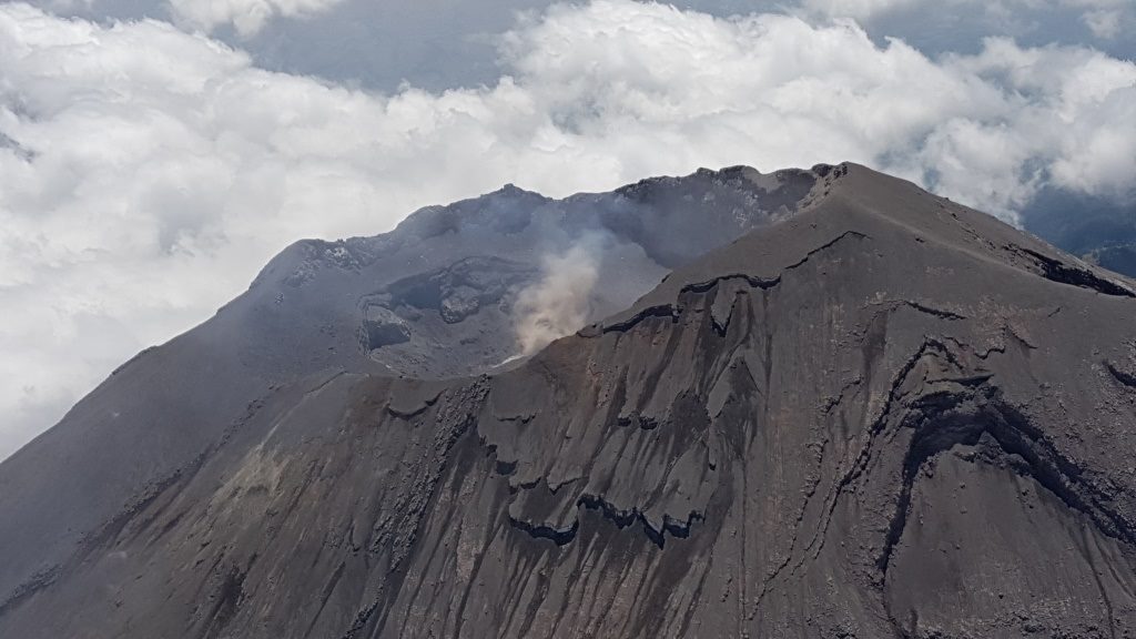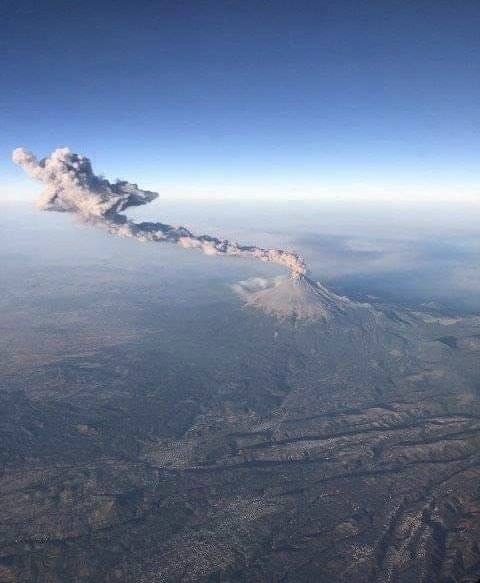
May 22, 2019 . EN . Hawaii : Kilauea , Colombia : Chiles / Cerro Negro , Ecuador : Sangay , Guadeloupe : La Soufrière .
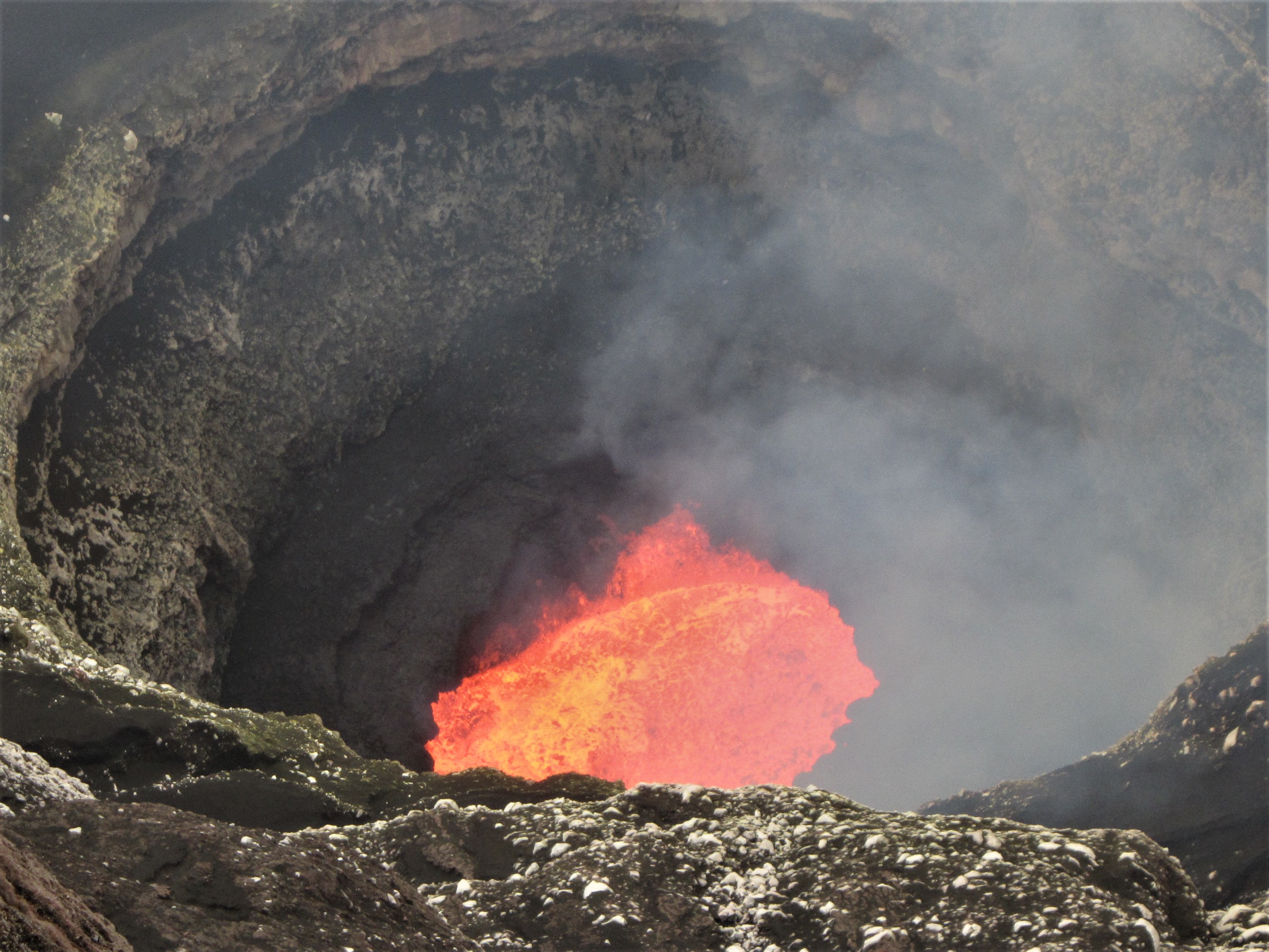
May 22 , 2019. Hawaii , Kilauea : 19°25'16" N 155°17'13" W, Summit Elevation 4091 ft (1247 m) Current Volcano Alert Level: NORMAL Current Aviation Color Code: GREEN…