January 19 , 2025.
Hawaii , Kilauea :
Saturday, January 18, 2025, 10:42 AM HST (Saturday, January 18, 2025, 20:42 UTC)
19°25’16 » N 155°17’13 » W,
Summit Elevation 4091 ft (1247 m)
Current Volcano Alert Level: WATCH
Current Aviation Color Code: ORANGE
Activity Summary:
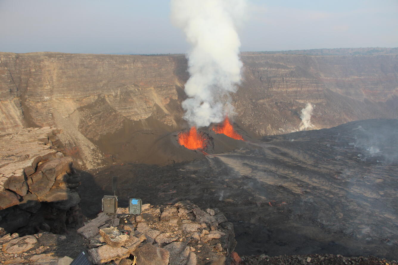
The eruption within Kaluapele (summit caldera) paused around 10:10 a.m. H.S.T. Activity greatly decreased at approximately 9:45 a.m. this morning when the north vent fountain and associated lava flow stopped erupting, and south vent activity greatly diminished at the same time. Lava continued to flow from south vent for another 20 minutes at a much reduced rate. Seismic tremor dropped just before 10:10 a.m. and the deflationary tilt that accompanied the start of Episode 4 on January 15 reversed at about 10:00 a.m. and is now inflating.
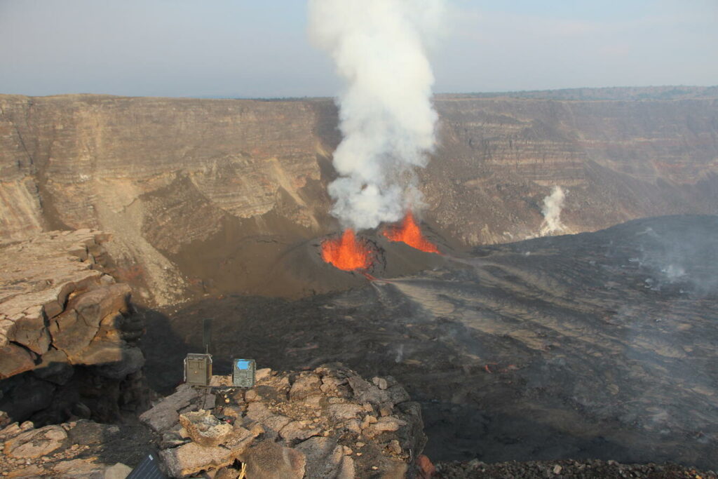
View from the southwest rim of Kaluapele, the summit caldera of Kīlauea, where the temporary S2 webcam is located. This view looks down on the active north and south vents on the morning of January 17, 2025, as lava fountains reached 100-115 ft (30-35 m) high and feeding lava flows in the western part of Halemaʻumaʻu. The volcanic plume was going almost straight up from the lack of wind.
Lava within Halemaʻumaʻu crater continues to slowly move and crustal overturns are expected in the hours following the pause. The vents may continue to glow and degassing currently remains at high level. It is uncertain if lava drainback will occur as the vents have built up an internal structure that may stop lava from flowing back down into the vents.
HVO continues to closely monitor Kīlauea and will issue an eruption update tomorrow morning, or a status report before then if there are significant changes to report.
Kīlauea Volcano Alert Level/Aviation Color Code remain at WATCH/ORANGE. All current and recent activity is within Hawaiʻi Volcanoes National Park. No changes have been detected in the East Rift Zone or Southwest Rift Zone.
Source : HVO
Photo : USGS / D. Downs.
Indonesia , Dukono :
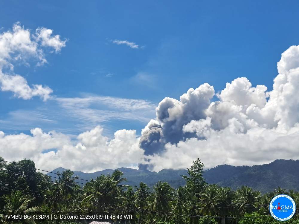
An eruption of Mount Dukono occurred on Sunday, 19 January 2025 at 11:47 WIT with an observed ash column height of ±1100 m above the peak (±2187 m above sea level). The ash column was white to grey in colour with a thick intensity, oriented towards the southwest and west. At the time of writing, the eruption was still ongoing.
Seismicity observation:
394 earthquakes of eruptions with an amplitude of 5 to 34 mm and a duration of 32.39 to 80.17 seconds.
1 distant tectonic earthquake with an amplitude of 34 mm, and an earthquake duration of 126.54 seconds.
1 Continuous Tremor earthquake with an amplitude of 1-4 mm, dominant value 2 mm.
Recommendation
(1) People in the vicinity of Mount Dukono and visitors/tourists should not carry out activities, climb or approach the Malupang Warirang crater within a radius of 4 km.
(2) Since volcanic eruptions with ash occur periodically and the distribution of ash follows the direction and speed of the wind, so that the area where the ash lands is not constant, it is recommended that people around Mount Dukono always Provide masks/nasal masks and mouth covers to be used when necessary to avoid the threat of volcanic ash to the respiratory system.
Source et photo : Magma Indonésie.
Ecuador , Sangay :
DAILY STATE REPORT OF SANGAY VOLCANO, Saturday, January 18, 2025.
Information Geophysical Institute – EPN.
Surface Activity Level: Moderate, Surface Trend: No Change
Internal Activity Level: Moderate, Internal Trend: No Change
Seismicity: From January 17, 2025, 11:00 a.m. to January 18, 2025, 11:00 a.m.:
Seismicity:
Below is the count of seismic events recorded at the reference station
Explosion (EXP): 155
Precipitation/Lahars:
The presence of rain in the area of the volcano or in the surrounding area, which could generate mud and debris flows, has not been recorded by surveillance cameras. **In the event of heavy rain, it could remobilize the accumulated materials, generating mud and debris flows that would descend the sides of the volcano and flow into adjacent rivers.
Emission/Ash Column:
Since yesterday, due to unfavorable weather conditions, no gas and ash emissions have been observed through surveillance camera monitoring. The Washington VAAC agency has not published any reports.
Observation:
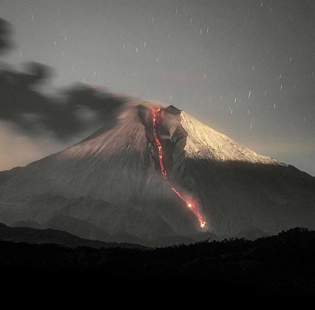
Since yesterday evening, the surveillance camera system has observed incandescence at the crater. At the time of writing this report, the volcano remains completely cloudy.
Alert Level: Yellow
Source : IGEPN
Photo : Eqphos_fotografía ( 12/2023 )
Colombia , Cerro Machín :
Manizales, January 14, 2025, 9:10 p.m.
Following the monitoring of the activity of the Cerro Machín volcano, the Colombian Geological Survey (SGC), an entity attached to the Ministry of Mines and Energy, reports that:
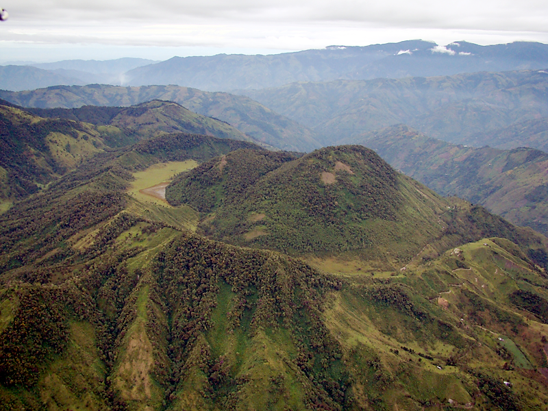
For the week of January 7 to 13, 2025, the recording of seismic activity associated with rock fracturing inside the volcanic edifice continued. Compared to the previous week, seismic activity increased in the number of events and in seismic energy released. The earthquakes were located mainly in the southwest corner (from west to south-southwest) of the volcano, at distances less than 2 km from its central part, and at depths between 2 km and 5 km measured from the summit. The highest magnitude was 1.2, corresponding to the earthquake recorded on January 11 at 9:02 p.m., located 1 km southwest of the summit of the volcano and 3 km deep.
The other parameters measured and used for the diagnosis of volcanic activity have not shown significant changes during the period evaluated.
Based on the above, the SGC recommends closely monitoring its evolution through the weekly bulletins and other information published through our official channels, as well as the instructions of local and departmental authorities and the National Disaster Risk Management Unit (UNGRD).
The status of volcanic activity remains Yellow Alert: active volcano with changes in the behavior of the base level of the monitored parameters and other manifestations.
Source et photo : SGC
Guatemala , Santiaguito :
Elevation: 2,500m.
Weather: Clear.
Wind: East.
Precipitation: 0.0 mm.
Activity:
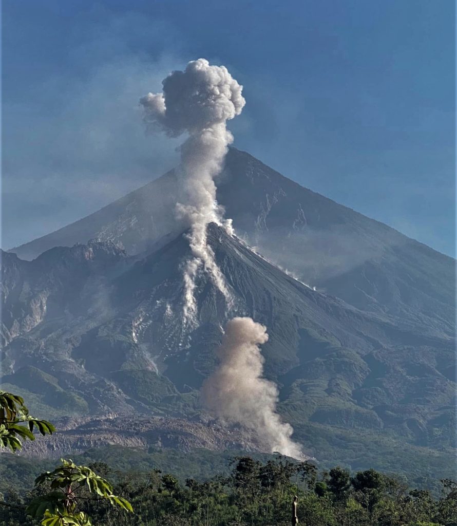
The observatory reports activity in the Caliente dome, with moderate and abundant degassing columns continuously dispersing in a westerly direction. 3 to 8 weak to moderate explosions per hour are observed, accompanied by moderate block avalanches in the south and southwest directions, as well as accumulation of hot material mainly towards the southwest flank in the upper part of the lava flow. At night, intermittent incandescence can be observed during moderate avalanches and sustained incandescence in the crater and at the beginning of the lava flow.
The accumulation of new material has caused an avalanche collapse in front of the lava flow. Moderate to strong explosions lift columns of gas and ash up to heights of 3,700 m (12,140 ft) and trigger the descent of short-distance pyroclastic flows extending on all flanks and weak and/or strong avalanches that can be audible several kilometers from the volcano. The occurrence of moderate to strong block and ash flows is not excluded, as well as possible long-distance pyroclastic flows in different directions, therefore the recommendations of special bulletin BESAN-004-2024 should be followed.
Source : Insivumeh
Photo : Armando Pineda

