January 05 , 2025.
Hawaii , Kilauea :
HAWAIIAN VOLCANO OBSERVATORY STATUS REPORT
U.S. Geological Survey
Friday, January 3, 2025, 9:08 PM HST (Saturday, January 4, 2025, 07:08 UTC)
19°25’16 » N 155°17’13 » W,
Summit Elevation 4091 ft (1247 m)
Current Volcano Alert Level: WATCH
Current Aviation Color Code: ORANGE
Activity Summary:
The eruption within Halemaʻumaʻu crater paused at approximately 8:40 p.m. tonight with both fountaining and lava flow effusion ceasing at the same time. Currently there is no lava draining back into the southern vent, which was the only vent actively erupting at the time. Seismic tremor also began dropping at this time and deflation that began December 29th of the summit is continuing for now, but is expected to slow down, stop, or begin inflating in the next few hours.
Lava within Halemaʻumaʻu crater continues to slowly move and crustal overturns are expected in the hours following the pause. The vents may continue to glow and degassing currently remains at high level. Gas measurements made yesterday were approximately 30,000 tonnes per day. It is uncertain if lava drainback will occur as the vent had built up an internal structure that may stop lava from flowing back down into the vent.
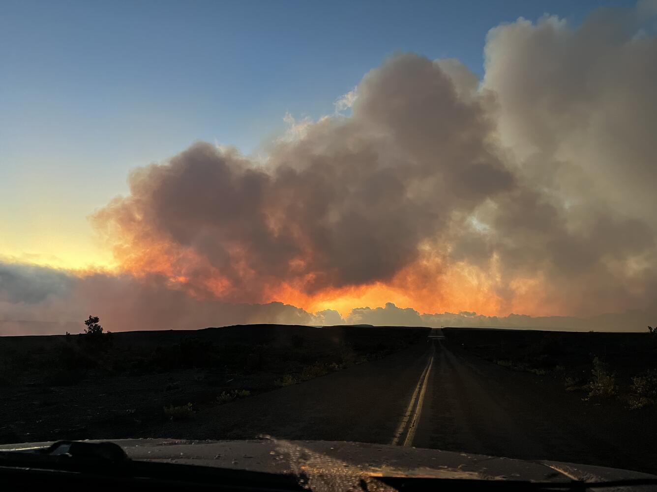
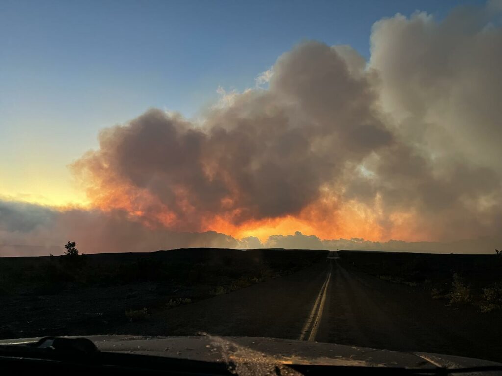
At dawn on December 31, 2024 the eruption in Kaluapele (Kīlauea caldera) continued. The plume of volcanic gas seen here was blown to the southwest of Kaluapele across the closed Crater Rim Drive in Hawai‘i Volcanoes National Park.
Saturday, January 4, 2025, 12:50 PM HST (Saturday, January 4, 2025, 22:50 UTC)
Daily Update Correction:
The morning Kīlauea Daily Update incorrectly stated that the summit eruption paused at 8:40 a.m. on Friday, January 3. The correct time of the pause onset was at 8:40 p.m., Friday night, January 3, which was given in yesterdayʻs Kīlauea Status Report about the pause event. Otherwise, conditions remain the same as reported in this morningʻs Daily Update.
Source : HVO
Photo : USGS / K. Lynn.
Indonesia , Ibu :
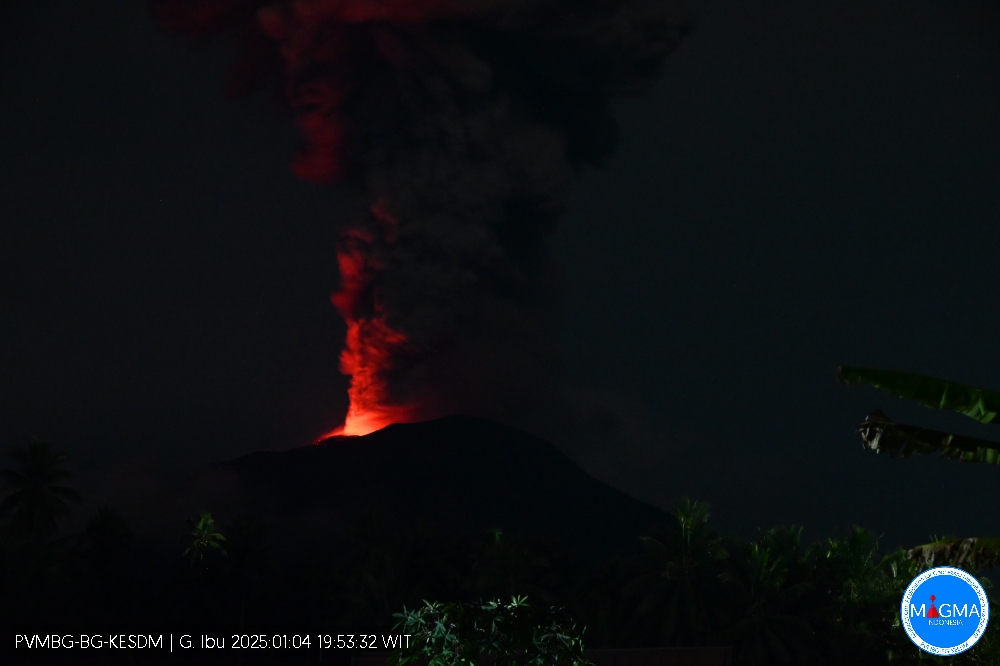
An eruption of Mount Ibu occurred on Saturday, 4 January 2025 at 19:51 WIT with the height of the ash column observed at ± 2,500 m above the summit (± 3,825 m above sea level). The ash column was grey in colour with a thick intensity, oriented towards the North-East and East. This eruption was recorded on a seismograph with a maximum amplitude of 28 mm and a duration of 77 seconds.
VOLCANO OBSERVATORY NOTICE FOR AVIATION – VONA
Issued : January 04 , 2025
Volcano : Ibu (268030)
Current Aviation Colour Code : ORANGE
Previous Aviation Colour Code : orange
Source : Ibu Volcano Observatory
Notice Number : 2025IBU017
Volcano Location : N 01 deg 29 min 17 sec E 127 deg 37 min 48 sec
Area : North Maluku, Indonesia
Summit Elevation : 4240 FT (1325 M)
Volcanic Activity Summary :
Eruption with volcanic ash cloud at 10h51 UTC (19h51 local).
Volcanic Cloud Height :
Best estimate of ash-cloud top is around 12240 FT (3825 M) above sea level or 8000 FT (2500 M) above summit. May be higher than what can be observed clearly. Source of height data: ground observer.
Other Volcanic Cloud Information :
Ash cloud moving from northeast to east. Volcanic ash is observed to be gray. The intensity of volcanic ash is observed to be thick.
Remarks :
Eruption recorded on seismogram with maximum amplitude 28 mm and maximum duration 77 second.
Source et photo : Magma Indonésie .
Guadeloupe Island , La Soufrière :
Press release from the Institut de physique du globe de Paris. Volcanological and seismological observatory of Guadeloupe
Wednesday, January 1, 2025 – 12:00 p.m. local time – 4:00 p.m. UTC
Sequence of earthquakes in the La Soufrière area of Guadeloupe – Basse Terre
The sequence of volcanic earthquakes that began on Thursday, December 26, 2024 at 6:00 p.m. local time (10:00 p.m. universal time, UT*) in the La Soufrière volcano area ended on Monday, December 30, 2024 at 2:30 p.m. local time (6:30 p.m. universal time, UT*).
During this sequence, the OVSG-IPGP networks recorded 180 earthquakes of very low magnitude (M < 1). No earthquake was reported as felt. The events are located at a depth of < 2.5 km below the summit of the La Soufrière dome.
The alert level remains: yellow, vigilance.
* local time = UT – 4:00
Source : Direction de l’OVSG-IPGP
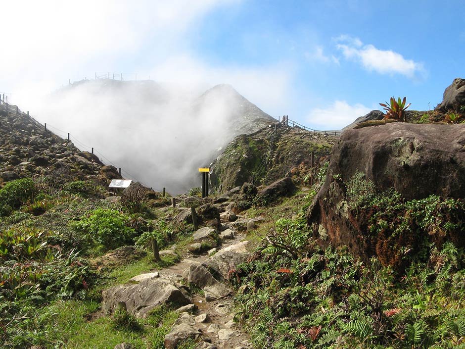
Photo : pp.aircaraibes.com
Ecuador , Sangay :
DAILY REPORT ON THE STATE OF SANGAY VOLCANO, Saturday, January 04, 2025.
Information Geophysical Institute – EPN.
Surface activity level: Moderate, Surface trend: No change
Internal activity level: Moderate, Internal trend: No change
Seismicity: From January 03, 2025, 11:00 a.m. to January 04, 2025, 11:00 a.m.:
Seismicity:
Below is the count of seismic events recorded at the reference station
Explosion (EXP): 45
Precipitation / Lahars:
The presence of rain in the area of the volcano or in the surrounding area, which could generate mud and debris flows, has not been recorded by surveillance cameras. **In the event of heavy rain, it could remobilize the accumulated materials, generating mud and debris flows that would descend the sides of the volcano and flow into adjacent rivers.
Emissions / ash column:
Since yesterday, due to the weather conditions in the area, no emissions of gas or ash have been observed. The VAAC agency in Washington has not published any reports in the last 24 hours.
Observation:
Since yesterday, due to unfavorable weather conditions, it has not been possible to observe episodes of incandescence, thanks to monitoring by surveillance cameras and weather forecasting means. On the other hand, the volcano has remained completely cloudy most of the time.
Alert level: yellow
Source : IGEPN
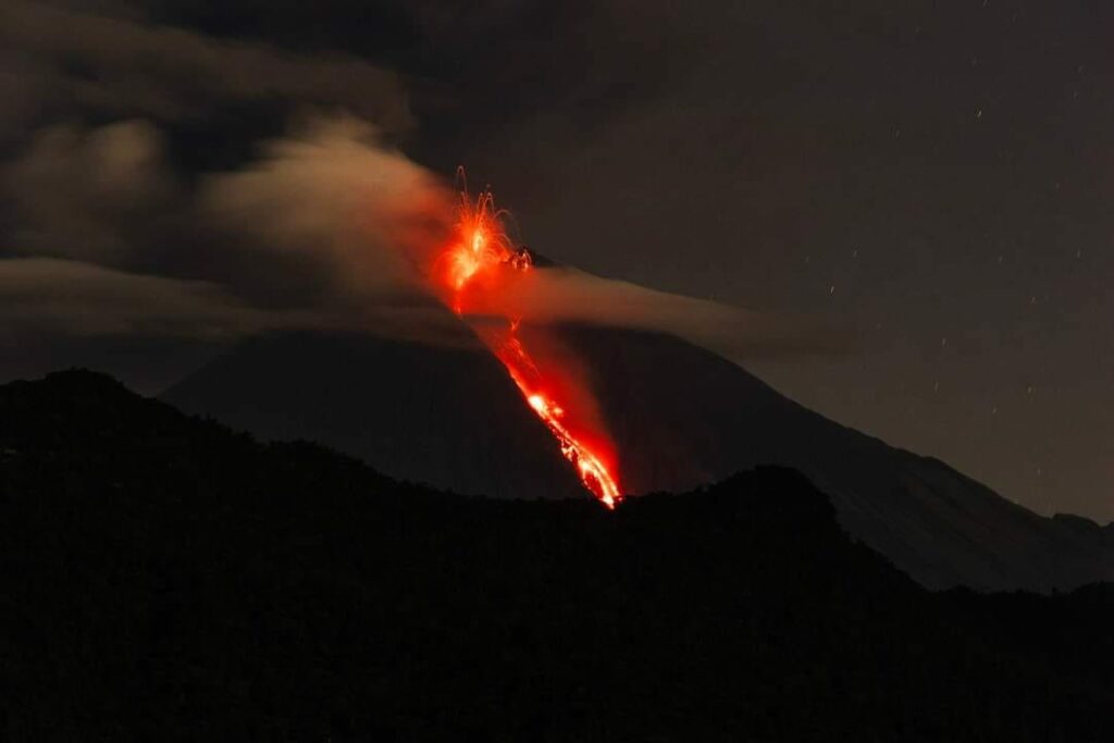
Photo : Luis Lema via volcan Sangay FB , 30/03/2024
Guatemala , Fuego :
Atmospheric conditions: Clear.
Wind: East.
Precipitation: 0.0 mm.
Activity:
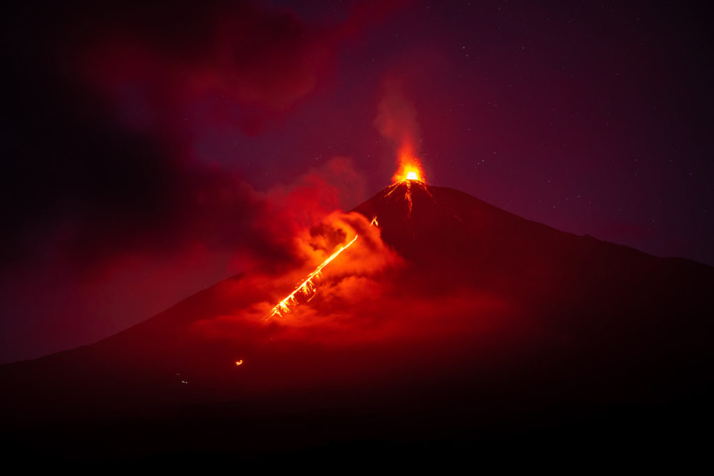
The Fuego Volcano Observatory reports volcanic activity, consisting of explosions of weak to moderate characteristics, as well as degassing events, occurring at a frequency of 6 to 10 per hour, which raise columns of gas and ash to heights of 4,200 to 4,600 meters above sea level. The wind moves them towards the West and Northwest, and also lifts the fine sediments accumulated in the ravines, forming a curtain of ash on the southwest flank of the volcano. In the early morning, clouds covered the crater, in which an orange incandescence was reflected, product of the explosive and degassing activity.
Some explosions were accompanied by avalanches of blocks from the crater towards the ravines of Ceniza, Trinidad, Las Lajas and Honda. The explosions are accompanied by weak and moderate rumblings, with shock waves that vibrate the windows and tin roofs of the houses of the communities near the volcano. Noises similar to those of aircraft turbines are also produced for periods of up to 10 minutes, with a weak fall of ash particles on San Pedro Yepocapa, Sangre de Cristo, Finca Palo Verde, El Porvenir, Santa Sofía, Yucales, Morelia, Panimaché I and Panimaché II, Finca La Asunción, La Rochela, San Andrés Osuna and Ceylán. The activity continues according to the parameters described in bulletin BEFGO-101-2024.
Source : Insivumeh.
Photo : Diego Rizzo .

