December 17 , 2024.
Philippines , Taal :
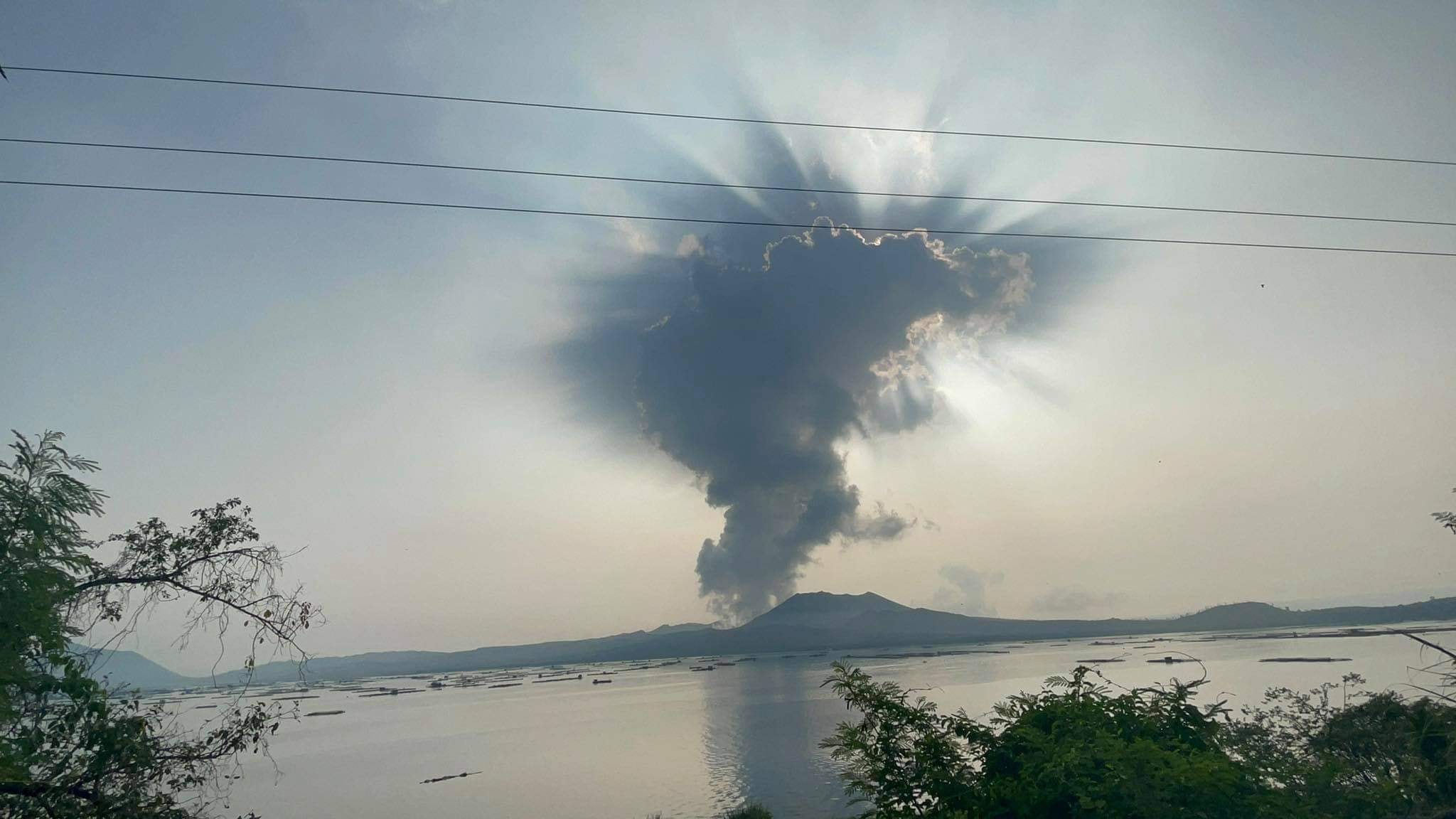
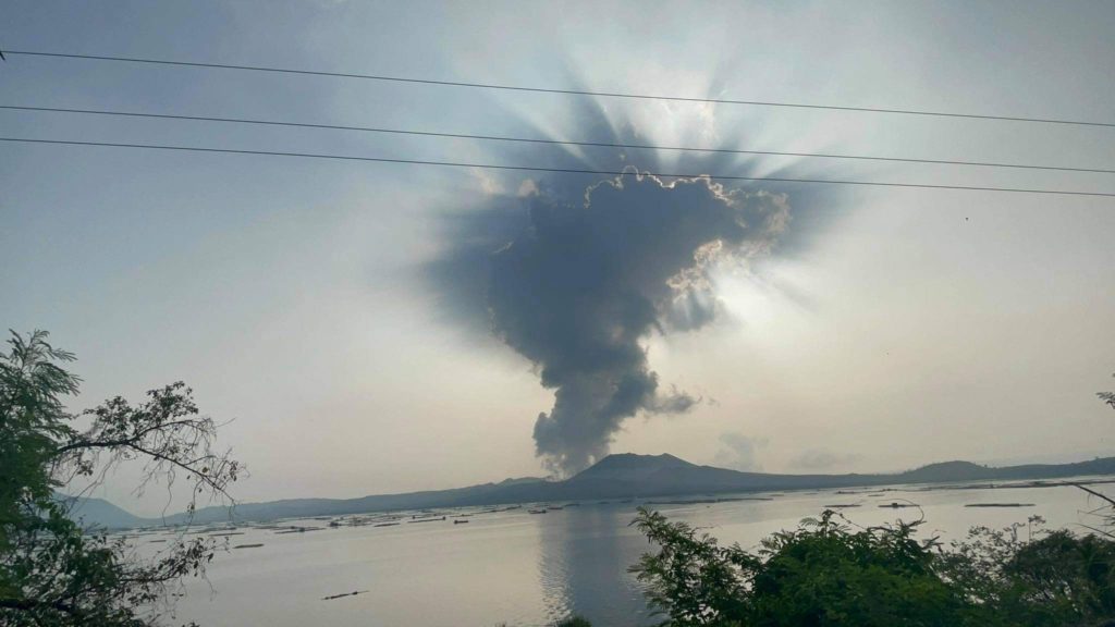
TAAL VOLCANO ADVISORY , 16 December 2024 , 05:45 PM
Notice of elevated sulfur dioxide degassing from Taal Volcano.
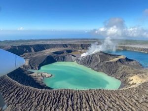
A total of 8,322 tonnes/day of volcanic sulfur dioxide or SO2 gas emission from the Taal Main Crater was measured today, 16 December 2024. Taal has averaged approximately 6,057 tonnes/day for the year and has been continuously degassing voluminous concentrations of SO2 since 2021. Moderate winds have prevented the accumulation of SO2 and no volcanic smog or vog over Taal Caldera could be observed by visual monitors throughout the day. Prolonged exposure to volcanic SO2 can cause irritation of the eyes, throat and respiratory tract. People who may be particularly sensitive are those with health conditions such as asthma, lung disease and heart disease, the elderly, pregnant women and children. For communities that can be affected by volcanic SO2, please be mindful of the following:
1. Limit your exposure. Avoid outdoor activities, stay indoors and shut doors and windows to block out volcanic gas.
2. Protect yourself. Cover your nose, ideally with an N95 facemask. Drink plenty of water to reduce any throat irritation or constriction. If belonging to the particularly sensitive group of people above, watch over yourself and seek help from a doctor or the barangay health unit if needed, especially if serious effects are experienced.
DOST-PHIVOLCS reminds the public that Alert Level 1 prevails over Taal Volcano, which means that it is still in abnormal condition and should not be interpreted to have ceased unrest nor ceased the threat of eruptive activity. At Alert Level 1, sudden steam-driven or phreatic or minor phreatomagmatic eruptions, volcanic earthquakes, minor ashfall and lethal accumulations or expulsions of volcanic gas can occur and threaten areas within TVI. Furthermore, degassing of high concentrations of volcanic SO2 continues to pose the threat of potential long-term health impacts to communities around Taal Caldera that are frequently exposed to volcanic gas. DOST-PHIVOLCS strongly recommends that entry into TVI, Taal’s Permanent Danger Zone or PDZ, especially the vicinities of the Main Crater and the Daang Kastila fissure, must remain strictly prohibited. Local government units are advised to continuously monitor and assess volcanic SO2 exposure of, and potential impacts on, their communities and undertake appropriate response measures to mitigate these hazards.
Source : DOST-PHIVOLCS
Photo : Seys Marasigan / Seys Channel ( 2021)
Indonesia , Ibu :
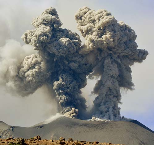
Mount Ibu erupted on Tuesday, 17 December 2024 at 12:51 WIT with the height of the ash column observed at ±400 m above the summit (±1,725 m above sea level). The ash column was grey in colour with a thick intensity, oriented towards the North-East. At the time of writing this report, the eruption was still ongoing.
Seismicity observation:
20 eruption/explosion earthquakes with an amplitude of 2 to 28 mm and an earthquake duration of 31.4 to 81.15 seconds.
13 emission earthquakes with an amplitude of 4 to 20 mm and an earthquake duration of 15 to 44 seconds.
14 harmonic tremors with an amplitude of 2 to 15 mm and an earthquake duration of 27 to 39 seconds.
47 shallow volcanic earthquakes with an amplitude of 2 to 4 mm and an earthquake duration of 12 to 19 seconds.
2 deep volcanic earthquakes with an amplitude of 2 to 8 mm, and an earthquake duration of 10 to 15 seconds.
1 Distant tectonic earthquake with an amplitude of 8 mm, and the duration of the earthquake was 58.6 seconds.
Recommendation
1. Communities around Mount Ibu and visitors/tourists should not carry out activities within a radius of 3 km with a sectoral extension of 5 km towards the crater opening in the northern part of the active crater of Mount Ibu.
2. In the event of ashfall, people who carry out activities outside the house are advised to protect their nose, mouth (mask) and eyes (goggles).
Source et photo : Magma Indonésie.
Colombia , Cumbal :
San Juan de Pasto, December 10, 2024, 5:00 p.m.
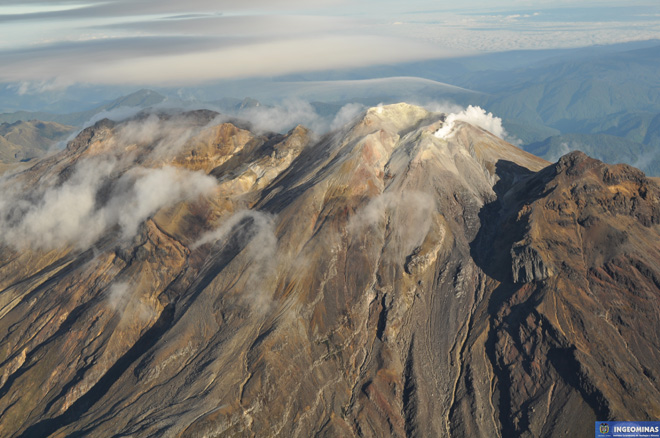
From the monitoring of the activity of the Cumbal Volcanic Complex (CVC), the Colombian Geological Survey (SGC), an entity attached to the Ministry of Mines and Energy, reports that:
During the week of December 3 to 9, 2024, the activity of the volcanic complex showed stable behavior. Compared to the previous week, the main variations in the monitored parameters were:
• A decrease in seismic occurrence was recorded, however, there was a slight increase in the energy released.
• Earthquakes related to the fracturing of rocks within the volcanic edifice continue to be predominant, followed by earthquake recordings associated with fluid movement.
• Some gas emissions were detected, with white columns and variable dispersion, depending on the wind regime in the area, coming from the El Verde fumarole fields, located northeast of the CVC.
• The other volcanic monitoring parameters showed stability.
Based on the above, the SGC recommends closely monitoring the evolution through the weekly bulletins and other information published through our official channels, as well as the instructions of the local and departmental authorities and the National Disaster Risk Management Unit (UNGRD).
Volcanic activity remains in yellow alert status: active volcano with changes in the behavior of the base level of the monitored parameters and other manifestations.
Source : SGC
Photo : Ingeominas.
Peru , Sabancaya :
Analysis period: from December 10, 2024 to December 15, 2024, Arequipa, December 16, 2024
Alert level: ORANGE
The Geophysical Institute of Peru (IGP) reports that the eruptive activity of the Sabancaya volcano continues. During this period, an average of 5 explosions per day have been recorded, with columns of ash and gas up to 1000 m above sea level above the summit of the volcano. Therefore, the volcanic alert level remains at ORANGE
The IGP has recorded and analyzed the occurrence of 103 earthquakes of volcanic origin, associated with the circulation of magmatic fluids inside the Sabancaya volcano, as well as earthquakes related to rock fracturing. An average of 5 explosions per day have been recorded.
Columns of ash and gas have been observed up to 1000 m above sea level above the summit of the volcano. The predominant direction of these emissions has been towards the West and North-West sector of the volcano over a distance of less than 10 KM.
A slight inflation process continues to be recorded in the North sector (around the Hualca Hualca volcano).
Satellite recordings have identified the presence of 5 thermal anomalies, with a maximum value of 2 MW, associated with the presence of a lava body on the surface of the volcano’s crater.
Moderate emissions (1064 tons/day) of sulfur dioxide (SO2) have been observed
RECOMMENDATIONS
• Maintain the orange volcanic alert level.
• Do not approach within a radius of less than 12 km of the crater.
Source : Cenvul
Photo : IGP ( archive)
Guatemala , Fuego :
Atmospheric conditions: Clear
Wind: North-East
Precipitation: 11.6 mm.
Activity:
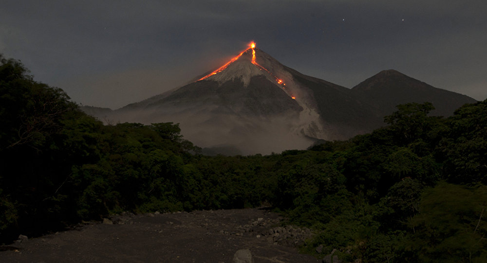
A white degassing fumarole is reported at an altitude of 4,200 metres above sea level. Between 5 and 10 explosions of weak to moderate characteristics are generated per hour, lifting columns of gas and ash to heights of 4,600 to 4,800 metres above sea level (15,092 to 15,748 ft), which move towards the South-West and West for distances of up to 30km.
At night, incandescent pulses are observed rising between 100 and 150 meters above the crater level, covering the crater area with fragments of incandescent rock. The Fuego Volcano Observatory (OVFGO) reports the collapse and descent of volcanic material from the crater rim. Ash falls on Panimache I and II, Sangre de Cristo, Finca Palo Verde, Yepocapa and others.
Source : Insivumeh
Photo : Moises Castillo / Sputnik.

