December 08 , 2024.
Indonesia , Ibu :
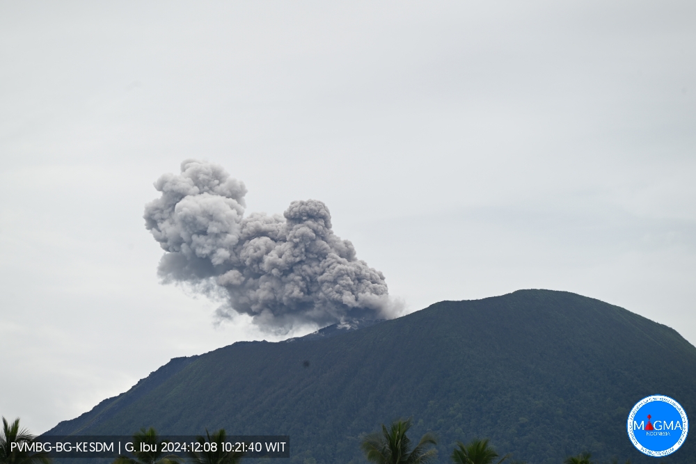
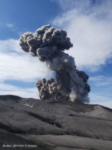
An eruption of Mount Ibu occurred on Sunday, 8 December 2024 at 10:21 WIT with the height of the ash column observed at ± 600 m above the summit (± 1925 m above sea level). The ash column was observed to be grey in colour with a thick intensity, oriented towards the North-East. This eruption was recorded on a seismograph with a maximum amplitude of 28 mm and a duration of 70 seconds.
Seismicity observation
15 eruption earthquakes with an amplitude of 24 to 28 mm and a seismic duration of 42 to 79 seconds.
25 emission earthquakes with an amplitude of 3 to 17 mm and an earthquake duration of 20 to 49 seconds.
2 harmonic tremors with an amplitude of 2 to 5 mm and an earthquake duration of 38 to 72 seconds.
67 shallow volcanic earthquakes with an amplitude of 2 to 14 mm and a seismic duration of 4 to 18 seconds.
5 deep volcanic earthquakes with an amplitude of 2 to 19 mm, and an earthquake duration of 12 to 16 seconds.
6 distant tectonic earthquakes with an amplitude of 4 to 28 mm, and the duration of the earthquake was 67 to 257 seconds.
Recommendation
1. Communities around Mount Ibu and visitors/tourists should not carry out activities within a radius of 4 km, with a sectoral extension of 5.5 km towards the crater opening in the northern part of the active crater of Mount Ibu.
2. In the event of ashfall, people carrying out activities outside the house are advised to use protective goggles for the nose, mouth (mask) and eyes (glasses).
Source : Magma Indonésie.
Chile , Copahue :
Seismology
The seismological activity of the period was characterized by the recording of:
9 VT-type seismic events, associated with rock fracturing (Volcano-Tectonic). The most energetic earthquake had a Local Magnitude (ML) value equal to 0.5, located 6.0 km to the East-Northeast of the volcanic edifice, at a depth of 4.9 km from the crater.
1 LP-type seismic event, associated with fluid dynamics within the volcanic system (Long Period). The earthquake size evaluated from the Reduced Displacement (DR) parameter was equal to 0.1 cm2.
Fluid Geochemistry
The sulfur dioxide (SO2) emissions data obtained by the Differential Optical Absorption Spectroscopy (DOAS) equipment, corresponding to the Mellizas station, installed 6 km east-northeast of the active crater, presented an average value of 529 ± 79 t/d, with a maximum value of 907 t/d on November 24. Depending on the activity of the volcano, these values remain at levels considered low.
No anomalies have been reported in sulfur dioxide (SO2) emissions into the atmosphere in the area near the volcano, according to data published by the Tropopheric Monitoring Instrument (TROPOMI) and the Ozone Monitoring Instrument (OMI) Sulphur Dioxide Group.
Thermal anomalies by satellites
During the period, no thermal alerts were recorded in the area associated with the volcanic system, according to the analytical processing of Sentinel 2-L2A satellite images, in combination with false color bands.
Geodesy
Based on the data obtained through the GNSS network, a slight change in the process is observed, from a deflationary process to an inflationary process, reaching a maximum of 1.26 cm/month.
Surveillance cameras
The images provided by the fixed cameras, installed near the volcano, recorded degassing columns with a maximum height of 280 m above the crater level. During the fortnight, no presence of pyroclasts was observed in the gas columns, nor new deposits of materials, nor any nocturnal incandescence recorded.
Satellite geomorphological analysis
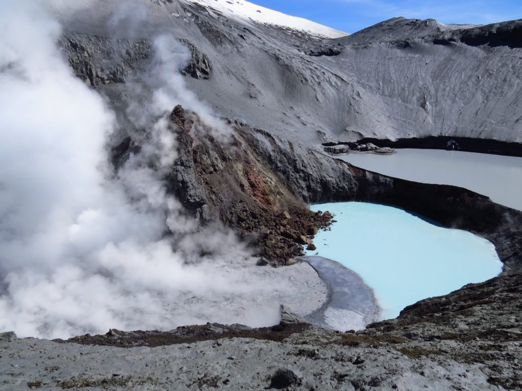
Based on the photo-interpretation of the Planet Scope and Skysat Collect satellite images, the growth of the lake contained in the active area of the crater stands out, with an area of 9,340 m2 as of November 30.
No new pyroclast fall deposits are observed due to the occurrence of explosions during the fortnight.
In general, volcanic activity has remained low. Both surface expressions and seismicity records are consistent with a volcanic system that gradually suggests a return to a phase of greater equilibrium. Remote sensing analysis indicates a greater restitution of the crater lake, indicating a lower temperature in the superficial part of the volcanic system. A slight change in deformation has been identified, with a cyclical characteristic that has been observed in previous years. Together, these parameters and a long-term assessment analysis suggest that the process that occurred in the previous weeks was short-lived. It is therefore modified as follows:
GREEN TECHNICAL ALERT: Active volcano with stable behavior – There is no immediate risk
Observation:
Given the behavior of this volcanic system observed for 8 years, sudden, small explosions without precursors affecting the immediate surroundings of the active crater cannot be ruled out. However, in the context of its base level, this type of event has not been frequent, which is why it is considered to have a low probability of occurrence. The dangers associated with this minor activity consist of the ejection of ballistic pyroclasts, the emission of ash and volcanic gases.
Source : Sernageomin
Photo : Archive 2018, auteur inconnu
Colombia , Cumbal :
San Juan de Pasto, December 3, 2024, 2:45 p.m.
From the monitoring of the activity of the Cumbal Volcanic Complex (CVC), the Colombian Geological Survey (SGC), an entity attached to the Ministry of Mines and Energy, reports that:
In the week of November 26 to December 2, 2024, the activity of the volcanic complex showed a slight increase. Compared to the previous week, the main variations in the monitored parameters were:
• Although the seismic occurrence showed a significant increase, the seismic energy released recorded slightly lower levels. The low energy levels of the recorded earthquakes are highlighted.
• The predominance of earthquakes associated with the fracture of rocks within the volcanic complex was maintained, followed by the recording of earthquakes associated with the movement of fluids.
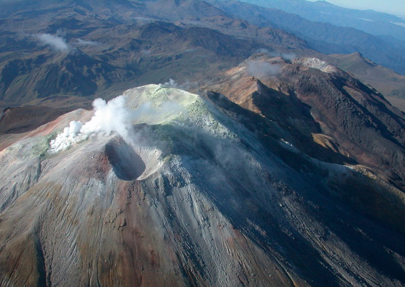
• Gas emissions were detected, with white columns and variable dispersion, depending on the wind regime in the area, from the El Verde fumarole fields, located northeast of the CVC.
• The other volcanic monitoring parameters showed stability.
Based on the above, the SGC recommends closely monitoring the evolution through the weekly bulletins and other information published through our official channels, as well as the instructions of the local and departmental authorities and the National Disaster Risk Management Unit (UNGRD).
Volcanic activity remains in yellow alert status: active volcano with changes in the behavior of the base level of the monitored parameters and other manifestations.
Source et photo: SGC
Ecuador , Sangay :
DAILY STATE REPORT OF SANGAY VOLCANO , Saturday, December 07, 2024 .
Information Geophysical Institute – EPN.
Surface Activity Level: Moderate , Surface Trend: No Change
Internal Activity Level: High , Internal Trend: Descending
Seismicity: From December 06, 2024, 11:00 a.m. to December 07, 2024, 11:00 a.m. :
Seismicity:
Below is the count of seismic events recorded at the reference station
Explosion (EXP): 15
Rainfall/Lahars:
Since yesterday, the presence of rain in the area of the volcano or its surroundings, which could generate mud and debris flows, has not been recorded by surveillance cameras. **In the event of heavy rain, it could remobilize the accumulated materials, generating mud and debris flows that would descend the sides of the volcano and flow into adjacent rivers.
Emissions/ash column:
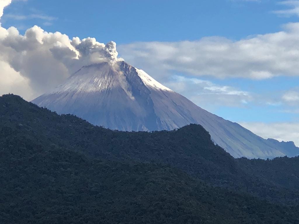
Due to poor weather conditions, it was not possible to observe gas and ash emissions, neither with the surveillance camera network nor with satellite images. On the other hand, the VAAC agency in Washington has not published activity reports for this volcano either.
Observation:
Since yesterday afternoon until the publication of this report, the volcano has remained completely cloudy
Alert level: yellow
Source : IGEPN
Photo : Carlos Riera ( 01/2024).
Alaska , Great Sitkin :
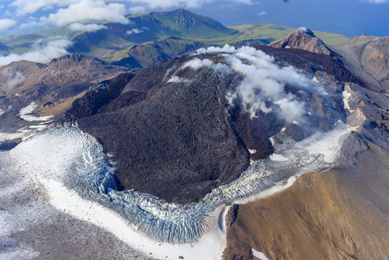
Lava continues to erupt slowly at Great Sitkin Volcano, and small earthquakes associated with this ongoing eruption continue at a low rate. Clouds obscured observations of the volcano in satellite and web camera imagery.
The current eruption of Great Sitkin Volcano began with a single explosive event in May 2021. The ongoing eruption of lava at the summit began shortly afterward, in July 2021. The volcano is monitored using local seismic and infrasound sensors, satellite data and web cameras, and regional infrasound and lightning networks.
Great Sitkin Volcano is a basaltic andesite volcano that occupies most of the northern half of Great Sitkin Island, a member of the Andreanof Islands group in the central Aleutian Islands. It is located 26 miles (42 km) east of the community of Adak. The volcano is a composite structure consisting of an older dissected volcano and a younger parasitic cone with a ~1 mile (1.6 km)-diameter summit crater. A steep-sided lava dome, emplaced during the 1974 eruption, occupies the center of the crater. That eruption produced at least one ash cloud that likely exceeded an altitude of 25,000 ft (7.6 km) above sea level. A poorly documented eruption occurred in 1945, also producing a lava dome that was partially destroyed in the 1974 eruption. Within the past 280 years a large explosive eruption produced pyroclastic flows that partially filled the Glacier Creek valley on the southwest flank.
Source : AVO
Photo : Loewen, Matt / Alaska Volcano Observatory / U.S. Geological Survey.

