December 05 , 2024.
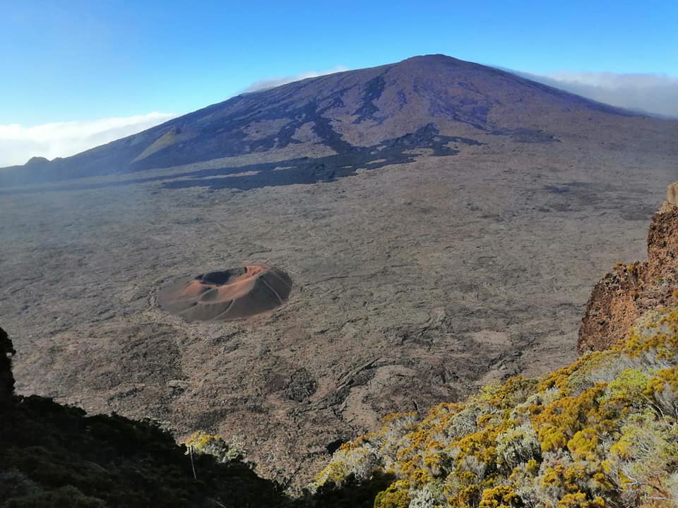
Réunion Island , Piton de la Fournaise :
Seismicity
In November 2024, the OVPF-IPGP recorded in the Piton de la Fournaise massif in total:
• 25 superficial volcano-tectonic earthquakes (0 to 2.5 km above sea level) under the summit craters;
• 10 deep earthquakes (below sea level);
• 11 long-period earthquakes;
• 167 landslides.
The month of November 2024 was marked by low seismicity under the Piton de la Fournaise with only 25 superficial volcano-tectonic earthquakes and 1 deep earthquake recorded.
Only 2 superficial volcano-tectonic earthquakes and 1 deep earthquake could be located respectively under the Dolomieu crater and under the eastern flank. The others – of lower magnitudes – could not be located.
Numerous (167) landslides in the Dolomieu Crater, at the level of the ramparts of the Enclos Fouqué and at the Cassé de la Rivière de l’Est were also recorded.
Deformation
After a resumption in February 2024, the inflation of the edifice stopped at the beginning of April 2024. Since then, a slight deflation has been visible in the long term.
SO2 flux in the air in the Enclos Fouqué by DOAS method
SO2 fluxes in the air have remained low, close to or below the detection threshold.
Assessment
Since April 2024, magma replenishment and pressurization of the superficial reservoir have ceased.
In November 2024, seismicity remained low with only 25 superficial volcano-tectonic earthquakes and 10 deep earthquakes recorded. A slight summit deflation as well as a decrease in CO2 fluxes in the ground are still observed
Source : OVPF
Photo : Nath Duverlie
Italy , Stromboli :
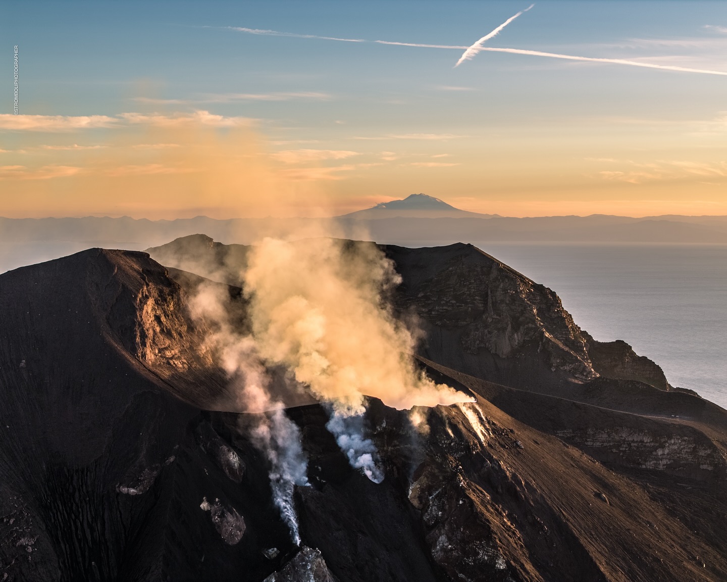
Statement on the activity of Stromboli, 04 December 2024, 10:54 (09:54 UTC).
The National Institute of Geophysics and Volcanology, Osservatorio Etneo, communicates that according to the analysis of the images of the surveillance cameras, the effusive activity of the lava overflow from the area of the North crater reported in the previous statement has gradually dried up since early morning. An ordinary explosive activity and a modest activity of spattering persist in the North area of the crater.
From a seismic point of view, the average amplitude of volcanic tremor is currently at high values. No significant changes have been reported in the frequency of occurrence and amplitude of explosion earthquakes.
Concerning deformations, the GNSS network and the STDF inclinometer station do not record significant variations.
Further updates will be communicated shortly.
Source : INGV.
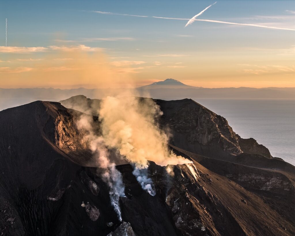
Photo : Stromboli stati d’animo / Sebastiano Cannavo
Indonesia , Lewotobi Laki-laki :
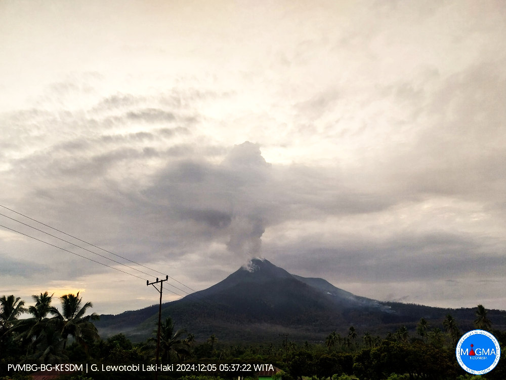
An eruption of Lewotobi Laki occurred on Thursday, 5 December 2024, at 05:30 WITA with the height of the ash column observed at ±1200 m above the summit (±2784 m above sea level). The ash column was observed to be white to grey in colour with a light to thick intensity, oriented towards the north. This eruption was recorded on a seismograph with a maximum amplitude of 13.3 mm and a duration of 396 seconds.
The Pusat Vulkanologi dan Mitigasi Bencana Geologi (PVMBG) reported that eruptive activity continued at Lewotobi Laki-laki during 16 November-3 December. The average heights of eruption plumes decreased to 0.5-2 km above the summit during 16-25 November compared to averages of 1-3 km recorded the week before. There were fewer eruptive events, though some were accompanied by notable ash plumes and rumbling sounds. A lava flow on the WNW flank was 3.8 km long and one on the NE flank was around 2 km long; neither flow was advancing. The eruption level remained at a high level, though was decreasing. On 26 November the exclusion zone was modified, prohibiting entry within a radius of 7 km from the center of Laki-laki in all directions. During 27-29 November daily white-and-gray ash plumes rose 1-3 km above the summit and drifted SW, W, NW, and N. White-and-gray ash plumes rose 0.1-1.5 km above the summit and drifted in multiple directions during 30 November-3 December. According to a news report the Frans Xavier Seda Airport (252 km W) reopened after being closed since 17 July due to volcanic ash; ticket sales have resumed for flights starting on 16 December. In November the eruption had affected more than 10,000 residents and caused 10 deaths. The Alert Level remained at 4 (on a scale of 1-4).
Sources: Pusat Vulkanologi dan Mitigasi Bencana Geologi (PVMBG, also known as CVGHM), Antara News, Antara News , GVP.
Photo : Magma Indonésie.
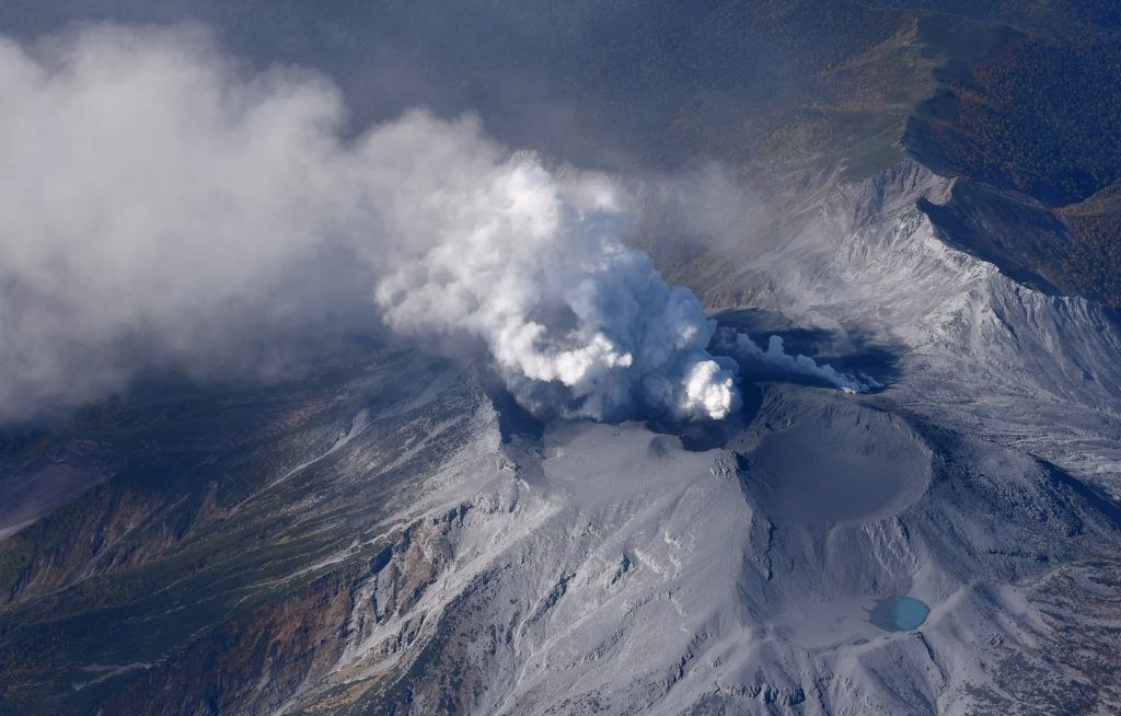
Japan , Suwanosejima :
The Japan Meteorological Agency (JMA) reported that eruptive activity at Suwanosejima’s Ontake Crater continued during 25 November-2 December. Crater incandescence was observed nightly in webcam images. An explosion was recorded at 01h27 on 28 November; no details of emissions were provided. Eruptive events at 21h33 on 30 November and then at 06h52 and 10h53 on 1 December produced ash plumes that rose 1.2-1.3 km above the crater rim and drifted SE on the 30th and remained above the summit on the 1st. The Alert Level remained at 2 (on a 5-level scale) and the public was warned to stay at least 1.5 km away from the crater.
The 8-km-long island of Suwanosejima in the northern Ryukyu Islands consists of an andesitic stratovolcano with two active summit craters. The summit is truncated by a large breached crater extending to the sea on the E flank that was formed by edifice collapse. One of Japan’s most frequently active volcanoes, it was in a state of intermittent Strombolian activity from Otake, the NE summit crater, between 1949 and 1996, after which periods of inactivity lengthened. The largest recorded eruption took place in 1813-14, when thick scoria deposits covered residential areas, and the SW crater produced two lava flows that reached the western coast. At the end of the eruption the summit of Otake collapsed, forming a large debris avalanche and creating an open collapse scarp extending to the eastern coast. The island remained uninhabited for about 70 years after the 1813-1814 eruption. Lava flows reached the eastern coast of the island in 1884. Only about 50 people live on the island.
Sources : Japan Meteorological Agency (JMA) , GVP.
Photo : Ontake , Masanori Genko
Hawaii , Kilauea :
Tuesday, December 3, 2024, 12:08 PM HST (Tuesday, December 3, 2024, 22:08 UTC)
19°25’16 » N 155°17’13 » W,
Summit Elevation 4091 ft (1247 m)
Current Volcano Alert Level: ADVISORY
Current Aviation Color Code: YELLOW
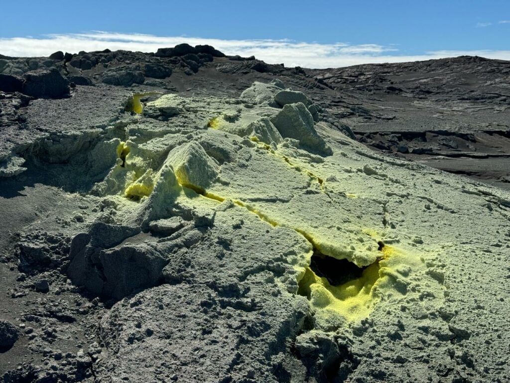
Summit Observations:
Earthquake activity at Kīlauea’s summit region has increased in the past week, going from approximately 10 located earthquakes per day to 20 per day. Short-lived flurries of small earthquakes, with rates of about 6 events per hour, were observed on November 29 and December 3. Activity has generally clustered within Kaluapele and the south caldera region. Overall, there were approximately 75 earthquakes at the summit, most below magnitude-2.1. Summit tiltmeters and GPS stations have recorded steady inflation in the summit and south caldera regions. This inflation is also seen in recent InSAR measurements from satellite observation. The most recent sulfur dioxide (SO2) emission rate measurement from the summit was approximately 68 +/- 24 tonnes per day on October 17, a value representative of noneruptive conditions at Kīlauea.
Rift Zone Observations:
The upper Southwest Rift Zone has seen a minor increase in seismicity, with approximately 25 located earthquakes below magnitude-2.0, most of which occurred over the past two days. Shallow earthquake counts in the upper East Rift Zone (ERZ) have increased over the past week, averaging between 25-60 located earthquakes per day, most of which were below magnitude-2.5. Activity in the middle ERZ was similar to the previous week, with approximately 75 located earthquakes, between Makaopuhi and Puʻuʻōʻō, all below magnitude-2.0. Deformation in the ERZ remains steady.
Source : HVO
Photo : USGS / M. Patrick. (07/2024)

