December 1 , 2024.
Indonesia , Dukono :
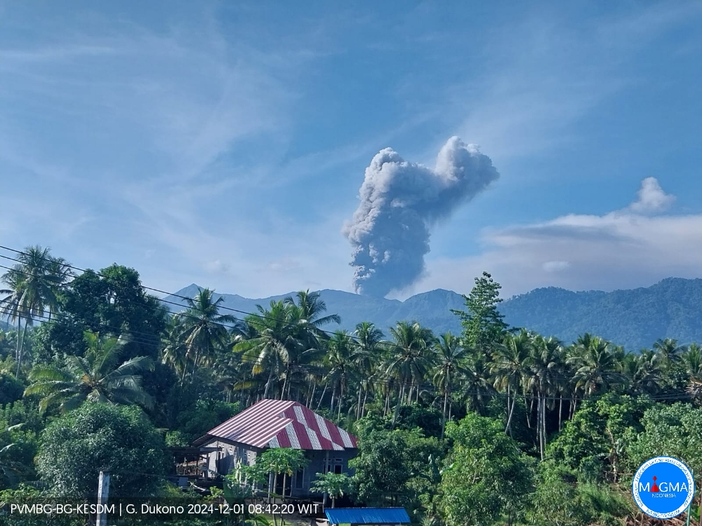
An eruption of Mount Dukono occurred on Sunday, 1 December 2024 at 08:27 WIT with the height of the ash column observed at ±1,200 m above the summit (±2,287 m above sea level). The ash column was observed to be white to grey in colour with a thick intensity, oriented towards the northwest. This eruption was recorded on a seismograph with a maximum amplitude of 20 mm and a duration of 276.93 seconds.
Seismicity observation:
86 eruption/explosion earthquakes with an amplitude of 7 to 34 mm and a duration of 31.51 to 646.85 seconds.
1 local tectonic earthquake with an amplitude of 34 mm, and earthquake duration 90.55 seconds.
6 deep tectonic earthquakes with an amplitude of 17-34 mm, and earthquake duration 67.68-131.41 seconds.
1 continuous tremor with an amplitude of 1 to 6 mm, dominant value 6 mm.
Recommendation
(1) People around Mt. Dukono and visitors/tourists are advised not to do any activities, climb or approach the Malupang Warirang Crater within a radius of 3 km.
(2) Since eruptions with volcanic ash occur periodically and the distribution of ash follows the direction and speed of the wind, so the landing area of the ash is not fixed, it is recommended that people around Mount Dukono always carry masks/nose and mouth covers to use when needed to avoid the threat of volcanic ash on the respiratory system.
Source et photo : Magma Indonésie.
Alaska , Spurr :
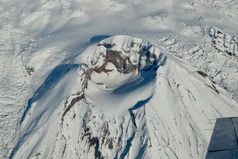
Unrest continues at Mount Spurr. Small, shallow earthquakes underneath the summit region continue at a low rate. No activity was observed in clear webcam or satellite views over the past day. AVO continues to closely monitor activity at Mount Spurr for signals that would indicate that the volcano is moving closer to an eruption.
Based on previous eruptions, changes from current activity in the earthquakes, ground deformation, summit lake, and fumaroles would be expected if magma began to move closer to the surface. Therefore, it is very likely that if an eruption were to occur it would be preceded by additional signals that would allow advance warning.
Local seismic, infrasound, web cameras, and GNSS stations are used to monitor Mount Spurr along with regional infrasound, lightning networks and satellite data.
Source : AVO
Photo : Lyons, John / Alaska Volcano Observatory / U.S. Geological Survey . (10/ 2020)
Colombia , Galeras :
San Juan de Pasto, November 26, 2024, 2:30 p.m.
From the monitoring of the activity of the Galeras volcano, the Colombian Geological Survey (SGC), an entity attached to the Ministry of Mines and Energy, reports that:
During the week of November 19 to 25, 2024, the activity of the volcano maintained a stable behavior. Compared to the previous week, the main variations in the monitored parameters were:
• Within levels considered low, a decrease in occurrence and an increase in the seismic energy released were recorded.
• The seismicity associated with the fracture of the material inside the volcano continues to dominate, both in terms of occurrence and energy.
• The fracture seismicity was mainly located near the main crater, at distances of less than 1 km, with depths of less than 2 km from the summit (4200 m). Other earthquakes were located scattered throughout the volcanic region at distances of up to 12 km, with depths of up to 8 km from the summit (4,200 m). The maximum magnitude of this type of earthquake was 0.8.
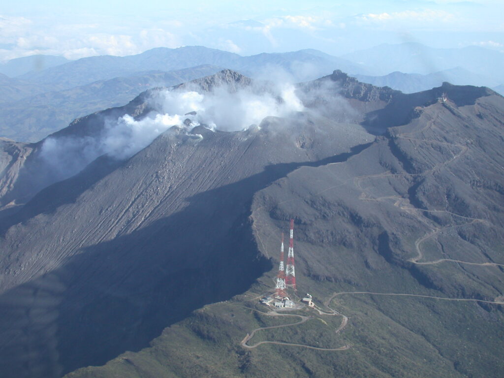
• Small gas emissions were observed in the fumarole fields of Las Chavas, to the West; and El Paisita, to the North of the active cone, with white columns, of low height and variable dispersion due to the action of the winds.
• The other volcanic monitoring parameters showed stability.
Based on the above, the SGC recommends to closely monitor the evolution through the weekly bulletins and other information published through our official channels, as well as the instructions of the local and departmental authorities and the National Unit for Disaster Risk Management (UNGRD).
The volcanic activity remains in yellow alert status: active volcano with changes in the behavior of the base level of the monitored parameters and other manifestations.
Source et photo : SGC
Ecuador , Sangay :
DAILY STATE REPORT OF SANGAY VOLCANO , Saturday, November 30, 2024 .
Information Geophysical Institute – EPN.
Surface Activity Level: Moderate , Surface Trend: No Change
Internal Activity Level: High , Internal Trend: Descending
Seismicity: From November 29, 2024, 11:00 a.m. to November 30, 2024, 11:00 a.m. :
Seismicity:
Below is the count of seismic events recorded at the reference station
Explosion (EXP): 50
Rainfall / Lahars:
Since yesterday, the presence of rain in the area of the volcano or its surroundings, which could generate mud and debris flows, has not been recorded by surveillance cameras. **In the event of heavy rain, it could remobilize the accumulated materials, generating mud and debris flows that would descend the sides of the volcano and flow into adjacent rivers.
Emissions / Ash Column:
Since yesterday, due to unfavorable weather conditions, it has not been possible to observe gas and ash emissions through surveillance cameras and satellite images. However, the W-VAAC agency has issued 4 reports of intermittent bursts of gas and ash between 560m and 1200m above the crater level, in a West and West-Southwest direction, in the last 24 hours.
Observation:
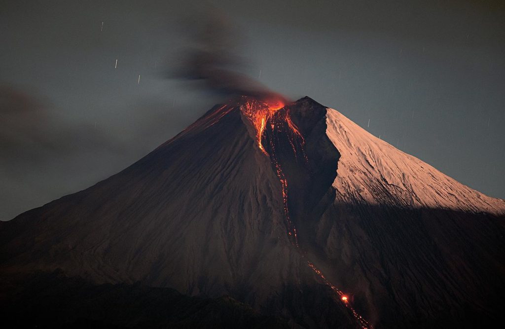
Since yesterday, due to unfavorable weather conditions, no incandescence episodes have been observed thanks to the monitoring of surveillance cameras. Similarly, the volcano has remained cloudy most of the time.
Alert level: yellow
Source : IGEPN
Photo : Eqphos_fotografía ( 09/2022)
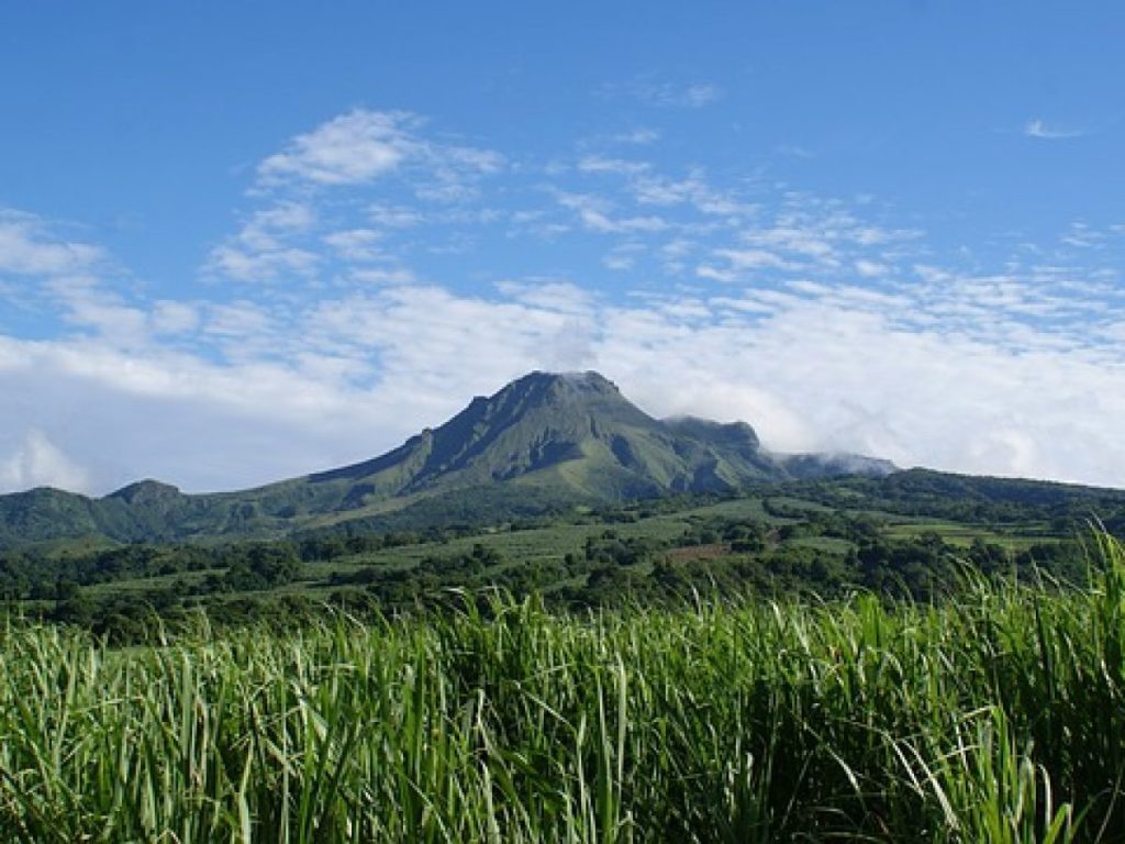
La Martinique , Mount Pelée :
Weekly report / Institut de physique du globe de Paris, Observatoire volcanologique et sismologique de Martinique
Saint-Pierre, November 29, 2024 at 4:00 p.m. local time (GMT-4)
Volcanic activity is decreasing this week with 3 earthquakes of volcanic origin observed.
Between November 22, 2024 at 4:00 p.m. (UT) and November 29, 2024 at 4:00 p.m. (UT), the OVSM recorded 3 low-energy volcano-tectonic earthquakes. These earthquakes were clearly identified as coming from one of the well-known seismically active zones at Mount Pelée, located between 1.0 and 1.4 km deep below the summit of the volcano. The superficial seismicity of the volcano-tectonic type is associated with micro-fracturing in the volcanic edifice in connection with the global reactivation of the volcano observed since the end of 2018.
No earthquake was felt by the population.
The previous week, the OVSM had recorded 62 earthquakes of volcanic origin. As of November 29, 2024 and during the last 4 weeks, the OVSM has therefore observed a total of 89 volcanic earthquakes, or an average of 22 to 23 earthquakes per week.
During the volcanic reactivation phases of volcanoes similar to Mount Pelée, it is usual to observe seismic activity that varies in intensity and frequency.
For more details on observations and interpretations of volcanic activity over the longer term, refer to the OVSM monthly bulletins.
The alert level is currently YELLOW: vigilance.
Source : Direction de l’OVSM-IPGP.
Photo : Antilles prestige

