August 17 , 2024.
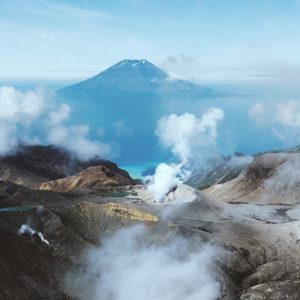
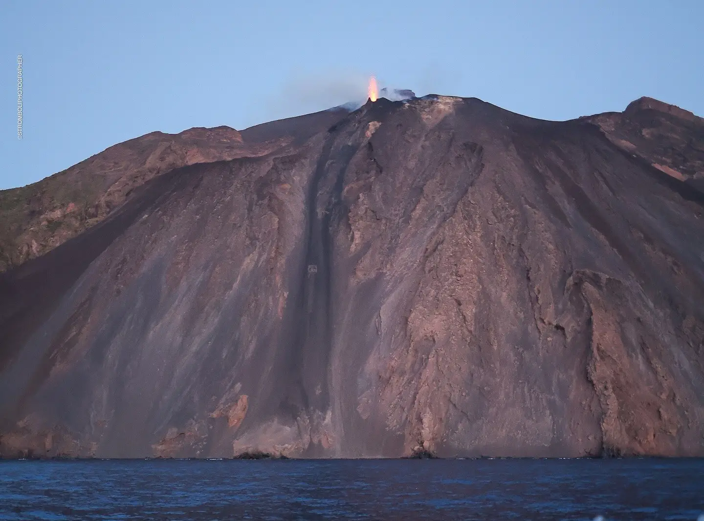
Italy , Stromboli :
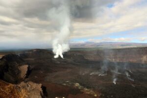
16 August 2024, 20:27 (18:27 UTC) Press release on the activity of Etna.
The National Institute of Geophysics and Volcanology, Etna Observatory, communicates that observations made from surveillance camera images and by INGV personnel in the field indicate that the lava overflow fueled by the intense spattering activity of the North Crater area (press release updated at 18:59 UTC on 15 August), has stopped and is currently cooling. Spattering and Strombolian activity in the northern crater area continue at a variable rate; the Central-South Crater area is fueling Strombolian explosions.
The volcanic tremor, after reaching its maximum values yesterday late afternoon, has gradually decreased, while remaining at high values.
The signals from the GNSS and clinometric networks, monitoring ground deformations, do not show significant variations.
Further updates will be communicated shortly.
Source : INGV
Photo : Stromboli stati d’animo / Sebastiano Cannavo. ( 06/2024)
Iceland , Reykjanes Peninsula :
Magma intrusion and a possible eruption on the Sundhnúkar crater row can begin at any time
Seismicity is steady, About 60-90 earthquakes per day
Updated 16 August at 14:50 UTC
Uplift and magma accumulation at a steady rate for the last few days
Volume of magma under Svartsengi estimated to be greater than before the last eruption on May 29
Seismicity steady with about 60-90 earthquakes recorded per day
Seismicity has been fairly steady in recent days, with about 60 to 90 earthquakes recorded per day. Most of the earthquakes are small, under a magnitude 1.0, in the area from Mt. Stóra-Skógfell to Grindavík. This is similar to the activity observed in the past two weeks.
.
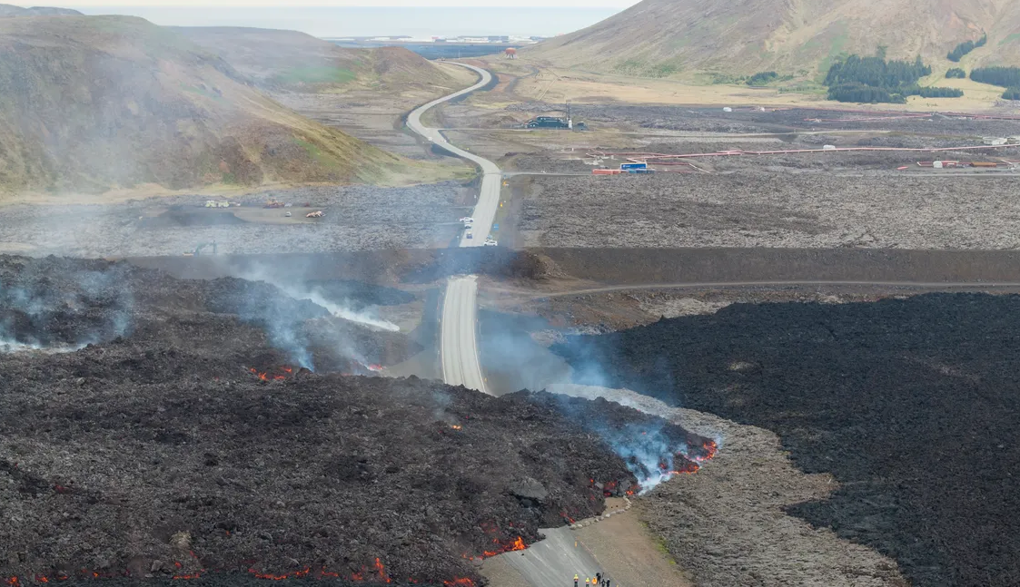
Uplift and magma accumulation have been occurring at a fairly steady rate in recent days. Model calculations also show that the volume of magma under Svartsengi is now estimated to be greater than it was before the last eruption, which began on May 29. Before the last eruption, magma accumulation continued for two weeks after reaching previous thresholds before an eruption began.
When comparing the activity before previous eruptions and magma intrusions, the current seismic activity along with the uplift shows clear signs that a magma intrusion and even an eruption could begin at any time. Based on the last eruption, continued magma accumulation could potentially be required for an additional 2-3 weeks before a new eruption starts.
Source : IMO
Photo : RÚV – Ragnar Visage ( 06/2024)
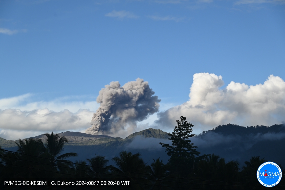
Indonesia , Dukono :
An eruption of Mount Dukono occurred on Saturday, 17 August 2024 at 08:19 WIT with the height of the ash column observed at ± 600 m above the summit (± 1687 m above sea level). The ash column was observed to be white to grey in colour with a thick intensity, oriented towards the West. At the time of writing this report, the eruption was still ongoing.
Seismicity Observation:
138 eruption earthquakes with an amplitude of 4 to 27 mm and an earthquake duration of 33.39 to 66.47 seconds.
8 deep tectonic earthquakes with an amplitude of 7-14 mm, and earthquake duration 58.27-88.08 seconds.
1 Continuous Tremor with an amplitude of 2-3 mm, dominant value 2 mm.
RECOMMENDATION
(1) People around Mt. Dukono and visitors/tourists are advised not to do any activities, climb or approach the Malupang Warirang Crater within a radius of 3 km.
(2) Considering that eruptions with volcanic ash occur periodically and the distribution of ash follows the direction and speed of the wind, so the landing area of ash is not fixed, it is recommended that the community around Mount Dukono always equip themselves with nose masks and mouth covers to use when needed to avoid the threat of volcanic ash on the respiratory system.
Source et photo : Magma Indonésie .
Colombia , Galeras :
Pasto, August 13, 2024, 4:15 p.m.
From the monitoring of the activity of the Galeras volcano, the Colombian Geological Survey (SGC), an entity attached to the Ministry of Mines and Energy, reports that:
During the week of August 6 to 12, 2024, the activity of the volcano maintained a stable behavior. Compared to the previous week, the main variations in the monitored parameters were:
● Increase in the occurrence and released seismic energy.
● The predominance of seismicity associated with the fracturing of rock materials continues.
● Most of the fracture earthquakes were located close to the volcanic summit, at distances of less than 1 km, with depths of up to 2 km from the summit (4,200 m) and magnitudes of less than 1. The other earthquakes were located scattered around the area of influence of the Galeras volcano, at distances and depths of up to 9 km and with a maximum magnitude of 1.7.
● Small gas emissions continued, mainly from the fumaroles of Las Chavas, to the west; El Paisita, to the north of the crater; and from the active cone area, with white gas columns, of variable height and dispersion due to the action of the winds.
● The other volcanic monitoring parameters showed stability.
Based on the above, the SGC recommends closely monitoring the evolution through weekly bulletins and other information published through our official channels, as well as instructions from local and departmental authorities and the National Disaster Risk Management Unit (UNGRD).
Volcanic activity remains in yellow alert status: active volcano with changes in the behavior of the base level of the monitored parameters and other manifestations.
Source et photo : SGC
Guatemala , Santiaguito :
Atmospheric conditions: Clear
Wind: East.
Precipitation: 2.6 mm.
Activity:
A weak degassing is observed above the Caliente dome. In the early morning, 3 weak explosions were reported, which caused incandescence and avalanches in a West and Southwest direction. It is possible that moderate explosions will be generated, which could form a column of gas and ash up to 3,400 meters above sea level (10,498 feet). This ash can disperse 10 to 30 km to the West, causing the fall of fine ash in the community of San Marcos Palajunoj and Loma Linda.
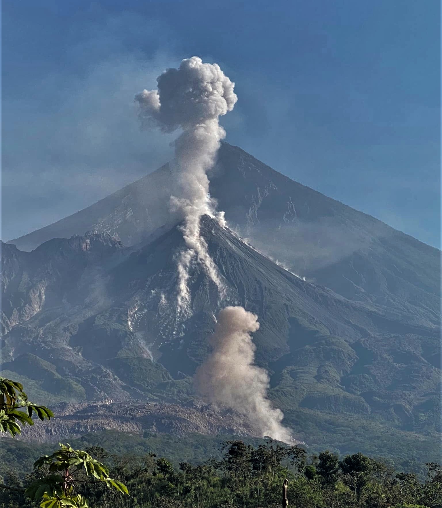
Strong avalanches and audible noises are possible several kilometers from the volcanic edifice. The occurrence of moderate to strong block and ash flows is not excluded, as well as possible pyroclastic flows over long distances in different directions, therefore, it is necessary to follow the recommendations of the special bulletin BESAN-004-2024.
Source : Insivumeh
Photo : Armando Pineda ( archive 02/2023)