February 25 , 2024.
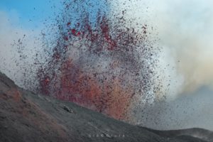
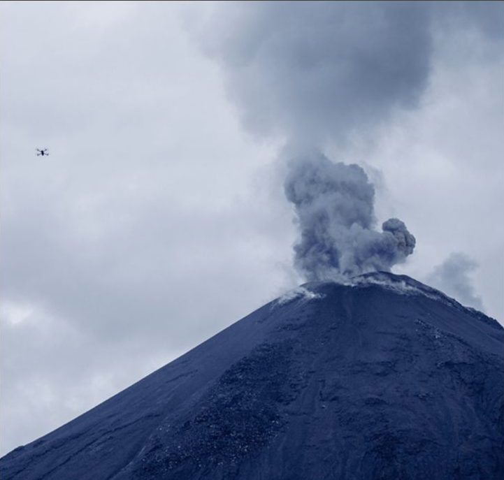
Alaska , Gareloi :
Unrest continues at Mount Gareloi. Seismicity has declined over the past several days but remains slightly elevated with small low frequency earthquakes observed. No activity was observed in partly cloudy satellite and webcam images over the past day.
Mount Gareloi persistently emits magmatic gases from a fumarole field on the south crater and commonly exhibits low-level seismic activity.
The current increase in seismicity likely reflects a change to the magmatic-hydrothermal system, but it is not clear that the likelihood of a volcanic eruption has increased. AVO will continue to monitor activity to determine if the recent changes are related to influx of new magma or other changes to the magmatic system.
Mount Gareloi is monitored by a local seismic and infrasound network, satellite data, and regional infrasound and lightning-detection networks.
Source : AVO
Photo : Read, Cyrus
Indonesia , Gamalama :
Press release on the activity of GAMALAMA.
Geographically, the Gamalama volcano in the north of the Moluccas is located at 0°48′ N and 127°19′ E with a height of 1715 m above sea level. Administratively, it includes the city area from Ternate, in the province of North Moluccas. Mount Gamalama is an active volcano with a recorded eruption history since 1538 with an eruption interval of between 1 and 50 years. Mount Gamalama is monitored visually and instrumentally from the Volcano Observation Post (PGA).
The seismicity of Mount Gamalama since January 2023 is dominated by distant tectonic earthquakes, local tectonic earthquakes and deep volcanic earthquakes (VA). Deep volcanic earthquakes (VA) are generally recorded at 2 to 3 events per day. The smoke escaping from the crater is generally observed to be white, thin to thick, at a height of 5 to 300 meters above the summit. The current activity level has been at Level II (WASPADA) since March 10, 2015. Eruptions typically occur in the central crater with relatively short eruption precursors. The last eruption took place on October 4, 2018, beginning with the recording of 7 volcanic earthquakes in the hour before the eruption. The height of the eruptive column reached 250 meters from the summit.

The latest developments on the activities of G. Gamalama until February 23, 2024 at 10:00 WIT are as follows:
There was a significant increase in deep volcanic (VA) earthquakes on February 22, 2024. Earthquake records from February 22, 2024 from 00:00 to 24:00 WIT recorded 14 deep volcanic earthquakes with an amplitude of 4 at 12mm. This increase in deep volcanic earthquakes shows an increase in pressure inside the body of Mount Gamalama due to increased magmatic activity, but so far no surface earthquakes have been recorded.
Seismicity on February 23, 2024 from 00:00 to 08:30 WIT recorded 3 emissions earthquakes, 4 deep volcanic earthquakes, 2 local tectonic earthquakes and 5 distant tectonic earthquakes. Crater emission activity showed thick white crater smoke from a height of 100 to 400 meters, with weak to strong northerly winds.
From February 1 to 22, 2024, 26 emissions earthquakes were recorded, 2 harmonic tremors, 1 Tornillo earthquake, 1 shallow volcanic earthquake, 34 deep volcanic earthquakes, 57 tectonic earthquakes local (TL), 181 distant tectonic earthquakes (TJ) and 2 lahar earthquakes. Emission activity from the crater was observed, emitting fine to medium white crater smoke from a height of 10 to 100 meters.
In general, the activity of Mount Gamalama from January 1, 2024 to February 23, 2024 at 08:30 WIT tends to fluctuate and is always dominated by deep volcanic earthquakes, local tectonic earthquakes, and distant tectonic earthquakes that are linked to regional tectonic activity around the Halmahera Islands.
Under conditions like those above, and given the characteristics of Mount Gamalama’s eruption precursors, the potential hazard most likely to occur is a phreatic eruption with the current hazard in the form of ejection of material from the main crater striking an area. with a radius of 1.5 km from the center of the eruption. Light ash showers may occur with distance and intensity depending on wind direction and speed.
Based on the results of observations and analysis of visual and instrumental data, the activity level of Mount Gamalama is still at level II (WASPADA).
Source : PVMBG.
Photo : IST
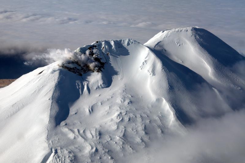
Colombia , Cumbal :
Weekly activity bulletin from the Cumbal Volcanic Complex
Regarding the monitoring of the activity of the CUMBAL VOLCANIC COMPLEX (CVC), the MINISTRY OF MINES AND ENERGY, through the COLOMBIAN GEOLOGICAL SERVICE (SGC), reports that:
Between February 13 and 19, 2024, seismicity maintained low levels of occurrence and daily energy, similar to those reported in previous weeks. Fracking-related earthquakes and fluid-associated events have been recorded in the volcanic system. The earthquakes associated with the fracturing of rocks, predominant on this volcano, were located mainly near the two active cones of the complex (La Plazuela in the Northeast and Mundo Nuevo in the Southwest), at distances less than 1 .3 km, with depths up to 3 km compared to the height of La Plazuela (4700 m above sea level) and maximum magnitude of 0.4. The most energetic fracture earthquake reached a magnitude of 1.6 and was located 11 km southeast of the volcanic summit, 10 km deep and near the urban area of Cumbal.
Gas emissions were recorded from the El Verde fumarole field northeast of the CVC, with low white columns and variable dispersion depending on wind direction. No significant variation was observed in the other geophysical and geochemical parameters of volcanic monitoring.
Volcanic activity remains on YELLOW ALERT Status: Active volcano with changes in baseline behavior of monitored parameters and other manifestations
Source et photo : SGC
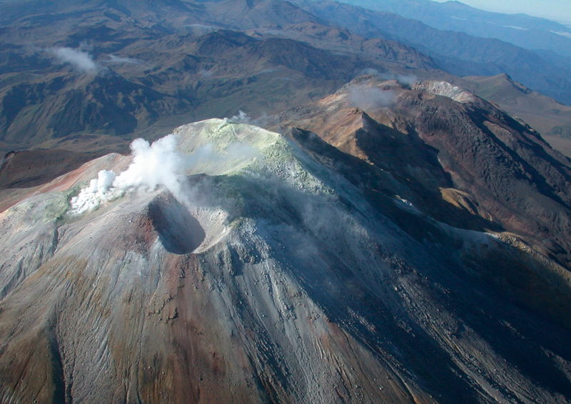
Ecuador , Reventador :
DAILY REPORT ON THE STATE OF THE REVENTADOR VOLCANO, Saturday February 24, 2024.
Information Geophysical Institute – EPN.
Surface activity level: Moderate, Surface trend: No changes
Internal activity level: Moderate, Internal trend: No changes
Seismicity: From February 23, 2024, 11:00 a.m. to February 24, 2024, 11:00 a.m.:
The following table shows the number of seismic events from the reference station over the last 24 hours.
Explosion (EXP) 32
Long Period (LP) 16
Transmitting tremor (TREMI) 21
Tremor harmonic (TRARM): 2
Precipitation/Lahars:
In the early hours of today, thanks to the Windy weather forecast system, INAMHI, and satellite images, the presence of rain was recorded in the volcano area, which gave rise to corresponding high-frequency seismic signals to the descent of mud and debris flows (lahars). Due to adverse weather conditions, these events may continue to occur, therefore it is recommended to stay away from the channels of the Marker and Montana rivers and to receive information from official sources.
Emissions/ash column:
Due to unfavorable weather conditions and poor visibility of the volcano thanks to the surveillance camera system, no gas or ash emissions were observed. However, thanks to satellite images and reports issued by W-VAAC, intermittent puffs of gas and ash were recorded approximately 705 m above the level of the crater, in a southeast direction.
Observation:
Since yesterday, thanks to the surveillance camera system and satellite images, it has been observed that the volcano remains completely cloudy and with zero visibility. Likewise, the weather conditions did not allow the observation of incandescent episodes.
Alert level: Orange.
Source : IGEPN.
Photo : IGEPN ( archive)
Mexico , Popocatepetl :
February 24, 11:00 a.m. (February 24, 5:00 p.m. GMT). Activity from the last 24 hours
38 exhalations and 979 minutes of very low to low amplitude high frequency tremors were detected; Both volcanic events were accompanied by water vapor, volcanic gases and ash.
During the morning and at the time of this report, a continuous emission of water vapor, volcanic gases and ash is observed in the South-East (SE) direction.
The Popocatépetl volcanic warning fire is in yellow phase 2.
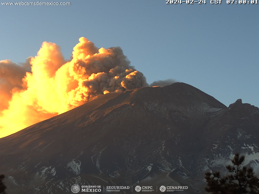
The scenarios planned for this phase are:
A few small to moderate explosions
Appearance of tremors of variable amplitude
Recommendations
Cenapred emphasizes not trying to climb the volcano, as explosions occur that throw out incandescent fragments, as has been seen recently. Respect the exclusion radius of 12 kilometers around the crater, being in this area is not safe. During heavy rain, stay away from the bottom of ravines, due to the danger of mudslides and debris.
Source et photo : Cenapred.