May 10 , 2022 .
Alaska , Semisopochnoi :
51°55’44 » N 179°35’52 » E,
Summit Elevation 2625 ft (800 m)
Current Volcano Alert Level: WATCH
Current Aviation Color Code: ORANGE
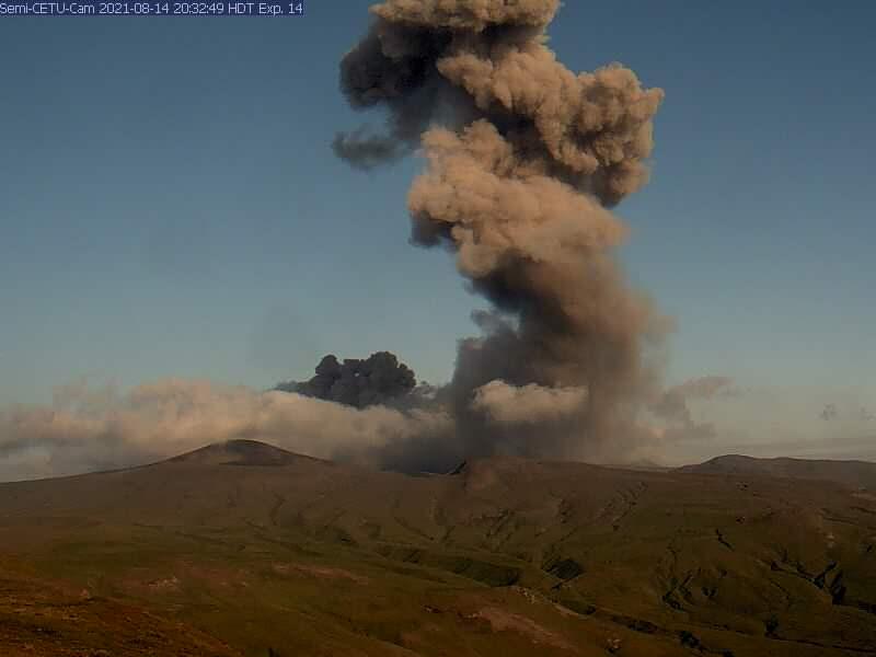
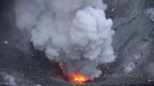
Low-level eruptive activity continues. Seismicity remains elevated with intermittent tremor. Several explosions were detected in seismic and infrasound data over the past day. The volcano was obscured by clouds in satellite views, but web camera views showed minor, low-level ash emissions and a pilot reported a low-level eruption cloud early this morning.
Small eruptions producing minor ash deposits within the vicinity of the active north crater of Mount Cerberus and ash clouds usually under 10,000 ft (3 km) above sea level have characterized the recent activity. Small explosions and associated ash emissions may continue and could be difficult to detect, especially when thick cloud cover obscures the volcano.
Semisopochnoi is monitored by local seismic and infrasound sensors, satellite data, web cameras, and remote infrasound and lightning networks.
Source : AVO.
Photo : Archive AVO/USGS.
Peru , Sabancaya :
Analysis period: from May 02, 2022 to May 08, 2022, Arequipa, May 09, 2022.
Alert level: ORANGE
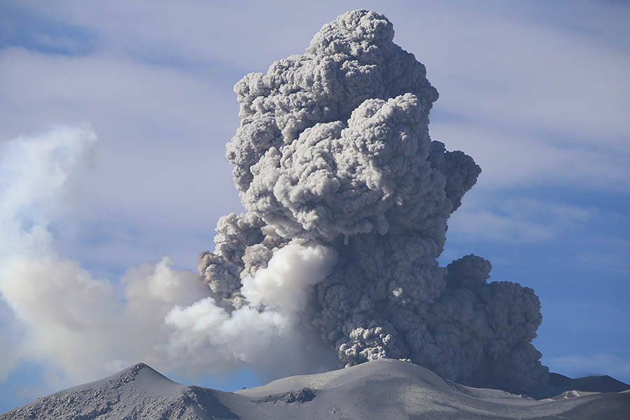
The Geophysical Institute of Peru (IGP) reports that the eruptive activity of the Sabancaya volcano remains at moderate levels, that is to say with the recording of an average of 53 daily explosions, with columns of ash and of gas up to 3.0 km altitude above the summit of the volcano and their subsequent dispersion. Therefore, for the following days, no significant change is expected in eruptive activity.
The IGP recorded and analyzed the occurrence of 324 earthquakes of volcanic origin, associated with the circulation of magmatic fluids inside the Sabancaya volcano. An average of 53 explosions was recorded daily, in addition to recording Volcano-Tectonic (VT) type events associated with rock fracturing inside the Sabancaya volcano.
Monitoring the deformation of the volcanic structure using GNSS techniques (processed with fast orbits) does not show any significant anomalies. However, in general, an inflation process has been observed in the northern sector (surroundings of the Hualca Hualca volcano). Visual surveillance identified columns of gas and ash up to 3.0 km a.s.l. above the summit of the volcano, which were dispersed to the East, Southeast, North and Northeast sectors of the volcano. Sabancaya. Satellite recordings have identified the presence of 5 thermal anomalies, with a maximum value of 58 MW, associated with the presence of a lava body on the surface of the crater of the volcano.
RECOMMENDATIONS
• Keep the volcanic alert level orange.
• Do not approach within a radius of less than 12 km from the crater.
Source : Cenvul
Photo :Photovolcanica , http://www.photovolcanica.com/VolcanoInfo/Sabancaya/Sabancaya2016_00249.JPG
Hawaii , Kilauea :
19°25’16 » N 155°17’13 » W,
Summit Elevation 4091 ft (1247 m)
Current Volcano Alert Level: WATCH
Current Aviation Color Code: ORANGE
Activity Summary:
The summit eruption of Kīlauea Volcano, within Halemaʻumaʻu crater, has continued over the past 24 hours. All recent lava activity has been confined to the crater, and current data indicate that this scenario is likely to continue. No significant changes have been noted in the summit or East Rift Zone.
Halemaʻumaʻu crater Lava Lake Observations:
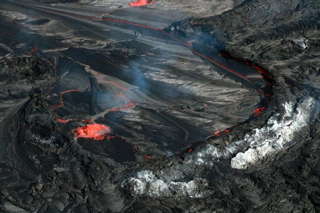
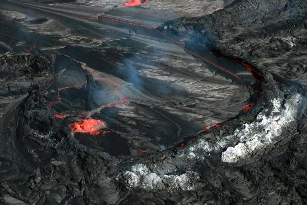
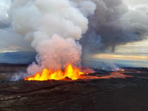
Eruption of lava from the Halemaʻumaʻu western vent into the active lava lake and onto the crater floor has continued over the past 24 hours. The active lava lake has experienced continuous surface activity, and its surface level has been relatively steady over this period. The past 24 hours have seen the waning of lava ooze-out activity near the northwestern margin of the crater floor, and renewed vigor in another ooze-out near the northeastern margin. Other more sluggish ooze-outs remain active along the southern margin. Overflight measurements on April 6, 2022 indicated that the crater floor had seen a total rise of about 99 meters (325 feet) and that 66 million cubic meters (18 billion gallons) of lava had been effused since the beginning of this eruption on September 29, 2021.
Summit Observations:
Summit tiltmeters have been relatively flat over the past 24 hours. A sulfur dioxide (SO2) emission rate of approximately 2,600 tonnes per day (t/d) was measured on May 4, 2022.
Source : HVO
Photo : USGS / K. Mulliken.
Kamchatka , Bezymianny :
55.97 N, 160.6 E;
Elevation 2882 m (9453 ft)
Aviation Colour Code is YELLOW
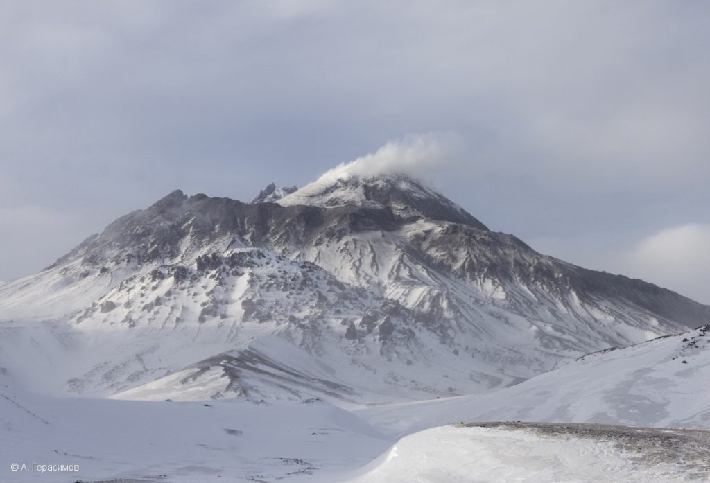
The extrusive-effusive eruption of the volcano continues. Aerosol clouds and ash plumes from hot avalanches could occur at any time. Ongoing activity could affect low-flying aircraft.
The extrusive-effusive eruption of the volcano continues, a strong fumarole activity, and an incandescence of the lava dome, and hot avalanches accompanies this process. Satellite data by KVERT showed a thermal anomaly over the volcano all week.
Source : Kvert .
Photo : A. Gerasimov ( 30/3/2021 ).
Mexico , Popocatepetl :
May 09, 11:00 a.m. (May 09, 4:00 p.m. GMT)
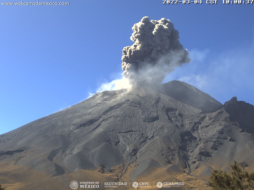
During the last 24 hours, according to the monitoring systems of the Popocatépetl volcano, 28 low intensity exhalations have been detected, accompanied by water vapor, gas and sometimes slight amounts of ash. Four volcano-tectonic earthquakes were also detected, recorded yesterday at 5:04 p.m. and today at 4:54 a.m., 4:56 a.m. and 6:56 a.m., with calculated magnitudes of 1.6, 1.8, 1, 6 and 1.5, respectively.
During the morning and at the time of this report, an intermittent low altitude emission composed of volcanic gases and water vapor was observed, which dispersed towards the West-South-West.
CENAPRED urges NOT TO APPROACH the volcano and especially the crater, due to the danger of falling ballistic fragments and, in case of heavy rains, to stay away from the bottom of the ravines due to the danger of mudslides and of debris.
The Popocatépetl volcanic alert traffic light is in YELLOW PHASE 2.
Source et photo ( archive) : Cenapred .

