May 07 , 2022.
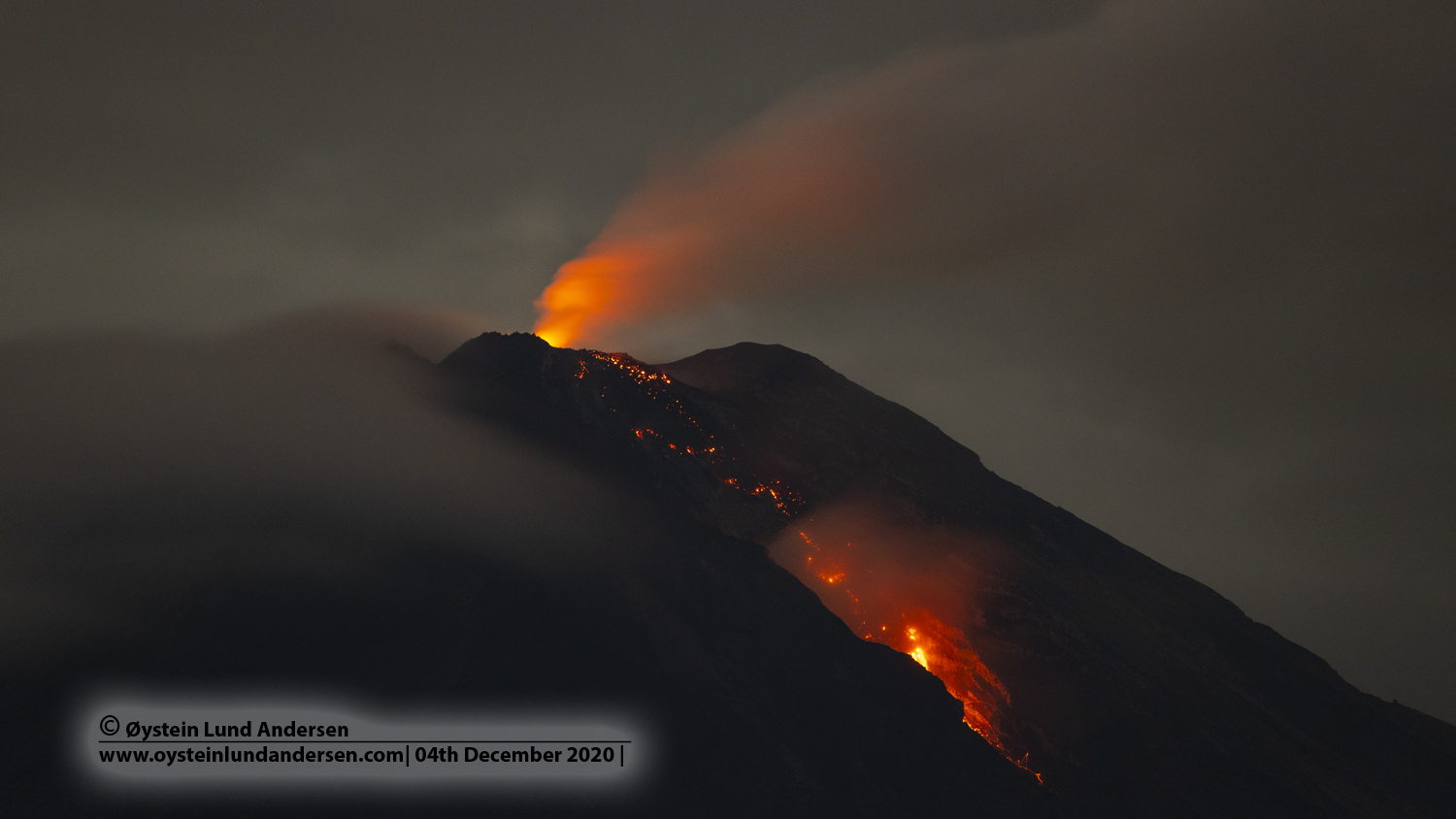
Indonesia , Semeru :
VOLCANO OBSERVATORY NOTICE FOR AVIATION – VONA
Issued : May 7 , 2022 .
Volcano : Semeru (263300)
Current Aviation Colour Code : ORANGE
Previous Aviation Colour Code : orange
Source : Semeru Volcano Observatory
Notice Number : 2022SMR132
Volcano Location : S 08 deg 06 min 29 sec E 112 deg 55 min 12 sec
Area : East java, Indonesia
Summit Elevation : 11763 FT (3676 M)
Volcanic Activity Summary :
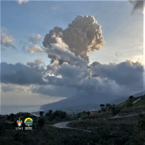
Eruption with volcanic ash cloud at 02h55 UTC (09h55 local).
Volcanic Cloud Height :
Best estimate of ash-cloud top is around 14003 FT (4376 M) above sea level, may be higher than what can be observed clearly. Source of height data: ground observer.
Other Volcanic Cloud Information :
Ash-cloud moving to southwest
Source : Magma Indonésie .
Photo : Oystein lund Andersen .
Alaska , Pavlof :
55°25’2″ N 161°53’37 » W,
Summit Elevation 8261 ft (2518 m)
Current Volcano Alert Level: WATCH
Current Aviation Color Code: ORANGE
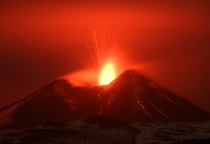
Pavlof Volcano continues to erupt from the east vent near the volcano’s summit. Seismic tremor, consistent with continued low-level activity, was present throughout the week. Elevated surface temperatures were observed during clear weather. No ash emissions were observed in clear satellite or webcam images, however, minor steam emissions could be seen throughout the week.
Periods of lava spatter and fountaining from the vent on the volcano’s upper east flank have been occurring since mid-November 2021. This activity has built a small cone and sent flows down the flank that melt the snow and ice and produce variable amounts of meltwater. The meltwater typically incorporates loose debris on the flank of the volcano and forms thin (less than 2 m thick) lahars. The lahar deposits extend down the east-southeast flank for several kilometers, not quite to the base of the volcano.
Previous eruptions of Pavlof indicate that the level of unrest can change quickly and the progression to more significant eruptive activity can occur with little or no warning.
Pavlof is monitored by local seismic and infrasound sensors, satellite data, web cameras, and remote infrasound and lightning networks.
Source : AVO.
Photo : Ferguson-Gould, Tara / Alaska Volcano Observatory / University of Alaska Fairbanks, Geophysical Institute .
Colombia , Nevado del Huila :
Weekly bulletin of the activity of the Nevado del Huila volcano
The activity level of the volcano continues at the Yellow activity level or (III): changes in the behavior of volcanic activity.
From the analysis and evaluation of the information obtained through the monitoring network of the Nevado del Huila volcano during the week of April 26 to May 2, 2022, the SERVICIO
GEOLÓGICO COLOMBIANO – Volcanological and Seismological Observatory of Popayán informs that:
During the evaluated period, a total of 227 seismic events were recorded, of which 71 were related to rock fracturing processes (type VT) and 156 to fluid dynamics in volcanic conduits. Of these, 137 were cataloged as long period type events (LP type), one (1) hybrid type event and 18 as low energy contribution tremor pulses (TR type).
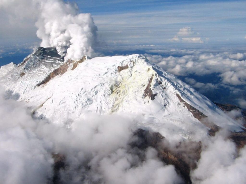
The images obtained during the week thanks to the web cameras of Tafxnú, Caloto, Maravillas and La Palma showed a weak degassing of the volcanic system, with a white column, preferentially oriented towards the West.
On April 27, 2022, a mobile SO2 flow measurement was carried out on the Popayán (Cauca) – Cali (Valle del Cauca) road, in which an area was detected between Tunia and Villa rica (Cauca), with a value of 1378 t / day, which is considered low, according to records held for this volcano.
Sensors monitoring ground deformation, magnetic fields and infrasound waves did not record variations associated with changes in volcanic activity.
Therefore, it is concluded that during the evaluated period, the volcano continued to exhibit stable behavior. The Colombian Geological Service continues to monitor the evolution of the volcanic phenomenon and will report any changes that may occur in due course.
Source : SGC.
Photo : Parque Nacional .
Iceland , Reykjanes Peninsula:
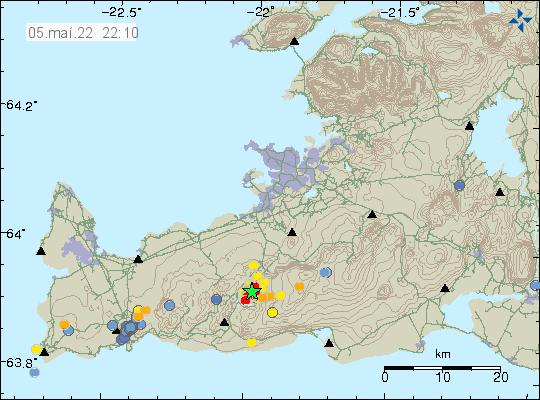
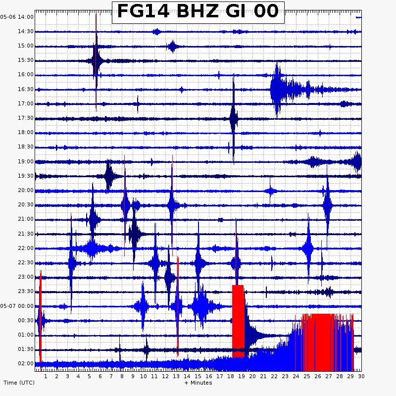
At 00:09 on May 5th an earthquake of M3,4 occurred by Kleifarvatn. The earthquake was felt in the capital area. Another earthquake occurred at 23:42 (4th of May), it was of M2.9, that earthquake was also felt in the capital area. An earthquake of the same magnitude was measured on the 1st of May in the same area, that earthquake was also felt in the capital area.
The earthquake swarm is ongoing, but activity has decreased since Wednesday night.
Earthquake swarm in Kleifarvatn lake in Krýsuvík-Trölladyngja volcano
Yesterday (04-May-2022) an earthquake swarm started in Kleifarvatn lake that is in Krýsuvík-Trölladyngja volcano. Largest earthquake had a magnitude of Mw3,4 but earthquakes down to magnitude Mw2,9 where felt in Reykjavík.
Earthquake activity in Krýsuvík-Trölladyngja volcano. Copyright of this image belongs to Icelandic Met Office.
It is difficult to be exactly sure what is going on. However, most signs suggest that this earthquake swarm that is ongoing is because if magma movement or magma trying to push upwards in the crust at this location. Earthquake activity is showing a small amount of fluctuation and I don’t know why that is happening. Eruption in this area is likely, it is however impossible to know when that might happen.
Source : Vedur is , icelandgeology.net.
Photo : Met Office islandais
Guatemala , Fuego :
SPECIAL VOLCANOLOGICAL BULLETIN.
LAHAR IN THE BARRANCA CENIZA, TRIBUTARY OF THE ACHIGUATE RIVER
The rains in the area of the volcanic complex are currently generating a lahar in the Barranca Ceniza, a tributary of the Achíguate River, with moderate to strong characteristics, due to the rains that persist in the area. The lahar descends fine and hot volcanic materials, in addition to carrying branches and tree trunks, as well as blocks from 30 cm to 1.5 meters in diameter.
The rains of the last few days have kept the volcanic deposits saturated with humidity, so that lahars will continue to be generated in the afternoon and evening.
Source et photo : Insivumeh.

