May 01 , 2019.
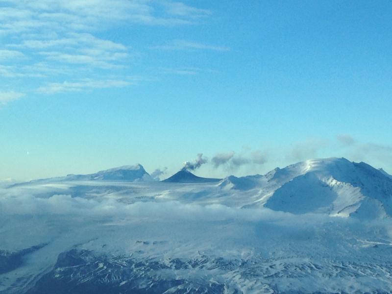
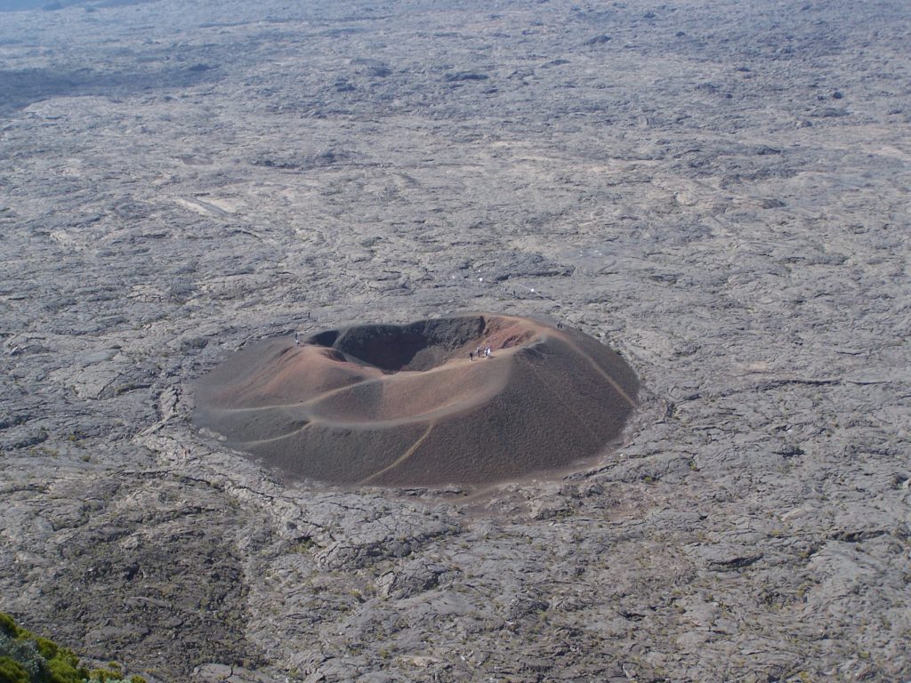
Photo :Jacques Briant
Alaska , Veniaminof :
AVO/USGS Volcanic Activity Notice
Volcano: Veniaminof (VNUM #312070)
Current Volcano Alert Level: NORMAL
Previous Volcano Alert Level: ADVISORY
Current Aviation Color Code: GREEN
Previous Aviation Color Code: YELLOW
Issued: Tuesday, April 30, 2019, 12:34 PM AKDT
Source: Alaska Volcano Observatory
Location: N 56 deg 11 min W 159 deg 23 min
Elevation: 8225 ft (2507 m)
Area: Alaska Peninsula
Volcanic Activity Summary:
Eruptive activity at Veniaminof ceased in early January 2019, and over the past four months indications of unrest have decreased. Therefore AVO is lowering the Aviation Color Code to GREEN and the Volcano Alert Level to NORMAL.
Low-level tremor, slightly elevated surface temperatures and minor steam emissions continue, but are now considered typical for this post-eruptive period. This activity will likely continue for many months.
Recent Observations:
[Volcanic cloud height] None
[Other volcanic cloud information] n/a
[Lava flow] None
Source : AVO
Photo : Finley, Zachary .
Kamchatka , Ebeko :
VOLCANO OBSERVATORY NOTICE FOR AVIATION (VONA).
Issued: May 01 , 2019
Volcano:Ebeko (CAVW #290380)
Current aviation colour code:ORANGE
Previous aviation colour code:orange
Source:KVERT
Notice Number:2019-87
Volcano Location:N 50 deg 41 min E 156 deg 0 min
Area:Northern Kuriles, Russia
Summit Elevation:3791.68 ft (1156 m)
Volcanic Activity Summary:
A moderate explosive activity of the volcano continues. Visual data from Severo-Kurilsk showed an explosion sent ash up to 3.0 km a.s.l., an ash cloud is drifting to the southeast of the volcano.
A moderate eruptive activity of the volcano continues. Ash explosions up to 19,700 ft (6 km) a.s.l. could occur at any time. Ongoing activity could affect low-flying aircraft and airport of Severo-Kurilsk.
Volcanic cloud height:
9840 ft (3000 m) AMSL Time and method of ash plume/cloud height determination: 20190501/0204Z – Visual data
Other volcanic cloud information:
Distance of ash plume/cloud of the volcano: 3 mi (5 km)
Direction of drift of ash plume/cloud of the volcano: SE
Time and method of ash plume/cloud determination: 20190501/0204Z – Visual data
Source : Kvert
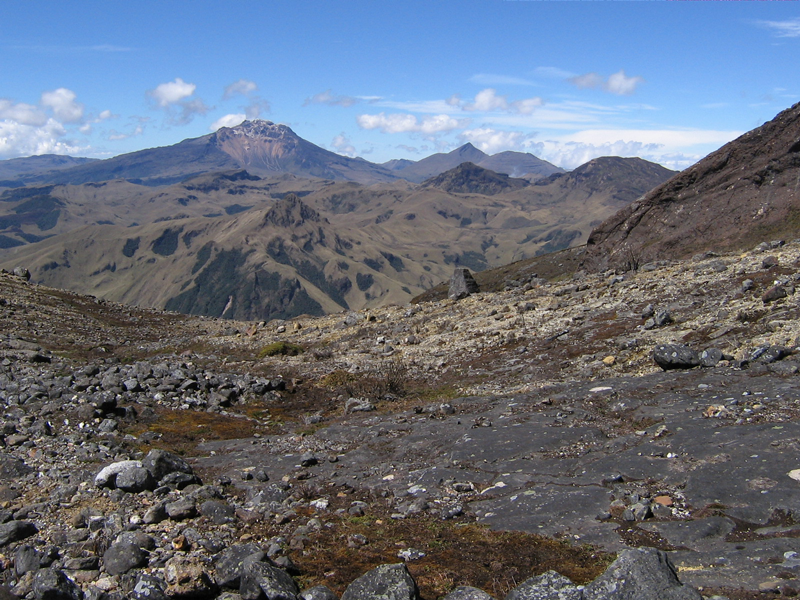
Photo : Кирилл Баканов
Colombia , Chiles / Cerro Negro :
Weekly activity bulletin of Chiles and Cerro Negro volcanoes.
The activity level of volcanoes continues at the level: YELLOW LEVEL ■ (III): CHANGES IN THE BEHAVIOR OF THE VOLCANIC ACTIVITY.
Following the activity of the CHILE volcanoes and CERRO NEGRO, the COLOMBIAN GEOLOGICAL SERVICE (SGC) reports that:
For the period evaluated, between April 23 and 29, 2019, in the Chile – Cerro Negro volcano region, an event occurred on April 25, 2019 at 2:12 am, with a magnitude of M3.1. on the Richter scale, an event that would have been felt by the inhabitants of the area of influence of this volcano. After this event, there was a slight increase in the number of earthquakes during the week, totaling 2573 events, compared to 2102 the previous week.
These earthquakes were located at distances of up to 4.5 km to the south and south-west of the volcano and at depths between 1.6 and 9 km, compared to the summit (at an altitude of 4 700 m). ).
Other geophysical and geochemical parameters of volcanic monitoring did not show significant variations.
The Colombian Geological Service and the Institute of Geology of the National Polytechnic School of Ecuador are attentive to the evolution of the volcanic phenomenon and will continue to report the changes observed as soon as possible.
Source : SGC
Photo : SGC
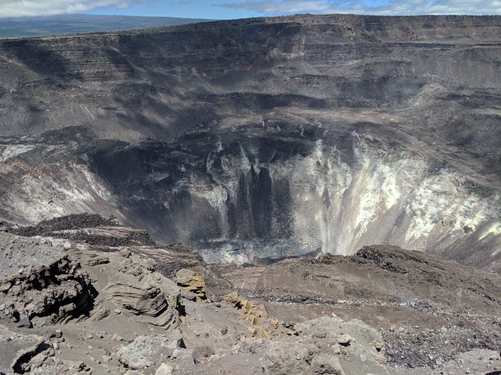
Hawaii , Kilauea :
19°25’16 » N 155°17’13 » W,
Summit Elevation 4091 ft (1247 m)
Current Volcano Alert Level: NORMAL
Current Aviation Color Code: GREEN
Activity Summary:
Kīlauea Volcano is not erupting. Monitoring data over the past eight months have shown relatively low rates of seismicity, deformation, and gas emission at the summit and East Rift Zone (ERZ) including the area of the 2018 eruption.
A magnitude M4.2 earthquake occurred at 0326h 28-APR UTC (1756h 27-APR Hst) beneath the Kilauea south flank, roughly 20km (12mi) SE of the summit at a depth of 7km (4.2mi). This earthquake was widely felt across East Hawai`i. It did not appear to result in any changes on the volcano.
As of March 26, Kīlauea Volcano is at NORMAL/GREEN. Despite this classification, Kīlauea remains an active volcano, and it will erupt again. Although we expect clear signs prior to a return to eruption, the time frame of warning may be short. Island of Hawaiʻi residents should be familiar with the long-term hazard map for Kīlauea Volcano and how to stay informed about Kīlauea activity.
Observations:
This past week saw no significant changes in monitoring data or volcanic activity. Low rates of seismicity were spiked somewhat by a magnitude M4.2 earthquake roughly 20km SE of the summit, beneath the south flank at a depth of 7km, and associated aftershocks. Generally low seismicity otherwise continues across the volcano, with earthquakes occurring primarily in the summit and south flank regions. GPS stations and tiltmeters continue to show motions consistent with refilling of the deep East Rift Zone magma reservoir. Sulfur dioxide emission rates from the summit and from Puʻu ʻŌʻō remain low.
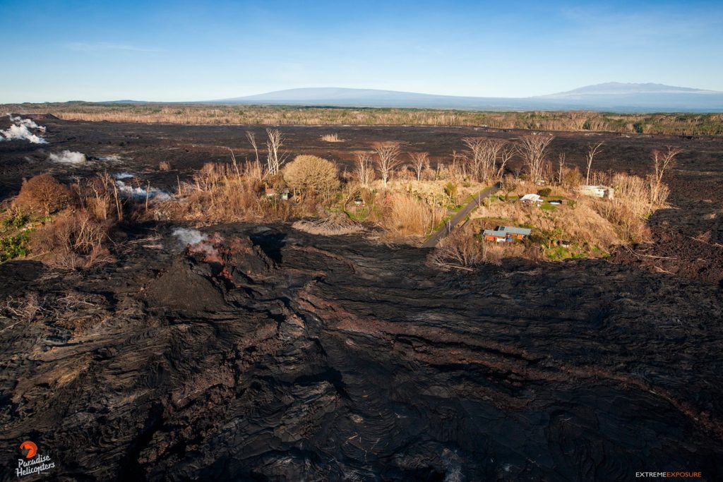
A GPS station on the north flank of Puʻu ʻŌʻō has been showing steady slumping of the craters edge, and the motion has continued this week. This motion is interpreted to be sliding of the unstable edge of Puʻu ʻŌʻō cone, rather than having direct association with magmatic activity. Small collapses at Puʻu ʻŌʻō have occurred since the eruption due to local instability.
Hazards remain in the lower East Rift Zone eruption area and at the Kīlauea summit. Residents and visitors near the 2018 fissures, lava flows, and summit collapse area should heed Hawaii County Civil Defense and National Park warnings. Hawaii County Civil Defense advises that lava flows and features created by the 2018 eruption are primarily on private property and persons are asked to be respectful and not enter or park on private property.
The Hawaiian Volcano Observatory (HVO) continues to closely monitor Kīlauea’s seismicity, deformation, and gas emissions for any sign of increased activity. HVO maintains visual surveillance of the volcano with web cameras and occasional field visits. HVO will continue to issue a weekly update (every Tuesday) until further notice, and we will issue additional messages as warranted by changing activity.
Source : HVO.
Photos : HVO , Bruce Omori .
La Réunion , Piton de la Fournaise :
Seismicity:
In April 2019, the OVPF recorded at the level of the Piton de la Fournaise massif in total:
• 167 superficial volcano-tectonic earthquakes (0 to 2 km deep) beneath the summit craters;
• 4 deep earthquakes (> 2 km deep);
• 242 collapses (in the Crater Dolomieu and the ramparts of Enclos Fouqué).
Since the end of the last eruption (18 February – 10 March 2019), a superficial seismicity is still recorded; an average of 6 per day during the month of April. In parallel, 4 deep earthquakes were recorded in April.
The resumption of inflation (swelling) of the building following the end of the eruption of February 18 – March 10, 2019, stopped at the end of March. Since then, no significant deformity has been recorded.
Geochemistry of gases:
CO 2 concentration in the soil:
In the far field (Plaine des Cafres and Plaine des Palmistes areas): Since the end of the eruption from 18 February – 10 March 2019, CO2 concentrations are stable at intermediate values.
SO2 flux in the air in the Enclos Fouqué, by DOAS method:
Near or below the detection threshold.
Balance sheet
The deep magma recharge and the pressurization of the superficial magmatic reservoir that had resumed following the end of the February 18 – March 10, 2019 eruption appear to have stopped since the beginning of April. It should be noted that since 2016, the deep refeeding under the Piton de la Fournaise is done by impulses, and such phases of lull in deformation and seismicity have already been observed several times in 2016, 2017 and 2018 over periods ranging from approximately 15 to 80 days.
Source : OVPF
Photo : G Vitton

