January 22 , 2025 .
Colombia , Puracé – Chaîne volcanique Los Coconucos :
Popayan, January 21, 2025, 5:00 p.m. .
Following the monitoring of the activity of the Puracé volcano – Los Coconucos volcanic chain, the Colombian Geological Survey (SGC), an entity attached to the Ministry of Mines and Energy, reports that:
During the week of January 14 to 20, 2025, seismic activity did not show variations in the number of events compared to the previous week, although it recorded a considerable increase in the energy released. The events occurred, for the most part, in the northwest part of the volcanic chain. The earthquakes related to rock fracturing had depths between 2 and 5 km with a maximum recorded magnitude of 2.4 ML, corresponding to an earthquake that occurred at 00:48 (local time) on January 20.
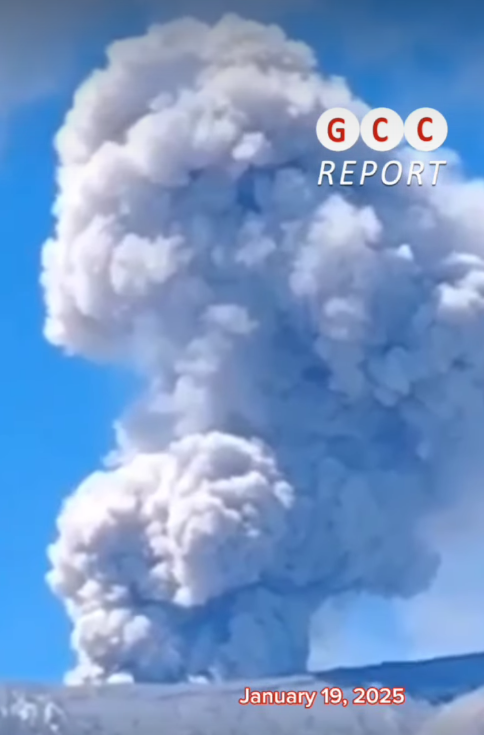
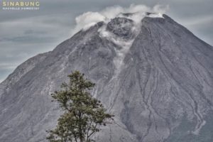
For their part, the fluid events had depths of less than 4 km, of which a continuous tremor signal stands out, which began at 23:56 (local time) on January 19, which was associated with an ash emission from the crater of the Curiquinga volcano, located 1.2 km southeast of the Puracé volcano, which reached the cities of Coconuco, Timbío, Popayán and Sotará, and was reported through an extraordinary bulletin published by the Colombian Geological Survey. Associated with this ash emission, a significant increase in the emission of sulfur dioxide (SO2) into the atmosphere was also recorded, detected by satellite images and by the equipment installed at the top of the volcano, as well as a deformation process of the buildings of the Puracé and Curiquinga volcanoes, in addition to an acoustic pressure signal detected by monitoring instruments. At the time of publication of this bulletin, a persistent seismic signal continues to be recorded over time, classified as low-energy background tremor.
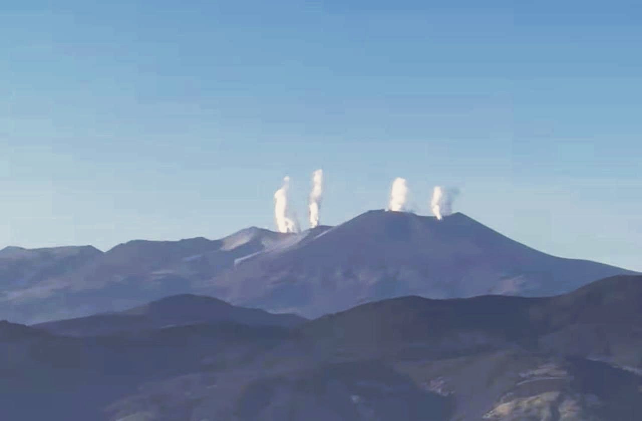
In the images captured by the visible and infrared spectrum webcams, a column of ash emissions of approximately 1,400 meters in height was observed, measured from the summit of the Curiquinga volcano. In addition, significant degassing was observed, both in the lateral fumarole and in the crater of the Puracé volcano and in two new gas emission points inside the crater of the Curiquinga volcano.
Based on the above, the SGC recommends closely monitoring the evolution of volcanic activity through weekly bulletins and other information published on official channels, as well as complying with the instructions of local, departmental authorities and the National Disaster Risk Management Unit (UNGRD).
The alert status for volcanic activity remains at yellow alert status: active volcano with changes in the behavior of the base level of the monitored parameters and other manifestations.
Source : SGC
Photos : Lauraqc88 ( via Bernard Duyck) , GCC ( Capture d’écran )
Italy , Stromboli :
WEEKLY BULLETIN, January 13, 2025 to January 19, 2025. (issue date January 21, 2025)
SUMMARY OF ACTIVITY STATUS
In light of the monitoring data, it is highlighted:
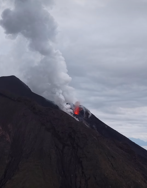
1) VOLCANOLOGICAL OBSERVATIONS: During the period studied, intense eruptive activity with splashes from the North crater area was observed. The total hourly frequency of explosions oscillated around average values (8-15 events/h). The intensity was low and average in the North and Center-South crater areas.
2) SEISMOLOGY: The monitored seismic parameters do not show significant variations.
3) GROUND DEFORMATIONS: No significant changes to report
4) GEOCHEMISTRY: SO2 flux at an average level.
Soil CO2 fluxes from the Pizzo area (STR02): due to technical issues, there are no updates.
CO2/SO2 ratio in the plume (Stromboli Plume Network): high values.
Helium isotope ratio (R/Ra) dissolved in the thermal aquifer: last updated on 19 December 2024, with increasing values.
Soil CO2 fluxes in the San Bartolo area at medium values.
Soil CO2 fluxes in the Scari area at medium-high values.
5) SATELLITE OBSERVATIONS: The thermal activity observed by satellite in the summit area was generally low level.
VOLCANOLOGICAL OBSERVATIONS
During the observation period, the eruptive activity of Stromboli was characterized by the analysis of the images recorded by the INGV-OE surveillance cameras placed at an altitude of 190 m (SCT-SCV) and at Punta dei Corvi (SPCT). The explosive activity was produced mainly by 4 eruptive vents located in the North crater area and by 3 vents located in the Centre-South crater area.
Due to unfavorable weather conditions, the visibility of the crater terrace on 17 January was insufficient for a correct description of the eruptive activity.
Observations of explosive activity captured by surveillance cameras
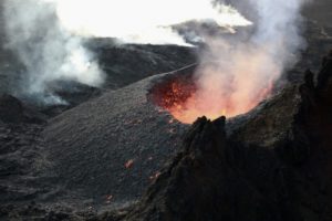
In the North Crater (N) area, four active vents were observed that produced low-intensity explosive activity (erupted products reached a height of less than 80 m) and sometimes medium-intensity (product height between 80 and 100 m). m). In addition, low and discontinuous projection activity was observed at the vents in sector N2. The products emitted were mainly coarse materials (bombs and lapilli). The average explosion frequency varied between 7 and 12 events per hour.
In the Centre-South (CS) area, explosive activity was produced by at least three vents; The explosions were of variable intensity, from medium (product height between 80 and 150 m) to high (more than 250 m in height) with emission of fine materials. The average explosion frequency varied between 1 and 3 events per hour.
Source : INGV
Photo : Stromboli stati d’animo / Sebastiano Cannavo ( Capture d’écran)
Indonesia , Ibu :
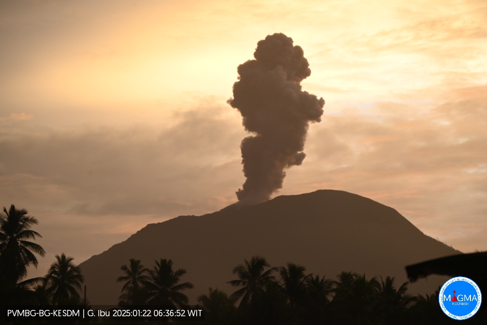
An eruption of Mount Ibu occurred on Wednesday, January 22, 2025, at 06:36 WIT with an observed ash column height of ± 800 m above the peak (± 2125 m above sea level). The ash column was observed to be gray in color with a thick intensity, oriented toward the southwest. This eruption was recorded on a seismograph with a maximum amplitude of 28 mm and a duration of 68 seconds.
The explosions follow one another: 13:48, 13:39, 12:22, 10:45, etc…
VOLCANO OBSERVATORY NOTICE FOR AVIATION – VONA
Issued : January 22 , 2025
Volcano : Ibu (268030)
Current Aviation Colour Code : ORANGE
Previous Aviation Colour Code : orange
Source : Ibu Volcano Observatory
Notice Number : 2025IBU144
Volcano Location : N 01 deg 29 min 17 sec E 127 deg 37 min 48 sec
Area : North Maluku, Indonesia
Summit Elevation : 4240 FT (1325 M)
Volcanic Activity Summary :
Eruption with volcanic ash cloud at 21h36 UTC (06h36 local).
Volcanic Cloud Height :
Best estimate of ash-cloud top is around 6800 FT (2125 M) above sea level or 2560 FT (800 M) above summit. May be higher than what can be observed clearly. Source of height data: ground observer.
Other Volcanic Cloud Information :
Ash cloud moving to southwest. Volcanic ash is observed to be gray. The intensity of volcanic ash is observed to be thick.
Remarks :
Eruption recorded on seismogram with maximum amplitude 28 mm and maximum duration 68 second.
Source et photo : Magma Indonésie.
Hawaii , Kilauea :
Tuesday, January 21, 2025, 8:42 AM HST (Tuesday, January 21, 2025, 18:42 UTC)
19°25’16 » N 155°17’13 » W,
Summit Elevation 4091 ft (1247 m)
Current Volcano Alert Level: WATCH
Current Aviation Color Code: ORANGE
Activity Summary:
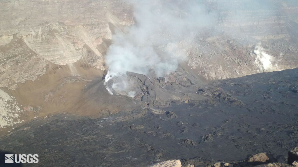
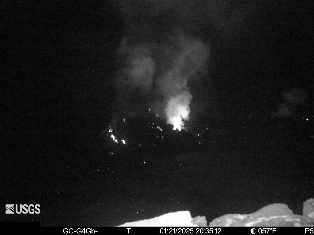
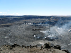
The summit eruption at Kīlauea volcano that began on December 23 ended its fourth eruptive episode at about 10:10 a.m. H.S.T., January 18. Glow from the north vent remains strong but is diminished on the south vent and the crater floor has been almost entirely dark since the evening of January 19. Strong glow from the north vent indicates that magma remains close to the surface of Halemaʻumaʻu within Kaluapele (the summit caldera). No unusual activity has been noted along Kīlauea’s East Rift Zone or Southwest Rift Zone.
Summit Eruption Observations:
Since the evening of January 19, there have only been a few scattered points of glow on the crater floor. Strong glow from the north vent indicates that magma remains close to the surface. Pele’s hair formed in earlier stages of episode 4 may continue to be remobilized by winds within the National Park and in nearby communities over the next few days .
Summit Instrumental Observations:
Seismic tremor is present at low levels. Earthquake activity well below background (only 2 M0+ earthquakes in the last 24 hours) has been detected in the summit region. Summit tiltmeters began recording inflation at about 9:50 a.m. H.S.T, January 18 soon after fountaining activity ceased at the north vent, and have been steadily inflating since. The most recently measured sulfur dioxide (SO2) emission rate was approximately 800 tonnes per day Saturday, January 18, after the end of episode 4, and could be analogous to current conditions. Though significantly lower than rates measured during eruptive episodes 1, 2, and 3 (Kona winds precluded emission rate measurements during episode 4), this value still represents above-background SO2 emissions, and the resulting hazard will be affected by wind conditions
Rift Zone Observations:
Seismicity remains low in both the East Rift Zone and Southwest Rift Zone, with counts of shallow earthquakes at background levels. The ESC tiltmeter in the upper East Rift Zone has recorded minor deformation in the last 24 hours. Deformation rates remain low in the middle and lower East Rift Zone and in the Southwest Rift Zone, as recorded by GPS instruments and tiltmeters.
Source et photos : HVO
Kamchatka , Sheveluch :
VOLCANO OBSERVATORY NOTICE FOR AVIATION (VONA)
Issued: January 22 , 2025
Volcano: Sheveluch (CAVW #300270)
Current aviation colour code: ORANGE
Previous aviation colour code: orange
Source: KVERT
Notice Number: 2025-05
Volcano Location: N 56 deg 38 min E 161 deg 18 min
Area: Kamchatka, Russia
Summit Elevation: 3283 m (10768.24 ft), the dome elevation ~2500 m (8200 ft)
Volcanic Activity Summary:
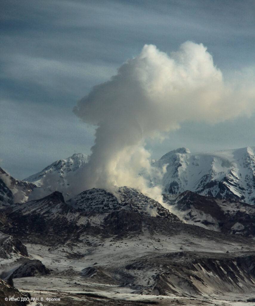
Video and satellite data by KVERT shows a strong wind lifts ash from the southern slopes of Sheveluch volcano, and a plume of resuspended ash is extending about 40 km to the east-south-east of the volcano.
An extrusive-effusive eruption of the Sheveluch volcano continues. The danger of ash explosions up to 10 km (32,800 ft) a.s.l. remains. Ongoing activity could affect international and low-flying aircraft.
Volcanic cloud height:
3300 m (10824 ft) AMSL Time and method of ash plume/cloud height determination: 20250122/0210Z – Video data
Other volcanic cloud information:
Distance of ash plume/cloud of the volcano: 50 km (31 mi)
Direction of drift of ash plume/cloud of the volcano: E / azimuth 96 deg
Time and method of ash plume/cloud determination: 20250122/0106Z – Suomi NPP 15m16
Source : Kvert
Photo :V. Frolov. IVS FEB RAS ( 04 / 2024)

