December 06 , 2024.
Indonesia , Dempo :
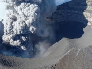
Last activity of Dempo Volcano, South Sumatra, December 5, 2024
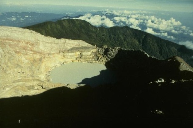
Dempo Volcano is a stratovolcano that peaks at 3,173 meters above sea level. Geographically, Dempo Volcano is located at the coordinate position 4.03° S latitude, 103.13° E longitude and is administratively located in Lahat Regency, Empat Lawang, Pagar Alam City, South Sumatra.
The eruption history of Dempo Volcano has been recorded since 1818 and has an eruption interval ranging from 1 to 32 years. In 2024, there will have been 4 eruptions on Dempo, namely on May 27, May 31, November 23 and November 26, 2024. The eruptions are in the form of phreatic eruptions with a height of 100 to 500 meters above the summit, the ash columns are white to gray in color.
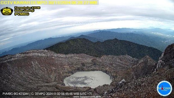
After the eruption from November 26, 2024 to December 5, 2024 at 09:00 WIB, no eruption occurred at Dempo Volcano. Volcanic activity is dominated by continuous swarms and tremors. The summit and crater of Dempo Volcano were not visually visible due to strong windstorms and thick fog.
The latest developments in Dempo Volcano activity for the period from November 27 to December 5, 2024 are as follows:
The volcano was clearly visible until it was covered with white smoke from the main crater with a light intensity about 50 meters from the summit.
The seismicity of Dempo Volcano included 65 emission earthquakes, 7 deep volcanic earthquakes, 3 local tectonic earthquakes, 1 MMI II scale felt earthquake, 3 distant tectonic earthquakes, and 8 continuous tremors with amplitudes of 0.5 to 7 mm, dominant value 2 mm.
The current potential hazard is in the form of phreatic eruptions with a threat of danger in the form of material ejected from the main crater hitting an area within a radius of 1 km from the eruption center. Ashfall can occur with a distance and intensity that depends on the wind direction and speed.
Based on the results of visual and instrumental monitoring, the volcanic activity of Mount Dempo is still at Level II (WASPADA)
Source : PVMBG
Photos : Ruska Hadian, 1989 (Observatoire volcanologique d’Indonésie), Magma Indonésie.
Indonesia , Ibu :
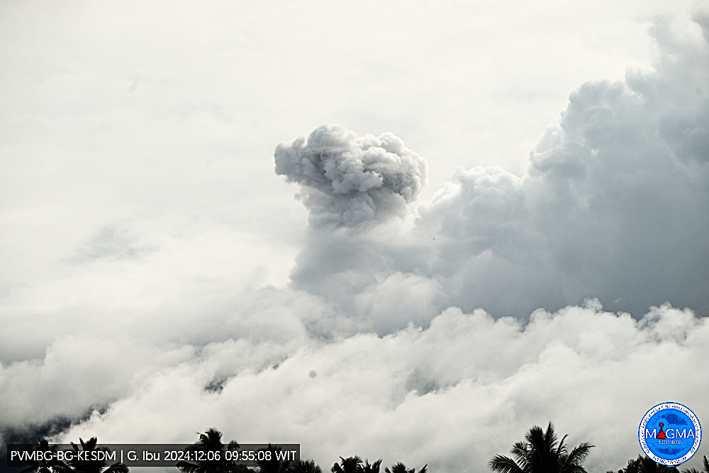
An eruption of Mount Ibu occurred on Thursday, 5 December 2024 at 23:47 UTC (08:47 local time) with the height of the ash column observed at ±500 m above the summit (±1825 m above sea level). The ash column was observed to be white to grey in colour with a thick intensity, oriented towards the southwest. This eruption was recorded on a seismograph with a maximum amplitude of 28 mm and a duration of 41 seconds.
VOLCANO OBSERVATORY NOTICE FOR AVIATION – VONA
Issued : December 05 , 2024
Volcano : Ibu (268030)
Current Aviation Colour Code : ORANGE
Previous Aviation Colour Code : orange
Source : Ibu Volcano Observatory
Notice Number : 2024IBU1277
Volcano Location : N 01 deg 29 min 17 sec E 127 deg 37 min 48 sec
Area : North Maluku, Indonesia
Summit Elevation : 4240 FT (1325 M)
Volcanic Activity Summary :
Eruption with volcanic ash cloud at 23h47 UTC (08h47 local).
Volcanic Cloud Height :
Best estimate of ash-cloud top is around 5840 FT (1825 M) above sea level or 1600 FT (500 M) above summit. May be higher than what can be observed clearly. Source of height data: ground observer.
Other Volcanic Cloud Information :
Ash cloud moving to southwest. Volcanic ash is observed to be white to gray. The intensity of volcanic ash is observed to be thick.
Remarks :
Eruption recorded on seismogram with maximum amplitude 28 mm and maximum duration 41 second.
Source et photo : Magma Indonésie.
Colombia , Galeras :
San Juan de Pasto, December 3, 2024, 2:45 p.m.
From the monitoring of the activity of the Galeras volcano, the Colombian Geological Survey (SGC), an entity attached to the Ministry of Mines and Energy, reports that:
During the week between November 26 and December 2, 2024, the activity of the volcano showed stable behavior. Compared to the previous week, the main variations in the monitored parameters were:
• Within the fluctuating processes of its activity, an increase in seismic occurrence and a decrease in the seismic energy released were recorded. The low energy levels of the recorded earthquakes are evident.
• The predominance, both in terms of occurrence and seismic energy, of the processes associated with the fracture of the material inside the volcano was maintained.
• Fracture seismicity was located in a scattered manner in the vicinity of the volcanic edifice, at distances of less than 10.5 km and at depths of up to 10.1 km from the summit (4200 m). The maximum magnitude of these earthquakes was 0.5.
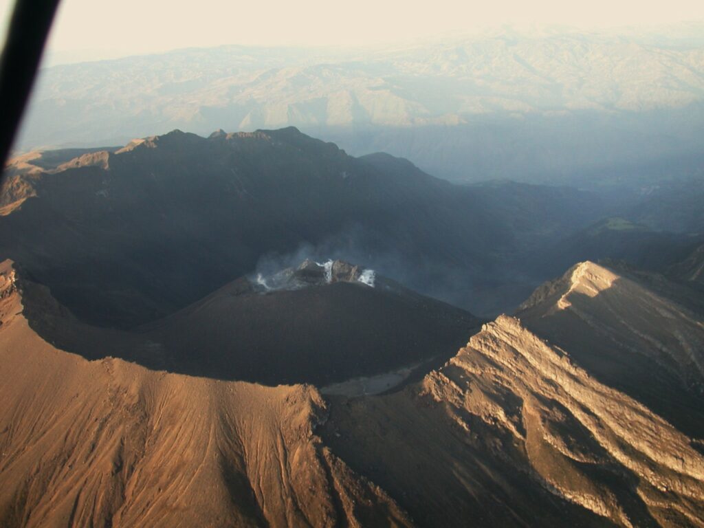
• Gas emissions were recorded from the fumarole fields: Las Chavas, to the west and El Paisita, to the north of the active cone; The gas columns were white in color, of low height and with variable dispersion due to the action of the winds.
• The other volcanic monitoring parameters showed stability.
Based on the above, the SGC recommends to closely monitor the evolution through the weekly bulletins and other information published through our official channels, as well as the instructions of the local and departmental authorities and the National Unit for Disaster Risk Management (UNGRD).
Volcanic activity remains in yellow alert status: active volcano with changes in the behavior of the base level of monitored parameters and other manifestations.
Source et photo : SGC
Russia / Kuril Islands , Ebeko :
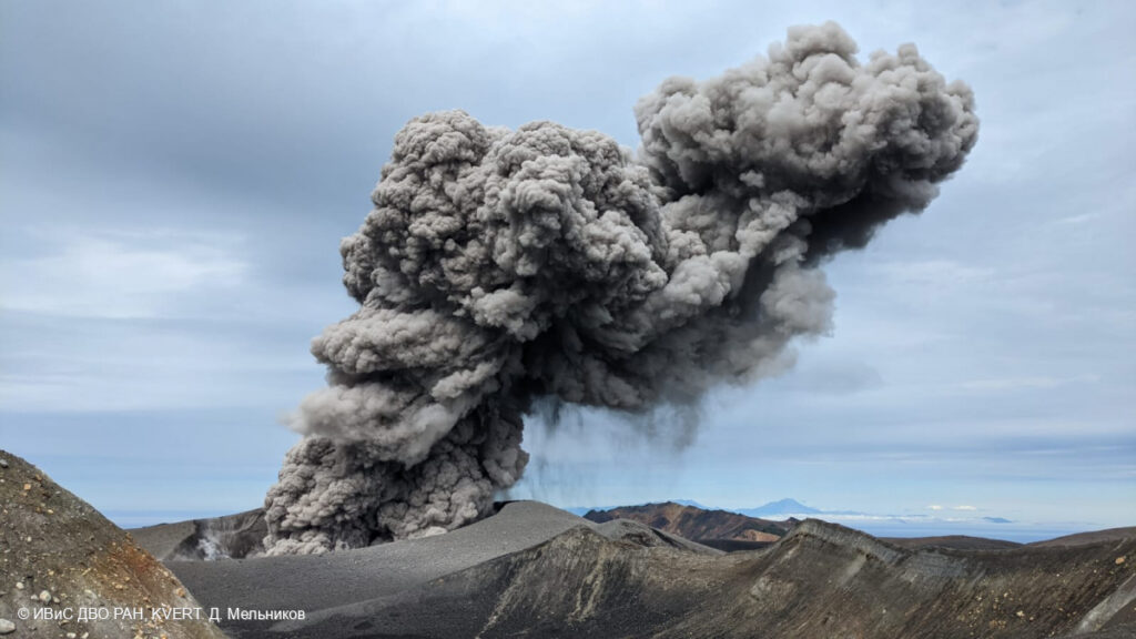
The Kamchatkan Volcanic Eruption Response Team (KVERT) reported that moderate activity was ongoing at Ebeko during 21-28 November. According to volcanologists in Severo-Kurilsk (Paramushir Island, about 7 km E), explosions on 23 November generated ash plumes that rose as high as 2 km (6,600 ft) a.s.l. and drifted NW. A thermal anomaly over the volcano was identified in satellite images on 27 November; weather conditions prevented views on the other days. The Aviation Color Code remained at Orange (the third level on a four-color scale). Dates are UTC; specific events are in local time where noted.
The flat-topped summit of the central cone of Ebeko volcano, one of the most active in the Kuril Islands, occupies the northern end of Paramushir Island. Three summit craters located along a SSW-NNE line form Ebeko volcano proper, at the northern end of a complex of five volcanic cones. Blocky lava flows extend west from Ebeko and SE from the neighboring Nezametnyi cone. The eastern part of the southern crater contains strong solfataras and a large boiling spring. The central crater is filled by a lake about 20 m deep whose shores are lined with steaming solfataras; the northern crater lies across a narrow, low barrier from the central crater and contains a small, cold crescentic lake. Historical activity, recorded since the late-18th century, has been restricted to small-to-moderate explosive eruptions from the summit craters. Intense fumarolic activity occurs in the summit craters, on the outer flanks of the cone, and in lateral explosion craters.
Sources: Kamchatkan Volcanic Eruption Response Team (KVERT) , GVP.
Photo : 28/7/2024 , D. Melnikov. IVS FEB RAS, KVERT.
Guatemala , Santiaguito :
Atmospheric conditions: Clear.
Wind: From the east.
Precipitation: 0.0 mm.
Activity:
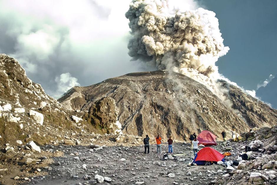
The Santa María-Santiaguito Volcanic Complex Observatory reports favorable atmospheric conditions for observing the Caliente Dome. Degassing has been observed with columns located 400 meters above the level of the dome. Likewise, 2 to 3 moderate explosions per hour have been recorded, raising columns of grayish gas and ash with heights of up to 700 meters, which move southwest and west in the direction of the wind.
These explosions are accompanied by low degassing noises, similar to those of an aircraft turbine. In the early morning, an incandescence was observed. Due to the wind direction, a low fall of fine ash is expected in communities such as Monte María, Loma Linda, San Marcos Palajunoj and their surroundings. The activity remains at a high level, so there is the possibility that, due to explosions or under the effect of gravity, part of the accumulated material will collapse and generate pyroclastic flows over long distances towards the Southwest, South and Southeast. For these reasons, the recommendations described in the special bulletin BESAN-004-2024 should be followed.
Source : Insivumeh
Photo : expert vagabond.12/2024

