January 07 , 2025 .
Indonesia , Ibu :
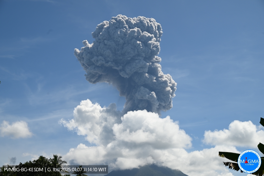
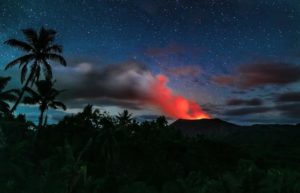
An eruption of Mount Ibu occurred on Tuesday, 7 January 2025, at 11:12 WIT with an observed ash column height of ± 3000 m above the peak (± 4325 m above sea level). The ash column was grey to brown in colour with a moderate to thick intensity, oriented towards the northwest. This eruption was recorded on a seismograph with a maximum amplitude of 28 mm and a duration of 121 seconds.
VOLCANO OBSERVATORY NOTICE FOR AVIATION – VONA
Issued : January 07 , 2025
Volcano : Ibu (268030)
Current Aviation Colour Code : ORANGE
Previous Aviation Colour Code : orange
Source : Ibu Volcano Observatory
Notice Number : 2025IBU023
Volcano Location : N 01 deg 29 min 17 sec E 127 deg 37 min 48 sec
Area : North Maluku, Indonesia
Summit Elevation : 4240 FT (1325 M)
Volcanic Activity Summary :
Eruption with volcanic ash cloud at 02h12 UTC (11h12 local).
Volcanic Cloud Height :
Best estimate of ash-cloud top is around 13840 FT (4325 M) above sea level or 9600 FT (3000 M) above summit. May be higher than what can be observed clearly. Source of height data: ground observer.
Other Volcanic Cloud Information :
Ash cloud moving to northwest. Volcanic ash is observed to be gray. The intensity of volcanic ash is observed to be thick.
Remarks :
Eruption recorded on seismogram with maximum amplitude 28 mm and maximum duration 121 second.
Source et photo : Magma Indonésie .
Indonesia , Dieng Plateau :
PHREATIC ERUPTION OF SILERI CRATER OF MOUNT DIENG, CENTRAL JAVA , , 6 JANUARY 2025 AT 10:58:02 WIB
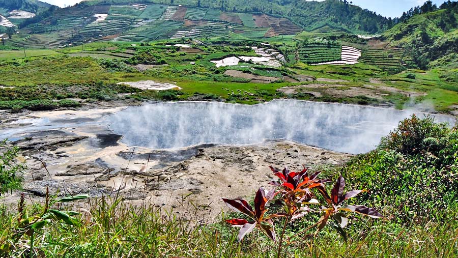
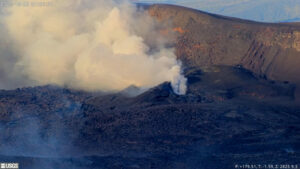
Today, 6 January 2025 at 10:58:02 WIB, a phreatic eruption occurred again in the Sileri crater in the form of a mudflow up to ±50 meters to the north and northwest, ±25 meters to the west and ±5 meters to the south. This eruption was recorded on a digital seismograph with a duration of approximately 56.8 seconds and a maximum amplitude of 42.7 mm. Visuals of thick white eruption smoke from a height of approximately 70 meters above the water surface of the crater.
The phreatic eruption of 6 January 2025 was not preceded by any signs of significant increase in volcanic activity either visually or instrumentally (seismicity and/or geochemistry) before the eruption. Seismicity did not increase and the water temperature of the Sileri crater during the last three days fluctuated between 63 and 71.5 oC (normal). The temperature sensor was still functioning after the eruption.
The response/action implemented by the Geological Agency, the Center for Volcanology and Geological Disaster Mitigation (PVMBG) through the Dieng Volcano Observation Post is in the form of coordination with the BPBD, volunteers and the Tourism Director of D’Qiano Waterboom. While calling on the community around the Sileri Crater to remain calm, there is no need to evacuate and not to be provoked by problems whose sources are unclear. In addition, we have conducted inspections/measurements of gas concentrations around the Sileri Crater.
The results of post-eruption observations and measurements showed that the volcanic gas concentration around the Sileri Crater area was measured within normal limits and the visual smoke from the crater was thin and white with a height of about 20 to 40 meters from the crater surface. No volcanic seismicity was recorded after the eruption.
According to the latest activity data, the overall activity of Mount Dieng is still fluctuating. Following the phreatic eruption on 6 January 2025, vigilance is required for the possibility of a phreatic eruption (mudflow) that may occur suddenly without being preceded by signs of increased volcanic activity. For the potential danger of phreatic eruptions, in addition to Sileri Crater, vigilance is also required in Siglagah Crater, Pagerkandang Crater and/or Candradimuka Crater. Another potential hazard to be aware of is the concentration of toxic volcanic gases that may increase in Timbang Crater, Sikendang Crater, Sibanteng Crater, Siglagah Crater, Gerlang Crater, Wanasida Crater, Wanapriya Crater, Sibanger Crater, Sinila Crater and/or Jalatunda Pit.
Currently, the activity level of Mount Dieng is still at Level II (WASPADA).
Source : PVMBG.
Photo : Wulansi-Hariandi
Guatemala , Santiaguito :
Atmospheric conditions: Clear.
Wind: Southeast.
Precipitation: 0.0 mm.
Activity:
The Santa María-Santiaguito Volcanic Complex Observatory reports favorable atmospheric conditions for observing the Caliente Dome. Degassing has been observed with columns of 700 meters above the level of the dome.
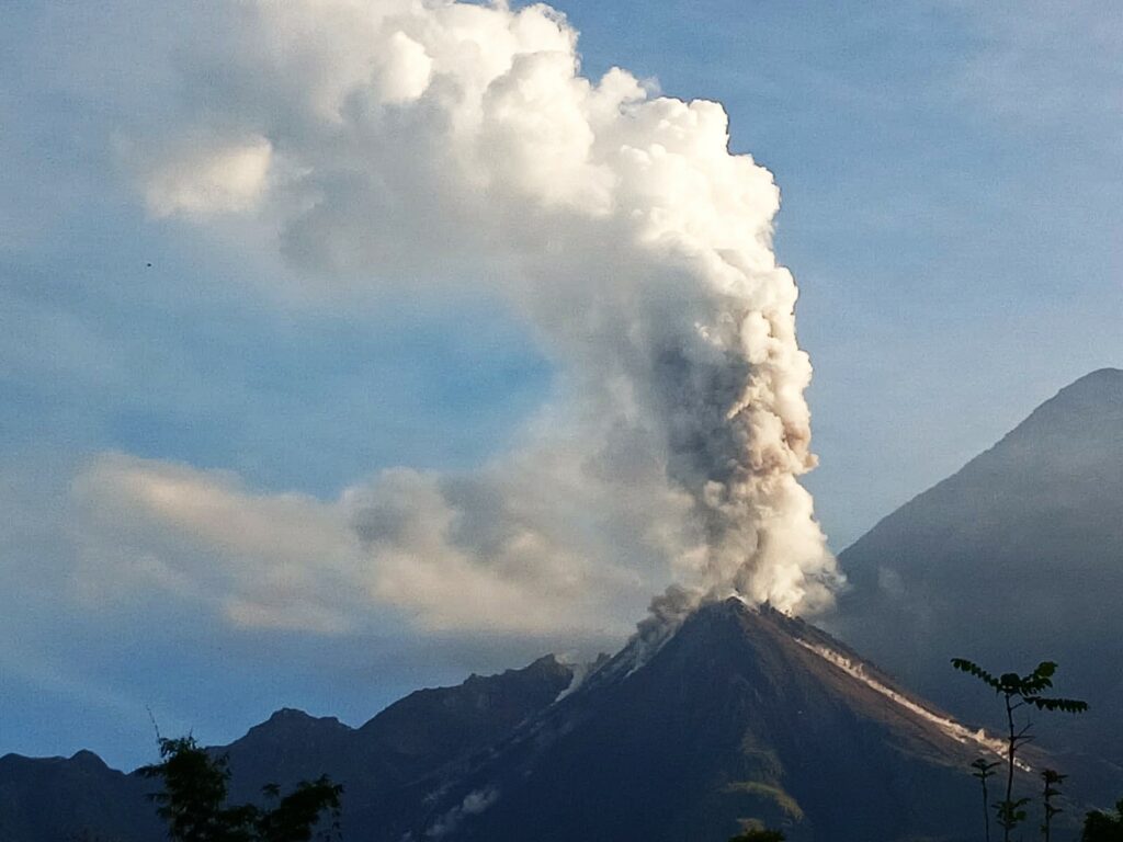
Likewise, between 1 and 2 explosions per hour of moderate characteristics are recorded, which raise columns of grayish gas, these are moved to the North and Northwest due to the wind direction, so a low fall of fine ash is expected on the communities of New Hope, San Martin Sacatepequez, Quetzaltenango and their surroundings. The activity remains at a high level, so it is possible that due to explosions or the effect of gravity, part of the accumulated material collapses and generates pyroclastic flows over long distances towards the Southwest, South and Southeast. For these reasons, follow the recommendations described in the special bulletin BESAN-004-2024.
Source : Insivumeh
Photo : Conred ( 10/2024).
Mexico , Popocatepetl :
January 06, 11:00 (January 06, 17:00 GMT) , Activity in the last 24 hours
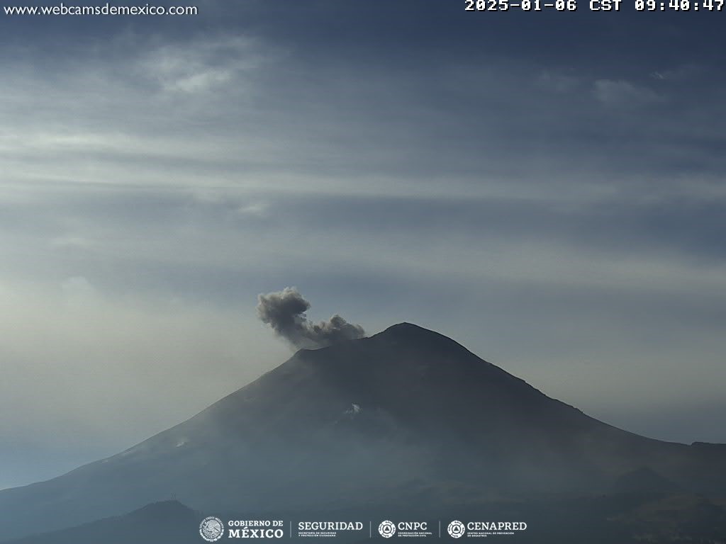
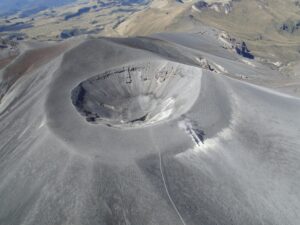
71 exhalations were detected, accompanied by water vapor and volcanic gases, in addition to 141 minutes of low amplitude tremors, of which; 118 minutes were devoted to high frequencies and 23 minutes to harmonics.
During the morning and at the time of writing this report, a continuous emission of water vapor and volcanic gases was observed, in a Northeast (NE) direction.
The Popocatépetl volcanic alert fire is in yellow phase 2.
The scenarios anticipated for this phase are:
A few minor to medium-sized explosions
Appearance of a tremor of varying amplitude
Light to moderate ash rains in the surrounding towns and in some more distant towns
Ejection of incandescent fragments within a 12-kilometer exclusion radius
Lahars are likely to occur in the ravines, due to the accumulation of ash on the slopes and their interaction with the rains expected in the coming weeks.
Possibility of pyroclastic flows not reaching the populations
Source et photo : Cenapred
La Martinique , Mount Pelée :
Weekly report, Institut de physique du globe de Paris / Observatoire volcanologique et sismologique de Martinique .
Saint-Pierre, January 3, 2025 at 2:15 p.m. local time (GMT-4)
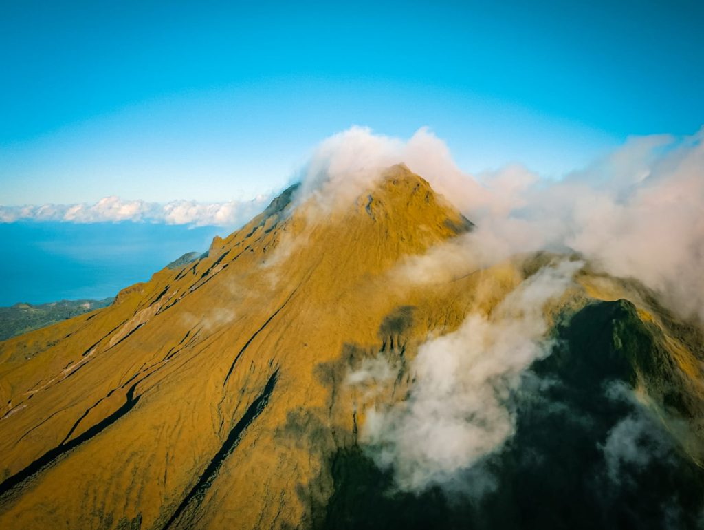
Volcanic activity remains low this week with 6 earthquakes of volcanic origin observed. Between December 27, 2024 at 4:00 p.m. (UT) and January 3, 2025 at 4:00 p.m. (UT), the OVSM recorded 6 low-energy volcano-tectonic earthquakes. These earthquakes were clearly identified as coming from one of the well-known seismically active zones at Mount Pelée, located between 1.0 and 1.4 km deep below the summit of the volcano. The superficial seismicity of the volcano-tectonic type is associated with micro-fracturing in the volcanic edifice in connection with the global reactivation of the volcano observed since the end of 2018.
No earthquake was felt by the population.
The previous week, the OVSM had recorded 10 earthquakes of volcanic origin. As of January 3, 2025 and over the past 4 weeks, the OVSM has therefore observed a total of 47 volcanic earthquakes, or an average of 11 to 12 earthquakes per week.
During the volcanic reactivation phases of volcanoes similar to Mount Pelée, it is common to observe seismic activity that varies in intensity and frequency.
For more details on observations and interpretations of volcanic activity over the longer term, refer to the OVSM monthly bulletins.
The alert level is currently YELLOW: vigilance.
Source : Direction de l’OVSM-IPGP.
Photo : rci.fm

