January 03 , 2020 .
Peru , Sabancaya :
Analysis period: December 23-29, 2019 Arequipa, December 30, 2019
Alert level: ORANGE
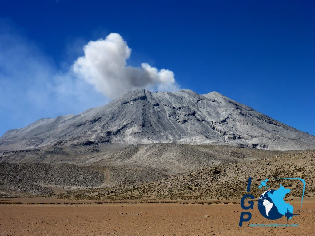
The Peruvian Geophysical Institute (IGP) reports that the eruptive activity of the Sabancaya volcano remains at moderate levels; that is, with the continuous recording of moderate explosions and the resulting ash emissions. Consequently, for the following days, no significant change in activity is expected.
During the period from 23 to 29 December, the IGP recorded and analyzed the occurrence of around 1039 earthquakes of volcanic origin, the highest percentage of which is associated with the circulation of fluids (magma, gas, etc.) that occur inside the volcano. During this period, 8 explosions per day of medium to low intensity were recorded on average.
The monitoring of the deformation of the volcanic structure, using GNSS data (processed with fast orbits), does not present any significant anomalies. Visual surveillance, using surveillance cameras, allowed us to identify the presence of columns of gas and ash up to 2.5 km high above the summit of the volcano, which were scattered towards the Northeast sectors. East, East and South-West of Sabancaya. Satellite surveillance has made it possible to identify the presence of 5 thermal anomalies of values between 1 MW and 8 MW, associated with the presence of a lava dome in the crater of the volcano about 280 m in diameter.
https://www.facebook.com/INGEMMET/videos/3136574469692624/
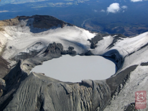
The Geophysical Institute of Peru (IGP) succeeded for the second consecutive year in carrying out the inspection of the crater of the Sabancaya volcano using an unmanned aerial vehicle (drone), developed by professionals of the institution.
The images captured during the overflights clearly show the morphology of the crater of the volcano and the location of a body of lava, called a dome, which grew inside, but failed to pass the crater. “IGP researchers processed all of the material collected to determine possible danger scenarios, including the possibility of the lava dome collapsing and the generation of pyroclastic flows. All this will be detailed in a technical report which will be submitted to the authorities in the coming days so that the necessary actions are adopted in accordance with the proposed scenarios, ”said Dr Marco Rivera, scientific researcher at the IGP.
The surveillance of volcanoes by drones has been used by the IGP since 2016, when the first overflight was carried out in the crater of the Ubinas volcano. « The use of this method is a safe and effective alternative with which the integrity of field volcanologists is not exposed and reliable results are obtained in the shortest possible time », explains Dr Rivera.
Source : IGP.
Videos : Ingemmet.
Italy , Stromboli :
Weekly bulletin from December 23, 2019 to December 29, 2019 (issue date December 31, 2019)
SUMMARY OF THE STATUS OF THE ACTIVITY
In light of the monitoring data, it is underlined:
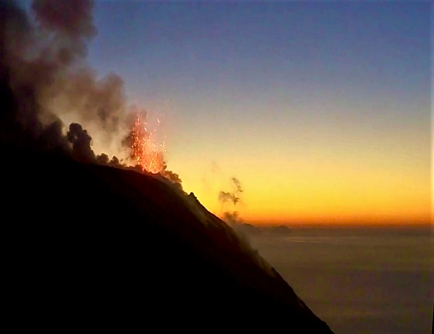
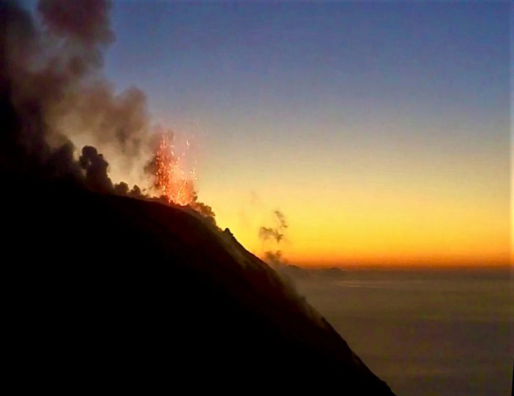
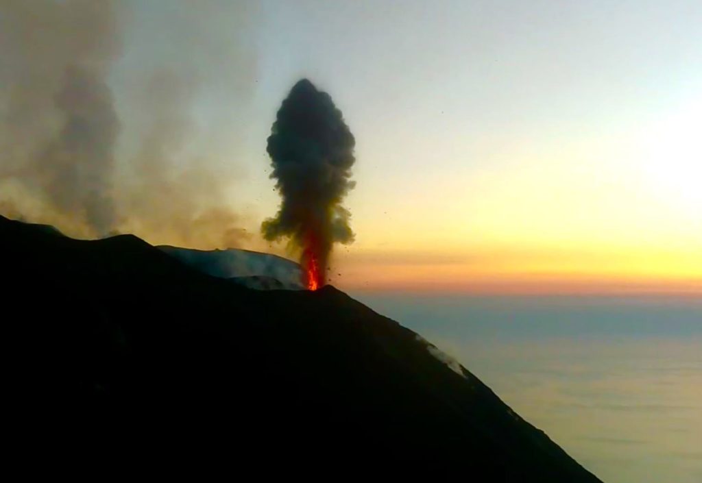
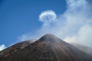
1) VOLCANOLOGICAL OBSERVATIONS: During this period, normal explosive activity of the strombolian type was observed, accompanied by degassing and splashing activities. The hourly frequency of explosions fluctuated between medium-high values (15 events / h on December 23) and high values (23 events / h on December 27). The intensity of the explosions was mainly medium-low in the area of the North crater and medium-high in the area of the Center-South crater.
2) SEISMOLOGY: The seismological parameters do not present significant variations.
4) DEFORMATIONS: no change to report
5) GEOCHEMISTRY: the flow of SO2 is at a medium-high level. No update is available on the isotopic ratio of helium in the aquifer. The last values (sampling of 12/19/2019) are medium-low. No update is available on the CO2 / SO2 ratio in the plume. The last figure, relative to 12/15/2019, is at a medium-high value.
VOLCANOLOGICAL OBSERVATIONS.
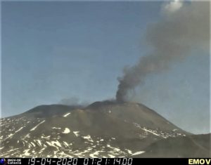
The analysis of the images recorded by the cameras placed at an altitude of 400m, at an altitude of 190m and at Punta dei Corvi made it possible to characterize the eruptive activity of Stromboli. During the period under review, the explosive activity was mainly produced by at least 3 (three) eruptive vents located in the area of the North crater and by at least 3 (three) eruptive vents located in the area of the Center-South crater . All the vents are located inside the depression which occupies the crater terrace. On the morning of December 27, a modest and discontinuous lava flow was observed which left an emission point located in the Center-South zone of the crater terrace and which traveled a few hundred meters in the upper part from the Sciara del Fuoco.
In the northern area of the crater terrace, the explosions were mainly low (less than 80 m high) and medium (less than 150 m high), sometimes high (greater than 150 m high), emitting coarse materials ( lapilli and bombs). In many explosions, the fallout covered the outer slopes of the area overlooking the Sciara del fuoco and some blocks rolled for a few hundred meters before stopping along the Sciara. Splashes were observed in the mouths located in the southern part of the northern zone, which was sometimes intense. The average frequency of explosions varied between 3 and 17 events / h. The explosive activity of the Center-South zone produced explosions of coarse materials, sometimes mixed with fine materials, of medium intensity (less than 150 m high), sometimes strong (greater than 150 m high). In some explosions, the products fell in the upper part of the Sciara. The frequency of explosions in the Center-South zone varied between 6 and 12 events / h.
Source : INGV.
Photos : Webcam.
Japan , Shinmoedake :
Alert level raised for southwestern Japan volcano
Posted at Jan 03 2020 02:09 AM
TOKYO—The Japan Meteorological Agency raised the alert level for a volcano in southwestern Japan Thursday due to increasing seismic activity in the area.
Upon raising the level one notch to 2 on a 5-point scale, the agency asked people not to approach the crater of Mount Shimmoe, warning of potential eruptions and the risk of large airborne rocks and pyroclastic flows within 2 kilometers.
According to the agency, the seismic activity near the 1,421-meter volcanic mountain straddling Kagoshima and Miyazaki prefectures increased in the evening, with 20 earthquakes occurring as of 11 p.m.
Shimmoe, which last erupted in June 2018, is one of 50 constantly monitored active volcanoes in Japan. The weather agency lowered the alert level to 1 on Dec. 20 last year, which means that the public should be aware that the mountain is an active volcano.
Source : Kyodo News.
Read the article : https://news.abs-cbn.com/overseas/01/03/20/alert-level-raised-for-southwestern-japan-volcano?fbclid=IwAR0OZJnwLuuSTToy19QHFGWI3dssJmZ6Sd96sCZBsR_HZwIXNOUMH1Cnki0
Photo : Auteur Inconnu .
Peru , Ubinas :
Analysis period: December 23-29, 2019 Arequipa, December 30, 2019
Alert level: ORANGE
The Peruvian Geophysical Institute (IGP) reports that the eruptive activity of the Ubinas volcano remains at low levels. To date, the energy of earthquakes associated with the rise of magma to the surface has considerably decreased. There are low and sporadic emissions of bluish gases (of magmatic origin) and water vapor, observed by means of surveillance cameras. According to this scenario, the possibility of volcanic explosions and / or ash emissions is low.
During the period from 23 to 29 December, the IGP recorded and analyzed a total of 101 seismic events associated with the eruptive process of the Ubinas volcano, with the predominance of seismic signals of the Volcano-Tectonic type (VT) related to fracturing rocks inside the volcano which, on average, recorded 7 earthquakes per day, all with magnitudes less than M2.1. The seismic signals linked to the rise of magma (hybrid type) decreased, both in the number of events (2 daily earthquakes) and in their energy. It should be noted that no volcanic explosion has been recorded since September 12.
Surveillance cameras recorded light and sporadic emissions of blue gases (of magmatic origin) and water vapor with heights less than 1000 m above the summit of the volcano. Monitoring the deformation of the volcanic structure, using GNSS data (processed with fast orbits), does not record any anomalies. MIROVA satellite surveillance also did not record thermal anomalies on the volcano.
Source : IGP

