July 22 , 2019.
Italy / Sicily , Etna :
COMMUNIQUE ON THE ACTIVITY OF ETNA, 21 JULY 2019, 09:09 h UTC (11:09 local time).
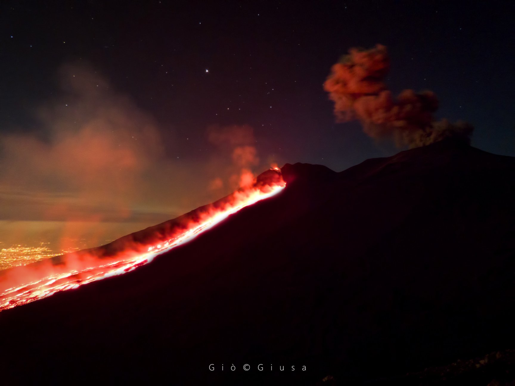
Le spectacle offert par la nature la nuit, à 2850m d’altitude. La lune, les étoiles, le golfe de Catane et Augusta, le feu. Tout était sacrément parfait!
Etna Nord 20 juillet 2019 . Photo: Giò Giusa
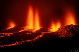
The Istituto Nazionale di Geofisica e Vulcanologia, Osservatorio Etneo, reports that during the afternoon of yesterday, eruptive activity at the New Southeast Crater (NSEC) ceased. Lava is no longer being emitted from the vent on the north flank of the NSEC, and the lava flow that was emplaced during the past few days does not show any movement and is cooling. Sporadic emissions of brownish ash continue from the Bocca Nuova crater.
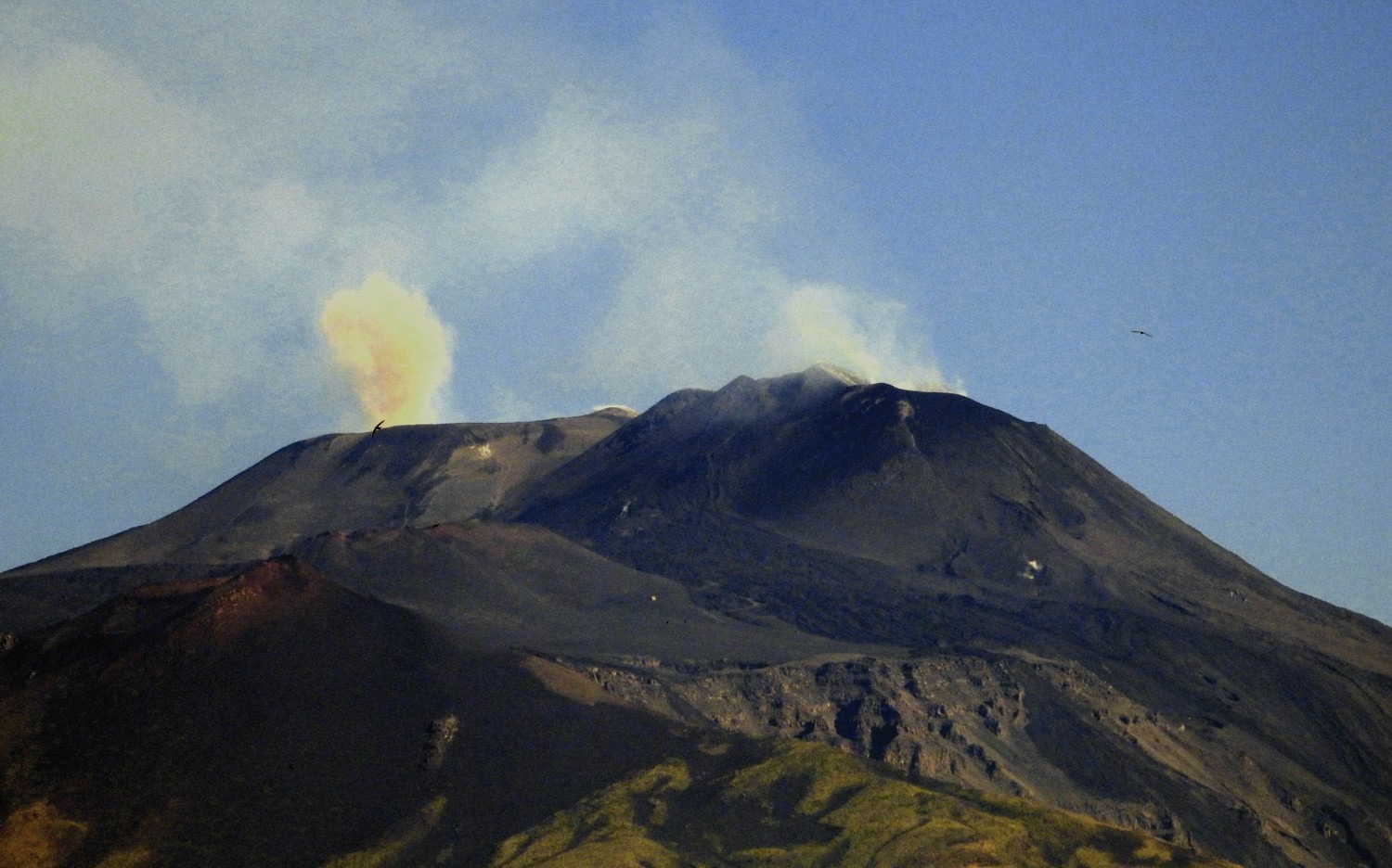
As for the seismic activity, the progressive decrease in the mean volcanic tremor amplitude that started yesterday is continuing, and currently the amplitude is at medium to low levels. There has also been a decrease in the frequency and amplitude of infrasonic signals.
The images above show a view from south of the summit craters, with a small emission of brownish ash from the Bocca Nuova at 07:00 UTC on 21/07/2019.
Source : INGV Vulcani .
Photos : INGV , Gio Giusa .
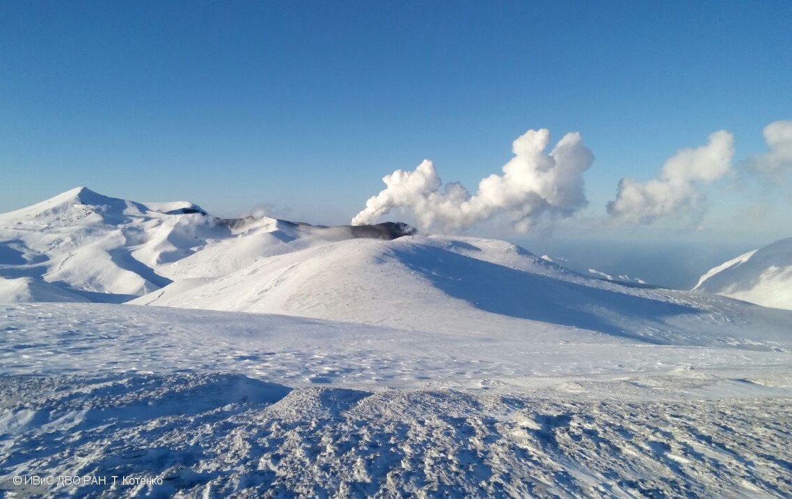
Kamchatka , Ebeko :
VOLCANO OBSERVATORY NOTICE FOR AVIATION (VONA).
Issued: July 21 , 20190
Volcano:Ebeko (CAVW #290380)
Current aviation colour code:ORANGE
Previous aviation colour code:orange
Source:KVERT
Notice Number:2019-110
Volcano Location:N 50 deg 41 min E 156 deg 0 min
Area:Northern Kuriles, Russia
Summit Elevation:3791.68 ft (1156 m)
Volcanic Activity Summary:
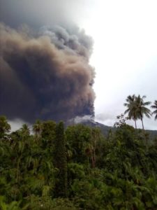
A moderate explosive activity of the volcano continues. Visual data from Severo-Kurilsk showed an explosion sent ash up to 1.8-2.0 km a.s.l., an ash cloud is drifting to the south-east – east from the volcano.
A moderate eruptive activity of the volcano continues. Ash explosions up to 19,700 ft (6 km) a.s.l. could occur at any time. Ongoing activity could affect low-flying aircraft and airport of Severo-Kurilsk.
Volcanic cloud height:
5904-6560 ft (1800-2000 m) AMSL Time and method of ash plume/cloud height determination: 20190721/0024Z – Visual data
Other volcanic cloud information:
Distance of ash plume/cloud of the volcano: 3 mi (5 km)
Direction of drift of ash plume/cloud of the volcano: SE
Time and method of ash plume/cloud determination: 20190721/0024Z – Visual data
Source : Kvert.
Photo : T. Kotenko, IVS FEB RAS , 01/2017.
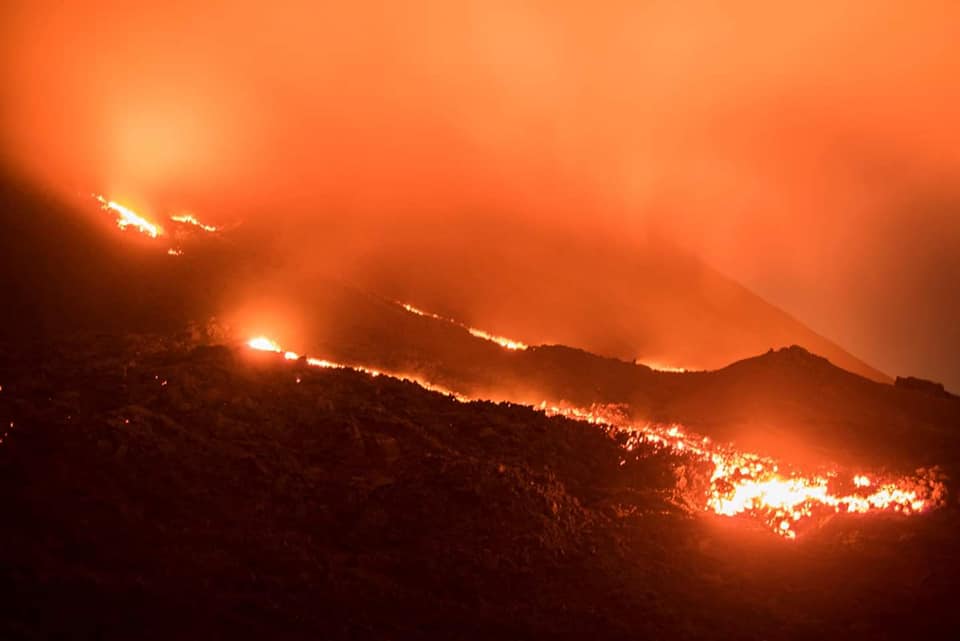
Guatemala , Pacaya :
Type of activity: Strombolian
Morphology: Composite Stratovolcano.
Geographical location: 14 ° 22’50˝ Latitude N; 90 ° 36’00˝ Longitude O.
Height: 2,552msnm.
Weather conditions: partly cloudy
Wind: North at 5 km / h
Precipitation: 2.6 mm
Activity:
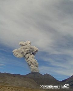
Presence of white and blue degassing fumaroles rising 200 m above the crater and dispersing to the south. Several lava flows are observed moving north on the flanks of the volcano. Small avalanches are generated at the front of the flows. Seismic stations record tremors associated with the rise of magma and gases. There is an incandescent at 5 – 25 m above the crater.
Source : INSIVUMEH
Photo : David Rojas.
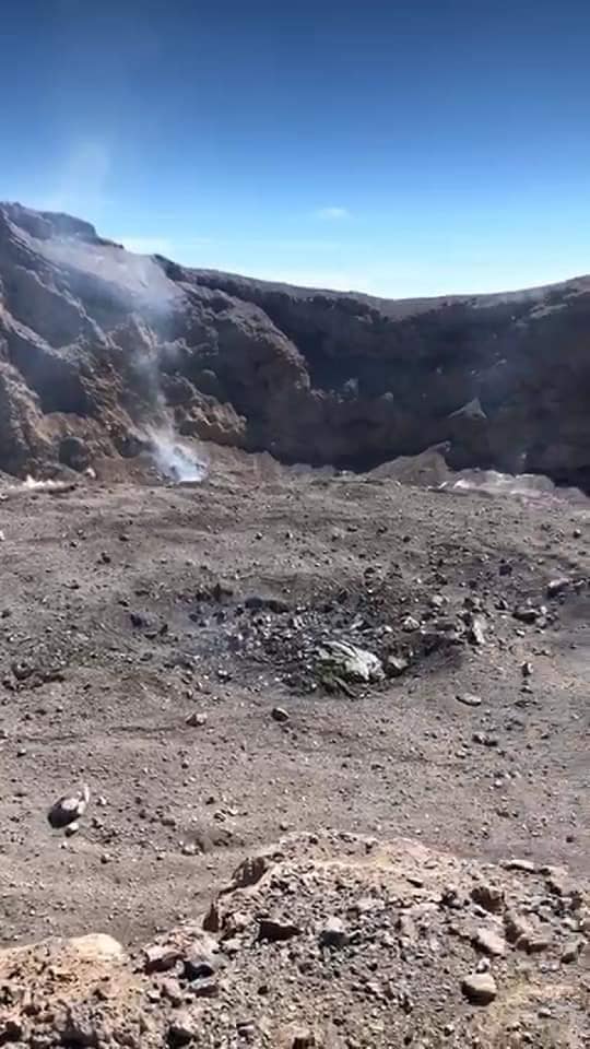
Indonesia , Agung :
Agung volcano has resumed an eruption phase since November 21, 2017, after having rested more than 53 years. The current level of activity is Level III (SIAGA).
Since yesterday and until this morning, the volcano was clearly visible until it was covered with fog. The smoke from the crater is not observed. The weather is cloudy with rain, and weak winds in the west.
The seismograph recorded on July 21, 2019:
2 earthquakes explosion.
1 local tectonic earthquake
3 distant tectonic earthquakes
On July 22, 2019 (00: 00-06: 00 WITA) was recorded: 2 distant tectonic earthquakes.
Recommendation:
Communities around G. Agung and mountaineers / visitors / tourists must not climb or carry out any activity in the estimated risk zone, ie all areas within a 4 km radius of Mount Agung crater.
People who live and move around the rivers downstream of Gunung Agung are aware of the potential secondary threat of lahars.
VONA: The latest code VONA sent the color code ORANGE, published on June 13, 2019 at 01:48 WITA, in connection with the eruption of June 13, 2019 at 1:38 WITA. The column of ash was not observed. The eruption was recorded on seismograms with a maximum amplitude of 30 mm and an earthquake duration of 3 minutes 53 seconds.
Source : PVMBG.
Photo : Suryana Arimbawa