January 20 , 2019
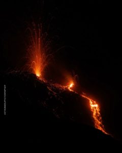
Kamchatka , Sheveluch :
56.64 N, 161.32 E;
Elevation 10768 ft (3283 m), the dome elevation ~8200 ft (2500 m)
Aviation Colour Code is ORANGE
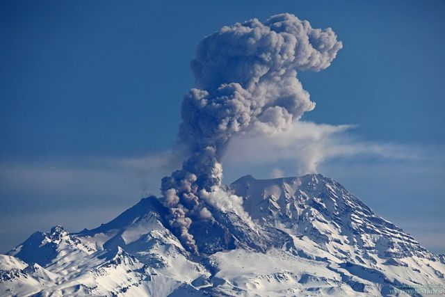
Explosive-extrusive eruption of the volcano continues. Ash explosions up to 32,800-49,200 ft (10-15 km) a.s.l. could occur at any time. Ongoing activity could affect international and low-flying aircraft.
A growth of the lava dome continues (a viscous lava blocks extrude out on the northern part of it), a strong fumarolic activity and an incandescence of the dome blocks and hot avalanches accompanies this process. According to video and satellite data, continuously all week, a strong gas-steam plume with some amount of ash on the height 5.5 km a.s.l. drifted for about 275 km to the east, south-east and north-east from the volcano. The thermal anomaly over the volcano was registering all week.
Source : Kvert.
Photo : Volkstat ru / yu Demyanchuck.
Indonesia , Kerinci :
Information on the G. Kerinci eruption, 19 January 2019
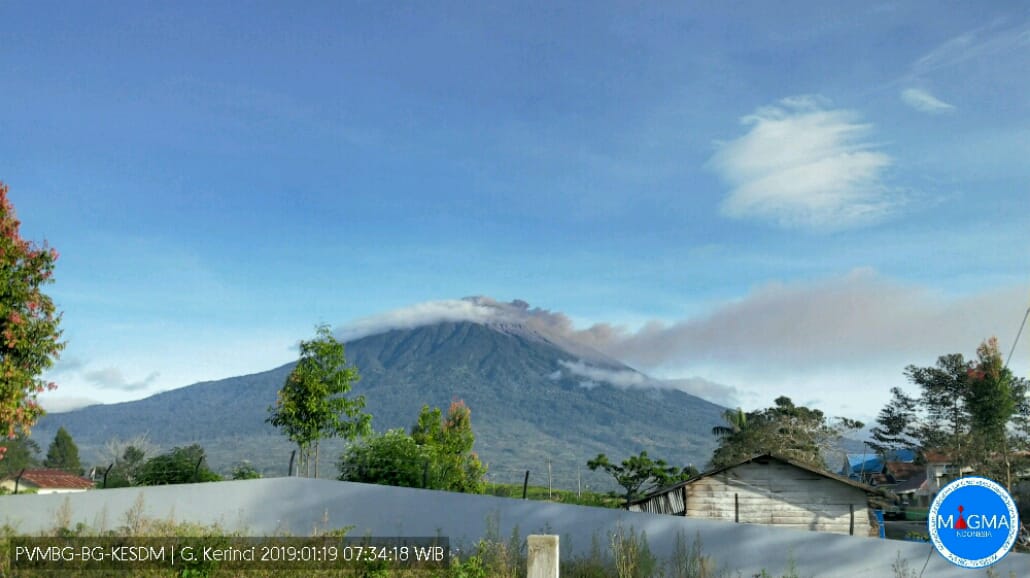
The eruption of Mount Kerinci, Jambi, West Sumatra on 19 January 2019 at 07:34 WIB showed a height of the ash column observed at ± 200 m above the summit (± 4,005 m above sea level) ). The column of ash was observed of black color with a thick intensity, directed towards the East and the South-East.
We note a continuous tremor of 0.5 to 2 mm (dominant value 0.5mm).
Currently, G. Kerinci is at level II (WASPADA) with recommendations:
Communities around the Kerinci Volcano and visitors / tourists are not allowed to climb to the crater located at the top of the Kerinci volcano and within a radius of 3 km around the active crater (activities are prohibited for people in the danger radius / KRB III).
It is best to avoid the flight path around the volcano, because it can always cause ash eruptions whose height can disrupt the flight.
Source : PVMBG
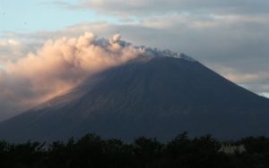
Mexico , Popocatepetl :
January 19 at 11:00 (January 19 at 17:00 GMT)
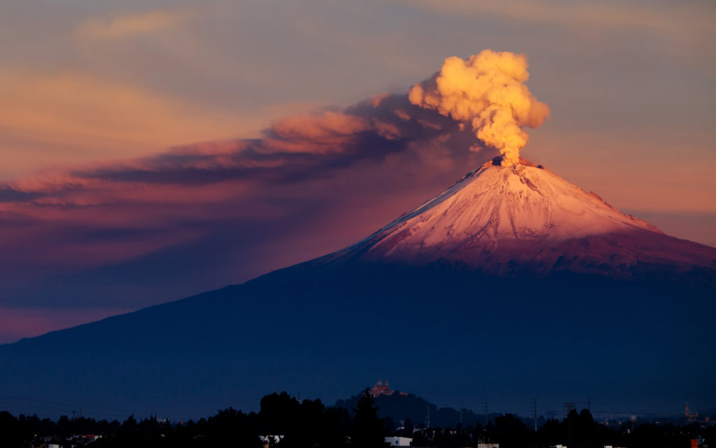
During the last 24 hours, through the surveillance systems of the Popocatépetl volcano, 275 exhalations have been identified, mainly with steam and gas emissions. Only the most important were accompanied by light ash emissions. In addition, 2 volcano-tectonic earthquakes were recorded, the first yesterday at 11:04, magnitude 1.8, and the second this morning at 5:41, magnitude 3.1.
At the time of writing this report, the crater of the volcano is visible, any broadcast will be scattered in the direction North-East.
CENAPRED urges DO NOT APPROACH the volcano and especially the crater, because of the risk of falling ballistic fragments, and in case of heavy rains to move away from the bottom of the ravines because of the risk of landslides and flows mud.
The Popocatepetl warning light is located at Amarillo Phase 2.
Source : Cenapred
Photo : seemexico.com
Guatemala , Fuego :
Type of activity: Vulcanian
Morphology: Composite Stratovolcano
Geographical location: 14 ° 28’54˝ Latitude N; 90 ° 52’54˝ Longitude O.
Height: 3,763msnm
Weather conditions: Clear weather
Wind: North West 0 km / h
Precipitation: 0.0 mm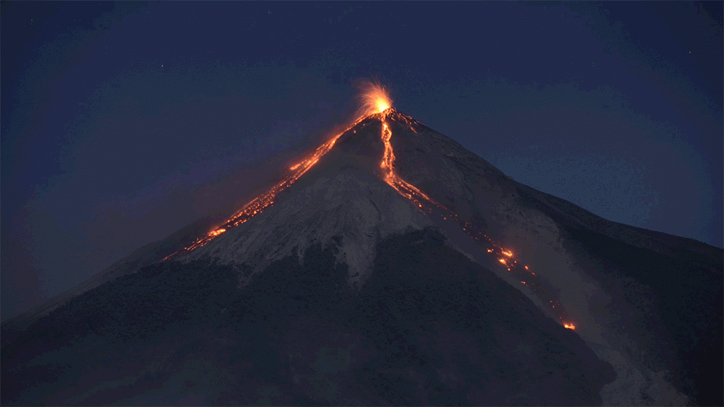
Activity:
Presence of a weak white degassing at a height of approximately 4,400 m, dispersed in a west, south-west and south direction. There are 7 to 11 explosions per hour, of low and moderate characteristics, with ash columns at an approximate height of 4,600 to 4,800 m (15,092 to 15,748 feet) moving 10 to 15 km in the West, Southwest and South. Explosions are accompanied by weak, moderate and loud rumblings, as well as by weak to moderate shock waves that cause vibrations in the roofs and windows of homes near the volcano. We hear weak sounds similar to those of a locomotive with delays of 4 to 7 minutes. At night and early in the morning, incandescence was observed in the crater at an approximate height of 150 to 300 meters above the crater, causing weak and moderate avalanches in the crater contour, some reaching long distances to the vegetation. towards the ravines: Seca, Taniluyá, Ceniza, Trinidad and Las Lajas. The ashes fall to: San Pedro Yepocapa, Morelia, Santa Sofia, Palo Verde Estate, Sangre de Cristo, Panimaché I and II, among others.
Source : Insivumeh
Photo :Unknown author

