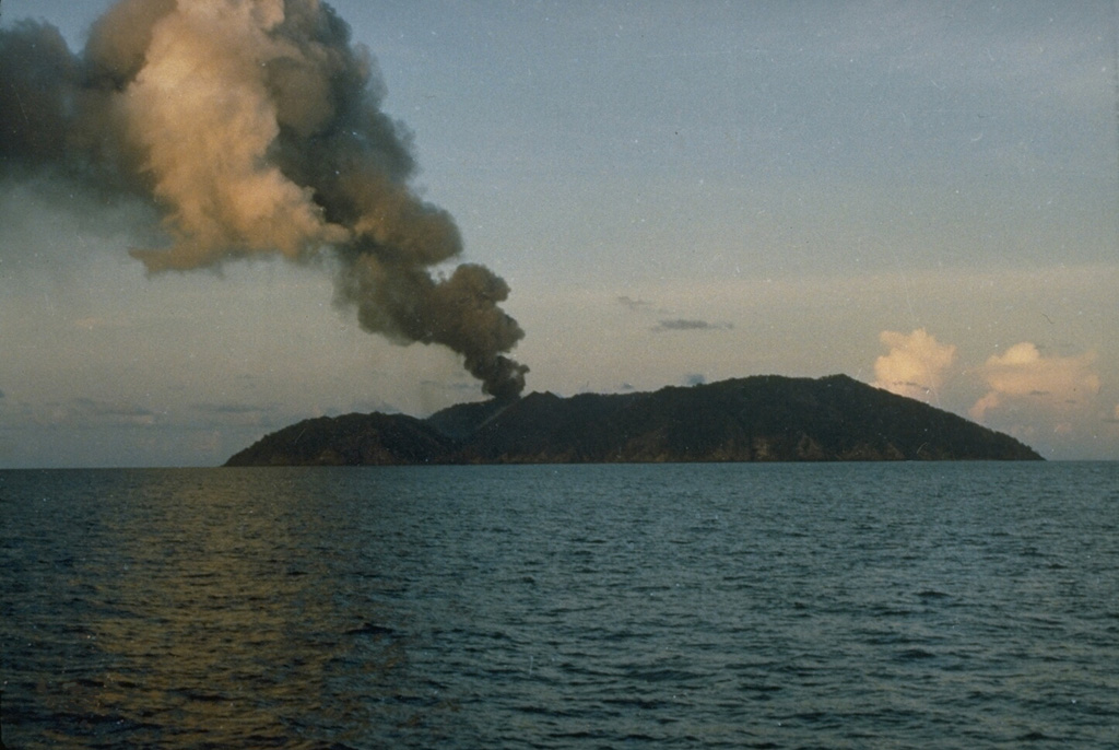
April 11, 2024. EN. Iceland : Reykjanes Peninsula , Chile : Laguna del Maule , Italy / Sicily : Etna , India : Barren Island , Colombia : Chiles / Cerro Negro .
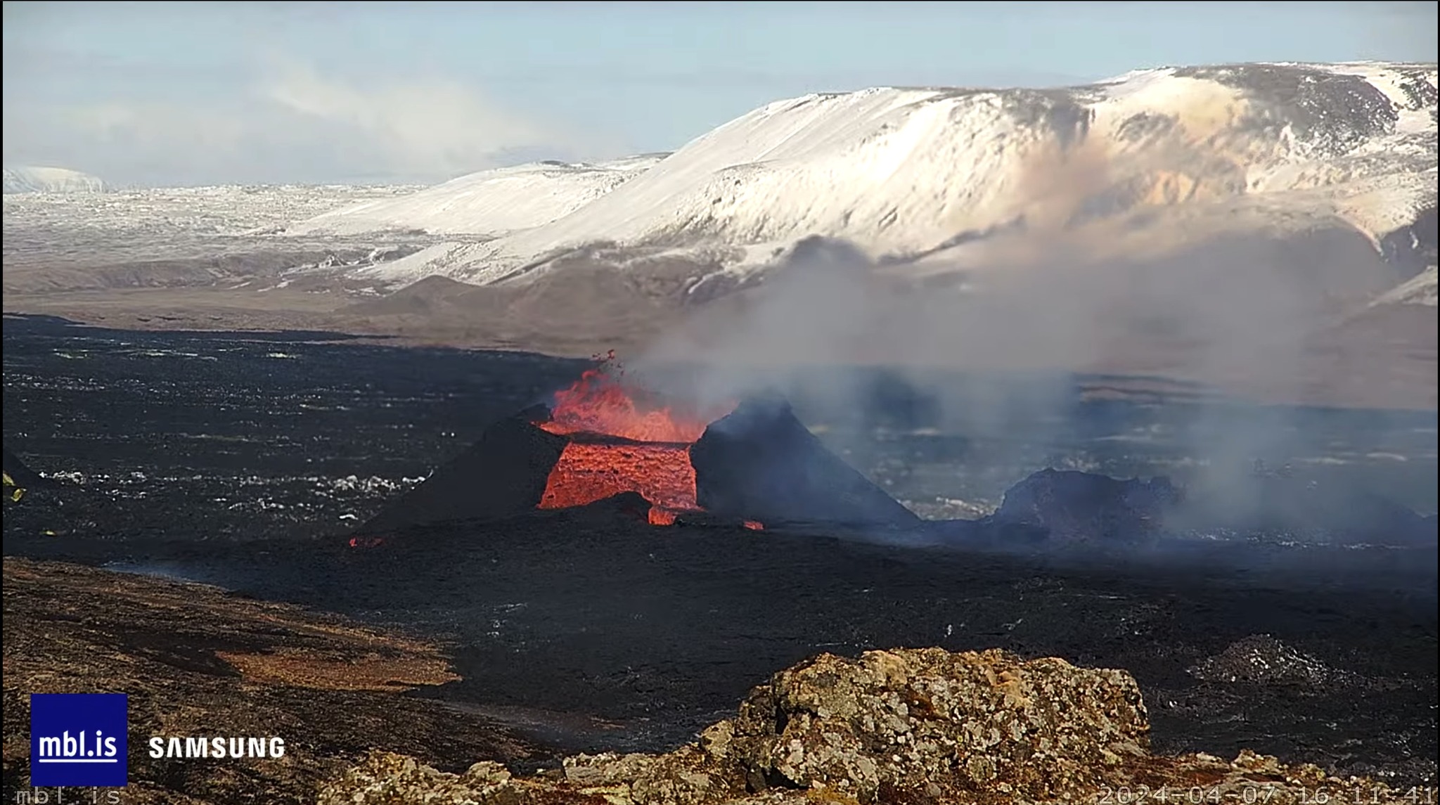
April 11 , 2024. Iceland , Reykjanes Peninsula : The eruption continues, with only one active crater. Inflation continues in Svartsengi, around 2 to 3 cm between April 2 and…