October 25 , 2026.
La Réunion , Piton de la Fournaise :
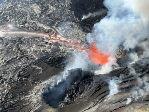
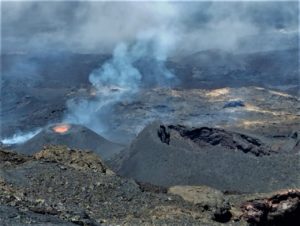
146 summit-area earthquakes and deformations of the summit zone were recorded within one hour, indicating a magmatic intrusion toward the surface. The magma did not reach the surface; its ascent stopped at depth.
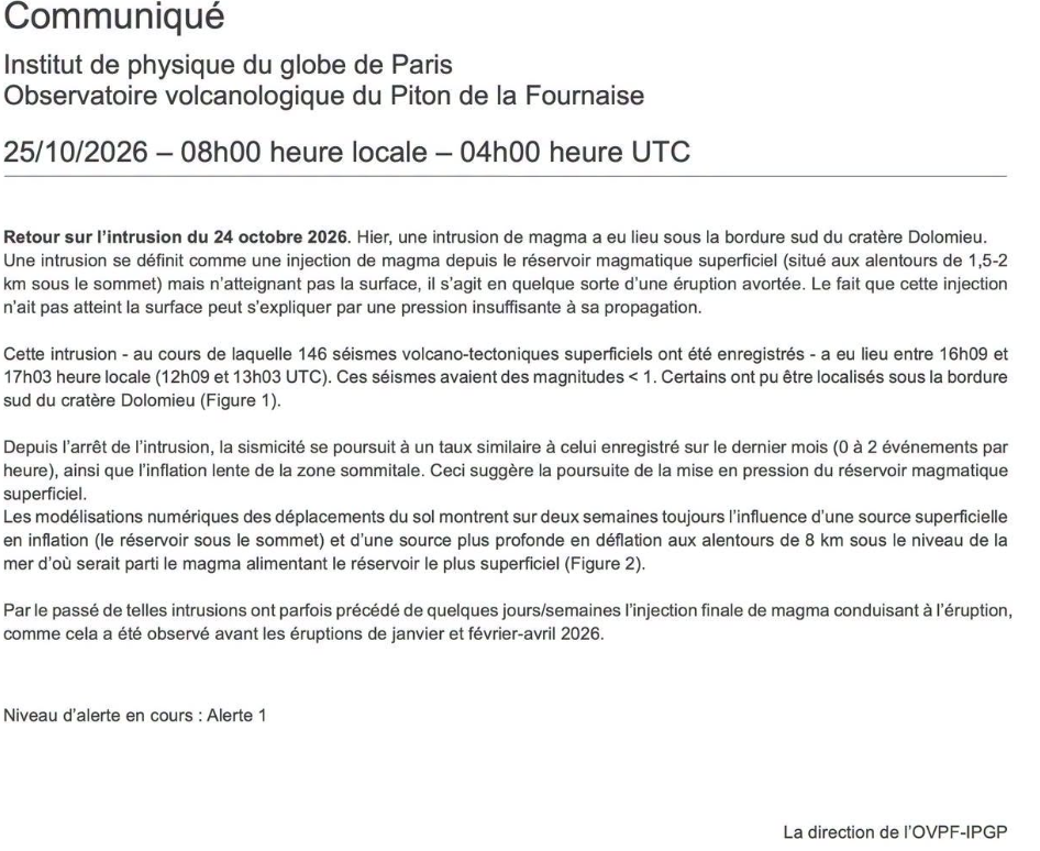
The prefect has decided to trigger the level 1 alert phase— »eruption probable or imminent »—under the specific ORSEC Volcan (civil security response organization) framework, effective this Saturday at 5:00 PM.
The OVPF website is currently inaccessible.
Source : OVPF
Ecuador , El Reventador :
DAILY STATUS REPORT FOR REVENTADOR VOLCANO, Saturday, October 24, 2026.
Information from the Geophysical Institute – EPN.
Surface activity level: High; Surface trend: Unchanged
Internal activity level: Moderate; Internal trend: Unchanged
From October 23, 2026, 11:00 AM to October 24, 2026, 11:00 AM:
Seismicity:
Explosions (EXP): 85
Long-period (LP) events: 15
Emission tremors (TREMI): 12
Harmonic tremors (TRARM): 6
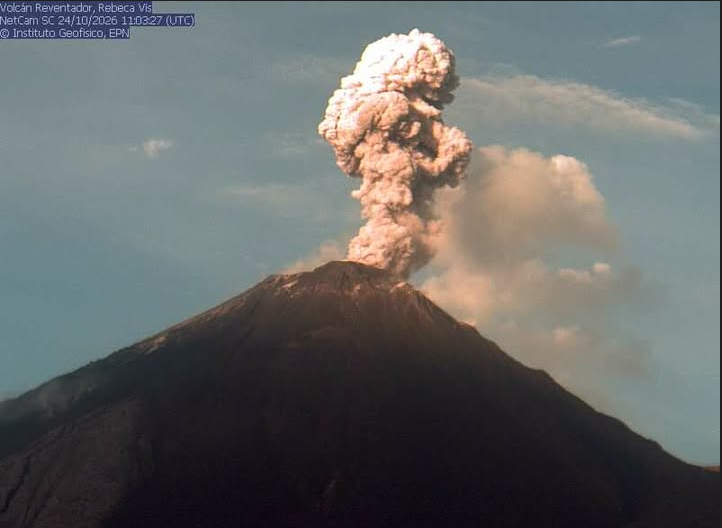
Precipitation / Lahars:
No precipitation has been recorded in the area. **Heavy rainfall could remobilize accumulated materials and trigger debris-laden mudflows (lahars) that may descend the volcano’s flanks and flow into adjacent rivers.**
Emission Plume / Ash:
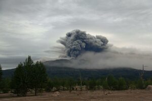
Since yesterday afternoon, several gas and ash emissions have been captured by surveillance cameras, moving toward the southwest and west and reaching heights of 500 to 1,000 meters above the crater rim. In connection with this activity, the Washington VAAC issued two reports noting ash emissions rising 1,000 meters above the crater rim, moving toward the west.
Other Monitoring Parameters:
The MIROVA-VIIRS satellite system detected 5 thermal anomalies, while the FIRMS system recorded 13 over the last 24 hours.
Observation:
During the night and early morning hours, the surveillance camera network captured several instances of incandescent material descending the volcano’s flanks, reaching an elevation 1,200 meters below the crater rim. At the time of this report, the volcano is completely obscured by clouds.
Alert Level – SGR: Orange
Source et photo : IGEPN.
Indonesia , Karangetang :
An eruption of Mount Karangetang, in North Sulawesi, occurred on Saturday, October 24, 2026, at 10:19 PM WITA (Central Indonesian Time). The eruption was not observed visually. It was recorded on a seismogram, with a maximum amplitude of 50.0 mm and an initial duration of approximately 83.0 seconds. At the time this report was written, the eruption was still ongoing.
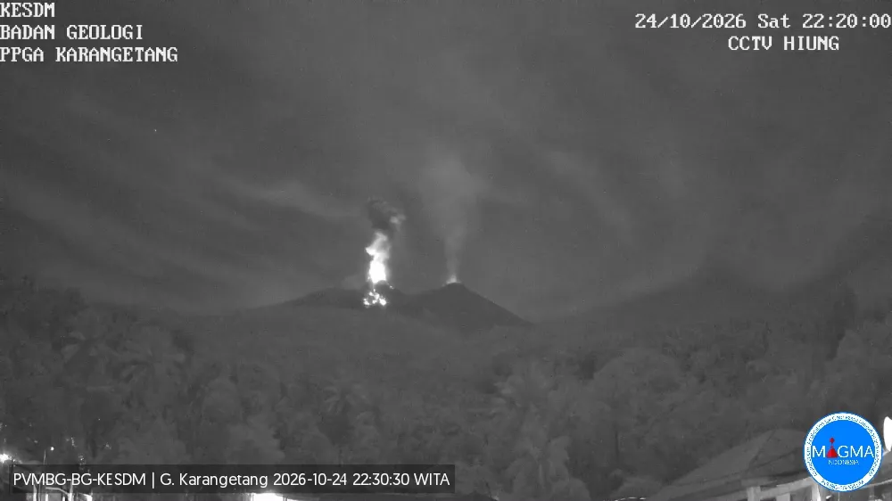
Seismic data
100 non-harmonic tremors, with an amplitude of 3.0 to 50.0 mm and a duration of 27.0 to 371.0 seconds.
1 local tectonic earthquake, with an amplitude of 15.0 mm and a duration of 48.0 seconds.
9 distant tectonic earthquakes, with an amplitude of 5.0 to 30.0 mm and a duration of 35.0 to 93.0 seconds.
203 emission-related earthquakes, with an amplitude of 4.0 to 50.0 mm and a duration of 22.0 to 195.0 seconds.
37 harmonic tremors, with an amplitude of 5.0 to 50.0 mm and a duration of 31.0 to 343.0 seconds.
47 rockfall or avalanche-related earthquakes, with an amplitude of 2.0 to 20.0 mm and a duration of 18.0 to 99.0 seconds.
9 deep volcanic earthquakes, with an amplitude of 5.0 to 50.0 mm and a duration of 6.0 to 29.0 seconds.
1 eruption-related earthquake, with an amplitude of 50.0 mm and a duration of 175.0 seconds.
2 shallow volcanic earthquakes, with an amplitude of 10.0 to 20.0 mm and a duration of 6.0 to 10.0 seconds.
Recommendations
(1) The public, as well as visitors and tourists, are advised not to approach, hike in, or conduct any activities within the designated danger zone. This zone encompasses a 1.5 km radius around the summits of Kawah Dua (the northern crater) and the main crater (the southern crater), as well as an extended sector reaching 2.5 km toward the south-southwest.
(2) Remain vigilant regarding the risk of lava avalanches and pyroclastic flows, which may occur at any time due to the instability of previously accumulated volcanic materials—which remain prone to collapse—particularly in areas located to the south, southeast, west, and southwest.
Source et photo : PVMBG.
Colombia , Puracé – Los Coconucos volcanic chain :
Popayán, October 21, 2026, 4:20 PM
As part of the ongoing monitoring of the Puracé volcano—part of the Los Coconucos volcanic chain (CVLC)—the Colombian Geological Service (SGC), an agency under the Ministry of Mines and Energy, reports the following:
During the week of October 13 to 19, 2026, seismicity associated with fluid movement (gases and liquids originating from magma and their interaction with the hydrothermal system) remained at levels comparable to those of the previous week. These events continued to be concentrated primarily beneath the crater of the Puracé volcano, at depths of less than 2 km.
Seismicity associated with rock fracturing (VT events) remained at levels similar to those recorded the previous week in terms of the number of events; these were located to the northeast of the volcano, at distances ranging from 12 to 16 km and at depths between 8 and 14 km. One event with a magnitude of 2.5 ML was recorded. Additionally, in the area where the Puracé and Piocollo volcanoes converge, seismic events were detected at depths between 1 and 4 km, all with low magnitudes.
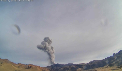
Emission event at the Puracé volcano on October 19, 2026, at 07:05. Image captured by the Púlpito camera, located 5.6 km southwest of the Puracé volcano.
A process of slow ground deformation continues in the area between the Puracé, Piocollo, and Curiquinga volcanoes. Furthermore, significant levels of sulfur dioxide (SO₂) and carbon dioxide (CO₂) emissions into the atmosphere continue to be recorded, with daily emission quantities reaching up to 351 tonnes and 1,200 parts per million, respectively. Satellite observations have identified low-energy thermal anomalies within the crater itself during this period.
Thirty-seven ash emission events were recorded, some reaching altitudes of more than 2 kilometers above the volcano’s summit; continuous degassing was also observed. The ash dispersed primarily toward the northwest and west of the volcano. Reports of these emissions were received from residents of Coconuco, Puracé, Paletará, and several hamlets within the municipality of Sotará.
In conclusion, the variations observed at the Puracé volcano (CVLC) indicate that the system remains unstable across several monitored parameters. It is possible that ash emissions and fallout will continue, with their dispersion depending on the prevailing wind direction. Moreover, the occurrence of further changes in volcanic activity—potentially leading to more energetic surface manifestations—cannot be ruled out.
The volcanic alert level remains at « Yellow, » indicating an active volcano showing deviations from the baseline behavior of monitored parameters, along with other manifestations.
Source et photo : SGC.
Costa Rica , Rincon de la Vieja / Poas :
Daily Volcano Status Report. OVSICORI-UNA, Date: 24/10/2026. Updated at: 07:43:00.
Volcano: Rincón de la Vieja
Latitude: 10.83
Longitude: -85.324
Elevation: 1,916 m above sea level
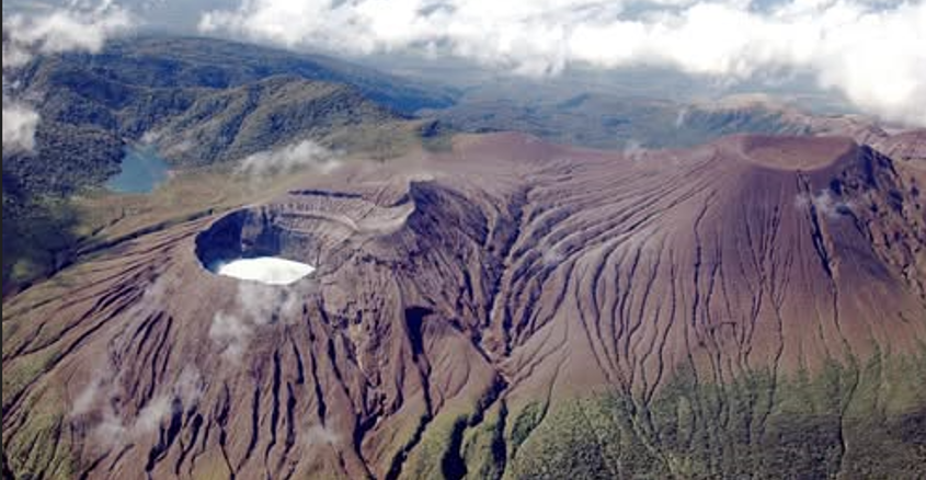
Observed activity:
Periodic, episodic tremor (« banded » tremor) of moderate amplitude has been recorded since yesterday. Continuous tremor of low amplitude, with frequencies ranging between 0.5 and 8 Hz, has also been detected. Long-period (LP) earthquakes have been recorded, along with a small eruption today at 05:01. Camera imagery shows low-level degassing.
Environmental conditions:
Strong winds are blowing toward the southwest. Visibility of the summit has been good, both yesterday and today.
Activity level: Caution (3)
Volcano: Poás
Latitude: 10.200
Longitude: -84.233
Elevation: 2,687 m above sea level
Observed activity:
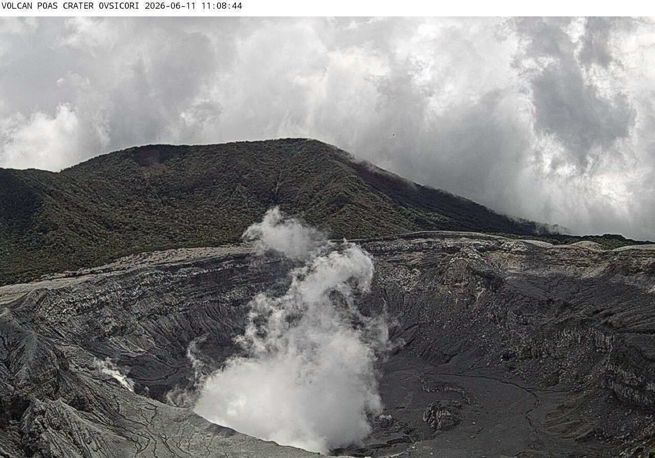
Continuous tremor of moderate amplitude is being recorded, with frequencies ranging between 0.7 and 12 Hz. No gas data is available for today; however, CO2/SO2 and H2S/SO2 ratios, as well as SO2 concentration, have remained stable over the last few days. Camera imagery shows low-level degassing at the lake. No specific activity (such as bubbling) is observed within the lake.
Environmental conditions:
The wind is blowing toward the southwest. Visibility of the crater via the cameras is good.
Niveau d’activité : Avertissement (2)
Source et photos : Ovsicori