September 8 , 2026.
Hawaii , Kilauea :
HVO/USGS Volcanic Activity Notice
Current Volcano Alert Level: WATCH
Previous Volcano Alert Level: ADVISORY
Current Aviation Color Code: ORANGE
Previous Aviation Color Code: YELLOW
Issued: Monday, September 7, 2026, 1:00 PM HST
Source: Hawaiian Volcano Observatory
Notice Number: 2026/H427
Location: N 19 deg 25 min W 155 deg 17 min
Elevation: 4091 ft (1247 m)
Area: Hawaii
Summary:
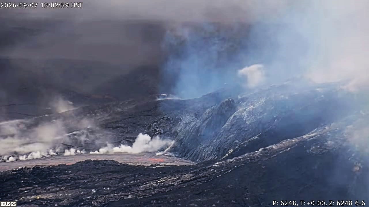
Precursory low-level eruptive activity before episode 55 of the ongoing Halemaʻumaʻu eruption began around 15:45 p.m. HST on September 7, 2026.
Volcanic Activity:
Precursory low-level activity for episode 55 of the ongoing Halemaʻumaʻu eruption at the summit of Kīlauea began around 12:45 p.m. HST on September 7, 2026 with a sluggish overflow from the north vent. Accordingly, HVO is raising the Alert Level for Kīlauea from ADVISORY to WATCH and the Aviation Color Code from YELLOW to ORANGE.
This low-level precursory activity can continue for hours to days before the lava fountaining episode beings. The forecast for episode 55 of lava fountaining to start is between September 7-10. Another VAN will be published when lava fountaining episode 55 begins. Current winds are light from the south and have potential to send volcanic fumes, and possibly tephra during fountaining, northwards past the rim of Kaluapele.
Source et photo : HVO.
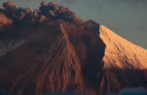
Indonesia , Anak Krakatau :
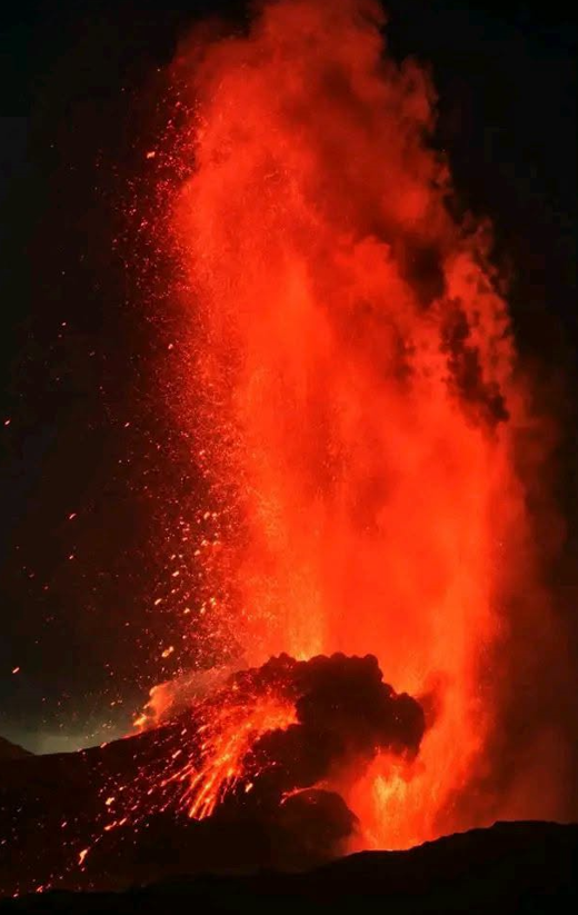
An eruption of Mount Anak Krakatau occurred on Tuesday, September 8, 2026, at 11:34 a.m. (WIB). The height of the eruption column was not observed. The eruption was recorded by the seismograph with a maximum amplitude of 50 mm and a duration of 17 seconds.
Seismic observations
2 eruptive earthquakes with amplitudes of 48–50 mm and durations of 17–19 seconds.
5 low-frequency earthquakes with amplitudes of 23–59 mm and durations of 4–6 seconds.
9 hybrid/multiphase earthquakes with amplitudes of 17–45 mm and durations of 5–10 seconds.
1 continuous tremor with an amplitude of 3–8 mm (dominant amplitude of 5 mm).
Recommendations
The public, visitors, tourists, and hikers are advised not to approach Mount Anak Krakatau or engage in activities within a 3 km radius of the active crater.
Source : PVMBG
Photo : El Vulcanoso .
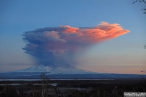
Chile / Argentina , Villarica :
SPECIAL REPORT ON VOLCANIC ACTIVITY, September 5, 2026.
The Argentine Geological and Mining Service (SEGEMAR)—through the Argentine Volcanic Monitoring Observatory (OAVV) and based on information provided by Chile’s Southern Andes Volcanological Observatory (OVDAS)—reports that during August and early September, volcanic monitoring stations managed by OVDAS near Villarrica Volcano recorded a notable increase in the volcano’s seismic and surface activity.
This rise in seismicity—manifested primarily through variations in the continuous seismic signal measured by RSAM (a measure of seismic amplitude averaged over time intervals)—peaked at 0.25 µm/s in August. However, following August 29, a seismic episode linked to fluid dynamics within the volcano caused a sharp drop followed by a gradual rise, interspersed with periods of higher seismic signal energy.
Additionally, acoustic signals corresponding to minor crater explosions were recorded, accompanied by emissions of ballistic pyroclasts, incandescence, and thermal anomalies.
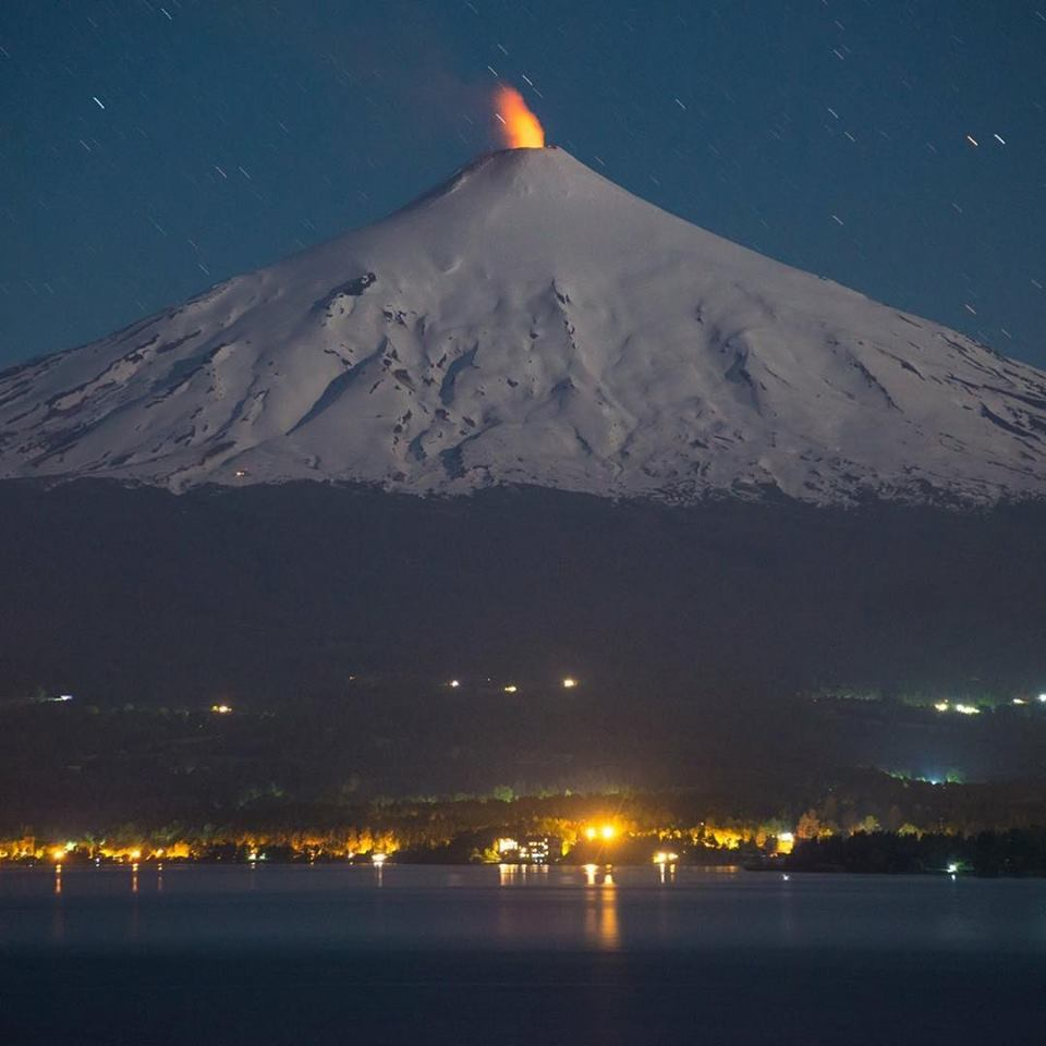
In this context, the observed seismic changes and surface manifestations indicate a state of heightened activity and instability—consistent with the rise of the lava lake to shallower levels—signaling that the volcano is operating above its usual baseline. For this reason, and as a precautionary measure, Chile’s OVDAS has raised the technical alert level for Villarrica Volcano to YELLOW, while the OAVV will maintain constant communication with OVDAS regarding the evolution of volcanic activity and any potential impact on Argentine territory.
OBSERVATIONS:
It is important to note that the variations recorded in the volcano’s seismic signal are closely linked to the dynamics of the lava lake located within the active crater.
Under current conditions, observed impacts remain confined to Chilean territory—specifically in areas near the volcano’s crater—with no direct impact on Argentine territory. However, the possibility of further episodes involving similar or greater energy levels cannot be ruled out; these could involve the ejection of pyroclastic material, with effects limited to the immediate vicinity of the crater.
CONCLUSIONS
The technical alert level has been raised; monitoring efforts and joint cooperation will continue with Chile’s Southern Andes Volcanological Observatory (OVDAS) as well as with local and provincial authorities. These activities will be continuously coordinated with the Federal Emergency Agency (AFE) within the framework of our National Integrated Risk Management System (SINAGIR), and updates regarding any changes will be provided.
Source : Segemar .
Photo : Martini Fotografía.
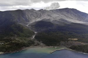
La Réunion , Piton de la Fournaise :
Observations
In August 2026, the OVPF-IPGP recorded a total of the following events at the Piton de la Fournaise massif:
• 24 shallow volcano-tectonic earthquakes (0.2 to 1.5 km above sea level), mostly beneath the Bory and Dolomieu summit craters;
• 30 deep earthquakes (below sea level) located beneath the western part of the summit cone and the eastern flank;
• 113 rockfalls or collapses.
August 2026 was characterized by relatively low seismic activity beneath Piton de la Fournaise, with 24 shallow volcano-tectonic earthquakes (above the shallow magma reservoir) and 30 deep earthquakes located at depths of 6 to 8 km below sea level—west of the summit—as well as beneath the volcano’s eastern flank at depths of 1 to 3 km below sea level. This seismicity remains higher than during the period of quiescence at Piton de la Fournaise between August 2023 and November 2025.
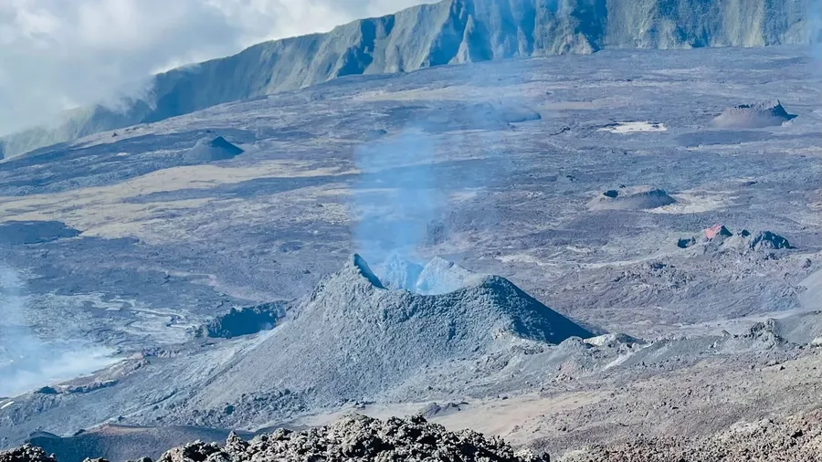
113 rockfalls were also observed. As is typically the case, these rockfalls were located partly at the summit of Piton de la Fournaise and the Rivière de l’Est escarpment, but also at the eruptive cones and recent lava flows on the east-southeast flank of Piton de la Fournaise.
Deformation:
Following the cessation of inflation observed in June 2026, slight inflation of the edifice was recorded in August 2026, accompanied by a minor increase in distances between station pairs located on either side of the summit craters. The extension across the summit area is less than 1 cm. Displacement vectors and the 3D linear strain map indicate an inflation source located at the summit of the edifice.
Numerical modeling of the sources driving these deformations indicates that, for the period from August 1 to August 31, 2026, there was a primary inflation source—slightly offset beneath the western edge of the summit area—located approximately 1 km above sea level. A secondary deflation source is located beneath the eastern flank at a depth of about 10 km below sea level.
The shallow source could be linked to a slight pressurization of the shallow magmatic reservoir.
Summary
In August 2026, slight inflation of the edifice was recorded, indicating minor pressurization of the shallow reservoir. Shallow seismicity beneath the summit remained low during August. However, deep seismic activity persisted, potentially suggesting deep-seated fluid movement.
Source : OVPF.
Photo : Cynthia Veron
Guatemala , Santiaguito :
Weather conditions: Clear skies
Wind: Northeasterly
Precipitation: 1.27 mm
Volcanic activity:
Continuous degassing is observed at the Caliente dome; the plume reaches a height of 300 meters and drifts towards the west and southwest. Low- to moderate-intensity explosions have been recorded, generating a gas and ash column rising up to 800 meters above the dome and drifting towards the west and southwest.
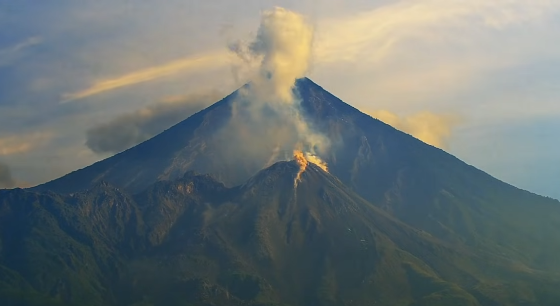
During the night and early morning, incandescence is visible at the summit of the dome and on its western and southwestern flanks, resulting from recurring avalanches cascading down these slopes. The formation of pyroclastic density currents cannot be ruled out; it is therefore imperative to adhere to the recommendations outlined in special bulletin BESAN-002-2026.
Precipitation over the volcanic area could trigger low- to moderate-intensity lahars in the watercourses on the southern flank (including Nimá I, Tambor, and Cabello de Ángel); consequently, the recommendations in special bulletin BESAN-016-2026 must be followed.
Source : Insivumeh.
Photo : Afar TV.