Italy / Sicily , Etna :
WEEKLY BULLETIN, September 28, 2026 – October 4, 2026 (Date of issue: October 6, 2026)
SUMMARY OF ACTIVITY STATUS
Based on monitoring data, the following is noted:
1) VOLCANOLOGICAL OBSERVATIONS: Variable degassing activity at the summit craters and weak, intermittent ash emissions from the Northeast Crater.
2) SEISMOLOGY: Absence of fracturing seismic activity with magnitude Ml ≥ 2.0. Average volcanic tremor amplitude at a low level.
3) INFRASOUND: Low-level activity localized at the Northeast Crater, followed by the Bocca Nuova Crater.
4) GROUND DEFORMATION: Signals from ground deformation monitoring networks showed no significant variations.
5) GEOCHEMISTRY: SO2 flux at a medium level.
Soil CO2 flux (Etnagas): average values.
Partial pressure of dissolved CO2 in groundwater (EtnaAcque network): no update.
Helium isotope ratio at peripheral sites: the latest data from September 22, 2026, confirm high values.
SO2/HCl ratio (FTIR): average to high values.
6) SATELLITE OBSERVATIONS: Thermal activity observed by satellite in the summit area was at a low to medium level.
7) OTHER OBSERVATIONS: Data from the RADONETNA network during the week of September 28 to October 4, 2026, showed few potential anomalies, primarily negative and short-lived. Apparent abnormal variations appeared at sites ERN3, ERN7, and ERN8.
VOLCANOLOGICAL OBSERVATIONS
During the week in question, monitoring of Etna’s volcanic activity was conducted through the analysis of images from the INGV–Osservatorio Etneo (INGV-OE) surveillance camera network, as well as through field inspections carried out by INGV-OE personnel.
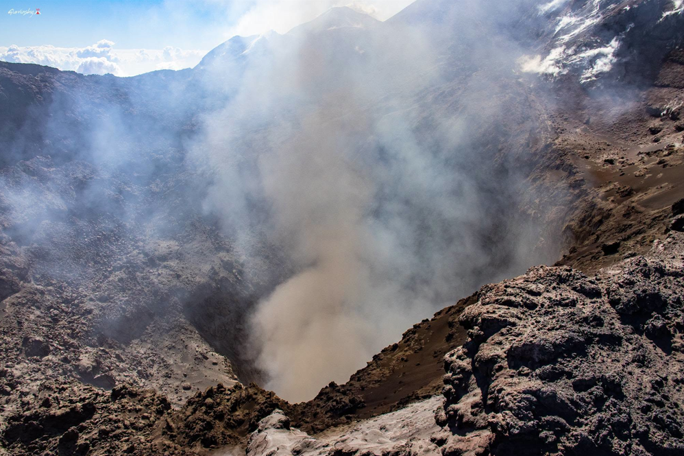
Activity at Etna’s summit craters was characterized solely by minor ash emissions from the Northeast Crater; these emissions were very brief and varied in frequency and intensity, though they remained lower than those observed the previous week (see report no. 40/2026 ETNA).
Finally, regarding the other summit craters—Voragine and the Southeast Crater—they exhibited the usual fumarolic activity from numerous fractures along the crater rims, while activity at the Bocca Nuova crater was characterized by degassing from the BN-1 vent.
Source : INGV
Photo : Giovinsky Aetnensis
Italy , Stromboli :
WEEKLY BULLETIN, September 28, 2026 – October 4, 2026 (issue date: October 6, 2026)
SUMMARY OF ACTIVITY STATUS
Based on monitoring data, the following is noted:
1) VOLCANOLOGICAL OBSERVATIONS: Ordinary Strombolian eruptive activity across both crater zones, accompanied by spattering in the North crater zone. Frequency of total explosive activity (including the North crater zone) at a medium level, and at a medium-low level for the Central-South crater zone; explosion intensity was medium in both the North and Central-South crater zones. Lava overflow from the North crater zone occurred on October 1.
2) SEISMOLOGY: Monitored seismic parameters show no significant variations.
3) GROUND DEFORMATION: Signals from ground deformation monitoring networks showed no significant variations.
4) GEOCHEMISTRY: SO2 flux at a medium and decreasing level.
Soil CO2 flux (Pizzo zone – STR02): no update.
C/S ratio in the plume: no update.
Helium isotope ratio (R/Ra): no update.
Soil CO2 flux in the San Bartolo zone: high values.
Soil CO2 flux in the Scari zone: no update.
5) SATELLITE OBSERVATIONS: Satellite-observed thermal activity in the summit area was at a medium level during the lava overflow episode on October 1, 2026.

VOLCANOLOGICAL OBSERVATIONS
Observations of explosive activity captured by surveillance cameras
During the observation week, Stromboli’s eruptive activity was characterized through the analysis of images recorded by INGV-OE surveillance cameras located at 190 m above sea level and at Punta dei Corvi (SCT-SCV and SPCT, respectively). Explosions in the North crater area (Zone N) primarily produced coarse material (bombs and lapilli); in the Central-South crater area (Zone CS), explosions produced predominantly fine material mixed with coarse material.
The average explosion frequency in Zone N fell within a medium range, and intensity remained at a generally medium level. In Zone CS, the average explosion frequency was at a medium-low level, and the intensity of explosive activity was generally medium.
The total daily average hourly frequency of explosions (Zone N + Zone CS) was at a medium level.
NON-ORDINARY ACTIVITY
Effusive activity via lava overflow (times in UTC)
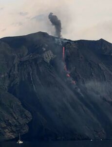
On October 1, an episode of lava emission via overflow occurred from the North crater area.
The event began in the early morning hours and ended around 07:52 UTC. It generated a modest lava flow that split into two branches, with flow fronts stalling in the upper part of the Sciara del Fuoco.
Source : INGV
Photo : Stromboli stati d’animo / Sebastiano Cannavo
Alaska , Gareloi :
AVO/USGS Volcanic Activity Notice
Current Volcano Alert Level: NORMAL
Previous Volcano Alert Level: ADVISORY
Current Aviation Color Code: GREEN
Previous Aviation Color Code: YELLOW
Issued: Tuesday, October 6, 2026, 10:37 AM AKDT
Source: Alaska Volcano Observatory
Notice Number: 2026/A762
Location: N 51 deg 47 min W 178 deg 47 min
Elevation: 5161 ft (1573 m)
Area: Aleutians
Summary:
Unrest has declined. Color Code and Alert Level Level lowered to GREEN/NORMAL.
Volcanic Activity:
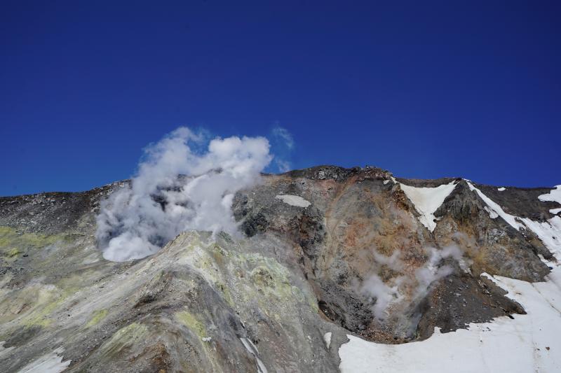
Unrest has declined to background levels following the small explosion at Mount Gareloi on October 1, 2026. The minor explosion is interpreted as an isolated event related to persistent hydrothermal activity, rather than an indication of increased volcanic activity. The Aviation Color Code and Alert Level are being lowered to GREEN/NORMAL.
Remarks:
Mount Gareloi, which makes up all of Gareloi Island, is a stratovolcano located in the Delarof Islands group of the Aleutian Islands, about 2,000 km (1,242 mi) west-southwest of Anchorage and about 150 km (93 mi) west of Adak, the westernmost community in Alaska. This small volcano is 10 × 8 km (6.2 × 5.0 mi) in diameter at its base with two summits, separated by a narrow saddle. The northern, slightly higher peak contains crater about 300 m (1,000 ft) across. The southern summit has a crater open to the south and a persistent degassing vent (fumarole) on its western rim. Gareloi has been one of the most active in the Aleutians since the 1740s, with 16 reports of eruptive activity at Gareloi since 1760. In 1929, its largest historical eruption produced sixteen small south- to southeast-trending craters that extend from the southern summit to the coast, as well as lava flows and pyroclastic deposits on the southeastern flank of the volcano. Eruptions of Gareloi commonly produce ash clouds and lava flows, and the primary hazard is airborne clouds of ash that could affect aircraft. Since seismic instruments were installed in 2003, they have detected small but consistent seismic signals from beneath Mount Gareloi’s edifice.
Source : AVO.
Photo : Lopez Tarin , AVO / University of Alaska Fairbanks, Geophysical Institute
Indonesia , Karangetang :
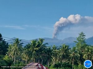
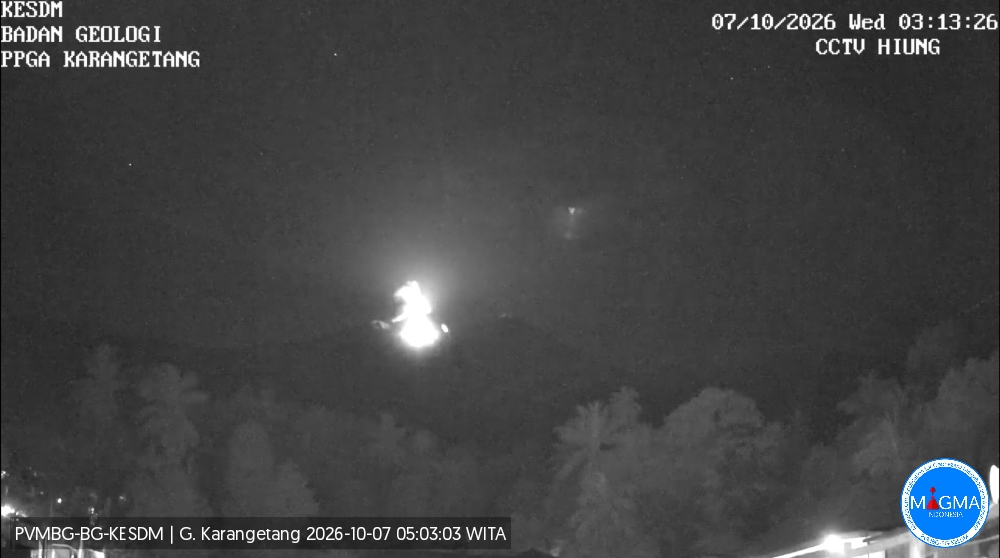
An eruption of Mount Karangetang occurred on Wednesday, October 7, 2026, at 03:12 WITA. The eruption was not visually observed. At the time of writing this report, the eruption was still ongoing.
Seismic observations
2 eruption earthquakes with an amplitude of 50 mm and a duration of 52 to 76 seconds.
11 rockfall-related earthquakes with an amplitude of 2 to 10 mm and a duration of 39 to 111 seconds.
83 gas emission-related earthquakes with an amplitude of 7 to 50 mm and a duration of 24 to 90 seconds.
63 harmonic tremors with an amplitude of 2 to 50 mm and a duration of 25 to 648 seconds.
57 episodes of non-harmonic tremor with amplitudes of 2–50 mm and durations of 31–321 seconds.
1 « Tornillo »-type earthquake with an amplitude of 5 mm and a duration of 20 seconds.
2 shallow volcanic earthquakes with amplitudes of 3–4 mm and durations of 7–18 seconds.
4 deep volcanic earthquakes with amplitudes of 5–50 mm and durations of 11–25 seconds.
2 local tectonic earthquakes with an amplitude of 50 mm and durations of 34–43 seconds.
6 distant tectonic earthquakes with amplitudes of 7–50 mm and durations of 27–101 seconds.
Recommendations
(1) The public, visitors, and tourists must not approach, hike in, or conduct activities within the designated hazard zone. This zone is defined as a 1.5 km radius around the summits of Kawah Dua (North Crater) and the main crater (South), plus a sector extending 2.5 km to the south-southwest.
(2) Remain vigilant regarding lava avalanches and pyroclastic flows—which could occur at any time due to the accumulation of previously deposited lava material—as conditions remain unstable and prone to collapse, particularly in the south, southeast, west, and southwest sectors.
Source et photo : PVMBG.
Colombia , Chiles – Cerro Negro :
San Juan de Pasto, October 6, 2026, 3:50 PM.
Based on monitoring of activity at the Chiles-Cerro Negro volcanic complex (CVCCN), the Colombian Geological Service (SGC)—an agency attached to the Ministry of Mines and Energy—
reports the following:
For the period from September 29 to October 5, 2026, the main variations in monitored parameters compared to the previous week were as follows:
● Amidst low and fluctuating seismic activity, a slight increase in the frequency of events was recorded, while the energy released decreased. The predominant seismicity remained that associated with rock-fracturing processes, followed by activity linked to fluid dynamics.
● Earthquakes were concentrated primarily in two clusters. The first, located in the summit area of Chiles Volcano, showed epicentral distances of less than 3 km, depths ranging from 1.9 to 4.9 km relative to the Chiles summit (4,700 m above sea level), and a maximum magnitude of 1.3. The second cluster was situated between Cerro Negro and Chiles volcanoes, with epicentral distances between 2.5 and 3.0 km, depths between 3.0 and 3.7 km, and a maximum magnitude of 0.2. Additionally, scattered seismicity was recorded at distances ranging from 3 to 19 km, at depths of 2 to 15 km, and with a maximum magnitude of 1.1.
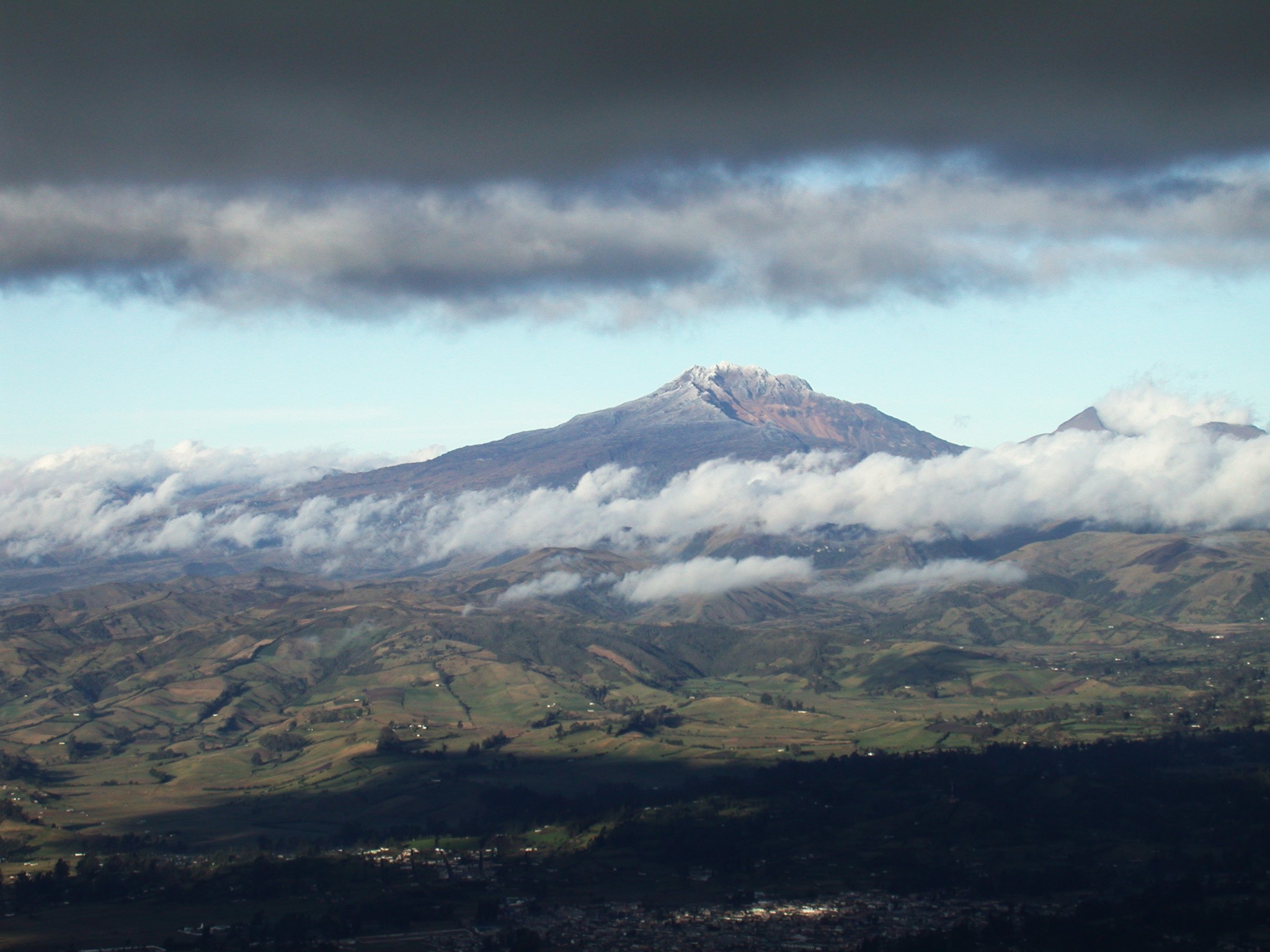
● Analysis of data collected by satellite sensors and ground stations has continued to reveal variations associated with deformation processes in the volcanic zone.
Based on the assessment and correlation of the monitored parameters, the SGC recommends closely tracking their evolution via weekly bulletins and other information released through our official channels, as well as adhering to the instructions of local and departmental authorities and the National Unit for Disaster Risk Management (UNGRD).
Volcanic activity remains at the yellow alert level: an active volcano exhibiting changes in the baseline behavior of monitored parameters and other manifestations.
Source et photo : SGC.