October 31 , 2026.
Costa Rica , Rincon de la Vieja :
OVSICORI-UNA Weekly Volcanic Monitoring Bulletin, October 30, 2026
Latitude: 10.83° N;
Longitude: 85.34° W;
Elevation: 1,916 m above sea level.
Current activity level: Warning.
During this week, 7 eruptions were recorded; none exceeded an acoustic magnitude of 4 (moderate). Most of these eruptions were of low magnitude. Compared to the previous week, there has been a decrease in eruptive activity and acoustic pulses. Background tremor is dominated by sequences of « banded tremors, » which—when visibility conditions allow—are associated with more intense emissions of water vapor and volcanic gases. These sequences exhibit variations in amplitude, tremor duration, and the intervals between tremor episodes. From October 25 to 27, an increase in the seismic amplitude of these events was observed, accompanied by longer intervals between tremor episodes. Some of these events feature acoustic tremor, as well as a long-period (LP) type signal following the tremor. Long-period (LP) seismic signals and « tornillo » (screw-shaped) signals persist, with a slight increase in LP signals associated with the banded tremors. The frequency of « tornillo » signals has been declining for three weeks. This week, 7 distal volcano-tectonic earthquakes and one proximal earthquake (relative to the crater) were recorded. Eruptions generally tend to occur when a significant drop in the amplitude of low-frequency tremor is observed. This suggests the formation of a plug that accumulates volatile compounds, subsequently leading to the rupture of this plug and the triggering of the eruption.
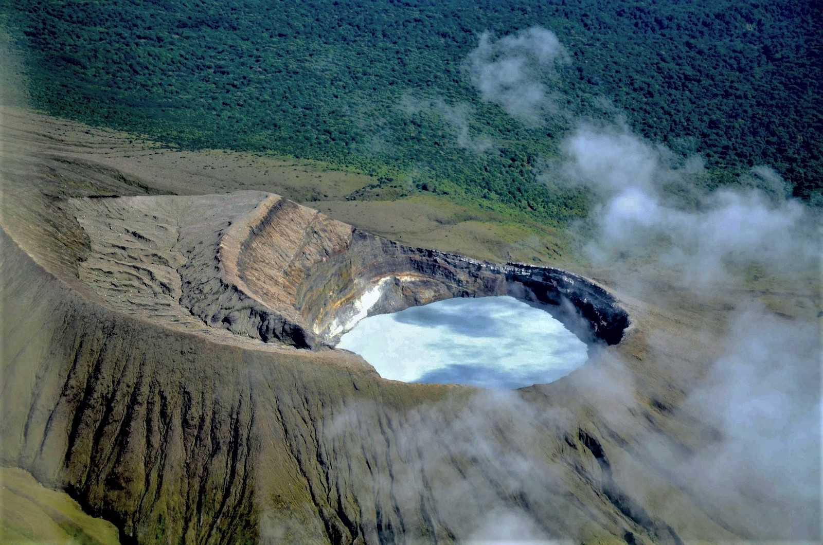
Over the medium term (six months), a slight expansion of the volcano’s base has been detected. In the short term, subsidence is being observed at stations located to the north. The GNSS station at the summit has shown no significant vertical movement over the past week. The MultiGAS station recorded a CO2/SO2 ratio of 5.6 ± 1.9—a higher value than the 4.1 ± 1.4 recorded the previous week. A gradual increase in this ratio has been observed since early October, suggesting a decrease in the SO2 supply relative to CO2. The average SO2 flux this week is 328 ± 95 tonnes per day (t/d), with a maximum value of 2,531 t/d; this average is comparable to that of the previous week, which saw an average flux of 371 ± 131 t/d and a maximum of 2,175 t/d. The most recent detection of atmospheric SO2 by the Sentinel satellite occurred on October 1, 2026, with a measured mass of 68 tonnes.
Given the current activity of the Rincón de la Vieja volcano and the observed trends, it is no longer classified at the « PRECAUTION » activity level; it has therefore been downgraded to the « WARNING » level. It should be noted that at this level, the volcano may continue to produce unpredictable eruptions, including energetic events capable of generating lahars.
Source : Ovsicori.
Photo : Federico Chavarría-Kopper – Ovsicori
Italy / Sicily , Etna :
VOLCANO OBSERVATORY NOTICE FOR AVIATION (VONA)
Issued:October 30 , 2026
Volcano: Etna 211060
Current Color Code: RED
Previous Color Code: red
Source: Etna Volcano Observatory
Notice Number: 2026/0134/08E01
Volcano Location: 3744N 01500E
Area: Italy
Summit Elevation: 3300 m
Volcanic Activity Summary:
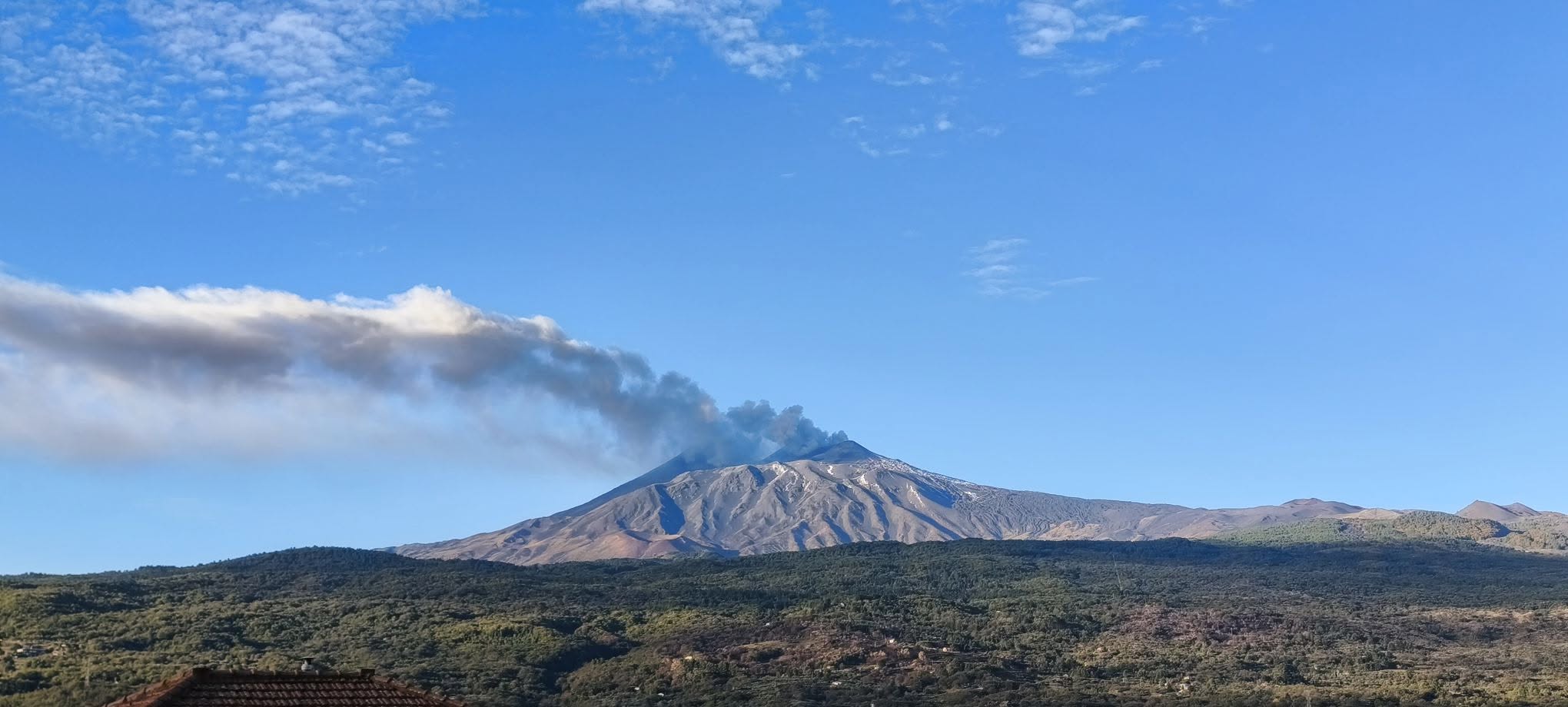
ASH EMISSION ONGOING
Volcanic cloud height:
ESTIMATED VOLCANIC CLOUD HEIGHT IS 4 KM ABOVE SEA LEVEL
Other volcanic cloud information:
ASH CLOUD MOVES TOWARD E
Remarks:
THE PHENOMENON IS OBSERVED BY VISIBLE AND
THERMAL SURVEILLANCE CAMERAS
Source : INGV
Photo : Salvatore Lo Giudice
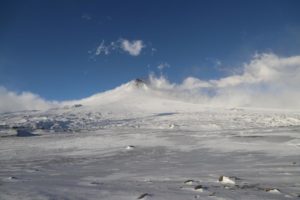
Alaska , Great Sitkin :
Minor growth of the active lava dome within the summit crater was observed in satellite imagery over the past week. The south flank of the dome is moving slowly southward and generating occasional small rockfalls. While clouds obscured most satellite views of the volcano, minor steaming from the lava dome was observed in clear webcam views. Seismic activity remains low with occasional small volcanic earthquakes and signals from minor rockfalls caused by lava flow growth.
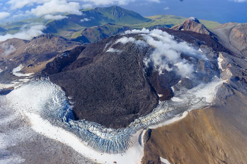
The current lava eruption began in July 2021 and has filled most of the summit crater and advanced into the valleys below. There have been no explosions at Great Sitkin Volcano since an event in May 2021. The volcano is monitored using local seismic, geodetic, and infrasound sensors, satellite data, and web cameras, and regional infrasound and lightning networks.
Source : AVO
Photo : Loewen, Matt / Alaska Volcano Observatory / U.S. Geological Survey.
Martinique , Mount Pelée :
Weekly Report – Institut de Physique du Globe de Paris / Volcanological and Seismological Observatory of Martinique
Saint-Pierre, October 30, 2026, at 14:30 local time (GMT-4)
Volcanic seismic activity
Between October 23, 2026, at 16:00 (UTC) and October 30, 2026, at 16:00 (UTC), the OVSM recorded 115 earthquakes of volcanic origin:
• 115 volcano-tectonic earthquakes. 8 of these earthquakes had a magnitude (local magnitude Mlv or duration magnitude Md) greater than 1. The largest had a magnitude of Mlv = 1.74; the others were of lower energy. The vast majority of these earthquakes were located at depths between 0.7 and 1.2 km below the volcano’s summit. Two low-energy earthquakes were located at a depth of approximately 6.5 km below sea level.
No earthquakes were reported as felt by the population.
During the previous week, the OVSM recorded 140 earthquakes of volcanic origin. As of October 30, 2026, and over the past 4 weeks, the OVSM has observed a total of 462 volcanic earthquakes, representing an average of 115 to 116 earthquakes per week.
Deformations of Mount Pelée
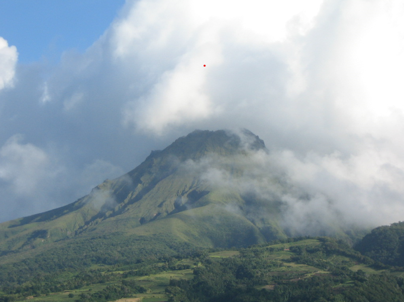
The ground displacements of several centimeters observed in the summit area of Mount Pelée over the last few months have decreased significantly. In the deformation zones near the summit, the maximum extension recorded over the past four weeks is 0.3 cm (along a 610-meter-long profile). These displacements remain consistent with a deformation of the volcanic edifice caused by an inflating pressure source, though this source can no longer be precisely localized.
The probability of eruptive activity in the short term remains low. However, based on observations gathered over the last few months and years, an evolution of the situation in the medium term (weeks to months) cannot be ruled out.
The volcanic alert level, in accordance with the protocols established by the authorities, is currently YELLOW: vigilance.
Source : Direction de l’OVSM-IPGP.
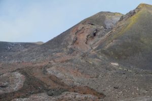
Colombia , Chiles – Cerro Negro :
San Juan de Pasto, October 27, 2026, 4:50 PM
Based on the monitoring of activity at the Chiles-Cerro Negro Volcanic Complex (CVCCN), the Colombian Geological Service (SGC)—an agency affiliated with the Ministry of Mines and Energy—
reports the following:
For the period from October 20 to October 26, 2026, the main variations in the monitored parameters, compared to the previous week, were as follows:
● Amidst fluctuating seismic activity, a decrease in the number of events was observed, while the energy released increased.
Seismicity associated with rock-fracturing processes remains predominant, followed by activity linked to fluid dynamics.
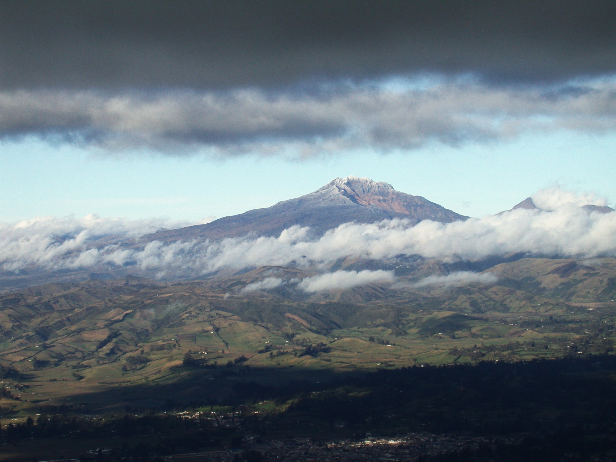
● The earthquakes were concentrated in two main areas, though with some degree of dispersion. The first area is located near the summit—within 3 km—at depths ranging from 1 to 5 km below the peak of the Chiles volcano (4,700 m above sea level). The second area is situated to the east of the volcanic edifice, at a distance of 9–10 km and at a depth of 6–8 km.
The event with the highest magnitude was recorded on October 23 at 9:11 PM; it had a magnitude of 2.1 and was located 9.7 km east of the volcano, at a depth of 7.9 km. None of the recorded earthquakes were reported as felt.
● Analysis of data collected by satellite sensors and ground-based stations continued to reveal variations associated with deformation processes in the volcanic zone.
Based on the assessment and correlation of the monitored parameters, the SGC (Colombian Geological Service) recommends closely following their evolution through weekly bulletins and other information released via our official channels. Furthermore, the public is advised to adhere to the instructions provided by local and departmental authorities, as well as those from the National Unit for Disaster Risk Management (UNGRD).
Volcanic activity remains at the « Yellow » alert level, indicating an active volcano that is exhibiting changes in the behavior of monitored parameters—relative to their baseline levels—along with other manifestations.
Source et photo : SGC.