October 30 , 2026.
Hawaii , Kilauea :
HAWAIIAN VOLCANO OBSERVATORY DAILY UPDATE , U.S. Geological Survey
Thursday, October 29, 2026, 9:05 AM HST (Thursday, October 29, 2026, 19:05 UTC)
19°25’16 » N 155°17’13 » W,
Summit Elevation 4091 ft (1247 m)
Current Volcano Alert Level: ADVISORY
Current Aviation Color Code: YELLOW
Summary:
The Halema’uma’u eruption of Kīlauea remains paused following episode 55 on October 17. The forecast for episode 56 fountaining has been pushed to Nov. 1-7, 2026.
Overview:
The summit eruption of Kīlauea in Halemaʻumaʻu remains paused following episode 55 fountaining on October 17, 2026. Slow, steady inflation continues at the summit. Based on current deformation trends and assuming magma chamber inflation follows similar patterns to those established during previous episodes, the forecast window for episode 56 fountaining is November 1–7, 2026.
Summit Observations:
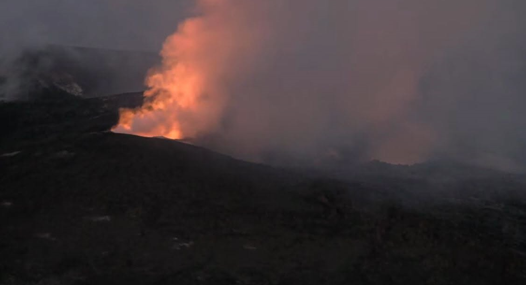
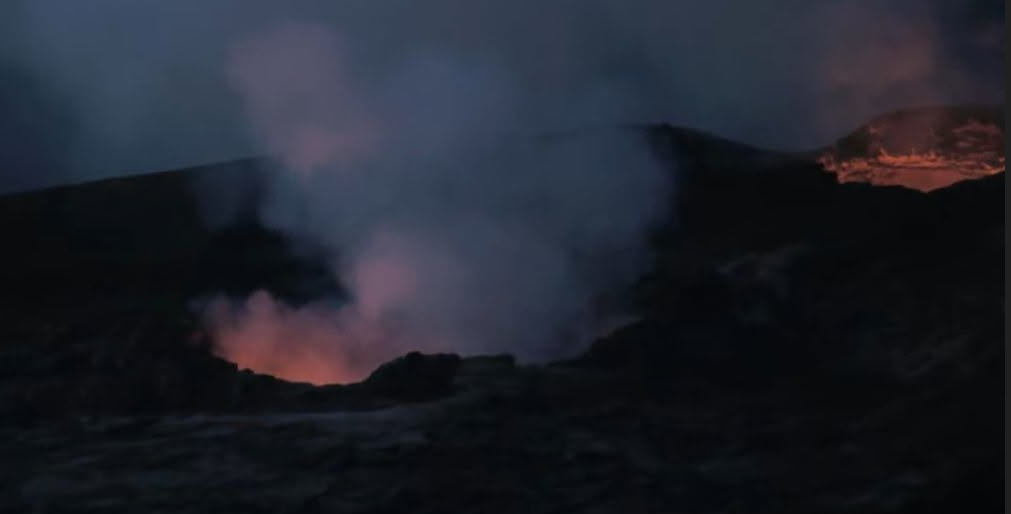
Strong glow was seen from the west vent overnight, with weaker but relatively steady glow from the north vent. The south vent remains dark after being buried during episode 55.
Seismic tremor continued yesterday and overnight, with relatively steady background amplitudes interrupted by occasional and periodic stronger pulses. These fluctuations are characteristic of the pauses between fountaining episodes, with pulses typically associated with increased glow and gas emissions. Three earthquakes less than M1.5 were recorded at Kīlauea summit in the last 24 hours.
Summit tiltmeters have recorded an overall positive trend since the end of episode 55, with several small, short-term oscillations. The general pattern remains consistent with post-fountaining recovery observed during previous inter-episode pauses, although rate of recovery has varied over time. The Uēkahuna tiltmeter (UWD) has recorded an increase of approximately 0.4 microradians in the past 24 hours for a total of 14.9 microradians of tilt recovered since the end of episode 55.
Sulfur dioxide (SO2) emission rates during inter-episode pauses typically range from 1,000 to 5,000 tonnes per day. Light southwesterly winds are expected to transport volcanic gases north toward Volcano and surrounding communities today.
Rift Zone Observations:
Rates of seismicity and ground deformation remain low in the East Rift Zone and Southwest Rift Zone. SO2 emissions from the East Rift Zone remain below the detection limit.
Source et photo : USGS.
Vanuatu , Yasur :
The Vanuatu Meteorology and Geohazards Department (VMGD) reported that activity at Yasur continued at a level of “major unrest,” as defined by the Alert Level 2 status (on a scale of 0-5) in October. Seismic data confirmed continuing volcanic activity with explosions that were occasionally strong to very strong and persistent volcanic tremor. Webcam and satellite images during September-October recorded frequent explosions, nighttime crater incandescence, and dense plumes of gas, steam, and/or ash. Sulfur dioxide gas emissions identified in satellite images were at variable levels. Low-to-moderate thermal anomalies persisted. According to the Wellington Volcanic Ash Advisory Center (VAAC) ash plumes generated by ongoing, low-level activity were visible in satellite and webcam images on 27 October rising 0.9-1.2 km (3,000-4,000 ft) a.s.l. and drifting W. The public was reminded to not enter the restricted area within 600 m around the boundaries of the Permanent Exclusion Zone, defined by Danger Zone A on the hazard map.
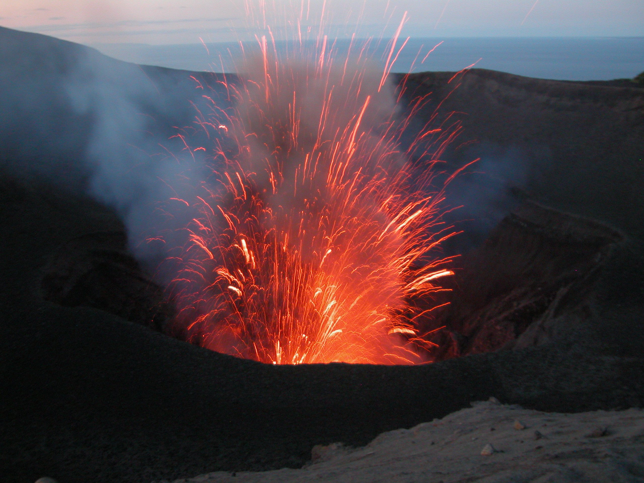
Yasur has exhibited essentially continuous Strombolian and Vulcanian activity at least since Captain Cook observed ash eruptions in 1774. This style of activity may have continued for the past 800 years. Located at the SE tip of Tanna Island in Vanuatu, this pyroclastic cone has a nearly circular, 400-m-wide summit crater. The active cone is largely contained within the small Yenkahe caldera, and is the youngest of a group of Holocene volcanic centers constructed over the down-dropped NE flank of the Pleistocene Tukosmeru volcano. The Yenkahe horst is located within the Siwi ring fracture, a 4-km-wide open feature associated with eruption of the andesitic Siwi pyroclastic sequence. Active tectonism along the Yenkahe horst accompanying eruptions has raised Port Resolution harbor more than 20 m during the past century.
Sources: Vanuatu Meteorology and Geohazards Department (VMGD), Wellington Volcanic Ash Advisory Center (VAAC), Copernicus Browser , GVP.
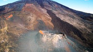
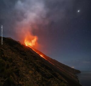
Photo : G Vitton.
Japan , Kikai :
The Japan Meteorological Agency (JMA) reported that an eruption at Iodake Crater (at Satsuma Iwo-jima, a subaerial part of Kikai’s NW caldera rim) was recorded at 02h07 on 17 October, the first since 29 December 2025. An ash-and-gas plume rose 400 m above the crater rim and drifted S. The report noted that volcanic earthquakes remained infrequent, and no notable changes were detected before or after the eruption. No volcanic tremors were recorded. The Alert Level remained at 2 (on a 5-level scale), and residents were warned to be cautious within 500 m away from Iodake Crater.

Multiple eruption centers have exhibited recent activity at Kikai, a mostly submerged, 19-km-wide caldera near the northern end of the Ryukyu Islands south of Kyushu. It was the source of one of the world’s largest Holocene eruptions about 6,300 years ago when rhyolitic pyroclastic flows traveled across the sea for a total distance of 100 km to southern Kyushu, and ashfall reached the northern Japanese island of Hokkaido. The eruption devastated southern and central Kyushu, which remained uninhabited for several centuries. Post-caldera eruptions formed Iodake (or Iwo-dake) lava dome and Inamuradake scoria cone, as well as submarine lava domes. Recorded eruptions have occurred at or near Satsuma-Iojima (also known as Tokara-Iojima), a small 3 x 6 km island forming part of the NW caldera rim. Showa-Iojima lava dome (also known as Iojima-Shinto), a small island 2 km E of Satsuma-Iojima, was formed during submarine eruptions in 1934 and 1935. Mild-to-moderate explosive eruptions have occurred during the past few decades from Iodake, a rhyolitic lava dome at the eastern end of Satsuma-Iojima.
Sources: Japan Meteorological Agency (JMA) , GVP.
Photo : Ray Go ( Satsuma-Iojima ).
Chile / Argentina , Nevados de Chillan :
Special Report on Volcanic Activity (REAV), Ñuble Region, Nevados de Chillán Volcanic Complex. Issued on October 28, 2026, at 15:00 local time (18:00 UTC).
The National Geology and Mining Service of Chile (Sernageomin) provides the following PRELIMINARY information, obtained via monitoring equipment from the National Volcanic Monitoring Network (RNVV) and subsequently processed and analyzed by the Southern Andes Volcanological Observatory (Ovdas):
Based on an analysis of monitoring systems and imagery from cameras installed in the vicinity of the Nevados de Chillán volcanic complex, the following is a summary of the key details regarding the emission of pyroclastic material, along with additional observations gathered up to the time of this report’s publication.
Summary of the observed event
Date of event: October 28, 2026
Local time: 14:38
UTC time: 17:38
Volcano: Nevados de Chillán
Column height: 2,200 m
Dispersion direction: Northwest.
Special Report on Volcanic Activity (REAV)
The National Geology and Mining Service (Sernageomin) provides the following information, derived from monitoring equipment belonging to the National Volcanic Monitoring Network (RNVV) and processed and analyzed by the Southern Andes Volcanological Observatory (Ovdas):
On October 28, 2026, at 18:49 (continental Chilean time), images from surveillance cameras installed in the vicinity of the Nevados de Chillán volcanic complex revealed activity linked to surface phenomena.
Technical Interpretation
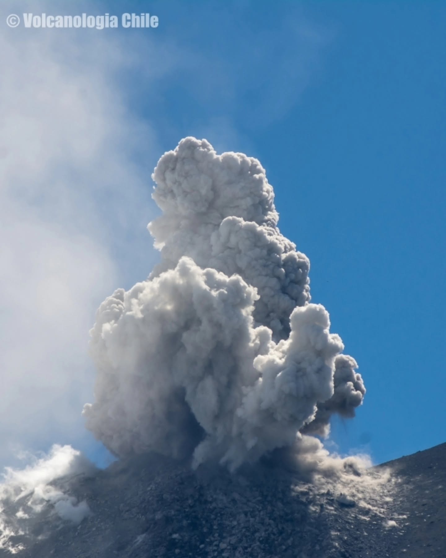
An explosion was recorded, associated with a « Long-Period » (LP) volcanic event—with a Reduced Displacement (DR) value of 348 cm²—which generated a column of gas and pyroclasts rising 2,020 m above the active crater.
Given the information provided in previous volcanic activity reports published by SERNAGEOMIN regarding this system, and in light of the observations above, the occurrence of further episodes of equivalent or greater energy cannot be ruled out. These could manifest as low-to-moderate magnitude explosions, potentially affecting the immediate environment of the active crater zone.
GENERAL OBSERVATIONS:
At the time of this report’s publication, explosive activity with similar characteristics is ongoing, though the columns of gas and pyroclasts are of a lower height.
The Volcanic Activity Level (EAV) remains at Level 3 – MINOR ERUPTION:
Source : Sernageomin
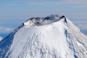
Photo : Volcanologia Chile.
Indonesia , Karangetang :
The Pusat Vulkanologi dan Mitigasi Bencana Geologi (PVMBG) reported that the eruption at Karangetang’s North Crater (Kawah Dua) continued during 22-28 October. White plumes rose as high as 1 km above the summit and drifted in various directions on most days. Incandescence at the North Crater and from lava flows and/or incandescent avalanches on the flanks were visible in webcam images throughout the week. At 12h41 on 26 October an ash plume rose around 700 m above the summit and drifted W. An ash plume rose around 800 m above the summit and drifted NW at 05h43 on 27 October and later that day, at 17h26, an ash plume rose around 1 km above the summit and drifted SW. According to the Darwin Volcanic Ash Advisory Centre (VAAC), ash plumes were identified in satellite images rising 1.8-2.7 km (6,000-9,000 ft) a.s.l. and drifted W and NW during 24-27 October. A news article from 26 October noted that lava flows or incandescent avalanches of material descended the flanks 200-700 m S, as far as 1 km SW and W, and 500-700 m NW. The Alert Level remained at 2 (on a scale of 1-4) and the public was advised to stay 1.5 km away from both craters, with an extension to 2.5 km on the NW and SW flanks of North Crater.
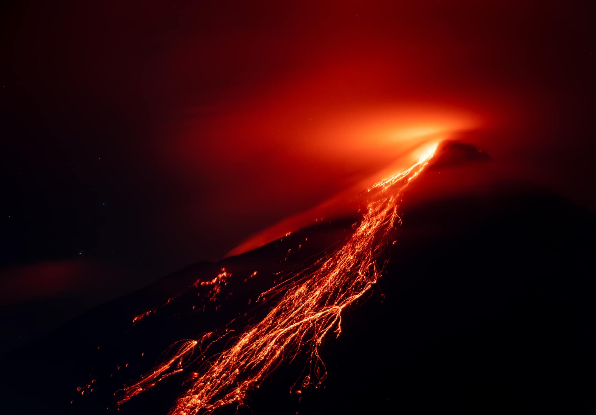
An eruption of Mount Karangetang, in North Sulawesi, occurred on Thursday, October 29, 2026, at 7:27 PM (Central Indonesian Time, WITA). The eruption was not observed visually. It was recorded on a seismogram, with a maximum amplitude of 50.0 mm and an initial duration of approximately 80.0 seconds. At the time this report was written, the eruption was still ongoing.
Seismic data:
6 shallow volcanic earthquakes, with an amplitude of 2.0 to 30.0 mm and a duration of 5.0 to 14.0 seconds.
5 distant tectonic earthquakes, with an amplitude of 5.0 to 50.0 mm and a duration of 51.0 to 652.0 seconds.
1 felt earthquake (MMI scale: degree I), with an amplitude of 50.0 mm and a duration of 253.0 seconds.
21 rockfall-related earthquakes, with an amplitude of 3.0 to 20.0 mm and a duration of 16.0 to 97.0 seconds.
1 eruption earthquake, with an amplitude of 50.0 mm and a duration of 80.0 seconds.
15 episodes of non-harmonic tremor, with an amplitude of 10.0 to 50.0 mm and a duration of 33.0 to 144.0 seconds.
33 episodes of harmonic tremor, with an amplitude of 5.0 to 50.0 mm and a duration of 28.0 to 328.0 seconds. 103 emission-related seismic events, with an amplitude of 5.0 to 50.0 mm and a duration of 15.0 to 81.0 seconds.
1 hybrid (or multiphase) seismic event, with an amplitude of 10.0 mm and a duration of 16.0 seconds.
Sources: Pusat Vulkanologi dan Mitigasi Bencana Geologi (PVMBG, also known as CVGHM), Antara News , GVP
Photo : Baptiste Apps. ( archive).