May 30 , 2026.
Alaska , Shishaldin :
Seismic and infrasound activity remain elevated, with numerous small earthquakes, frequent infrasound signals, and volcanic tremor recorded this week. Cloud cover obscured most satellite and webcam images, though occasional clear views showed minor steaming at the summit. Satellite data indicated elevated sulfur dioxide emissions on most days.
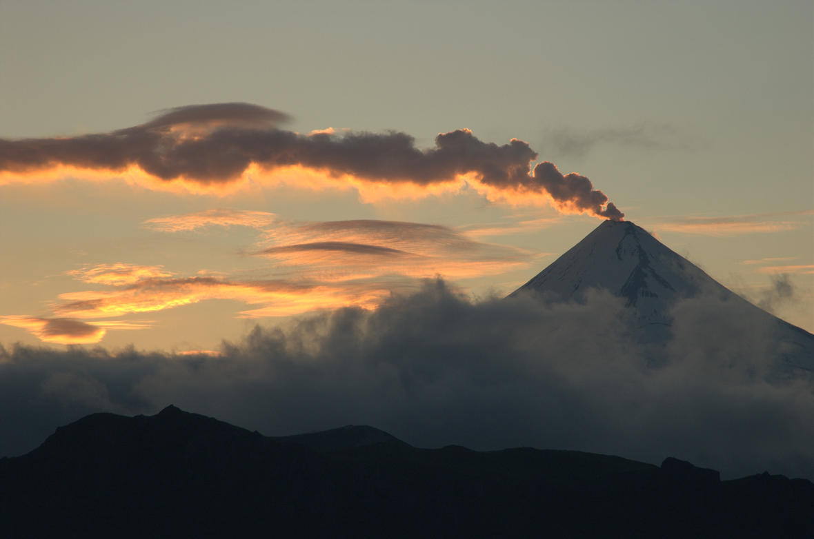
Shishaldin Volcano is monitored by local seismic and infrasound sensors, web cameras, and a telemetered geodetic network. In addition to the local monitoring network, the Alaska Volcano Observatory uses nearby geophysical networks, regional infrasound and lightning data, and satellite data to monitor the volcano.
Source : AVO.
Photo : Cyrus_Read.
Italy , Stromboli :
Stromboli Activity Update, May 30, 2026, 00:37 (22:37 UTC).
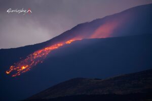
The National Institute of Geophysics and Volcanology, Etna Observatory, announces that analysis of images from the surveillance camera network reveals that, starting at approximately 21:40 UTC, effusive activity due to a lava overflow from the North Crater area began. This activity is producing a lava flow that is developing in the middle to upper part of the Sciara del Fuoco.
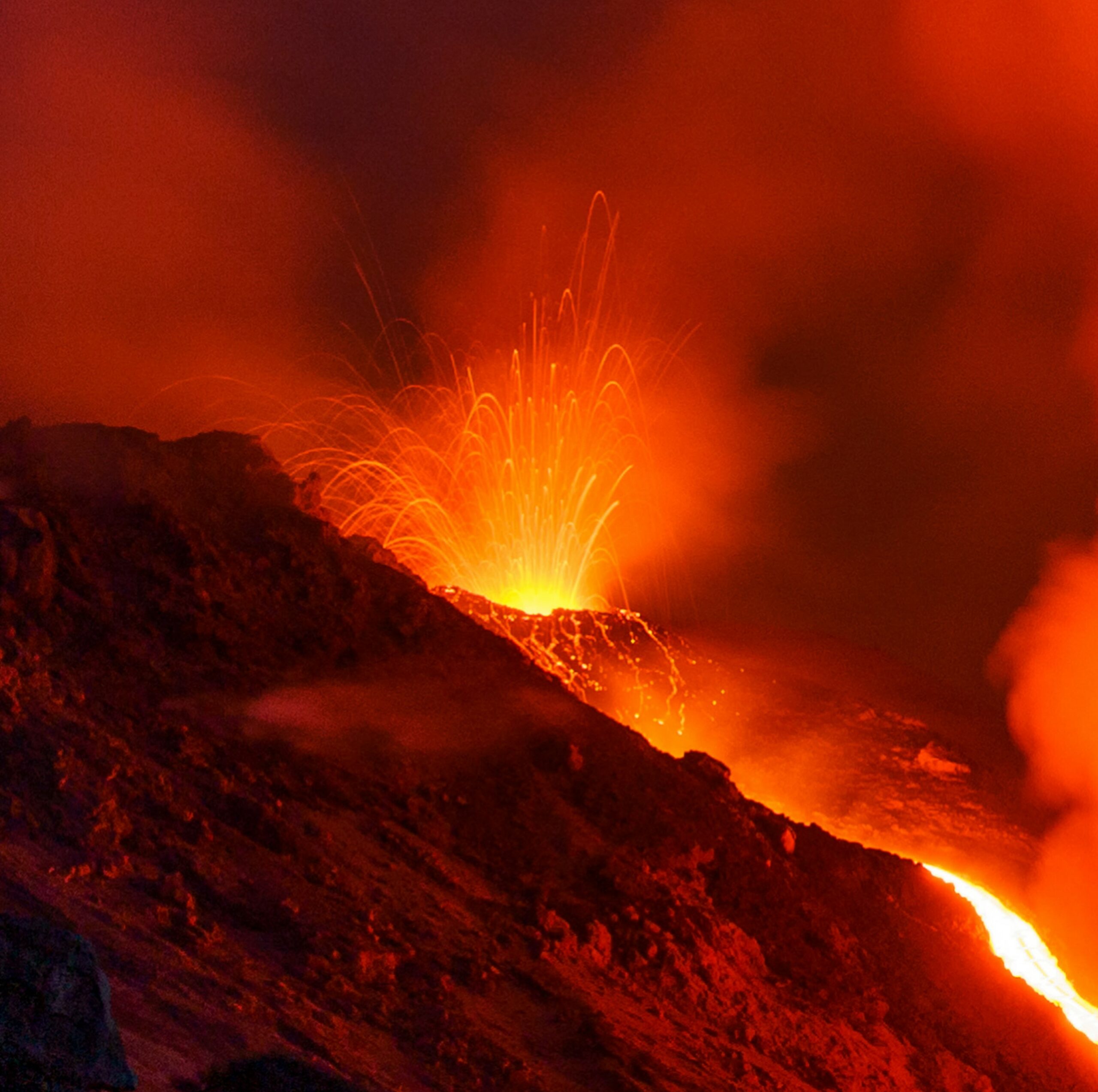
Ordinary Strombolian activity continues in the North and Central-South crater areas, along with lava eruptions from the North crater area, with varying intensity.
From a seismic perspective, the average amplitude of volcanic tremors is currently within the normal range. No significant changes have been observed in the frequency and amplitude of explosion earthquakes.
Analysis of high-frequency GNSS network data shows no significant ground deformation. Further updates will be provided shortly.
Source : INGV.
Photo : Stromboli stati d’animo / Sebastiano Cannavo .
Indonesia , Marapi :
An eruption of Mount Marapi occurred on Saturday, May 30, 2026, at 08:42 WIB, with an observed ash column height of approximately 2,000 m above the summit (approximately 4,891 m above sea level). This ash column was gray and dense, oriented towards the northeast. At the time of writing, the eruption was still ongoing.
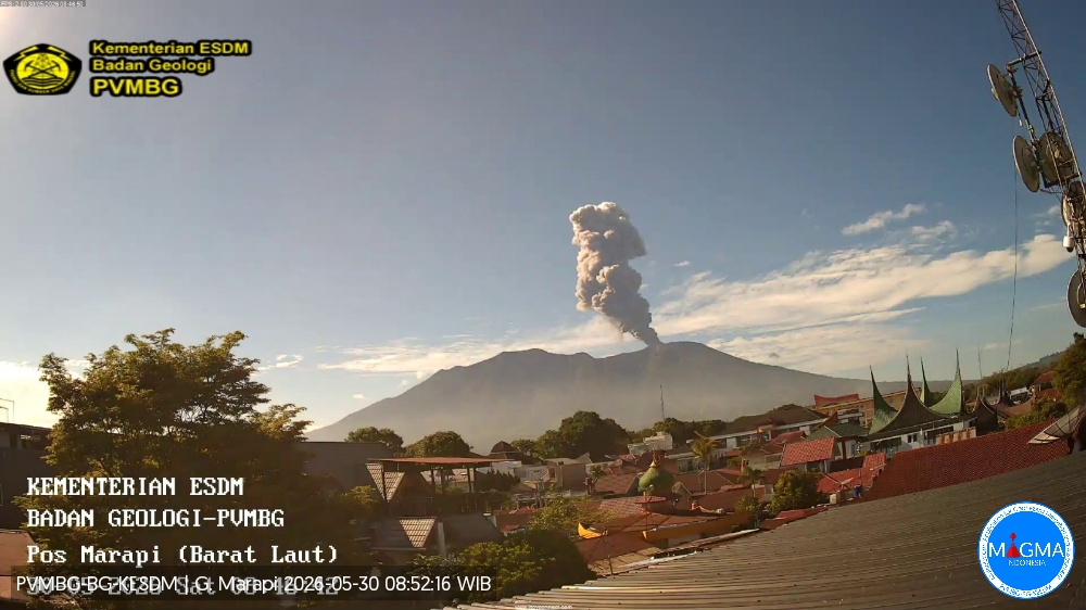
VOLCANO OBSERVATORY NOTICE FOR AVIATION – VONA
Issued : May 30 , 2026
Volcano : Marapi (261140)
Current Aviation Colour Code : ORANGE
Previous Aviation Colour Code : yellow
Source : Marapi Volcano Observatory
Notice Number : 2026MAR057
Volcano Location : S 0 deg 22 min 52 sec E 100 deg 28 min 23 sec
Area : West Sumatra, Indonesia
Summit Elevation : 9251 FT (2891 M)
Volcanic Activity Summary :
Eruption with volcanic ash cloud at 01h42 UTC (08h42 local).
Volcanic Cloud Height :
Best estimate of ash-cloud top is around 15651 FT (4891 M) above sea level or 6400 FT (2000 M) above summit. May be higher than what can be observed clearly. Source of height data: ground observer.
Other Volcanic Cloud Information :
Ash cloud moving to northeast. Volcanic ash is observed to be gray. The intensity of volcanic ash is observed to be thick.
Remarks :
Eruption and ash emission is continuing. Eruption recorded on seismogram with maximum amplitude 30 mm. Tremor recorded on seismogram with maximum amplitude 4.5 mm.
Source et photo : PVMBG.
Colombia , Galeras :
San Juan de Pasto, May 26, 2026, 6:10 PM
Regarding the monitoring of activity at the Galeras volcano, the Colombian Geological Survey (SGC), an agency under the Ministry of Mines and Energy, reports the following:
During the week of May 19-25, 2026, the main variations in monitored parameters, compared to the previous week, were as follows:
● Low seismic activity continued, with an increase in the seismic energy released. Seismicity associated with rock fracturing processes within the volcanic edifice remains predominant.
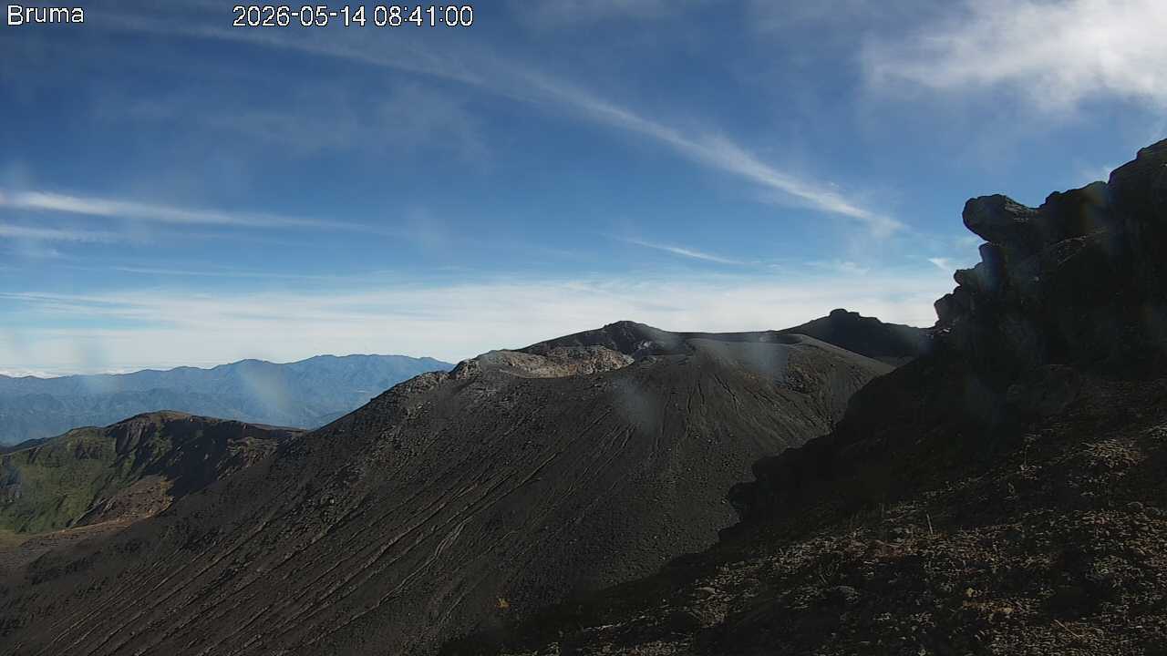
● The earthquakes occurred mainly to the southeast of the volcanic edifice, with some scattered tremors to the north and northeast, at distances of up to 11 km from the crater and at depths of less than 12 km from the summit of Galeras volcano (4,200 m altitude). The strongest earthquake occurred on May 24 at 4:58 a.m., with a local magnitude of 2. Its epicenter was located 6.2 km south of Galeras, at a depth of 8.4 km. It was not felt by nearby populations.
● Due to unfavorable weather conditions in the region, no images of the fumarole fields could be obtained by the webcam monitoring system.
● The other volcanic monitoring parameters remained stable. Given these factors, the Geological Survey of Colombia (SGC) recommends closely monitoring the situation by consulting the weekly bulletins and other information disseminated through its official channels, as well as the instructions of local and departmental authorities and the National Unit for Disaster Risk Management (UNGRD).
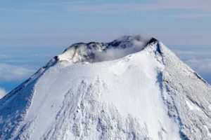
Volcanic activity remains at the yellow alert level: active volcano exhibiting changes in the reference behavior of monitored parameters and other manifestations.
Source et photo : SGC.
Hawaii , Kilauea :
HAWAIIAN VOLCANO OBSERVATORY DAILY UPDATE , U.S. Geological Survey
Friday, May 29, 2026, 8:49 AM HST (Friday, May 29, 2026, 18:49 UTC)
19°25’16 » N 155°17’13 » W,
Summit Elevation 4091 ft (1247 m)
Current Volcano Alert Level: ADVISORY
Current Aviation Color Code: YELLOW
Summary:
The Halemaʻumaʻu eruption of Kīlauea remains paused. Spatter was visible within the north vent overnight. Summit inflation has slowed but continues. The forecast window for the onset of episode 48 fountains is between today and Sunday (May 29-31).
Overview:
The Halemaʻumaʻu eruption of Kīlauea remains paused. Glow was strong from both vents overnight with spatter common within the north vent and a single spatter burst inside the south vent overnight. Summit inflation has slowed but continues. The forecast for episode 48 fountaining is between today and Sunday (May 29-31) but may change if irregular deflation events resume.
No significant activity has been noted along Kīlauea’s East Rift Zone or Southwest Rift Zone.
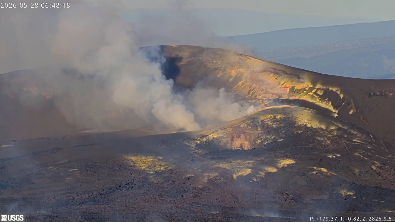
Summit Observations:
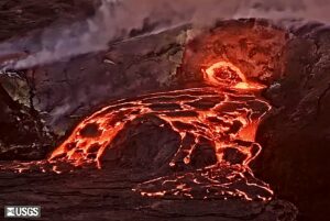
Bright glow was visible from both Halemaʻumaʻu eruptive vents overnight. Common low-level spatter was visible throughout the night from within the north vent and a single spatter burst from within the south vent was observed at 3:47 am. No precursory overflows from either vent have occurred yet.
Low-level seismic tremor continues during the current pause and did not change significantly over the past day during the deflation event. Earthquake activity beneath Kīlauea summit remains low at this time.
Kilauea summit inflation continues this morning, but at a lower rate than previous days. Since the end of lava fountaining episode 47 on May 15, the Uēkahuna tiltmeter (UWD) has tracked about 15.8 microradians of inflationary tilt (a small tilt offset was due to the M6.0 earthquake on the west side of the island on Friday evening). This instrument recorded 15.6 microradians of deflationary tilt during episode 47.
With the eruption now paused, the sulfur dioxide (SO2) emission rate from the summit is likely now varying within a typical range of 1,000 to 5,000 tonnes per day. Measurements on Friday, May 22, indicated emission rates of about 2,000 tonnes per day. Surface winds are out of the northeast at the summit this morning.
Rift Zone Observations:
Rates of seismicity and ground deformation remain low in the East Rift Zone
Source et photo : HVO.