August 7 , 2026.
Italy , Stromboli :
Stromboli activity update, August 6, 2026, 07:43 (05:43 UTC)
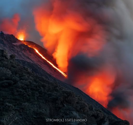
The National Institute of Geophysics and Volcanology (INGV) – Etna Observatory – reports that analysis of images from the surveillance camera network reveals that, starting around 05:00 UTC, lava began to overflow from the North crater area; this activity is generating a modest lava flow confined to the upper part of the Sciara del Fuoco.
Ordinary Strombolian activity continues in the North and Central-South crater areas, accompanied by lava spattering of varying intensity at the North crater.
Seismically, the average amplitude of volcanic tremor remains within a moderate range. No significant changes have been observed regarding the frequency or amplitude of explosion-related earthquakes.
No notable variations have been detected in the time series from ground deformation monitoring stations.
Stromboli activity update, August 6, 2026, 17:38 (15:38 UTC)
The National Institute of Geophysics and Volcanology (INGV) – Osservatorio Etneo – reports that analysis of images from the surveillance camera network indicates the cessation of effusive activity resulting from lava overflow in the North Crater area (see the Stromboli update from June 8, 2026, at 05:40 UTC). Ordinary Strombolian activity continues in the North and Central-South crater areas, accompanied by lava spattering—of varying intensity—in the North Crater area.
Seismically, since the last update, the average amplitude of volcanic tremor has remained within a moderate range, and no significant changes have been observed regarding the frequency or amplitude of explosion-related earthquakes.
No significant variations have been detected in the time series from ground deformation monitoring stations.
Further information will be provided as soon as possible.
Source : INGV.
Photo : Stromboli stati d’animo / Sebastiano Cannavo
Italy / Sicily , Etna :
Update on Etna’s activity, August 6, 2026, 20:36 (18:36 UTC)
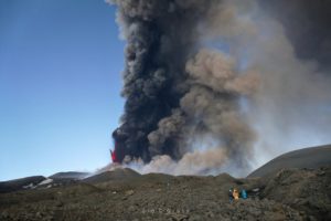
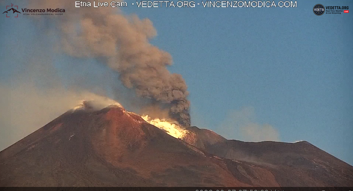
The National Institute of Geophysics and Volcanology (INGV) – Etna Observatory – reports that, following the statement issued earlier today at 01:51 UTC, Strombolian-style activity continues at the Voragine crater. Images from the surveillance camera network indicate fluctuations in the frequency of explosions. This activity has produced coarse volcanic material—falling primarily within the crater rim—as well as minor ash emissions that are rapidly dispersing into the atmosphere towards the south-southwest.
In addition to the aforementioned explosions, summit activity is feeding a modest lava flow moving from the Voragine crater toward the Northeast Crater.
Since the last update, no significant changes have been observed in the average amplitude of volcanic tremor, which remains within normal limits.
The source centroid has been located in the area of the Northeast Crater and in a sector to its northwest and southwest, at depths ranging from 1,600 to 3,000 meters above sea level. Infrasonic activity has been localized at the Voragine crater; since this afternoon, it has remained at a moderate to high level, featuring events of moderate and, occasionally, high amplitude.
No significant variations have been detected over the past 12 hours in the time series recorded by ground deformation monitoring stations.
Statement on Mount Etna activity, August 6, 2026, 23:11 (21:11 UTC)
The National Institute of Geophysics and Volcanology (INGV) – Etna Observatory – reports that, following the statement issued today at 18:36 UTC, Strombolian activity at the Voragine crater has progressively intensified—becoming increasingly sustained and frequent from approximately 19:30 UTC—evolving into lava fountaining activity that is currently ongoing. The eruption plume generated by this activity is drifting towards the southeast.
Seismically, a sudden increase in the average amplitude of volcanic tremor has been observed since approximately 19:00 UTC; the amplitude has reached a high range and shows an upward trend. Since approximately 19:15 UTC, the source centroid has been located in the Voragine crater area, at an elevation between 2,900 and 3,000 m above sea level. Infrasonic activity is high; events are localized at the Voragine crater and exhibit amplitudes ranging from moderate to, at times, high.
The GNSS monitoring network shows no significant variation. Since 20:28 UTC today, a variation (of approximately 0.2 microradians) has been recorded in the signals from the Cratere del Piano (ECP) inclinometer.
Further updates will be provided as soon as possible.
Source : INGV.
Photo : Vedetta / Vincenzo Modica .
Indonesia , Anak Krakatau :
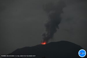
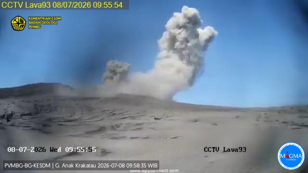
The Pusat Vulkanologi dan Mitigasi Bencana Geologi (PVMBG) reported ongoing eruptive activity at Krakatau during 30 July-5 August. White plumes were visible on most days rising 100 m above the summit; weather conditions prevented views during 31 July-1 August. According to the Darwin Volcanic Ash Advisory Centre (VAAC) a dense steam plume with possible ash was visible in satellite images rising 1.5 km (5,000 ft) a.s.l. and drifting SW. The Alert Level remained at 2 (on a scale of 1-4) and the public was warned to stay 2 km away from the summit.
Seismic observations
5 hybrid/polyphase earthquakes with amplitudes ranging from 14.7 to 28.3 mm; durations varied from 9 to 13 seconds.
1 episode of continuous tremor with an amplitude of 1 to 15 mm (dominant amplitude: 3 mm).
Recommendations
The public, visitors, tourists, and hikers are advised not to approach Mount Anak Krakatau or engage in activities within a 3 km radius of the active crater.
Sources: Pusat Vulkanologi dan Mitigasi Bencana Geologi (PVMBG, also known as CVGHM), Darwin Volcanic Ash Advisory Centre (VAAC) , GVP.
Photo : PVMBG.
Japan , Sakurajima :
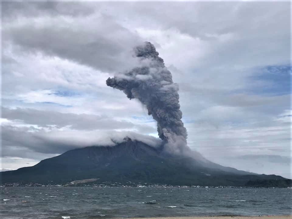
The Japan Meteorological Agency (JMA) reported ongoing eruptive activity at Minamidake Crater (Aira Caldera’s Sakurajima volcano) during 27 July-3 August. The monitoring networks recorded a total of 36 eruptive events and three explosions. Multiple eruptive events per day during 27-29 July and 31 July-2 August generated ash plumes that rose 1-3 km above the summit and sometimes drifted E, SE, and S. Emissions were sometimes continuous, notably during 03h51-04h30 on 28 July and from 23h34 on 2 August to 00h30 on 3 August. Large blocks were occasionally ejected as far as 1.1 km from the vent. An explosion at 20h59 on 29 July generated an ash plume that rose 1.6 km above the summit and drifted S. At 00h02 on 2 August an explosion produced an ash plume that rose 2.2 km above the summit and ejected large blocks 500-700 m from the vent. An ash plume from an explosion at 23h34 on 2 August rose 3 km above the summit and drifted S. Crater incandescence was visible in nighttime webcam images during 31 July-3 August. The Alert Level remained at 3 (on a 5-level scale), and the public was warned to be cautious within 2 km of both the Minimadake and Showa craters.
The Aira caldera in the northern half of Kagoshima Bay contains the post-caldera Sakurajima volcano, one of Japan’s most active. Eruption of the voluminous Ito pyroclastic flow accompanied formation of the 17 x 23 km caldera about 22,000 years ago. The smaller Wakamiko caldera was formed during the early Holocene in the NE corner of the caldera, along with several post-caldera cones. The construction of Sakurajima began about 13,000 years ago on the southern rim and built an island that was joined to the Osumi Peninsula during the major explosive and effusive eruption of 1914. Activity at the Kitadake summit cone ended about 4,850 years ago, after which eruptions took place at Minamidake. Frequent eruptions since the 8th century have deposited ash on the city of Kagoshima, located across Kagoshima Bay only 8 km from the summit. The largest recorded eruption took place during 1471-76.
Sources : Agence météorologique du Japon (JMA), GVP.
Photo : Koki Arima ( Archive).
Philippines , Mayon :
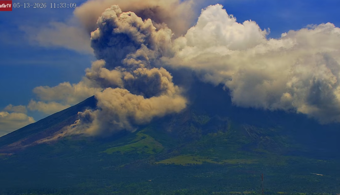
The Philippine Institute of Volcanology and Seismology (PHIVOLCS) reported that the eruption at Mayon continued at low levels during 29 July-5 August. Each day the seismic network recorded 2-18 rockfalls and 11-29 volcanic earthquakes. Emissions were visible almost daily, rising as high as 900 m above the summit and drifting in multiple directions. Sulfur dioxide emissions averaged 1,220-2,777 tonnes per day. At 1519 on 2 August an ash plume visible in webcam images rose 200 m above the summit and drifted E.
The lava flows had not advanced in the Mi-isi (S), Bonga (SE), and Basud (E) drainages since 22 July, remaining 2,7, 3.2, and 3.8 km long, respectively. The last Strombolian event occurred on 26 July and the last pyroclastic density current was recorded on 28 July. The Alert Level was lowered to 2 (on a 0-5 scale) at 1500 on 5 August and residents were reminded to stay away from the 6-km-radius Permanent Danger Zone (PDZ). PHIVOLCS recommended that civil aviation authorities advise pilots to avoid flying close to the summit.
Source: Philippine Institute of Volcanology and Seismology (PHIVOLCS) , GVP.
Photo : Afar tv ( archive).