August 22 , 2026.
Italy / Sicily , Etna :
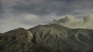
Update on Mount Etna activity, August 21, 2026, 20:15 (18:15 UTC).
The National Institute of Geophysics and Volcanology (INGV), Etna Observatory, reports an increase in ash emissions from the summit craters; according to forecast models, the ash is dispersing towards the southeast. Furthermore, the lava flows mentioned in yesterday’s update are no longer being fed.
Seismically, the average amplitude of volcanic tremor has shown slight fluctuations within a medium-to-high range; currently, the tremor level is in the medium range. The centroids of the tremor sources are located near the Northeast Crater, at an elevation between 1,500 and 2,000 meters above sea level.
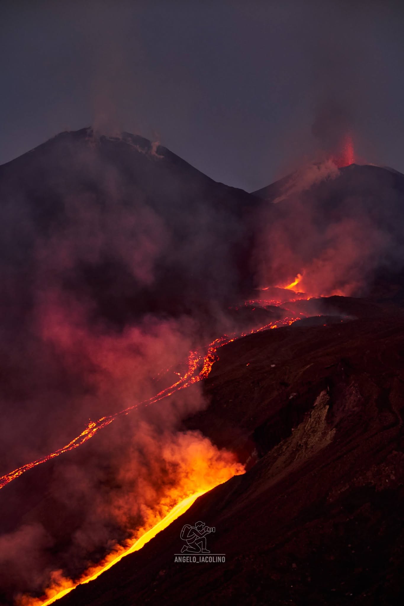
Infrasonic activity remains at moderate to high levels; infrasonic events are localized in the Northeast Crater area, with predominantly high amplitudes.
The GNSS network shows no significant variation. The previously reported variation at the Piano Crater is currently slowing down. A slight variation continues to be recorded by the Punta Lucia inclinometer, consistent with summit deflation.
Further updates will be provided shortly.
Source : INGV.
Photo : Angelo Iacolino
Japan , Asosan :
The Japan Meteorological Agency (JMA) reported that the amplitude of volcanic tremors at Asosan began to increase at around 1900 on 12 August, fluctuated for a few days, and further intensified at 1500 on 14 August. During a field survey that same day scientists measured a high sulfur dioxide emission rate of 2,700 tons per day (t/d), notably increased from 700 t/d on 28 July and 1,200 t/d on 6 August. The Alert Level was raised to 3 (on a scale of 1-5) at 1545 and the public was warned that eruptive products may impact areas within 2 km of the crater. Continuous Global Navigation Satellite System (GNSS) data suggested that magma was accumulating beneath Kusasenri. Webcams show no significant changes in conditions within the crater; white plumes rose as high as 900 m above the Nakadake Crater I rim during 12-17 August
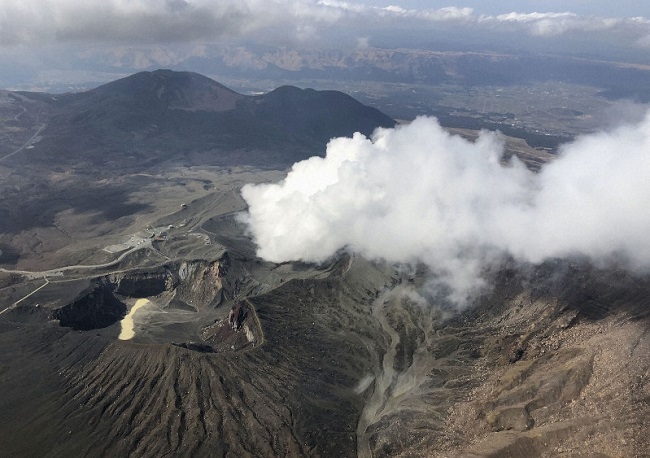
The 24-km-wide Asosan caldera was formed during four major explosive eruptions from 300,000 to 90,000 years ago. These produced voluminous pyroclastic flows that covered much of Kyushu. The last of these, the Aso-4 eruption, produced more than 600 km3 of airfall tephra and pyroclastic-flow deposits. A group of 17 central cones was constructed in the middle of the caldera, one of which, Nakadake, is one of Japan’s most active volcanoes. It was the location of Japan’s first documented historical eruption in 553 CE. The Nakadake complex has remained active throughout the Holocene. Several other cones have been active during the Holocene, including the Kometsuka scoria cone as recently as about 210 CE. Historical eruptions have largely consisted of basaltic to basaltic andesite ash emission with periodic strombolian and phreatomagmatic activity. The summit crater of Nakadake is accessible by toll road and cable car, and is one of Kyushu’s most popular tourist destinations.
Sources: Japan Meteorological Agency (JMA) , GVP.
Photo : Kyodonews.
Indonesia , Anak Krakatau :
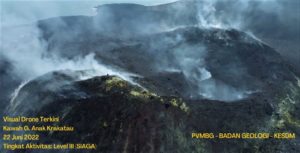
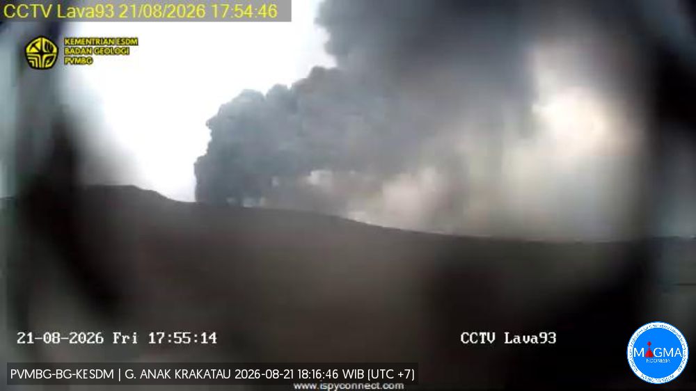
The Pusat Vulkanologi dan Mitigasi Bencana Geologi (PVMBG) reported ongoing eruptive activity at Krakatau during 13-20 August. White-and-gray plumes rose as high as 150 m above the summit on 13 August and drifted in various directions. No emissions were observed the next day. During 16-18 August white, gray, and black plumes rose as high as 400 m above the summit and drifted mainly NW, N, NE, and E. Multiple eruptive events per day were recorded during 16-17 August, and several webcam images showed incandescent material being ejected above the crater. According to a news report, residents of Tejang Village (20 km NNE) on Sebesi Island reported ashfall during 16-18 August and adverse health effects due to ash in the air. The Alert Level remained at 3 (on a scale of 1-4) and the public was advised to stay 3 km away from summit.
Seismic observations
12 emission earthquakes with amplitudes of 16–47 mm and durations of 28–63 seconds.
7 harmonic tremors with amplitudes of 15–23 mm and durations of 24–85 seconds.
2 low-frequency earthquakes with amplitudes of 16–21 mm and durations of 11–20 seconds.
5 hybrid/multiphase earthquakes with amplitudes of 17–30 mm and durations of 12–22 seconds.
1 episode of continuous tremor with amplitudes of 5–25 mm (dominant amplitude of 12 mm).
Recommendations
The public, visitors, tourists, and hikers are advised not to approach Mount Anak Krakatau or engage in activities within a 3 km radius of the active crater.
Sources: Pusat Vulkanologi dan Mitigasi Bencana Geologi (PVMBG, also known as CVGHM), Antara News , GVP.
Philippines , Kanlaon :
The Philippine Institute of Volcanology and Seismology (PHIVOLCS) reported continuing eruptive activity at Kanlaon during 12-18 August. The seismic network recorded 0-7 daily volcanic earthquakes; the counts included 1-3 daily periods of tremor during 14-15 and 17 August, lasting two minutes to one hour and 34 minutes. Sulfur dioxide emissions ranged from 887 to 3,304 tonnes per day. Volcanic emissions rose as high as 200 m above the summit and drifted NNE, ENE, and E. A grayish ash emission lasting 92 minutes on 13 August rose 200 m above the summit and drifted ENE.
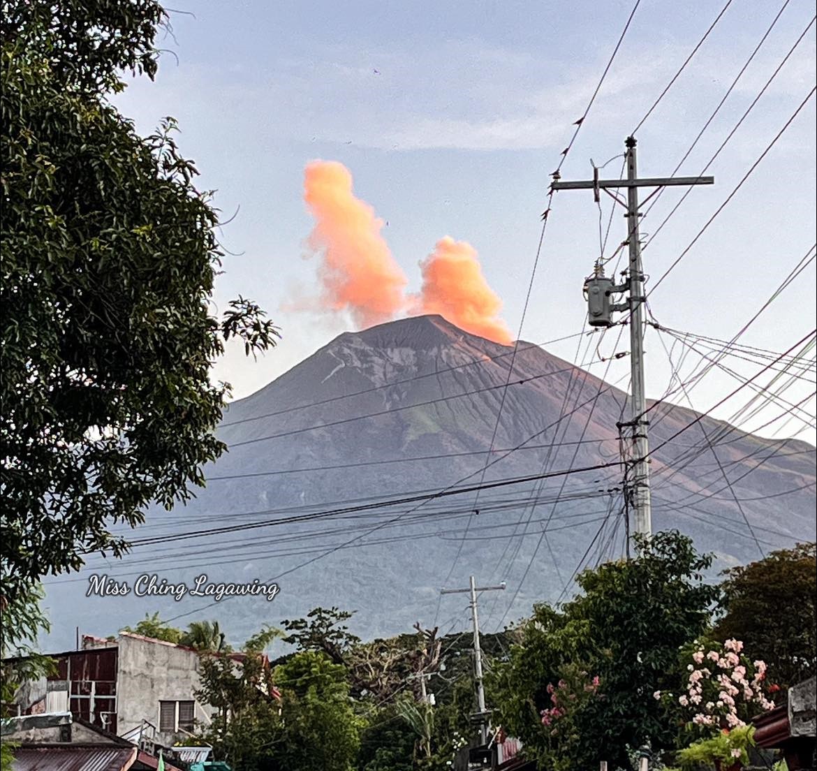
On 14 August there were five ash emissions and on 15 August there were three ash emissions, each lasting five minutes to just over an hour. One of the 14 August ash emissions, at 0549, was grayish and rose 200 m above the summit and drifted N. On 17 August one ash emission was recorded for 94 minutes. The Alert Level remained at 2 (on a scale of 0-5); the public was warned to stay out of the 4-km-radius Permanent Danger Zone (PDZ) and pilots were advised to avoid flying close to the summit.
Sources: Philippine Institute of Volcanology and Seismology (PHIVOLCS) GVP.
Photo : Miss Ching Lagawing.
Guatemala , Fuego :
Weather conditions: Clear
Wind: East/Southeast
Precipitation: 0.0 mm
Monday, August 17, 2026, 06:28
Activity
The Fuego Volcano Observatory (OVFGO) reports between 6 and 9 explosions per hour—ranging from low to moderate or even high intensity—accompanied by gas and ash plumes reaching altitudes of 4,200 to 4,700 meters above sea level. Ash is dispersing primarily toward the west and northwest, while high-altitude winds are carrying fine particles up to approximately 30 km away. These explosions are generating rumbling sounds and shockwaves, as well as block avalanches on the southern, western, and southwestern flanks, and ashfall in Sangre de Cristo, San Pedro Yepocapa, Pochuta, and other localities.
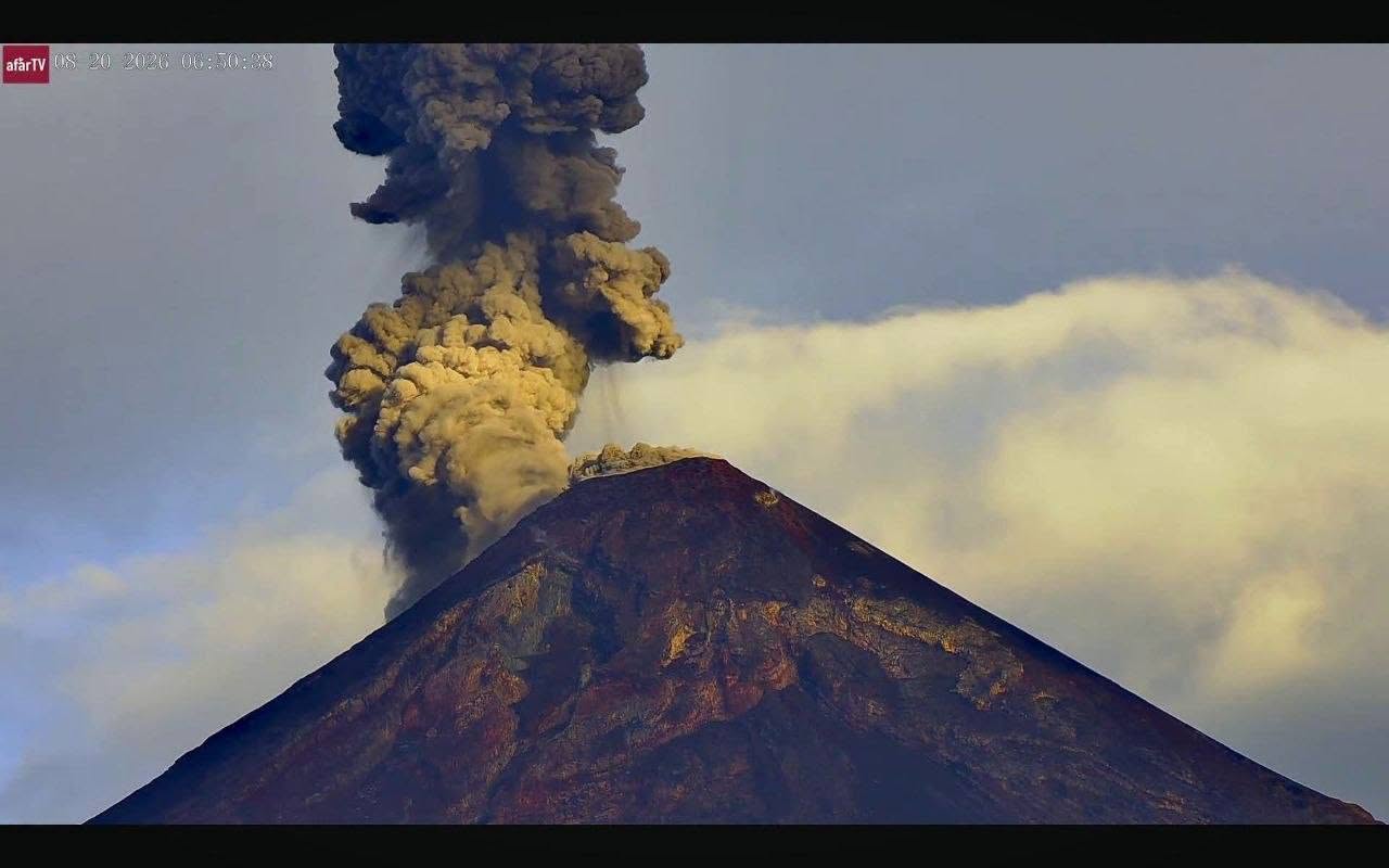
Incandescence at the crater was observed during the night and early morning. The accumulation of deposits from recent pyroclastic density currents (PDCs) maintains the risk of lahar formation in the Seca, Ceniza, and Lajas ravines, among others. Extreme caution is advised when crossing these channels, particularly during afternoon and evening rains. Furthermore, it is recommended to avoid parking on the plateau or in areas near the crater.
Source : Insivumeh
Photo : Afar tv