September 10 , 2026.
Indonesia , Anak Krakatau :
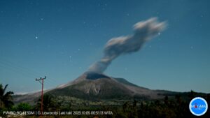
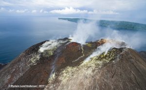
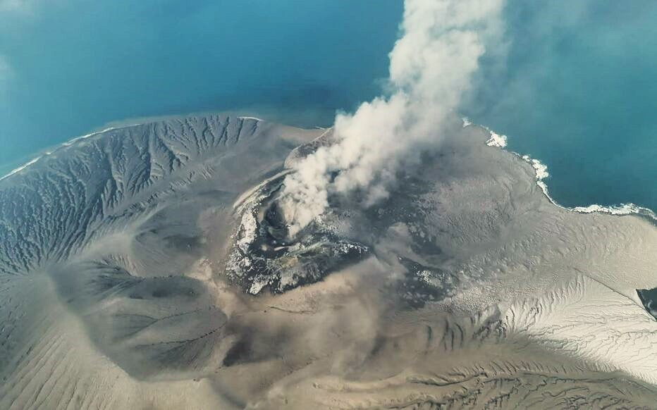
An eruption of Mount Anak Krakatau occurred on Thursday, September 10, 2026, at 09:10 WIB. The height of the eruption column was not observed. The eruption was recorded by the seismograph with a maximum amplitude of 47 mm and a duration of 17 seconds.
Seismic observations
1 eruptive earthquake with an amplitude of 47 mm and a duration of 17 seconds.
3 low-frequency earthquakes with amplitudes of 14–35 mm and durations of 4–9 seconds.
1 hybrid/multiphase earthquake with an amplitude of 13 mm and a duration of 10 seconds.
5 shallow volcanic earthquakes with amplitudes of 9–18 mm and durations of 4–13 seconds.
1 continuous tremor-type earthquake with an amplitude of 1–6 mm (dominant amplitude of 2 mm).
Recommendations
The public, visitors, tourists, and hikers are advised not to approach Mount Anak Krakatau or engage in activities within a 3 km radius of the active crater.
Source : PVMBG.
Photo : Xinhua/Iconsport.
Hawaii , Kilauea :
HAWAIIAN VOLCANO OBSERVATORY DAILY UPDATE , U.S. Geological Survey
Wednesday, September 9, 2026, 7:49 AM HST (Wednesday, September 9, 2026, 17:49 UTC)
19°25’16 » N 155°17’13 » W,
Summit Elevation 4091 ft (1247 m)
Current Volcano Alert Level: WATCH
Current Aviation Color Code: ORANGE
Summary:
Kīlauea volcano is erupting. Precursory overflows, which began on September 7, continued for the past 24 hours. A forecast window of September 9-10 is likely for the start of episode 55 fountaining.
Overview:
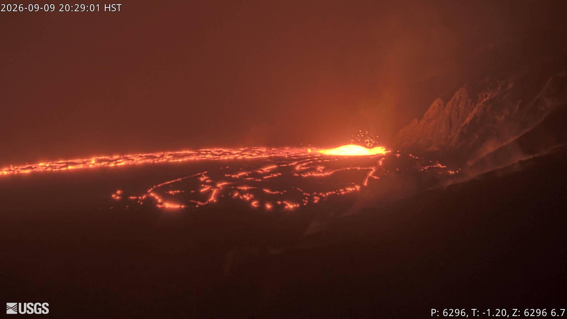
The summit eruption of Kīlauea in Halemaʻumaʻu has restarted. Episode 55 precursory overflows started from the north vent at 12:45 p.m. HST on September 7, which prompted the alert level to be raised to ORANGE and WATCH. A total of 29 overflows have occurred since then, with the most recent starting at 7:27 a.m. HST this morning. Overnight, moderate glow was often visible from the vents between overflows. Summit reinflation has been very irregular since lava fountaining episode 54 on August 25 and over the past 24 hours has shown little change. Currently, summit tilt is about 0.5 microradians below the episode 54 starting level. A forecast window of September 9-10 is likely for the onset of episode 55 fountaining.
No significant activity has been noted along Kīlauea’s East Rift Zone or Southwest Rift Zone.
Summit Observations:
Webcam views over the past several days have been mostly obscured by heavy rain, clouds, and steam from Hurricane Lowell passing west of the Hawaiian Islands but the summit is clearing this morning. Weak spattering from the north vent was first reported at 6:54 p.m. HST on September 6, with the first sluggish precursory overflow from the north vent starting at around 12:45 p.m. HST on September 7. Overflows from the north vent have continued intermittently since then, with a total of 29 so far, lasting from 15 minutes to about 2 hours long and separated by interludes of about 15 minutes to 8 hours. The most recent north vent overflow started at 7:27 a.m. HST this morning. Overflows have become progressively more vigorous and been fed by a dome fountain that reached 15-30 ft (5-10 m) tall. Two main lava flows have formed during these overflows with one making it about a half mile (1 kilometer) to the southwest of the north vent, and the other making it less than half a mile (1 kilometer) to the northeast of the north vent. Between overflows, glow was observed from the north vent in webcam imagery when it was not obscured by rain and steam. No overflows occurred from the south or west vents, but occasional glow and flames were noted from these vents overnight in webcam imagery
Tremor continues across the summit with regular intervals (about 5 minutes) of gas piston activity. In the absence of views from webcams into the vents during overflow activity, changes in tremor signal were used to time the duration of many of the overflows from the north vent. Two small earthquakes were recorded beneath the summit region over the past 24 hours.
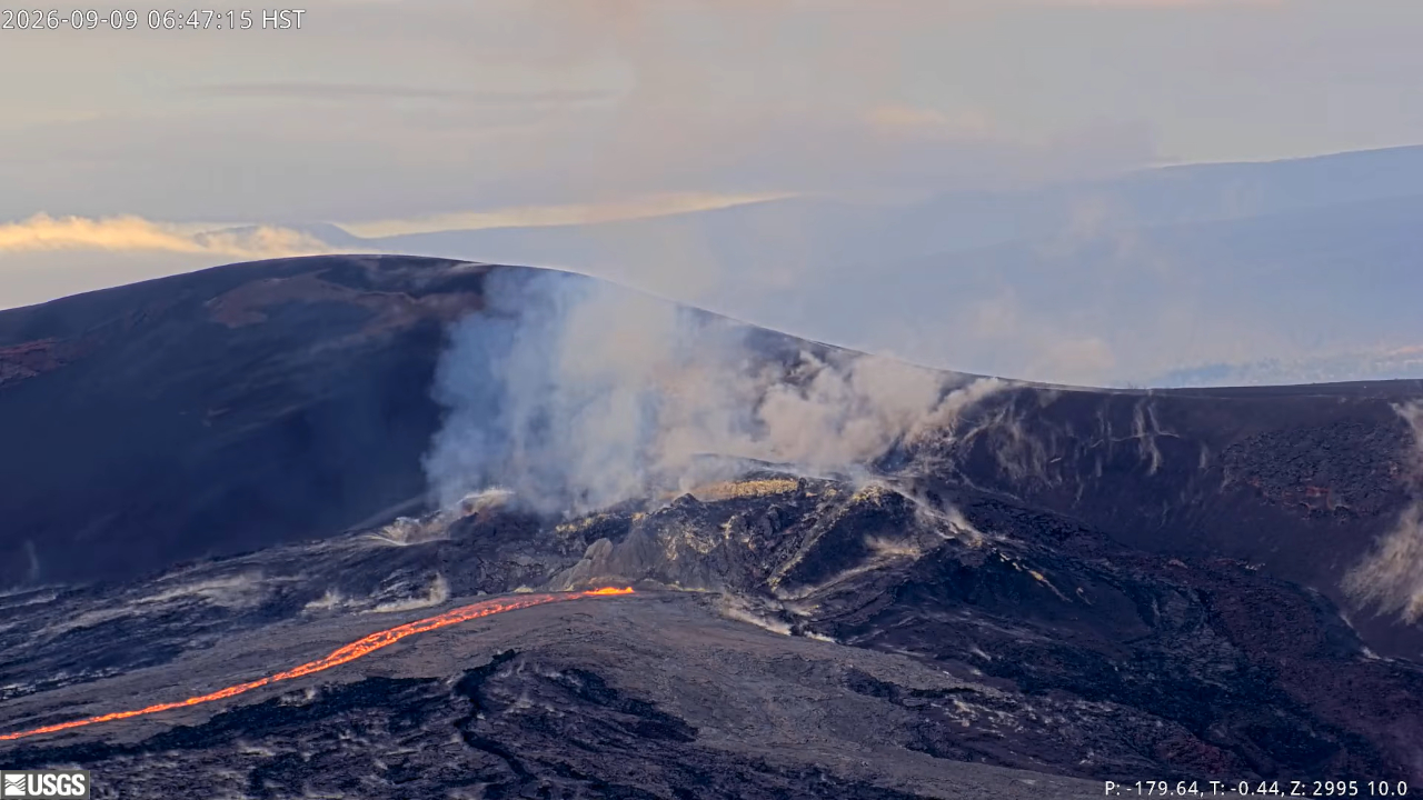
Summit reinflation has been very unsteady since lava fountaining episode 54 on August 25. On September 7 around 3:00 p.m. HST, inflation at UWD reached a maximum that was higher than when episode 54 began, approximately 13.2 microradians. Following this inflationary high, UWD recorded around 1 microradian of deflation with the onset of precursory activity. Since then, there has been little change with slow inflation totaling 0.5 microradians. As of this morning, UWD remains at a similar amount of ground tilt it showed yesterday: approximately 12.3 out of the 12.7 microradians lost during episode 54.
During inter-episode pauses, the sulfur dioxide (SO2) emission rate from the summit typically varies between 1,000 and 5,000 tonnes per day. Trade winds have returned but continue to be weak this morning. The degassing plume is being pushed to the southwest of Kīlauea’s summit caldera. Continued trade winds today could blow volcanic gases as well as fine ash and Peleʻs hair to the southwest of Kaluapele if episode 55 begins.
Rift Zone Observations:
Rates of seismicity and ground deformation remain low in the East Rift Zone and Southwest Rift Zone. SO2 emissions from the East Rift Zone remain below the detection limit.
Source : HVO.
Kamchatka , Klyuchevskoy :
KVERT VOLCANIC ACTIVITY NOTICE (VAN)
Issued: September 9 , 2026
.Volcano: Klyuchevskoy (CAVW #300260)
Current aviation colour code: YELLOW
Previous aviation colour code: orange
Source: KVERT
Notice Number: 2026-98
Volcano Location: N 56 deg 03 min E 160 deg 39 min
Area: Kamchatka, Russia
Summit Elevation: 4750 m (15580 ft)
Volcanic Activity Summary:
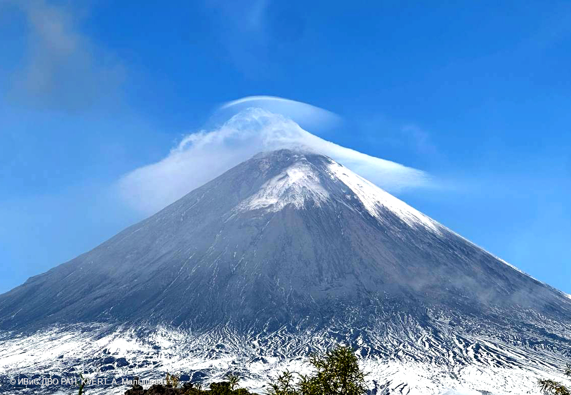
The moderate explosive eruption of the volcano, with lava fountaining in the crater (Strombolian activity), continues. According to KVERT video data, last explosions with ash removal up to 7 km a.s.l. were observed on 30 August. Satellite data by KVERT showed a thermal anomaly on the volcano all time.
This moderate explosive eruption of the volcano continues. Volcanic danger to local airlines remains.
Volcanic cloud height: NO ASH CLOUD PRODUCED
Other volcanic cloud information: NO ASH CLOUD PRODUCED
Source : KVERT.
Photo : A. Malysheva. IVS FEB RAS, KVERT
Colombia , Chiles / Cerro Negro :
San Juan de Pasto, September 8, 2026, 4:00 PM.
Following the monitoring of activity at the Chiles-Cerro Negro volcanic complex (CVCCN), the Colombian Geological Service (SGC),an agency attached to the Ministry of Mines and Energy
reports the following:
For the period from September 1 to September 7, 2026, the main variations in monitored parameters compared to the previous week were as follows:
● Amidst the fluctuating behavior of this volcanic complex, seismic activity showed a slight decrease in earthquake frequency and a slight increase in energy levels. It should be noted that the most frequent events were those linked to fluid dynamics from a persistent source, followed by earthquakes associated with rock fracturing.
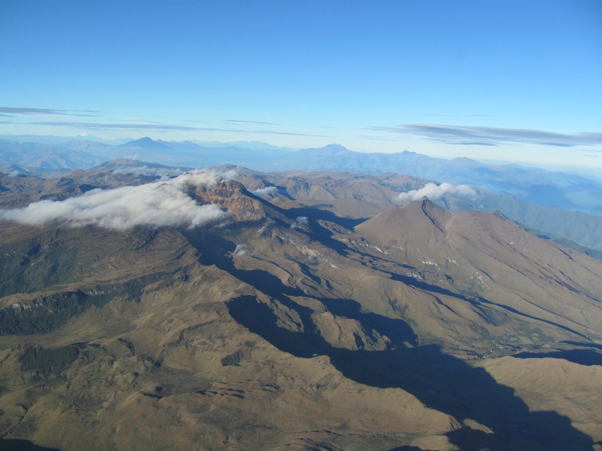
● During this period, seismic activity was scattered across areas both near and far from the Chiles volcanic edifice—primarily to the south—at distances of up to 6 km from Chiles, at depths ranging from 2 to 8 km below its summit (4,700 m above sea level), and with magnitudes below 1.9.
● Analysis of data from satellite sensors and ground stations continued to reveal variations associated with deformation processes in the volcanic zone.
Based on the assessment and correlation of monitored parameters, the SGC recommends closely monitoring the situation’s evolution via weekly bulletins and other information published on our official channels, as well as adhering to the directives of local and departmental authorities and the National Unit for Disaster Risk Management (UNGRD).
Volcanic activity remains at the yellow alert level: an active volcano showing changes in the baseline behavior of monitored parameters and other manifestations.
Source et photo : SGC.
Peru , Sabancaya :
Local date and time: September 7, 2026 – 14:49
Bulletin analysis period: August 31 to September 6, 2026
Volcanic alert level
Orange alert level: The volcano is experiencing a significant increase in eruptive activity. Intensified seismic activity, frequent explosions, and emissions of ash and ballistic blocks are being observed.
Conclusions
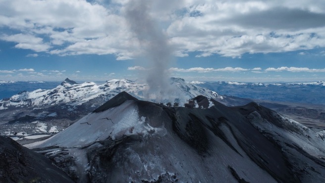
The IGP reports that the eruptive process at Sabancaya volcano is ongoing. No volcanic explosions were recorded during this period; only emissions of water vapor, ash, and gas reaching up to 1,400 m above the summit were observed, accompanied by seismic activity linked to the movement of magmatic fluids and internal fracturing. Consequently, the volcanic alert level remains at orange.
Recommendations
Stay continuously informed about Sabancaya’s volcanic activity through reports and bulletins published by the IGP.
Outlook
Future volcanic explosions generating eruption columns exceeding 2 km in height are considered probable; such events could affect districts in the Colca Valley and surrounding areas through the dispersal of volcanic ash. The volcanic alert level therefore remains at orange.
Source et photo : IGP