Indonesia , Marapi :
An eruption of Mount Marapi occurred on Sunday, November 8, 2026, at 00:34 WIB. The height of the eruption column could not be observed. The eruption was recorded by a seismograph, with a maximum amplitude of 4.9 mm and a duration of 30 seconds.
Seismic observations
1 eruption earthquake, with an amplitude of 15.6 mm and a duration of 48 seconds.
3 emission earthquakes, with amplitudes ranging from 1 to 3.6 mm and durations between 34 and 56 seconds.
2 episodes of non-harmonic tremor, with amplitudes ranging from 1.3 to 2 mm and durations between 80 and 87 seconds.
1 local tectonic earthquake, with an amplitude of 5.6 mm and a duration of 23 seconds.
2 distant tectonic earthquakes, with amplitudes ranging from 2.4 to 3 mm and durations between 51 and 63 seconds.
1 episode of continuous tremor, with an amplitude ranging from 1 to 4 mm (dominant amplitude: 2 mm).
Recommendations
1. Communities living in the vicinity of Mount Marapi, as well as hikers, visitors, and tourists, are advised not to enter a 3 km radius around the eruption center (Verbeek crater) of Mount Marapi, nor to conduct any activities within that area.
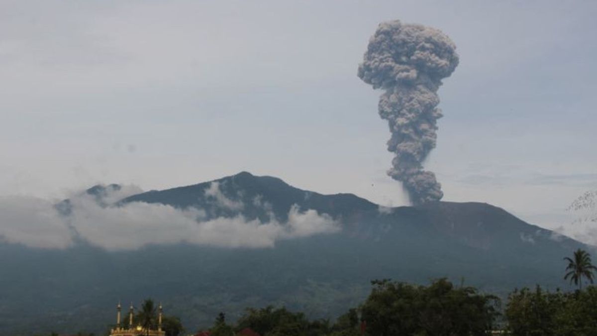
Mount Marapi in West Sumatra (Sumbar) again erupted on November 7, 2026 at 09.55 WIB with volcanic ash spread seen spreading in the Sungai Pua District area, Agam Regency.
« We felt the volcanic ash rain in Nagari Sariak, Sungai Pua. It was very disturbing to the vision and made the breath tight, » said the Head of the Sariak Disaster Alert Village (KSB) Sariak Ismail Damar in Bukittinggi, Saturday.
He said the ash material covered most of the farmland and gardens owned by residents on the slopes of Mount Marapi.
Meanwhile, the Head of the local village, Ismail, said that he chose to take shelter inside the hut to avoid exposure to volcanic ash that disrupted outdoor activities.
« I am currently in the garden, temporarily taking shelter in the hut. The ash rain interferes with activities, » he said.
In line with this, the Mount Fire Observation Post (PGA) officer Ahmad Rifandi recorded the eruption recorded in the seismogram with a maximum amplitude of 15.6 mm and a duration of about 48 seconds.
« The height of the ash column due to the eruption was not observed from the observation post. Until now, the status of Mount Marapi’s activity is still at Level II (Warning), » he said.
Sources : PVMBG , VOI id
Photo : PVMBG
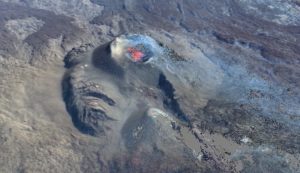
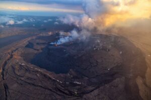
Costa Rica , Poas :
Latitude: 10.20° N;
Longitude: 84.23° W;
Elevation: 2,687 m above sea level.
Current activity level: Warning
No eruptions were recorded this week. Overall, the amplitude of the volcanic tremor remains moderate, with little variation. A distal volcano-tectonic earthquake was recorded to the south of the volcanic edifice. The number of long-period events remains stable. No significant deformation has been observed. Multi-GAS stations recorded an average SO2/CO2 ratio of 1.2 ± 0.3, a value higher than that of the previous week (0.9 ± 0.4). It should be noted that these values fall within the margin of error of one another. The average H2S/SO2 ratio for this week was 0.3.
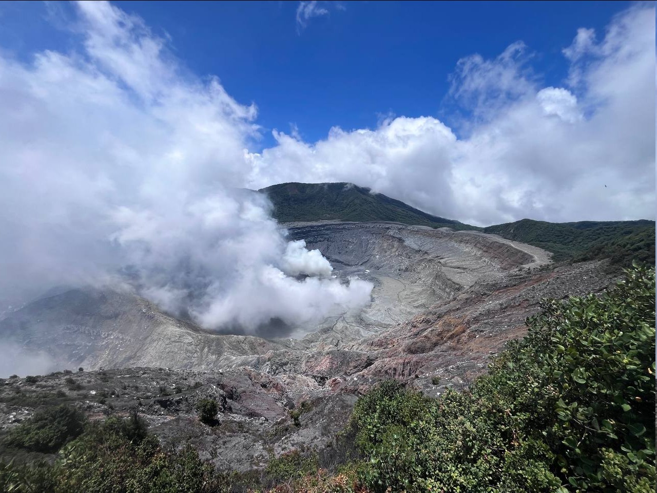
The NOVAC stations recorded 154 ± 39 tonnes of SO2 per day, with a maximum of 415 t/day. This average represents an increase compared to the previous week (41 ± 27 tonnes of SO2 per day, with a maximum of 288 t/day). This rise is linked to wind conditions that were more favorable for taking these measurements. The SENTINEL satellite detected the SO2 plume on October 30, with an estimated 15 tonnes of SO2 present in the atmosphere. The level of the hyperacidic lake continued to drop this week (-0.6 m). This phenomenon appears to be linked to low precipitation levels.
Source et photo : Ovsicori.
Colombia , Nevado del Ruiz :
Manizales, November 3, 2026, 5:00 PM.
As part of the ongoing monitoring of the Nevado del Ruiz volcano, the Colombian Geological Service (SGC)—an agency affiliated with the Ministry of Mines and Energy—reports the following:
During the week of October 27 to November 2, 2026, the volcano continued to exhibit unstable behavior. Compared to the previous week, the primary variations in the monitored parameters were as follows:
– Seismic activity associated with rock-fracturing processes within the volcanic edifice increased, in terms of both the number of recorded earthquakes and the total seismic energy released. These earthquakes were primarily located near the Arenas crater and along the northern, north-northeastern, and northwestern flanks of the volcano, at distances of up to 11 km from the crater. The events occurred at depths ranging from less than 1 km to 7 km below the volcano’s summit. The strongest earthquake of the week was recorded on October 28 at 6:33 AM, with a magnitude of 2.1; it was located 2 km north of the crater at a depth of 3 km.
– Seismicity associated with fluid dynamics within the volcanic conduits remained stable in terms of the number of recorded events, while the seismic energy released decreased. These events were of short duration and involved low energy levels.
Furthermore, the volcano’s activity continues without any ash emissions or significant changes in the apparent temperature of the gas column—a pattern that has persisted since March 8, 2026.
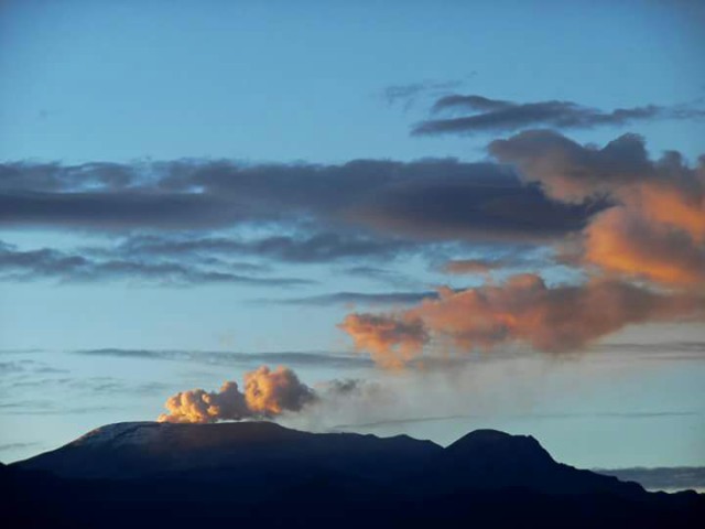
– The emission of water vapor and volcanic gases—primarily sulfur dioxide (SO₂)—into the atmosphere continued at the Arenas crater. The estimated flux of this gas increased compared to the previous week, aided by wind conditions that facilitated measurement. Furthermore, ongoing monitoring via satellite imagery continued to show low levels of SO₂ emissions, remaining within the range of variations recorded since the end of July 2026.
– The vertical height of the gas and water vapor plume ranged from 200 m to 800 m above the volcano’s summit, with a predominant height of 500 m. The maximum height of 800 m was recorded on October 31. The dispersion direction of the plume was variable, with a tendency toward the southwest and northwest sectors, and to a lesser extent, toward the north-northeast, north-northwest, and southeast of the volcano.
– Monitoring of thermal anomalies at the bottom of the Arenas crater via satellite imagery was limited by cloud cover in the area. Nevertheless, a few low-intensity thermal anomalies were recorded.
Source et photo : SGC.
Ecuador , El Reventador :
DAILY STATUS REPORT FOR REVENTADOR VOLCANO, Saturday, November 7, 2026.
Information from the Geophysical Institute – EPN.
Surface activity level: Moderate; Surface trend: Unchanged
Internal activity level: Moderate; Internal trend: Unchanged
From November 6, 2026, 11:00 AM to November 7, 2026, 11:00 AM:
Seismicity:
Explosions (EXP): 82
Long-period (LP) events: 15
Emission tremors (TREMI): 13
Harmonic tremors (TRARM): 5
Rainfall / Lahars:
At the time of writing this report, no precipitation has been recorded in the vicinity of the volcano. **In the event of heavy rainfall, accumulated materials could be remobilized, triggering mud and debris flows that would descend the volcano’s flanks and reach adjacent rivers.**
Emission columns / Ash:
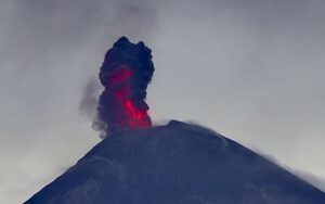
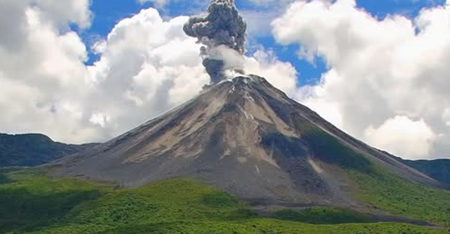
The surveillance camera system recorded several gas and ash emissions, with plumes rising between 500 and 1,500 meters above the crater rim and drifting toward the southwest, northwest, and west. In connection with this activity, the Washington VAAC issued four reports noting emissions reaching heights of 700 to 1,300 meters above the crater rim, moving toward the southwest, northwest, and west.
Other monitoring parameters:
The MIROVA MODIS satellite system recorded 2 thermal anomalies; the MIROVA VIIRS 750 system recorded 2; the MIROVA VIIRS 375 system also recorded 2; and the FIRMS satellite system detected 8 thermal anomalies over the past 24 hours.
Observation:
During the night and early morning hours, the surveillance camera system captured incandescent material descending as far as 1,100 meters below the crater rim. At the time of writing, the volcano is completely obscured by clouds.
Alert Level – SGR: Orange
Source : IGEPN.
Photo : Afar tv.
Guatemala , Santiaguito :
Atmospheric conditions: Clear sky
Wind: From the north
Precipitation: 3.3 mm
Activity
Activity at the Caliente dome continues, characterized by weak to moderate explosions. These generate ash plumes reaching altitudes of up to 3,200 m, which disperse toward the south over a distance of approximately 15 km; ashfall has been reported in the villages of Las Marías, Belén, Calaguache, and other nearby localities. During the night and early morning, incandescence was observed at the crater, indicating the presence of active magma at the surface.
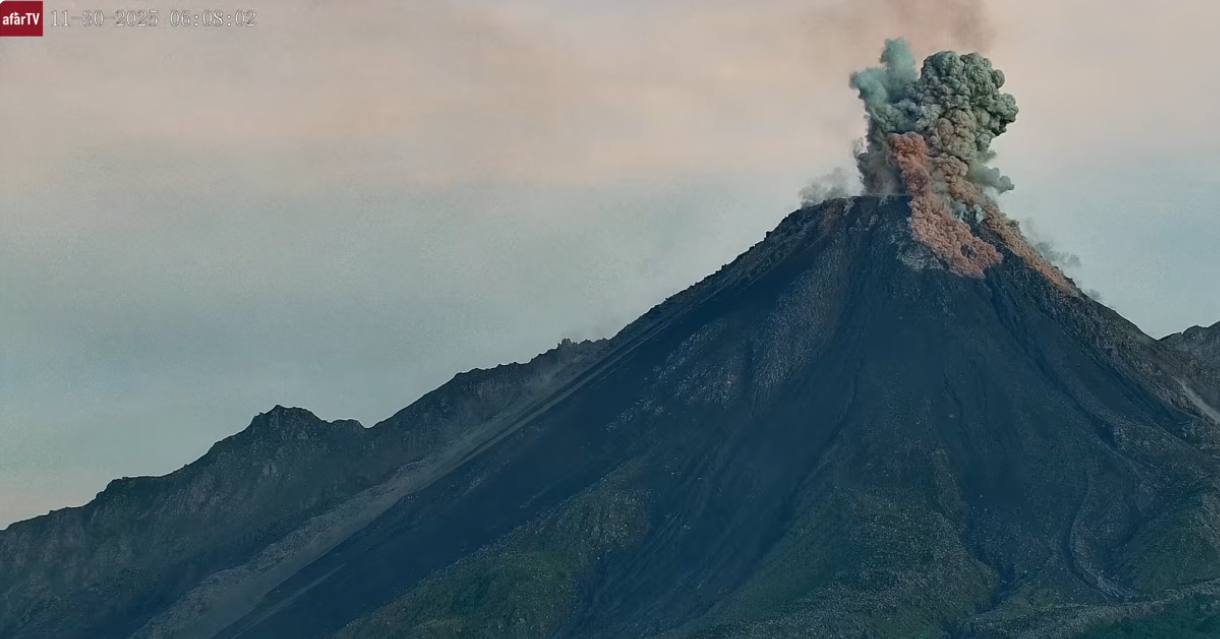
On the southwest and northeast flanks, the extrusion of blocky lava remains intense, triggering avalanches and short-range pyroclastic flows, some of which reach the base of the dome. This activity, combined with the instability of the dome, sustains the risk of partial collapses capable of generating longer-range pyroclastic flows. For this reason, it is strongly advised not to approach the domes, nor to enter or remain within the ravines, as these areas present the highest level of danger.
Source : Insivumeh.
Photo : Afar tv.