May 2 , 2026.
United States , Yellowstone :
YELLOWSTONE VOLCANO OBSERVATORY MONTHLY UPDATE , U.S. Geological Survey
Friday, May 1, 2026, 2:22 PM MDT (Friday, May 1, 2026, 20:22 UTC)
44°25’48 » N 110°40’12 » W,
Summit Elevation 9203 ft (2805 m)
Current Volcano Alert Level: NORMAL
Current Aviation Color Code: GREEN
Summary
Yellowstone Caldera activity remains at background levels, with 97 located earthquakes in April (largest = M2.5). Deformation measurements indicate no significant uplift or subsidence of the caldera or north caldera rim since January 2026.
Recent Work and News
Echinus Geyser, in Norris Geyser Basin, reawakened from a several-year slumber in February, with about 40 eruptions that month, but the geyser had only four eruptions in April. At Black Diamond Pool in Biscuit Basin (site of a hydrothermal explosion in 2024), two eruptions were recorded during the month by acoustic, seismic, and temperature measurements, occurring on April 28 and 29. The latter event was the largest recorded since monitoring instruments were installed in the area during summer 2025. In April, geologists visited the park to conduct field investigations of geyser activity. Planned field work in May includes deployment of ground deformation equipment, geochemical sampling, and reconnaissance work for new monitoring stations. The biennial Yellowstone Volcano Observatory coordination meeting will also take place in May.
Seismicity
During April 2026, the University of Utah Seismograph Stations, responsible for the operation and analysis of the Yellowstone Seismic Network, located 97 earthquakes in the Yellowstone National Park region. The largest event of the month was a microearthquake of magnitude 2.5 located about 16 miles south-southeast of Mammoth Hot Springs in Yellowstone National Park on April 14 at 2:13 a.m. MDT.
April seismicity in Yellowstone was marked by a swarm of 16 earthquakes that occurred approximately 16 miles south-southeast of Mammoth Hot Springs in Yellowstone National Park during April 13–14. The largest earthquake in the sequence was also the largest in April (described above).
Earthquake activity in Yellowstone is at background levels.
Ground Deformation
Continuous GPS stations indicate that the uplift that started in July 2025 on the north caldera rim ceased by mid-January 2026. In Yellowstone Caldera, continuous GPS data recorded little net change since December. This is the first winter since 2015–2016 with no caldera subsidence, suggesting a subtle change in the style of caldera deformation.
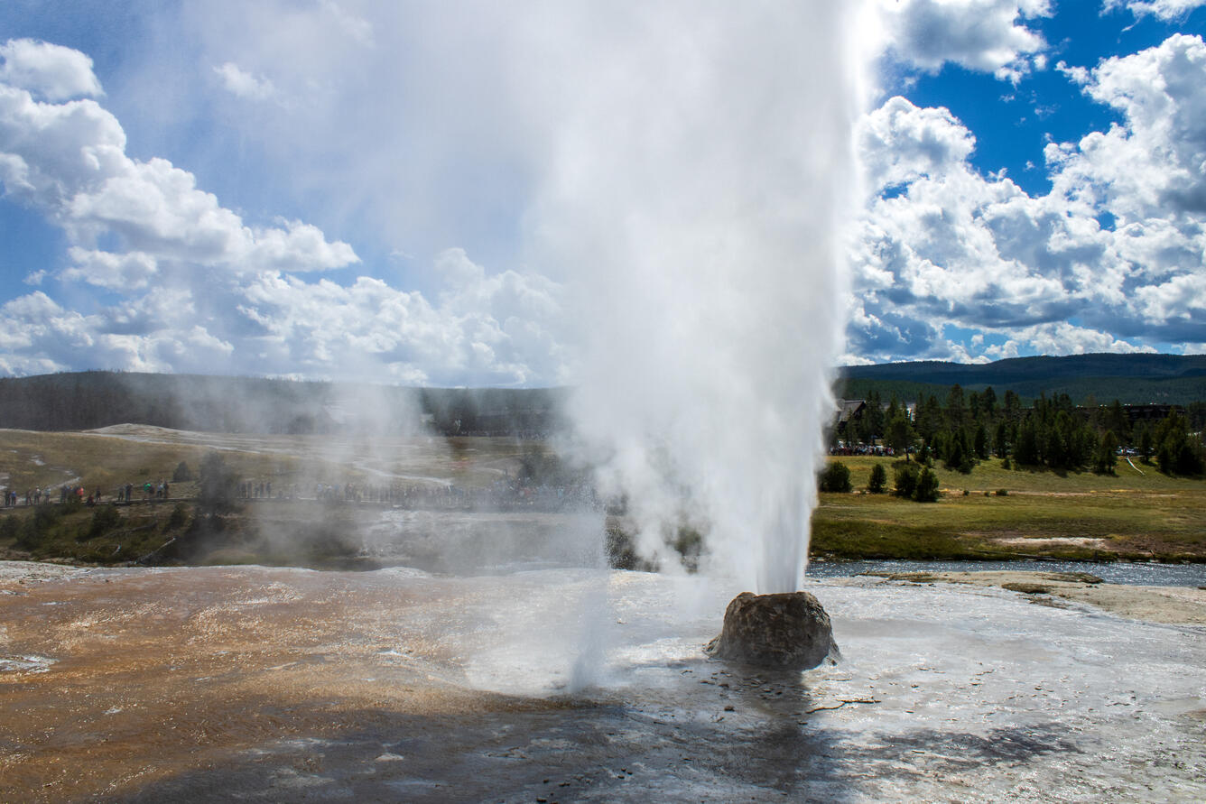
Source : YVO
Photo : Beehive Geyser , YVO.
Colombia , Cumbal :
San Juan de Pasto, April 28, 2026, 7:00 PM
Regarding the monitoring of activity at the Cumbal Volcanic Complex (CVC), the Colombian Geological Service (SGC), an agency under the Ministry of Mines and Energy, reports the following:
During the week of April 21-27, 2026, the main variations in monitored parameters compared to the previous week were as follows:
● No significant variations were recorded in the frequency and energy of seismic activity.
Seismic activity remains low and is still linked to rock fracturing processes within the volcanic edifice. Among these low levels of seismicity, two earthquakes of magnitude 2.3 and 2.4, which occurred on April 24 and 25 respectively, should be noted; no earthquakes were reported. In general, localized earthquakes were dispersed over the volcanic edifice at depths not exceeding 8.5 km from the summit of the volcanic complex (4,700 m altitude).
● Gas emissions were observed at the El Verde, Rastrojos, and Boca Vieja fumarole fields, consistent with typical degassing patterns.
● Other volcanic monitoring parameters remained stable.
In light of the above, the Geological Survey of Colombia (SGC) recommends closely monitoring developments through weekly bulletins and other information published via its official channels, as well as following instructions from local and departmental authorities and the National Unit for Disaster Risk Management (UNGRD).
Volcanic activity remains at the yellow alert level: Active volcano with changes in baseline behavior of monitored parameters and other manifestations.
Source et photo : SGC.
Indonesia , Dukono :
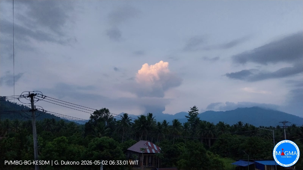
An eruption of Mount Dukono occurred on Saturday, May 2, 2026, at 6:18 AM WIT, with an ash column observed approximately 2,400 m above the summit (about 3,487 m altitude). The ash column was white to gray in color, dense, and directed northwest. At the time of writing, the eruption was still ongoing.
Seismic Observations
73 eruption earthquakes with amplitudes ranging from 6 to 22 mm and durations from 38.64 to 67.72 seconds.
Continuous seismic tremor with amplitudes ranging from 1 to 8 mm, predominantly 3 mm.
Recommendations
(1) Communities living near Mount Dukono and visitors/tourists are advised to refrain from any activity, climbing, or approaching the Malupang Warirang crater within a 4 km radius.
(2) Given that volcanic ash eruptions are periodic and that ash dispersion depends on wind direction and strength, making the ash cover area unstable, communities living near Mount Dukono are advised to always have masks/face coverings available to protect themselves from respiratory risks associated with volcanic ash.
Source et photo : PVMBG.
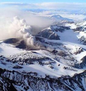
Alaska , Shishaldin :
Shishaldin Volcano continues to exhibit volcanic unrest. Seismic and infrasound activity remain elevated, as indicated by numerous small earthquakes, frequent infrasound signals, and persistent volcanic tremor recorded throughout the week. The volcano was obscured by clouds in webcam and satellite images most of the week. Elevated sulfur dioxide gas emissions were detected in satellite data on most days this week.

Shishaldin Volcano is monitored by local seismic and infrasound sensors, web cameras, and a telemetered geodetic network. In addition to the local monitoring network, the Alaska Volcano Observatory uses nearby geophysical networks, regional infrasound and lightning data, and satellite data to monitor the volcano.
Source : AVO.
Photo : Loewen, Matt
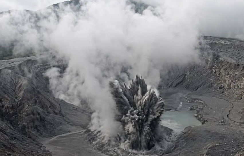
Costa Rica , Poas :
OVSICORI-UNA Volcano Weekly Monitoring Bulletin, April 30, 2026
Latitude: 10.20°N;
Longitude: 84.23°W;
Elevation: 2,687 m
Current Activity Level: Alert
Two eruptions were recorded this week, on April 27 at 3:00 PM and April 28 at 3:00 AM. Their acoustic magnitude was approximately 3.5. Four distal and two proximal earthquakes were also recorded. The number of long-period events remains low compared to recent months. Background tremor exhibits variations in amplitude and frequency, reflecting the diversity of sources and the instability of the system. Geodetic observations show no significant uplift at the VPCR station, located in the crater area, nor any notable horizontal expansion between the visitor center and the crater. The dominant horizontal trend remains a slight contraction of the southern flank towards the crater. However, some processing scenarios suggest a gradual vertical uplift at stations such as VPEV and possibly VPJA, with values on the order of 1 to 1.5 cm over the last three months and a possible acceleration since the beginning of April.
The composition of the gases shows slight variations compared to last week. The SO₂/CO₂ ratio shows average values close to 1.8, compared to 1.3 the previous week, and the H₂S/SO₂ ratio values close to 0.1. This week, DOAS stations recorded an average SO₂ flux of approximately 110 t/d, similar to that of the previous week (approximately 130 t/d).
The SENTINEL satellite detected the SO₂ plume almost daily, with a stable mass of approximately 30 to 40 tonnes until April 28, when a mass of 144 tonnes of SO₂ was detected in the atmosphere. An image taken on April 29 shows no thermal anomalies detected by satellite. The level of the hyperacidic lake has shown a downward trend, with the exception of the eruptions of April 27 and 28, which resulted in a cumulative rise of approximately 1 m. The temperatures of the lake (>70 °C) and of the fumaroles (<80 °C) remain stable.
Source et photo : OVSICORI