August 15 , 2026.
Italy / Sicily , Etna :
Update on Etna’s activity, August 14, 2026, 18:32 (16:32 UTC).
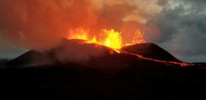
The National Institute of Geophysics and Volcanology (INGV), Osservatorio Etneo, reports that video surveillance images and field inspections by INGV (OE) personnel indicate ongoing effusive activity at the eruptive vent located at an elevation of 1,900 m, as well as at a nearby ephemeral vent. Conversely, activity at the vent located at an elevation of 2,750 m has ceased (see the update from August 10, 22:25 UTC). At 08:00 UTC, the most advanced active lava fronts—originating from the vent at 1,900 m elevation—were located near Rocca Musarra, at an elevation of approximately 1,600 m. The lava flow that had slightly advanced beyond Rocca Capra (Valle del Bove) yesterday is no longer being fed.
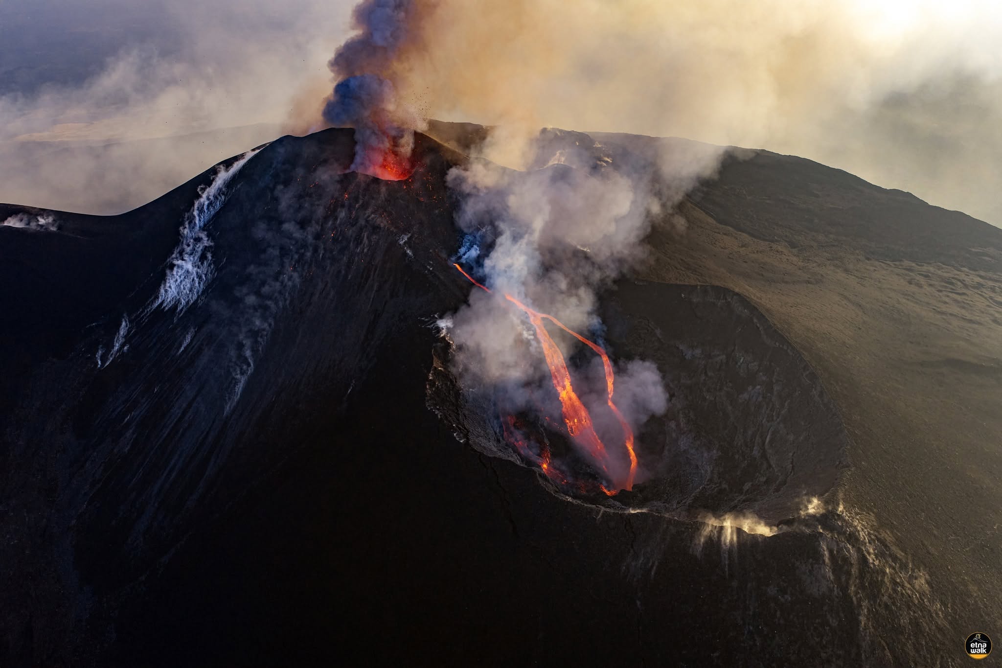
Explosive activity at the Voragine crater continues with varying intensity, generating ash emissions that disperse towards the southern quadrant.
Seismically, the average amplitude of volcanic tremor is showing significant fluctuations while remaining at high levels. Tremor source centroids are located in the Voragine crater area, at an elevation of approximately 3,000 m above sea level.
Infrasonic activity remains at a moderate level—regarding both the number of events and the associated energy—with sources located at the Voragine crater.
Signals from ground deformation monitoring networks show no significant changes.
Further updates will be provided in due course.
Source : INGV.
Photo : Etna Walk / Giuseppe Distefano / Marco Restivo.
Iceland , Askja :
Measurements show that uplift at Askja has ceased
The uplift that began at Askja in 2021 has ceased. Initial indications also suggest that subsidence has begun in the area.
Fieldwork at Askja was completed this week. Scientists from the Icelandic Meteorological Office and the University of Gothenburg carried out deformation and gas measurements. The deformation measurements showed that the uplift has ceased and that minor subsidence is now being detected. No changes were detected in the gas composition in the eastern part of Askja compared with previous years. Seismic activity in the area is low and consistent with known background activity.
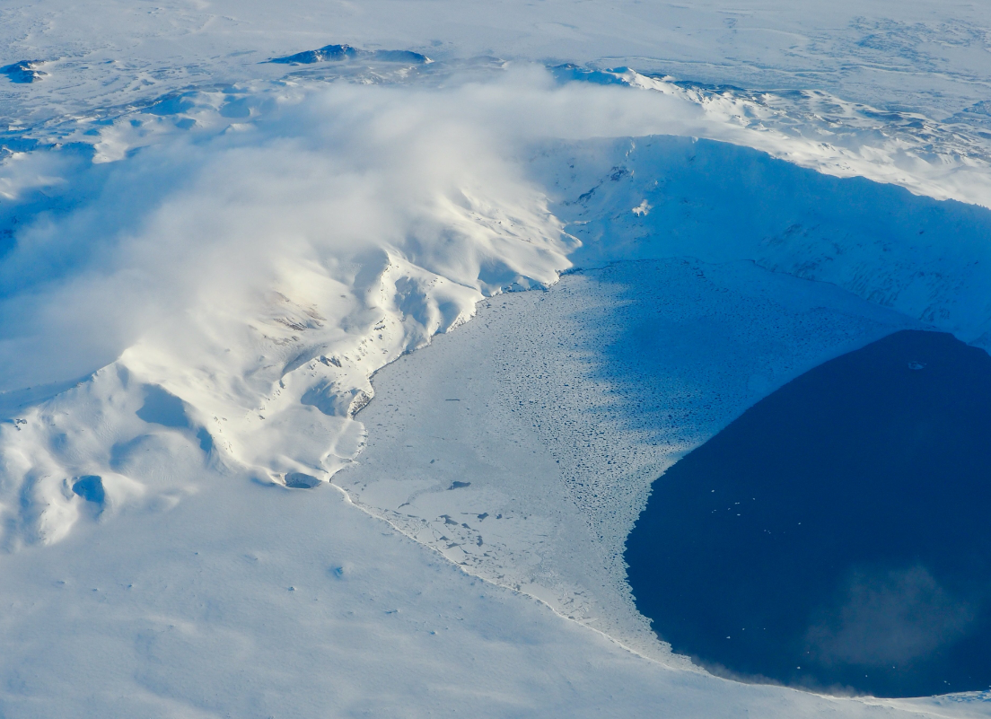
The results therefore indicate that the sequence of events that began in 2021 has ended. In light of this, the volcanic alert level for Askja has been lowered to Level 0, which represents normal background conditions.
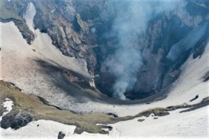
As before, steam explosions may still occur within geothermal areas at Askja.
The Aviation Colour Code for Askja remains Green.
Source : IMO.
Photo : Ragnar Heiðar Þrastarson
Kamchatka , Sheveluch :
KVERT VOLCANIC ACTIVITY NOTICE (VAN)
Issued: August 14 , 2026
Volcano: Sheveluch (CAVW #300270)
Current aviation colour code: ORANGE
Previous aviation colour code: orange
Source: KVERT
Notice Number: 2026-85
Volcano Location: N 56 deg 38 min E 161 deg 19 min
Area: Kamchatka, Russia
Summit Elevation: 3283 m (10768.24 ft), the dome elevation ~2500 m (8200 ft)
Volcanic Activity Summary:
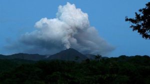
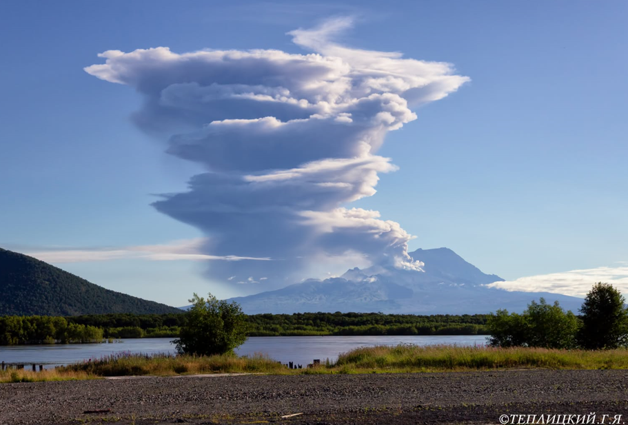
The explosive-extrusive eruption of the volcano continues, accompanied by powerful gas-steam activity; a new block of lava continues to grow in the northern part of the lava dome. A removal of volcanic gas containing some amount of ash was observed for 15 min. At 01:25 UTC an cloud rose up to 4 km a.s.l., an cloud moved to the east of the volcano.
The explosive-extrusive eruption of the volcano continues. Ash explosions up to 12 km (39,400 ft) a.s.l. could occur at any time. Ongoing activity could affect international and low-flying aircraft.
Volcanic cloud height:
4000 m (13120 ft) AMSL Time and method of ash plume/cloud height determination: 20260814/0125Z – Video data
Other volcanic cloud information:
Distance of ash plume/cloud of the volcano: 5 km (3 mi)
Direction of drift of ash plume/cloud of the volcano: E
Time and method of ash plume/cloud determination: 20260814/0125Z – Video data
Duration of explosion: ~ 15 min
Source : Kvert.
Photo : Gennady Teplitsky.
Indonesia , Dukono :
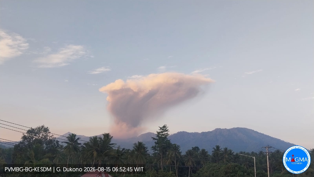
An eruption of Mount Dukono occurred on Saturday, August 15, 2026, at 06:38 (WIT), with an observed ash plume reaching a height of approximately 1,500 m above the summit (or about 2,587 m above sea level). This dense, white-to-gray plume was drifting northwest. At the time of writing, the eruption was still ongoing.
Seismic observations
86 eruption earthquakes with amplitudes of 7–27 mm and durations of 40.78–303.14 seconds.
1 local tectonic earthquake with an amplitude of 6 mm and a duration of 58.43 seconds.
3 distant tectonic earthquakes with amplitudes of 12–36 mm and durations of 84.49–175.28 seconds.
1 episode of continuous tremor with an amplitude of 1–4 mm (dominant amplitude: 2 mm).
Recommendations
(1) Communities living near Mount Dukono, as well as visitors and tourists, are advised not to engage in activities, hike, or approach the Malupang Warirang crater within a 4 km radius.
Source et photo : PVMBG.
Colombia , Nevado del Ruiz :
Manizales, August 11, 2026, 1:00 PM.
Based on monitoring of activity at the Nevado del Ruiz volcano, the Colombian Geological Service (SGC)—an agency attached to the Ministry of Mines and Energy—reports the following information:
During the week of August 4 to 10, 2026, the volcano continued to exhibit unstable behavior.
Compared to the previous week, the main variations in monitored parameters were as follows:
– Seismic activity associated with rock-fracturing processes within the volcanic edifice increased, in terms of both the number of recorded earthquakes and the seismic energy released. The earthquakes were located primarily near the Arenas crater and on the south-southeast and northwest flanks of the volcano. Most events occurred within a 6 km radius of the crater, although some reached distances of up to 11 km. Earthquake depths ranged from less than 1 km to 8 km below the volcano’s summit. The maximum recorded magnitude was 1.4, on August 10 at 6:06 PM; this event was located 3 km south-southeast of the Arenas crater at a depth of 2 km.
– Seismicity associated with fluid dynamics within the volcanic conduits showed an increase in the number of events, accompanied by a slight rise in released seismic energy. This activity was characterized by short-duration, low-energy signals. As in previous weeks, no long-duration seismic signals were recorded, and no pulsed ash emissions or changes in the apparent temperature of the gas column were confirmed.
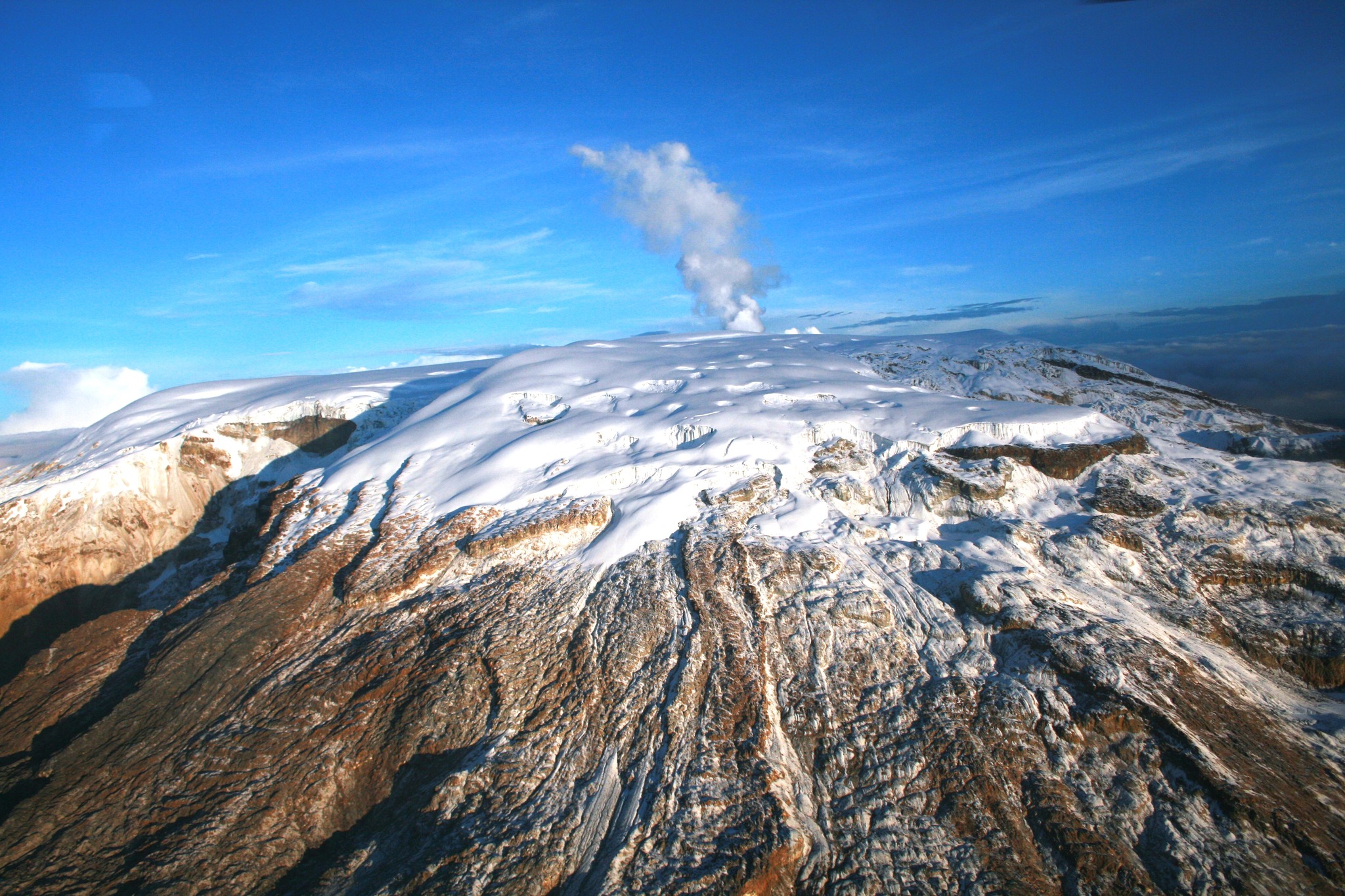
– Emissions of water vapor and volcanic gases—primarily sulfur dioxide (SO₂)—into the atmosphere continued from the Arenas crater. The estimated SO₂ flux associated with degassing processes showed a slight decrease compared to the previous week. Satellite observations continue to indicate low SO₂ emission rates.
– The gas and water vapor plume reached a maximum vertical height of 500 m above the volcano’s summit on August 8, although it generally fluctuated between 200 m and 400 m. Plume dispersion was directed primarily toward the volcano’s northwest flank. Additionally, strong winds in the volcanic area continued to resuspend previously deposited ash, resulting in particle fallout in Manizales and Villamaría.
– Satellite monitoring platforms detected thermal anomalies at the base of the Arenas crater, with some reports indicating low energy levels.
The volcanic activity level remains at « Yellow Alert »: an active volcano showing changes in the baseline behavior of monitored parameters and other manifestations.
Source et photo : SGC.