November 12 , 2026 .
Alaska , Great Sitkin :
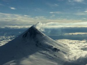
Lava is likely continuing to ooze slowly within the summit crater of the Great Sitkin volcano. A few low-magnitude earthquakes have been detected at the volcano over the past day. Satellite and webcam imagery were obscured by clouds.
NOTE: As the ongoing summit eruption at Great Sitkin Volcano is stable and evolving very slowly, the Alaska Volcano Observatory (AVO) has decided to discontinue daily updates, effective today. We will, however, continue to issue weekly updates. Should the nature of the eruption change, or if other volcanoes show signs of instability, the AVO will resume the publication of daily updates.
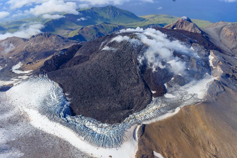
The current eruption began in July 2021. Since then, lava flows have filled most of the summit crater and advanced into the valleys below. No explosions have been recorded at Great Sitkin Volcano since an event in May 2021. The volcano is monitored using local seismic and infrasound sensors, satellite data, webcams, and regional infrasound and lightning detection networks.
Source : AVO.
Photo : Loewen, Matt / Alaska Volcano Observatory / U.S. Geological Survey.
Iceland , Reykjanes Peninsula :
Situation on the Reykjanes Peninsula
Ground uplift continues at Svartsengi – Update from November 10, 2026
Ground uplift continues at Svartsengi, indicating an ongoing accumulation of magma.
A magmatic intrusion, which could potentially lead to an eruption, remains the most likely scenario.
The current hazard map remains valid until January 5, 2027, unless conditions change.
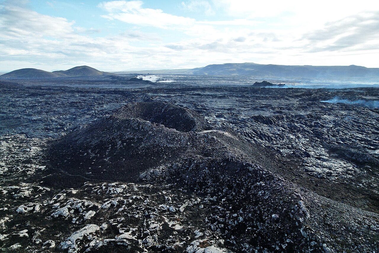
Deformation measurements continue to show ground uplift at Svartsengi. Data from the Svartsengi GPS station, recorded between November 2025 and November 9, 2026, indicate consistent uplift over the past few months. This suggests that magma continues to accumulate several kilometers beneath the area, leading to an increase in pressure. Recent seismic activity has remained very low and is considered to be within the range of typical background activity.
As long as magma continues to accumulate beneath Svartsengi, the most likely scenario remains a magmatic intrusion along the Sundhnúkur crater row. Such an intrusion could lead to an eruption. It is impossible to predict when the next event will occur, and the warning time could be very short.
The Icelandic Met Office continues to closely monitor the situation. The current hazard map remains valid until January 5, 2027, unless conditions change. Should activity evolve or new data warrant a reassessment, the hazard analysis will be revised before the map’s expiration date.
Source : IMO.
Photo : Steinninn.
Colombia , Chiles – Cerro Negro :
San Juan de Pasto, November 10, 2026, 5:30 PM.
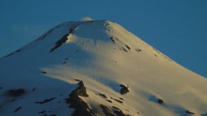
Based on the monitoring of activity at the Chiles-Cerro Negro Volcanic Complex (CVCCN), the Colombian Geological Service (SGC)—an entity affiliated with the Ministry of Mines and Energy—
reports the following:
During the period from November 3 to November 9, 2026, the main variations in the monitored parameters, compared to the previous week, were as follows:
● As is typically the case, seismic activity continued to show fluctuating behavior; this week, a decrease was observed in both the frequency of events and the seismic energy released. Furthermore, it should be noted that the predominant seismicity remained that associated with rock-fracturing processes, followed by activity linked to fluid dynamics within the volcanic system.

●Fracture-related seismicity was concentrated up to 3.5 km west of the Chiles volcano, at depths ranging from 2.8 to 5.1 km below its summit (4,700 m above sea level). The maximum magnitude for events originating from this source was 1. A few earthquakes were located toward the interior of the collapse zone of the Cerro Negro volcano, at depths between 2.2 and 4.3 km below its summit (4,700 m above sea level). The largest event of the week was recorded in this area, with a magnitude of 2.
None of the recorded events were reported as felt by local residents.
● Analysis of data collected by satellite sensors and ground-based stations continued to show variations associated with deformation processes within the volcanic zone.
Based on the assessment and correlation of the monitored parameters, the SGC (Colombian Geological Service) recommends closely following their evolution through weekly bulletins and other information published via our official channels. It is also advised to adhere to the instructions provided by local and departmental authorities, as well as those from the National Unit for Disaster Risk Management (UNGRD).
Volcanic activity remains at the « Yellow » alert level, indicating an active volcano showing changes in the baseline behavior of monitored parameters, among other manifestations.
Source et photo : SGC.
Indonesia , Ibu :
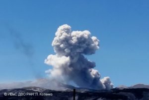
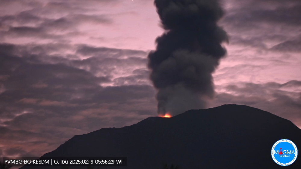
An eruption occurred, accompanied by a volcanic ash cloud, at 11:13 UTC (20:13 local time). According to the best estimates, the top of the ash cloud is approximately 5,840 feet (1,825 m) above sea level—that is, 1,600 feet (500 m) above the volcano’s summit. The actual altitude may be higher than what is clearly observable. Source of the altitude estimate: ground-based observer. The ash cloud is moving westward. The observed volcanic ash is gray in color. The ash cloud is described as dense.
Seismic Observations
118 eruption-related earthquakes, with an amplitude of 15–28 mm and a duration of 31–86 seconds.
1 rockfall-related earthquake, with an amplitude of 2 mm and a duration of 36 seconds.
3 emission-related earthquakes, with an amplitude of 2–7 mm and a duration of 32–53 seconds.
16 harmonic tremors, with an amplitude of 2–28 mm and a duration of 42–104 seconds.
130 low-frequency earthquakes, with an amplitude of 2–28 mm and a duration of 17–29 seconds.
136 shallow volcanic earthquakes, with an amplitude of 2–8 mm and a duration of 7–26 seconds.
1 deep volcanic earthquake, with an amplitude of 20 mm and a duration of 19 seconds.
1 local tectonic earthquake, with an amplitude of 12 mm and a duration of 29 seconds.
22 distant tectonic earthquakes, with an amplitude of 2–28 mm and a duration of 38–233 seconds.
Recommendations
1. Communities living near Mount Ibu, as well as visitors and tourists, are advised not to conduct any activities within a 2 km radius of Mount Ibu’s active crater (this zone extends up to 3.5 km in the direction of the crater opening).
2. In the event of ashfall, individuals who are outdoors are advised to protect their nose and mouth (using masks) and their eyes (using protective eyewear).
Source et photo : PVMBG.
Guatemala , Fuego :
Atmospheric conditions: Clear sky
Wind: From the northwest
Precipitation: 8.0 mm
Activity
During the night and toward the end of the night, low-to-moderate degassing was recorded; fumaroles reached approximately 600 meters above the crater before dispersing toward the southeast. Explosive activity continued at a rate of 5 to 8 explosions (of low-to-moderate intensity) per hour, generating ash plumes that rose between 4,300 and 4,800 meters above sea level and drifted toward the east and southeast.
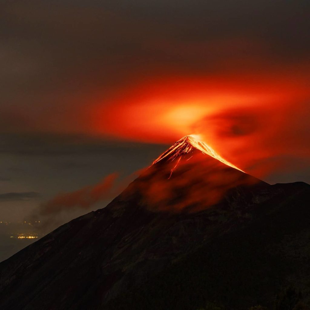
Some explosions were accompanied by rumbling, shock waves, and brief sounds reminiscent of a locomotive—phenomena associated with the continuous expulsion of gas. Incandescent material was also observed being ejected up to 200 meters above the crater, accompanied by minor avalanches. Furthermore, incandescent debris fell around the crater; this material was channeled into the Ceniza, Taniluyá, Seca, Santa Teresa, Trinidad, and Las Lajas ravines, in some cases descending as far as the vegetation line.
Source : Insivumeh.
Photo : Diego Rizzo .