October 6 , 2026.
Italy , Stromboli :
Statement on Stromboli activity, October 5, 2026, 16:43 (14:43 UTC).
The National Institute of Geophysics and Volcanology (INGV), Osservatorio Etneo, reports that analysis of images from the surveillance camera network shows
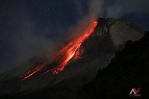
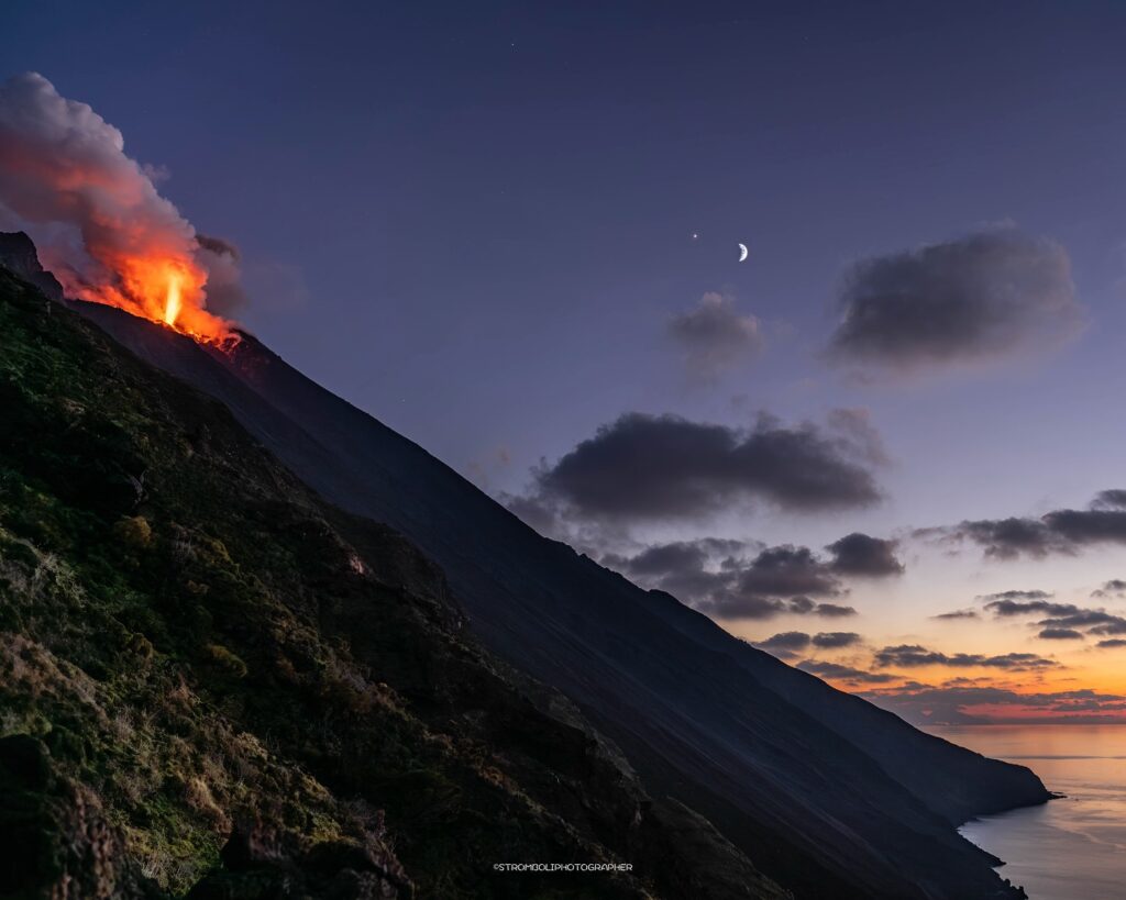
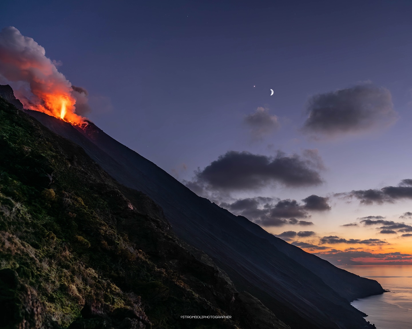
that, starting at 13:05 UTC, lava overflow began in the North crater area; this activity is generating a modest lava flow confined to the upper part of the Sciara del Fuoco. Ordinary Strombolian activity continues in both crater areas (North and Central-South), as does—with varying intensity—spattering (lava ejections) in the North crater area.
Seismically, the temporal evolution of the average volcanic tremor amplitude shows no significant variations and remains within the average range. A slight increase in the occurrence rate and amplitude of explosion quakes has been noted.
Time series from the tilt and GNSS networks show no significant variations.
Further updates will be provided as soon as possible.
Source : INGV
Photo : Stromboli stati d’animo / Sebastiano Cannavo .
Hawaii , Kilauea :
HAWAIIAN VOLCANO OBSERVATORY DAILY UPDATE , U.S. Geological Survey
Monday, October 5, 2026, 9:00 AM HST (Monday, October 5, 2026, 19:00 UTC)
19°25’16 » N 155°17’13 » W,
Summit Elevation 4091 ft (1247 m)
Current Volcano Alert Level: WATCH
Current Aviation Color Code: ORANGE
Summary:
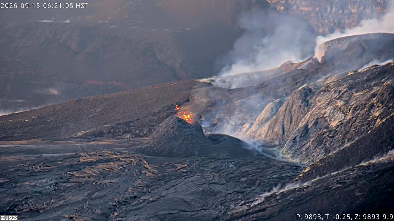
The north and south vents had strong glow and flames overnight and south vent spattered at least once. There has been no reactivation of the September 30–October 1 intrusion. There is no anomalous activity outside of the summit.
Overview:
There was strong glow and flames from north and south vents overnight, and south vent spattered at 1:19 a.m. H.S.T. this morning. The summit intrusion that happened the night of September 30 to October 1 has not reactivated. Summit tiltmeters recorded minor inflation.
Episode 55 fountaining remains a possibility during the ongoing Kīlauea summit eruption. It is also possible that intrusive activity below Kīlauea summit caldera could resume and potentially lead to the eruption of lava in a new location within the caldera.
No anomalous seismic activity or deformation has occurred outside of the summit region, and no significant activity has been noted along Kīlauea’s East Rift Zone or Southwest Rift Zone.
Monitoring data indicate that a shallow intrusion occurred the afternoon of September 30 through to the morning of October 1 underneath Halemaʻumaʻu. The intrusion did not reactive in the past 24 hours, although conditions can change rapidly, including eruption from a new vent with little or no seismicity or deformation.
In the past 24 hours, there was no spattering or overflows at north or south vents. Forecast windows for a potential episode 55 can no longer be modeled due to the irregular changes in inflation and deflation. The north vent has produced the last 11 high fountain events (episodes 44–54). It is not possible to say with certainty that this activity will lead to the onset of another fountain event at this time, although conditions remain favorable.
Because the summit system remains active and highly pressurized, the two most likely possibilities are that activity continues at the north-south-west vent complex, or it activates another existing weak crack system in the summit region. Neither of these events are likely to produce a strong seismic precursor, so the alert levels have been left at ORANGE/WATCH as the volcano continues to « exhibit heightened unrest with an increased potential for eruption ».
Kīlauea has been erupting episodically since December 23, 2024, from two vents (north and south) in Halema‘uma‘u. Lava fountaining episodes, which generally last for less than 12 hours, are separated by pauses of two or more weeks.
Source et photo : HVO.
Indonesia , Ibu :
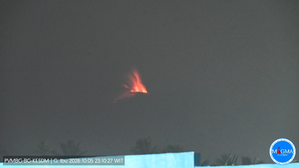
An eruption of Mount Ibu occurred on Monday, October 5, 2026, at 11:09 PM (local WIT time); an ash plume rising approximately 500 meters above the summit (or about 1,825 meters above sea level) was observed. The ash plume, which appeared gray and dense, drifted towards the northeast. The eruption was recorded by the seismograph with a maximum amplitude of 28 mm and a duration of 45 seconds.
Seismic observations
78 eruption earthquakes with amplitudes of 15–28 mm and durations of 32–73 seconds.
3 « emission » earthquakes (gust earthquakes) with amplitudes of 4–10 mm and durations of 36–49 seconds.
12 harmonic tremors with amplitudes of 2–14 mm and durations of 35–86 seconds.
114 low-frequency earthquakes with amplitudes of 2–15 mm and durations of 17–29 seconds.
117 shallow volcanic earthquakes with amplitudes of 2–10 mm and durations of 7–21 seconds.
1 deep volcanic earthquake with an amplitude of 25 mm and a duration of 32 seconds.
1 local tectonic earthquake with an amplitude of 8 mm and a duration of 30 seconds.
7 distant tectonic earthquakes with amplitudes of 4–28 mm and durations of 41–140 seconds.
Recommendations
1. Communities living near Mount Ibu, as well as visitors and tourists, are advised not to conduct any activities within a 2 km radius, nor within the 3.5 km sectoral extension zone stretching toward the crater opening on the northern flank of Mount Ibu’s active crater.
2. In the event of ashfall, people outdoors are advised to protect their nose and mouth (using masks) and their eyes (using protective eyewear).
Source et photo : PVMBG.
Peru , Sabancaya :
Local date and time: October 5, 2026 – 14:02
Bulletin analysis period: September 28 to October 4, 2026
Volcanic alert
Orange alert level: The volcano is experiencing a significant increase in eruptive activity. Intensified seismic activity, frequent explosions, and the emission of ash and ballistic blocks are being observed.
Conclusions
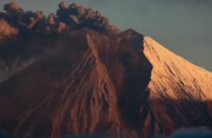
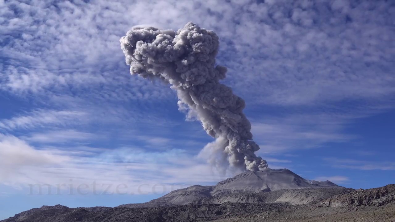
The IGP reports that the eruptive process at Sabancaya volcano is ongoing. During this period, no volcanic explosions were recorded; only emissions of water vapor, ash, and gas reaching up to 900 m above the summit were observed, accompanied by seismic activity linked to the movement of magmatic fluids and internal fracturing. Consequently, the volcanic alert level remains at orange.
Recommendations
Stay continuously informed about Sabancaya’s volcanic activity through reports and bulletins published by the IGP on our website: https://cenvul.igp.gob.pe/.
Outlook
Future volcanic explosions generating eruption columns exceeding 2 km in height are considered probable. Such events could affect districts in the Colca Valley and surrounding areas through volcanic ash dispersion; therefore, the volcanic alert level remains at orange.
Source : Cenvul.
Photo : M Rietze ( archive).
Chile / Argentina , Nevados de Chillán :
SPECIAL REPORT ON VOLCANIC ACTIVITY, October 5, 2026
The Argentine Geological and Mining Service (SEGEMAR), through its Argentine Volcanic Monitoring Observatory (OAVV), reports that today, Monday, October 5, 2026, during the morning hours, volcanic monitoring cameras installed near the Nevados de Chillán volcanic complex (operated by OVDAS) recorded an increase in explosive activity. This activity is characterized by persistent incandescence at the active craters and the ejection of ballistic material reaching distances greater than those previously observed.
Furthermore, analysis of Sentinel-2 L2A satellite imagery from October 4, using a false-color band combination, detected thermal radiance anomalies in the area of the effusive body. The Mirova platform indicates the presence of thermal anomalies over the past few days, with a peak radiative power of 6 MW. Both parameters point to a rise in the volcanic system’s surface temperature.

At the time of writing this report, seismic activity is ongoing; it is characterized by events linked to fluid dynamics within the volcano (LP and TR types), episodes of harmonic tremor with reduced displacement values below 150 cm², and acoustic signals below 1 Pa (normalized to a distance of 1 km).
OBSERVATIONS:
In this context, the occurrence of future events of a similar or higher energy level cannot be ruled out. Based on available information, the recorded events have remained localized in areas near the active craters within Chilean territory; to date, no impact has been observed on populations located in Argentine territory.
CONCLUSIONS:
The technical alert level remains in effect, and volcano monitoring will continue in constant coordination with Chile’s Southern Andes Volcanological Observatory (OVDAS); any developments in the situation will be communicated accordingly.
Source : Segemar .
Photo : Sernageomin.