July 24 , 2026.
Philippines , Mayon :
The Philippine Institute of Volcanology and Seismology (PHIVOLCS) reported that the eruption at Mayon continued during 16-22 July, characterized by lava effusion, periodic pyroclastic density currents (PDCs), incandescent rockfalls, and occasional ash-and-gas plumes. Emissions were visible daily rising as high as 2 km above the summit and drifting SSE, SSW, and W. Each day the seismic network recorded 18-314 rockfalls, and a decreasing number of daily volcanic earthquakes from as many as 196 on 16 July to as few as 4 on 22 and 23 July. The earthquake counts included 3-51 daily periods of volcanic tremor lasting 1-54 minutes during 16-19 July. A total of 16 PDCs occurred on 16 July, one occurred on 18 July, and four were recorded on 19 July. Daily measurements of sulfur dioxide emissions averaged 912-4,814 tonnes per day. The lava flows did not advance in the Mi-isi (S), Bonga (SE), and Basud (E) drainages, remaining 1.8, 3.2, and 3.8 km long, respectively.
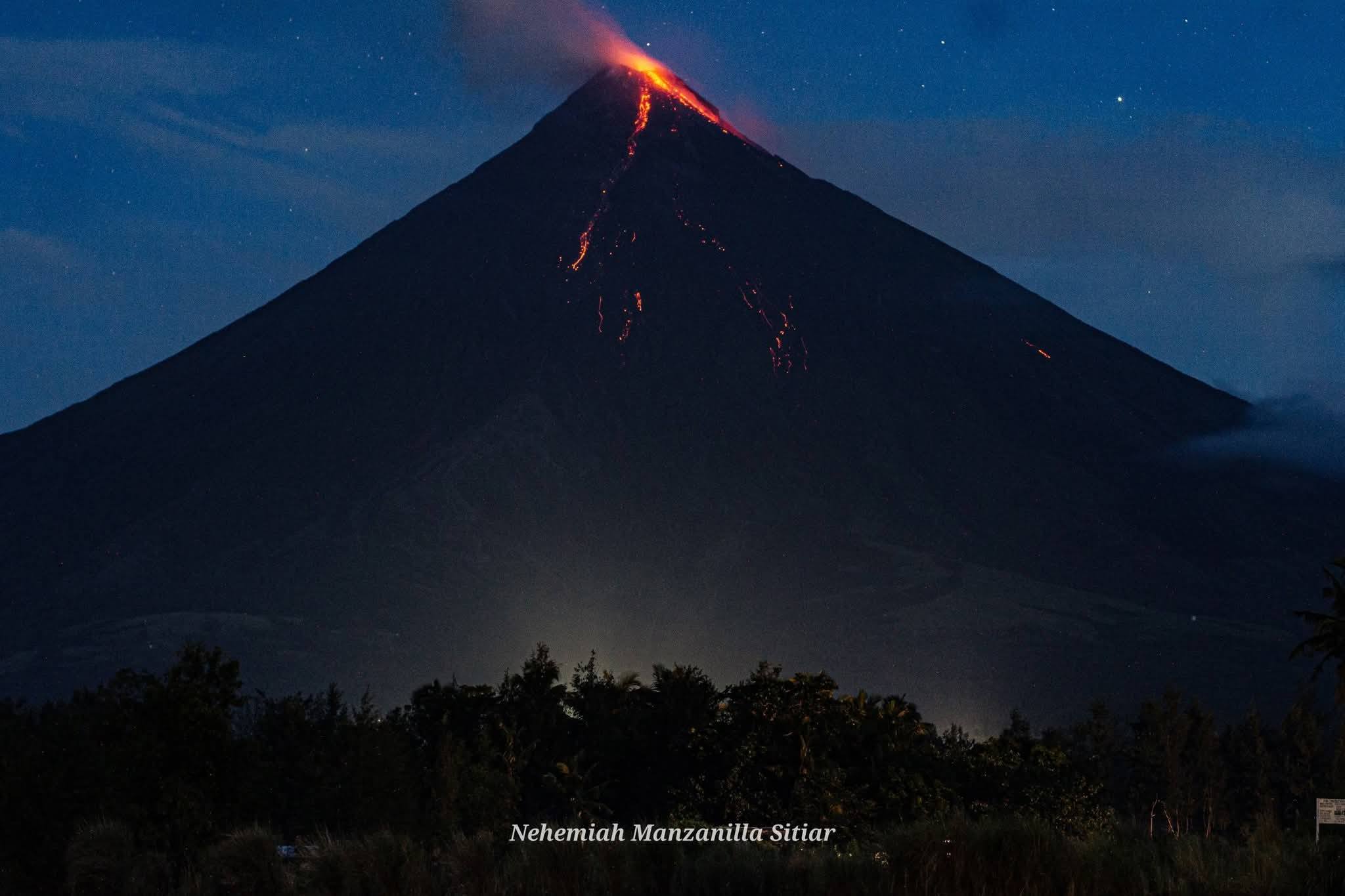
Symmetrical Mayon, which rises above the Albay Gulf NW of Legazpi City, is the most active volcano of the Philippines. The steep upper slopes are capped by a small summit crater. Recorded eruptions since 1616 CE range from Strombolian to basaltic Plinian, with cyclical activity beginning with basaltic eruptions, followed by longer periods of andesitic lava flows. Eruptions occur predominately from the central conduit and have also produced lava flows that travel far down the flanks. Pyroclastic density currents and mudflows have commonly swept down many of the approximately 40 ravines that radiate from the summit and have often damaged populated lowland areas. A violent eruption in 1814 killed more than 1,200 people and devastated several towns.
Sources: Philippine Institute of Volcanology and Seismology (PHIVOLCS) , GVP.
Photo :Nehemiah Manzanilla Sitiar
Indonesia , Anak Krakatau :
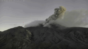
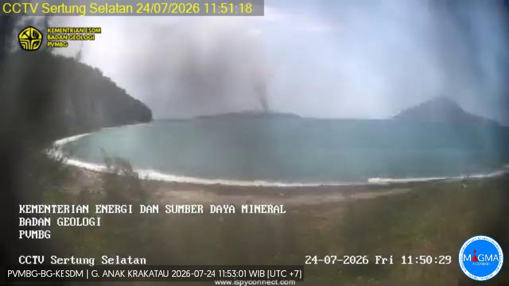
The Pusat Vulkanologi dan Mitigasi Bencana Geologi (PVMBG) reported that an eruption at Krakatau continued during 16-22 July. White, gray, and/or black ash plumes rose as high as 200 m above the summit and drifted in multiple directions during 16 and 19-20 July. Incandescence was visible at night on 11 July. White plumes rose up to 100 m above the summit on the other days. The Alert Level remained at 3 (on a scale of 1-4), and the public was warned to stay 3 km away from the active crater.
Seismic observations
A period of continuous tremor with an amplitude of 2 to 22 mm (dominant amplitude: 10 mm).
Recommendations
The public, visitors, tourists, and hikers are advised not to approach Mount Anak Krakatau or engage in activities within a 3 km radius of the active crater.
Sources and photo : Pusat Vulkanologi dan Mitigasi Bencana Geologi (PVMBG, also known as CVGHM) , GVP.
Iceland , Reykjanes Peninsula :
Situation on the Reykjanes Peninsula . Uplift at Svartsengi continues at a steady rate
Updated 21 July 2026
Uplift at Svartsengi continues at a slow but steady rate
Seismic activity remains low
The hazard assessment is unchanged
Uplift and magma accumulation continue at Svartsengi, with measurements showing that the development remains slow but steady. The latest model calculations indicate that magma accumulation beneath Svartsengi since the start of the last eruption, on 16 July 2025, is estimated at 28.3 million cubic metres, with an uncertainty range of 27.5 to 29.1 million cubic metres.
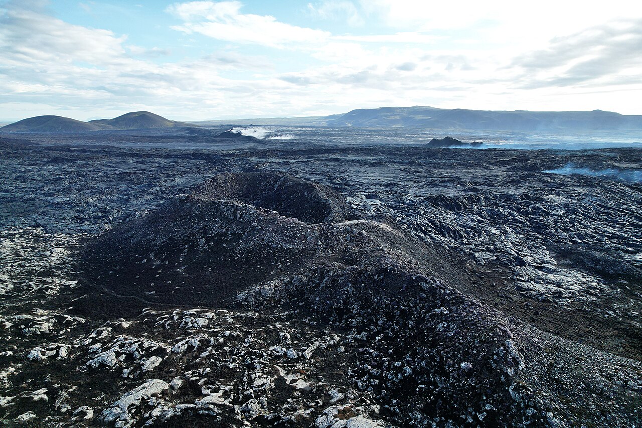
As magma continues to accumulate and pressure within the system increases, the most likely scenario is that a magma intrusion will propagate from Svartsengi towards the Sundhnúkur crater row, potentially leading to an eruption. As before, only a short warning period should be expected. In previous events, the warning time has ranged from 20 minutes to just over four hours.
Seismic activity
Seismic activity along the Sundhnúkur crater row and near Grindavík remains low.
Hazard assessment
The hazard assessment remains unchanged and is valid until 30 September.
Source : IMO.
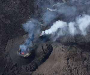
Photo : Sundhnukur / Steinninn.
Kamchatka , Sheveluch :
KVERT VOLCANIC ACTIVITY NOTICE (VAN)
Issued: July 23 , 2026
Volcano: Sheveluch (CAVW #300270)
Current aviation colour code: ORANGE
Previous aviation colour code: orange
Source: KVERT
Notice Number: 2026-80
Volcano Location: N 56 deg 38 min E 161 deg 19 min
Area: Kamchatka, Russia
Summit Elevation: 3283 m (10768.24 ft), the dome elevation ~2500 m (8200 ft)
Volcanic Activity Summary:
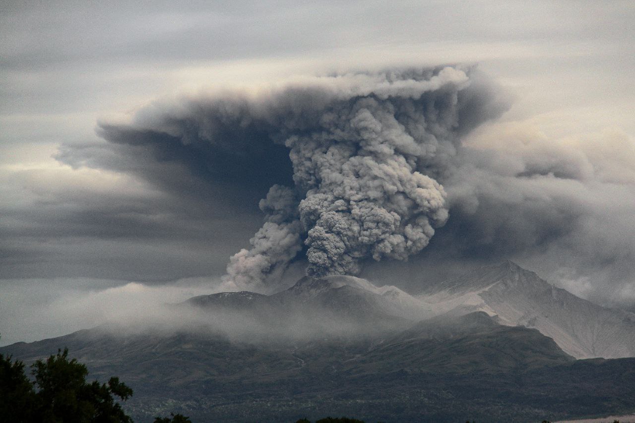
The explosive-extrusive eruption of the volcano continues, accompanied by powerful gas-steam activity; a new block of lava continues to grow in the northern part of the lava dome. Explosions sent ash up to 7 km a.s.l., and ash cloud move for 33 km to the northeast of the volcano.
The explosive-extrusive eruption of the volcano continues. Ash explosions up to 12 km (39,400 ft) a.s.l. could occur at any time. Ongoing activity could affect international and low-flying aircraft.
Volcanic cloud height:
7000 m (22960 ft) AMSL Time and method of ash plume/cloud height determination: 20260723/1810Z – Himawari-9 14m15
Other volcanic cloud information:
Distance of ash plume/cloud of the volcano: 33 km (21 mi)
Direction of drift of ash plume/cloud of the volcano: NE / azimuth 75 deg
Time and method of ash plume/cloud determination: 20260723/1810Z – Himawari-9 14m15
The Kamchatkan Volcanic Eruption Response Team (KVERT) reported continuing lava effusion and explosive activity at the lava domes along the N crater floor of Young Sheveluch (on the SW flank of Old Sheveluch) during 16-22 July. A thermal anomaly was identified in satellite images on all or most days. Explosions at 00h45 on 16 July produced ash plumes that rose 6.5 km (21,300 ft) a.s.l. and drifted 1,300 km SE. Ash plumes from explosions the next day rose 8.8 km (28,900 ft) a.s.l. and drifted 200 km E at 20h40 on 17 July. Explosions at 09h15 on 20 July generated ash plumes that rose 10.5 km (34,500 ft) a.s.l. and drifted 750 km E. The Aviation Color Code remained at Orange (the second highest level on a four-color scale). Dates are based on UTC; specific events are in local time where noted.
Source : Kvert.
Photo : Viktor Frolov ( archive).
Vanuatu , Ambae :
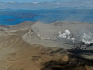
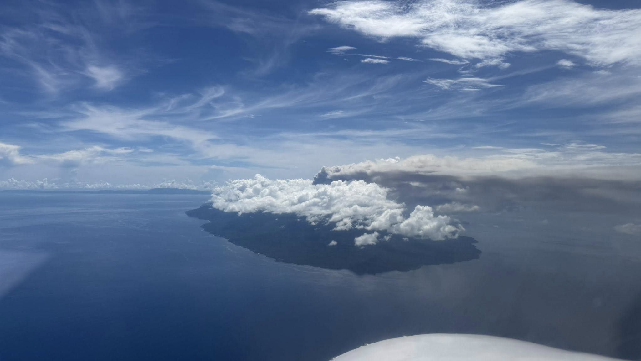
The Wellington Volcanic Ash Advisory Center (VAAC) reported that ash-and-gas plumes at Ambae were identified in satellite and webcam views during 15 and 18-20 July rising 2.7-4.3 km (9,000-14,000 ft) a.s.l. and drifting SE, S, and SW. The plumes were brown on 19 July. The same day some flights were disrupted or canceled according to a government source. The Alert Level remained at 3 (on a scale of 0-5), and the public was warned to stay outside of Danger Zone B, defined as a 3-km radius around the active vents in Lake Voui, and to stay away from drainages during heavy rains.
The island of Ambae, also known as Aoba, is a massive 2,500 km3 basaltic shield that is the most voluminous volcano of the New Hebrides archipelago. A pronounced NE-SW-trending rift zone with numerous scoria cones gives the 16 x 38 km island an elongated form. A broad pyroclastic cone containing three crater lakes (Manaro Ngoru, Voui, and Manaro Lakua) is located at the summit within the youngest of at least two nested calderas, the largest of which is 6 km in diameter. That large central edifice is also called Manaro Voui or Lombenben volcano. Post-caldera explosive eruptions formed the summit craters about 360 years ago. A tuff cone was constructed within Lake Voui (or Vui) about 60 years later. The latest known flank eruption, about 300 years ago, destroyed the population of the Nduindui area near the western coast.
Sources: Wellington Volcanic Ash Advisory Center (VAAC), Vanuatu Meteorology and Geohazards Department (VMGD), Australian High Commission in Port Vila, Vanuatu , GVP.
Photo : Unity Airlines Vanuatu